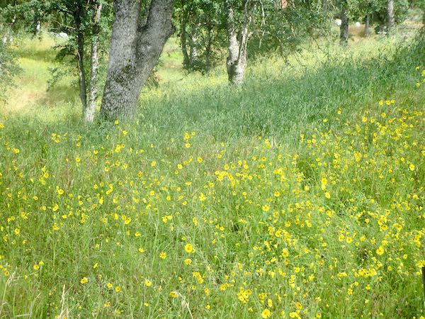
These are photos that could have been used in yesterday’s posts about what I learned in April. But since I am not working very much and Mineral King isn’t open yet, I saved some of them for today.
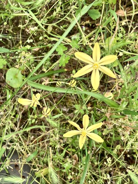
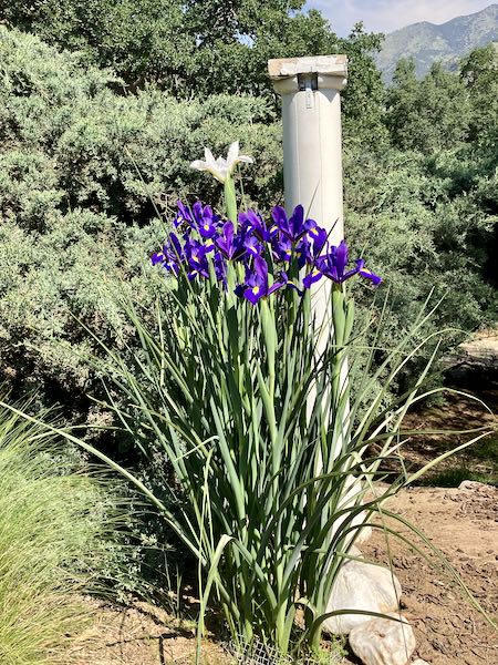
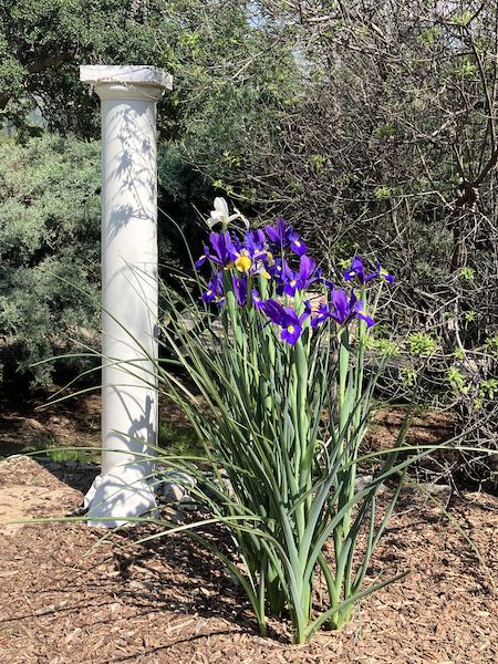
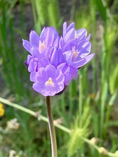
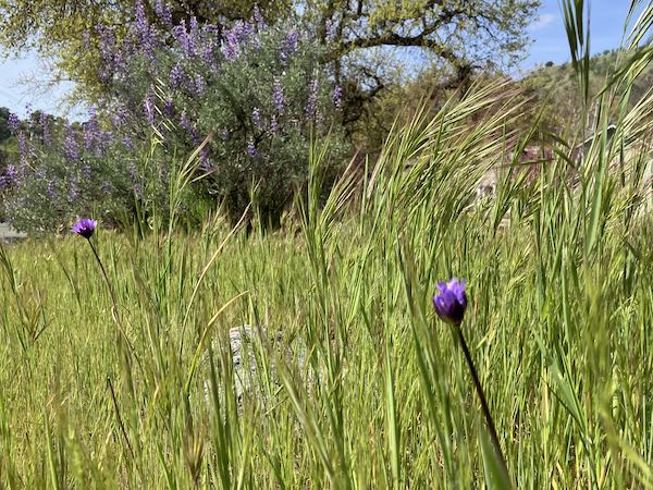
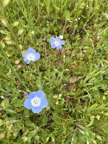
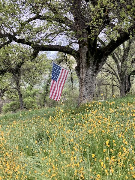
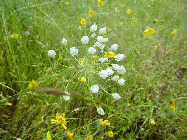
This white flower is a brodiaea that comes near the end of spring. Each one of those buds will pop open.
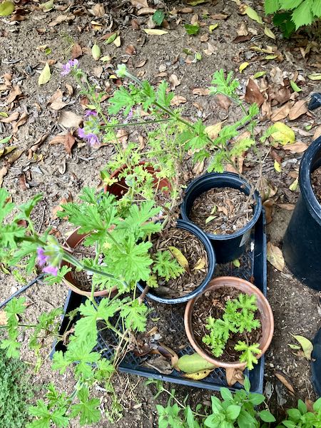
Lemon geranium is easy to start in pots, and I keep some ready to share on a regular basis. They came in handy when I needed a good ground cover for the vacation rental where I planted things last week.
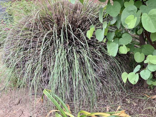
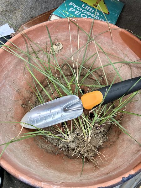
While doing a bit of weeding at church, I realized that there were baby grasses of that roundy-moundy grass plant. I had just bought a new trowel, and this bowl was covering an irrigation timer, so I helped myself. Then I remembered to take a photo after we were on the way home from errands; hence the library book beneath the bowl.
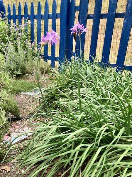
My vacation rental manager/friend texted me from a nursery to ask if she should buy some society garlic. “Absolutely not!” said I. I have enough for a small island nation, right here in my herb garden.
She and I have landscaped an entire rental that began as squirrel holes and weeds. We did it on a shoestring, using plants that self-sow, rooting cuttings in dirt, rooting cuttings in water, and digging up plants all over my yard. It looks pretty great, albeit not formally landscaped. We definitely made some mistakes when buying plants, not understanding how large they might get. That’s okay—she now has someone who does mow/blow/go with occasional pruning, me for weeding, and the pair of us for transplanting.
When you live in a small town like Three Rivers, you get to know lots of people. This brings opportunities to try things, to experiment, to help friends out: hence, my “side-hustle” as a gardener.
Many people complain about vacation rentals, and it is true that there are too many in Three Rivers. “Too many” because normal people have been priced out of the market. Our town is hollowed out of actual residents—folks who put children in school, join clubs, attend churches, serve on local water boards, and lend you an egg or a can of tomato sauce in a pinch.
However, those vacation rentals are well-maintained, well-landscaped, pay their bills, don’t have barking dogs, and don’t park on the lawn. They also provide gainful employment for locals and people who come from down the hill to work (because they can’t afford to live here). Sigh.