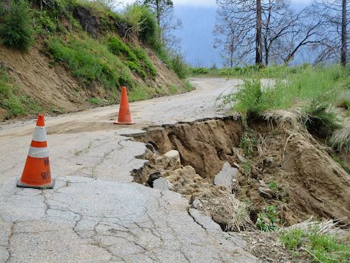
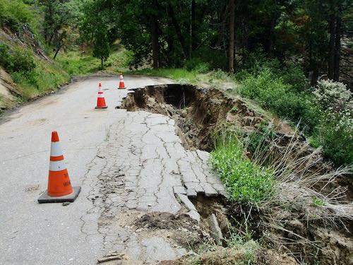
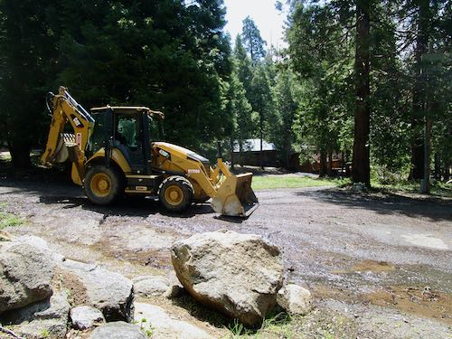
For many years, there has been talk of repairing the Mineral King road. Talk talk talk, yadda yadda yadda, blah blah blah. Surveys, public meetings, emails. Fires, floods, emergency repairs, road closures.
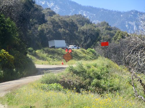
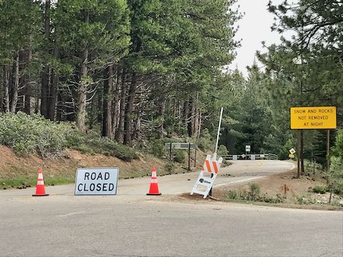
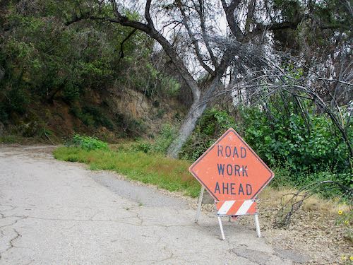
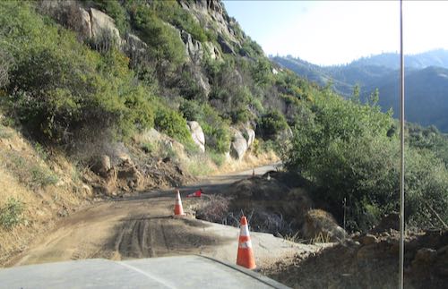
Finally, the work has begun. The road won’t be open to the public until the Wednesday before Memorial Day weekend, and there is a very rigid schedule about when you can pass through the work zone and when you will have to just wait.
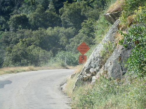
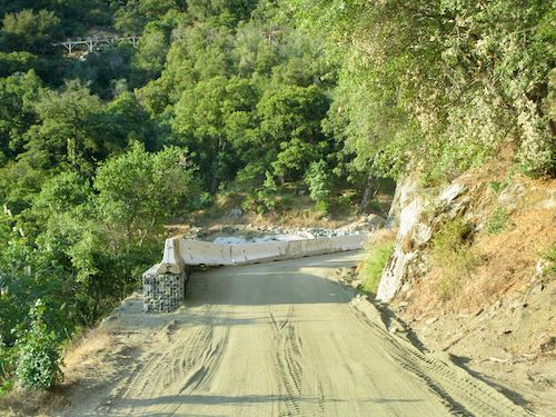
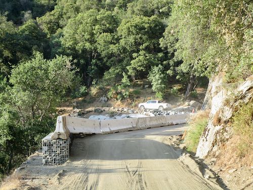
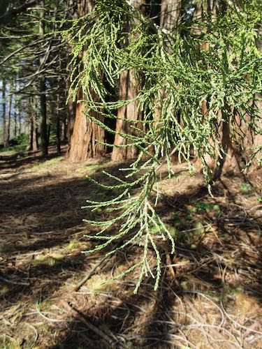
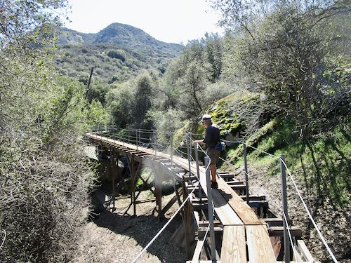
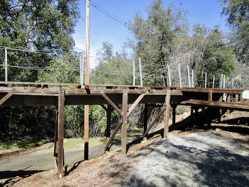
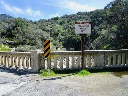
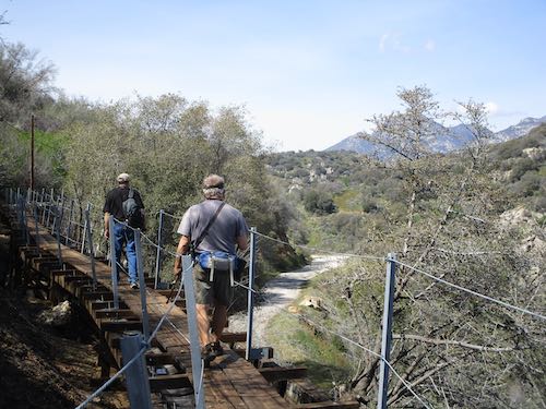
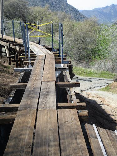
I was happy to see all the green and the wildflowers, along with the reassurance that the temporary bridge made it through the winter. (I’m always relieved to see the sign on the way back home too, because if it is temporary, maybe it will vanish while we are up the hill.)
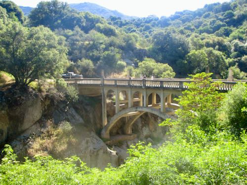
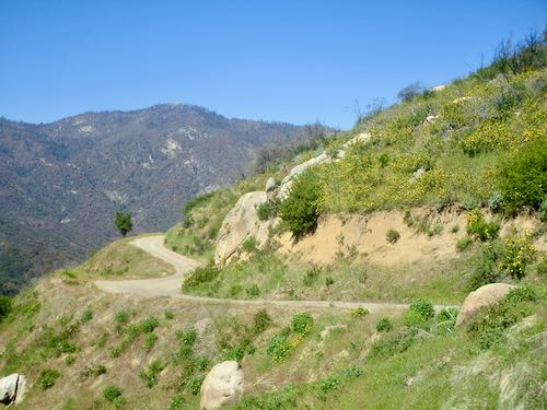
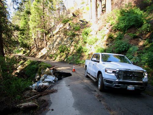
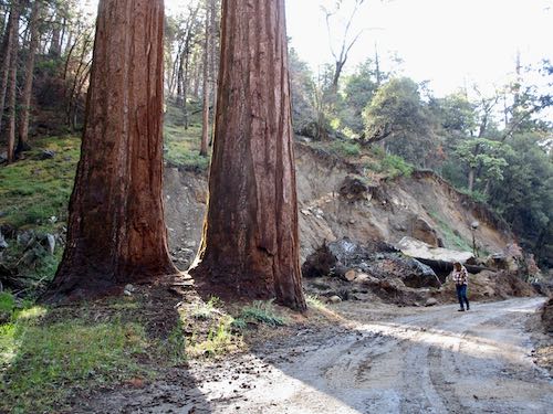
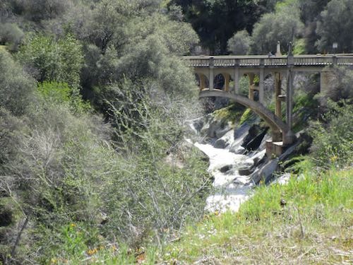
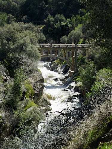
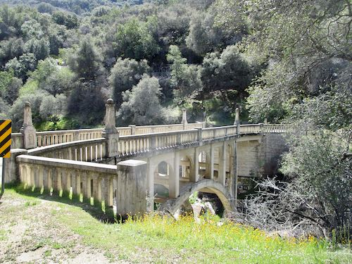
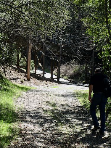
Here’s my old friend the Oak Grove Bridge. During all the public meetings about the road, it was voted to simply repair the bridge. Then Those Who Know More determined that it isn’t repairable and there is talk of converting this bridge to a foot bridge and putting a new driving bridge upstream. I don’t expect this to happen in my lifetime. This is on the county portion of the road, and the construction is only on Sequoia National Park’s portion, ending about 4 miles below the end of the road. Yeppers, the very rough upper dirt portions will remain and the threatened fancy-pants parking lots aren’t part of the plan.

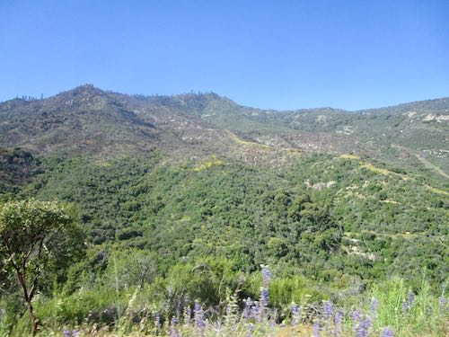
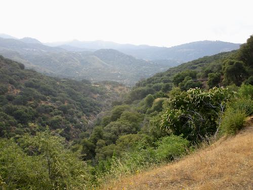
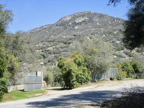
That’s Case Mountain over there. It is very green, and there are new roads carved in because of the wildfire last fall.
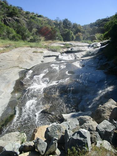
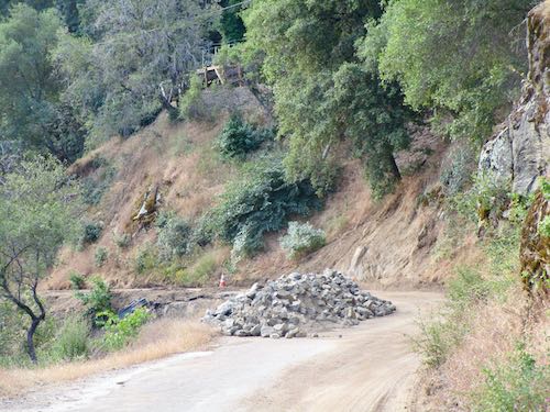
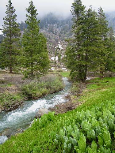
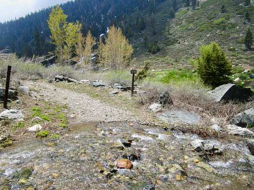
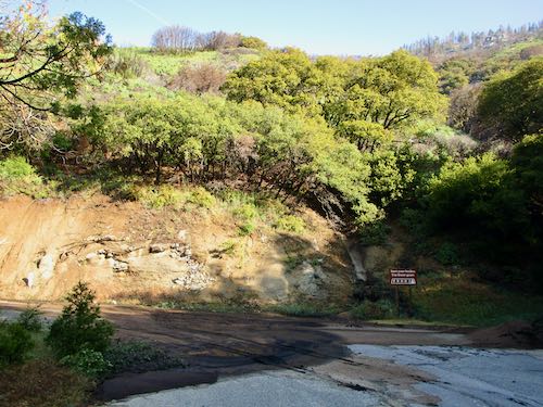
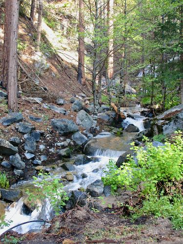
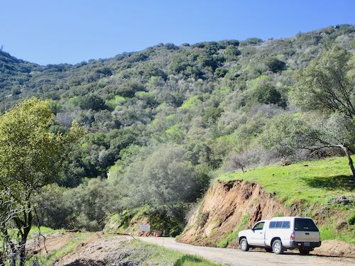
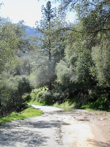
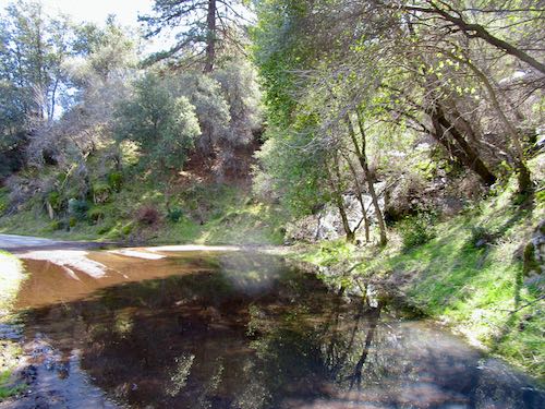
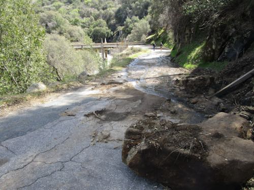
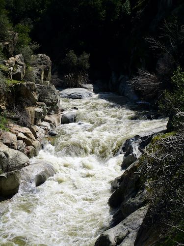
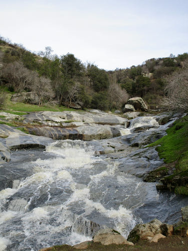
This is Squirrel Creek, just above the Sweet Ranch and below the park boundary, now with a mysterious road-construction-generated load of rocks by the turnout.
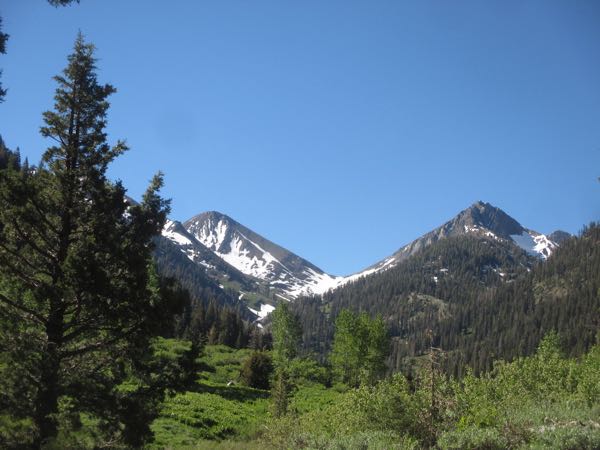
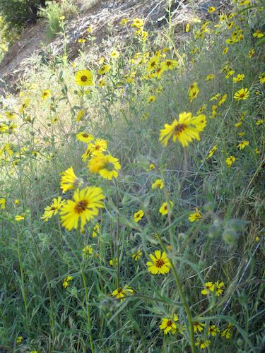
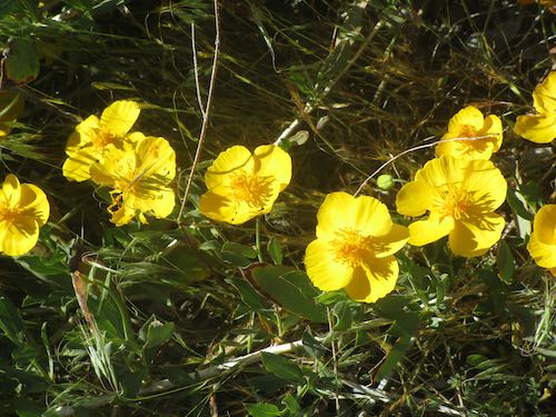
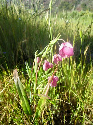
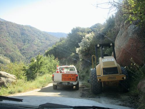
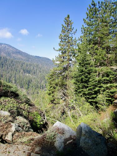
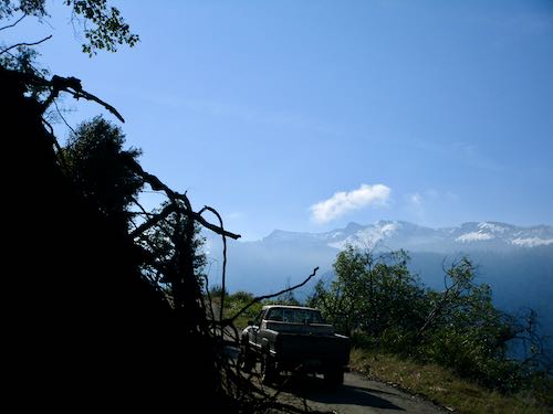
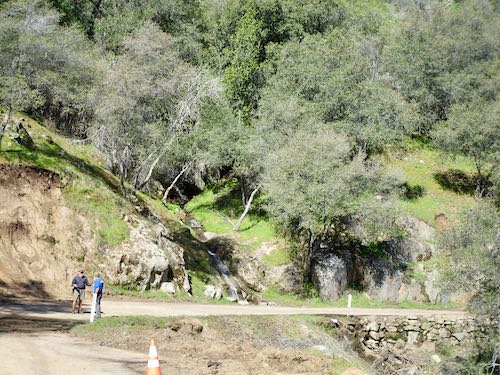
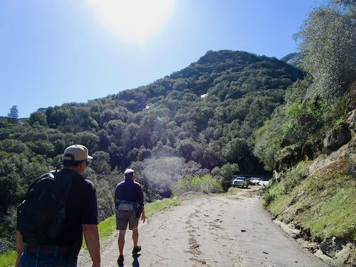
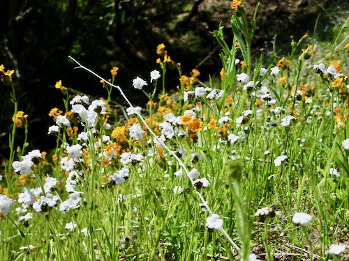
We pulled over to wait for the pilot car, and enjoyed some wildflowers and a view.
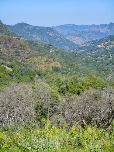
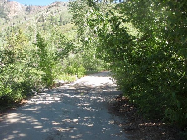
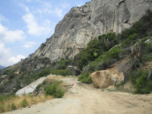
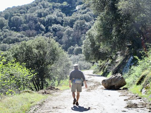
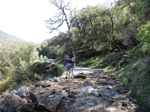
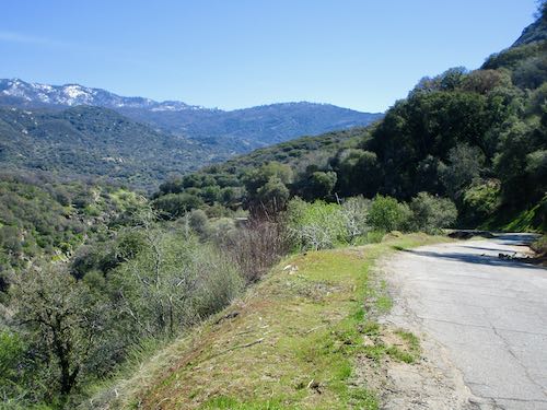
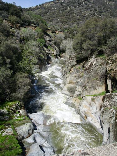
This is looking back at the road, still green. The wildfires (in 2020, 2021, 2024) required much brush clearing so it is a lot easier to see traffic ahead now. (Looking for a silver lining. . .)
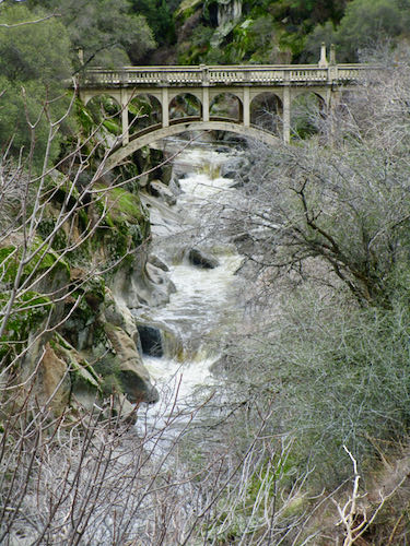
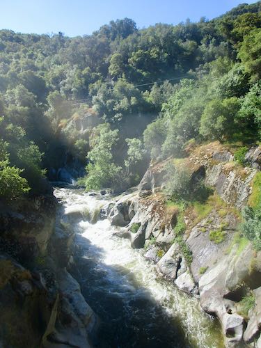
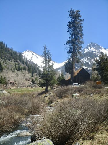
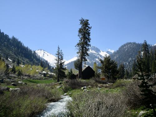
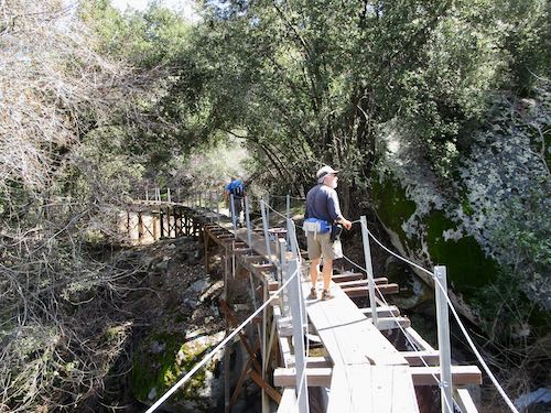
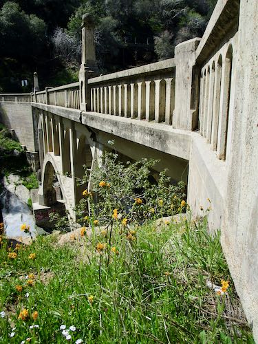
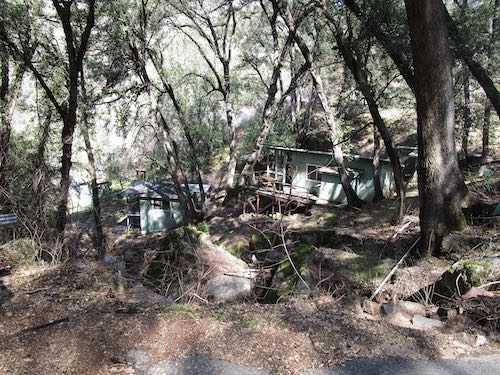
Because Mineral King isn’t open to the public just yet, I didn’t want to rub it in that cabin folks can go. Right now it is rather colorless, because the green is barely beginning and there is a lot of snow. Here is the classic view from the bridge on the way out, which was a bit of a hustle in order to meet the pilot car*.
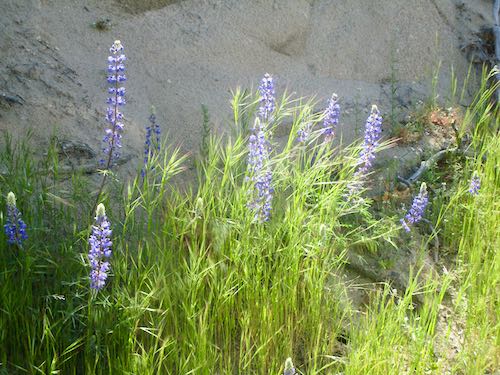
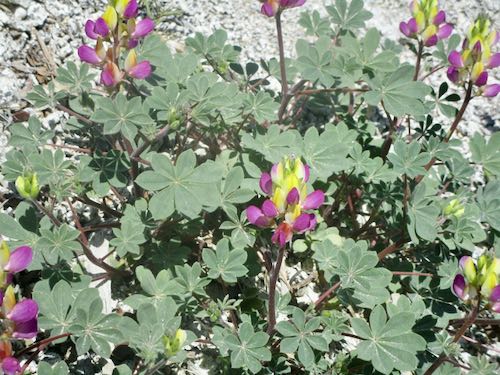
We got to the waiting area (just above Slapjack) with enough time to see some harlequin lupine.
It is going to be a summer of disruption, waits in the sun, and a much longer drive to Mineral King. (We left home at 8:30 and arrived at the cabin at 11:30. . . sing with me “a three hour tour, a three hour tour”)
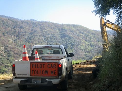
*Someone reported being 10 minutes late to the pilot car area and he had to wait 3 hours for the next pass-through time. Do not mess with these construction workers and their schedule!
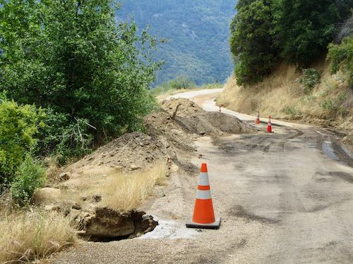
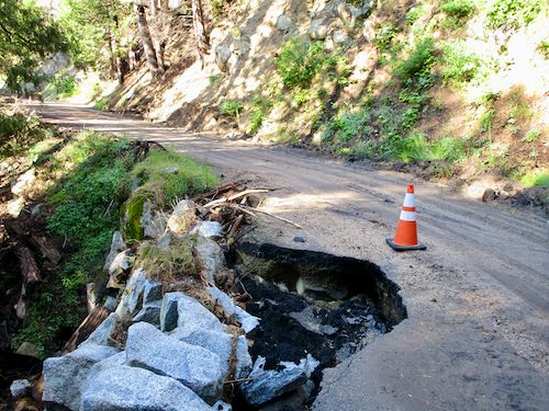
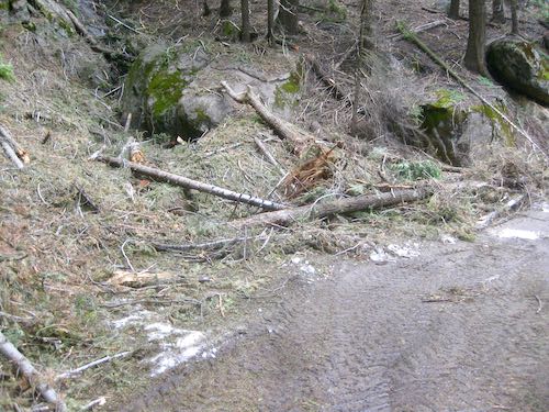
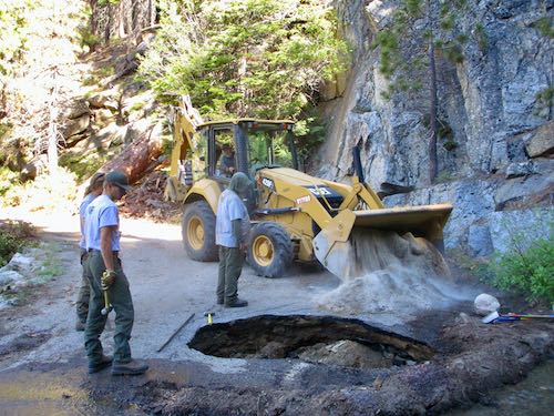
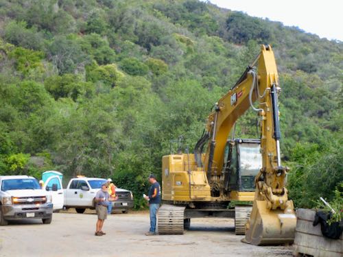
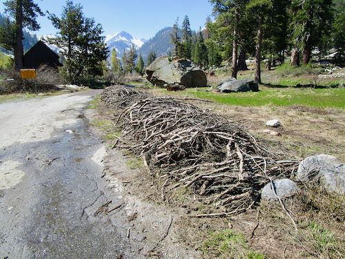
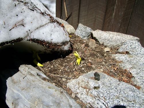
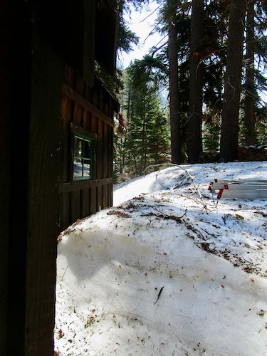

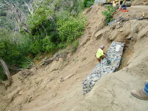
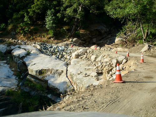

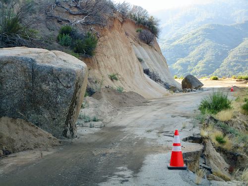
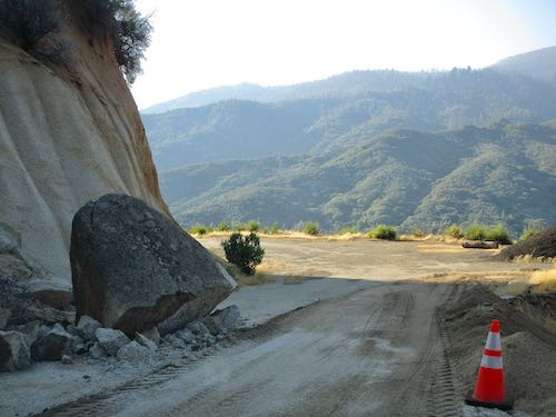
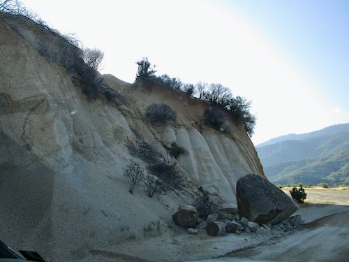
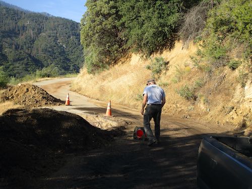
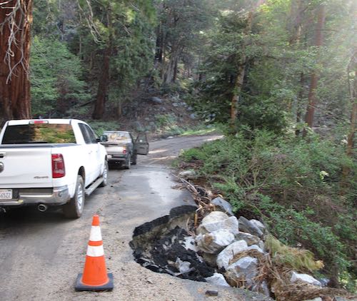
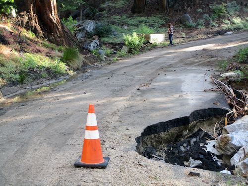
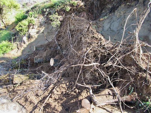
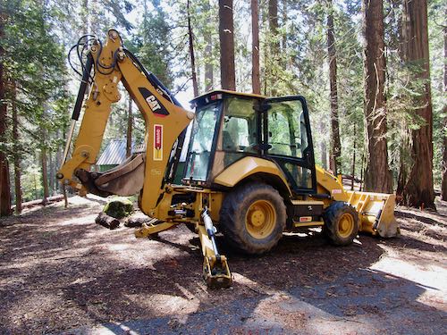
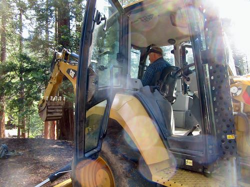
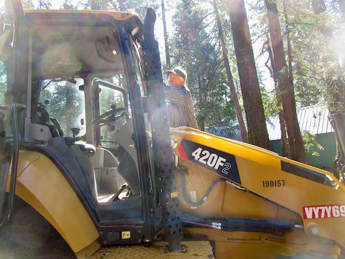
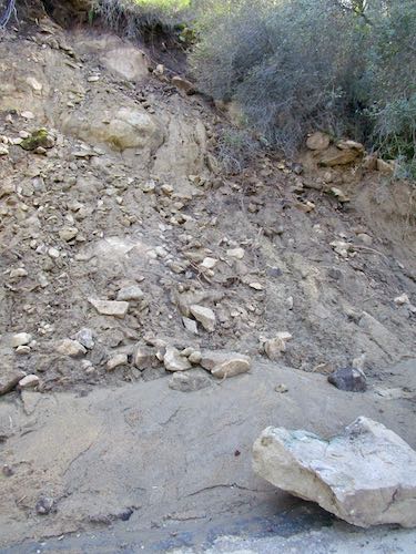
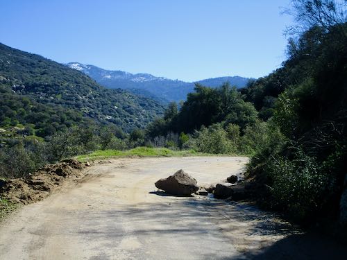
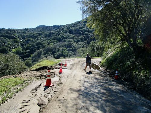
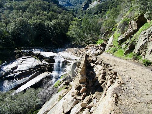
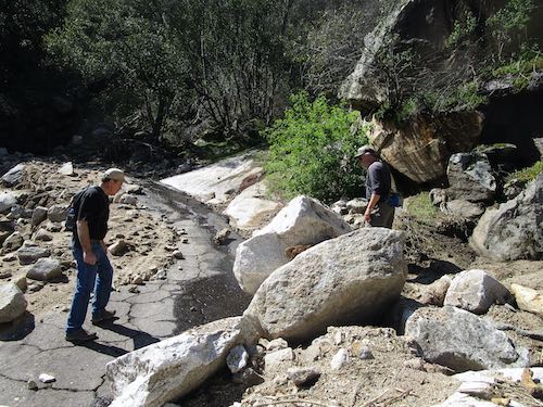
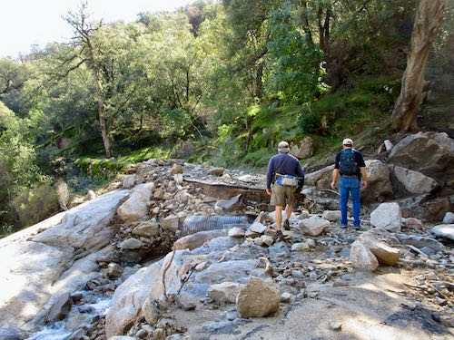
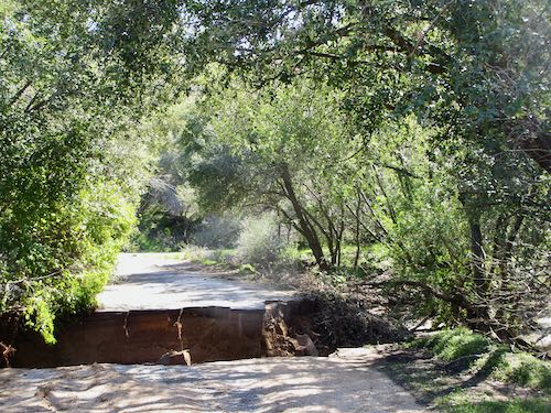
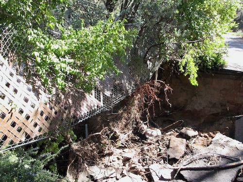
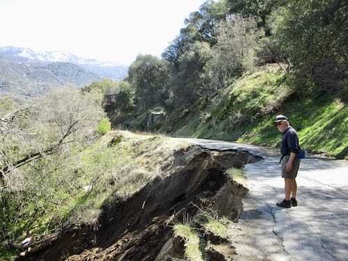
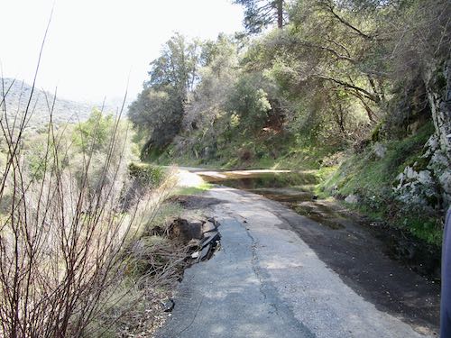
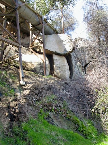
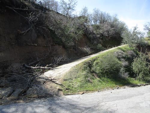
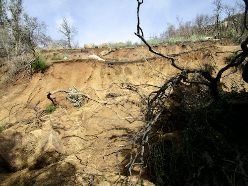

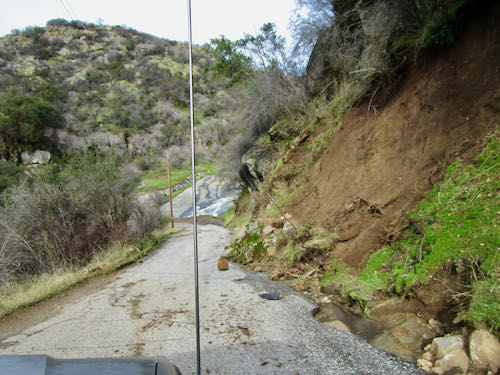
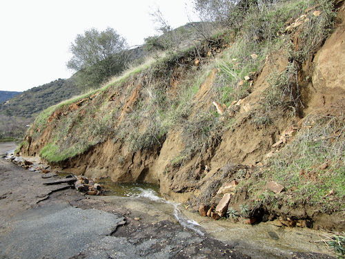
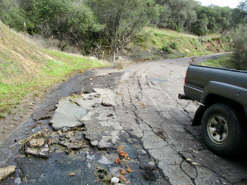
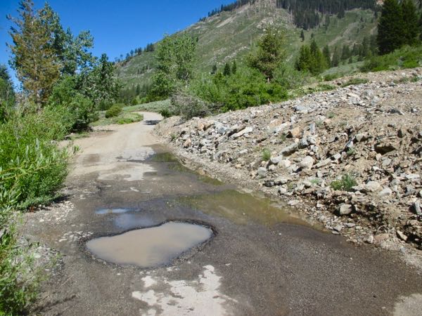
 Here is another mess.
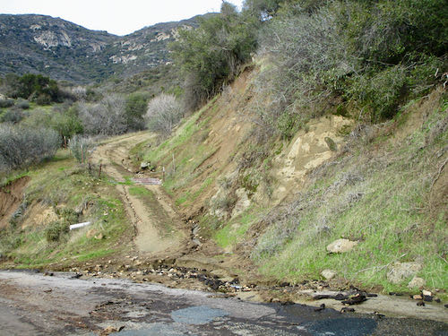
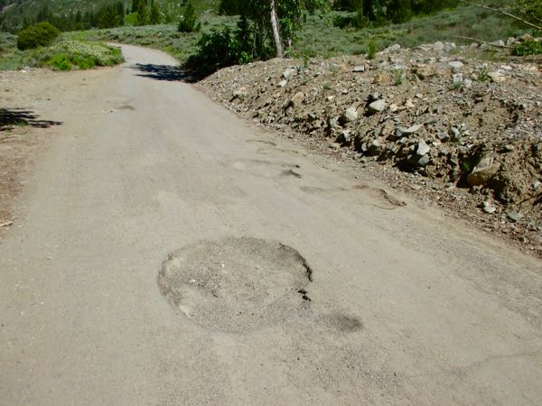
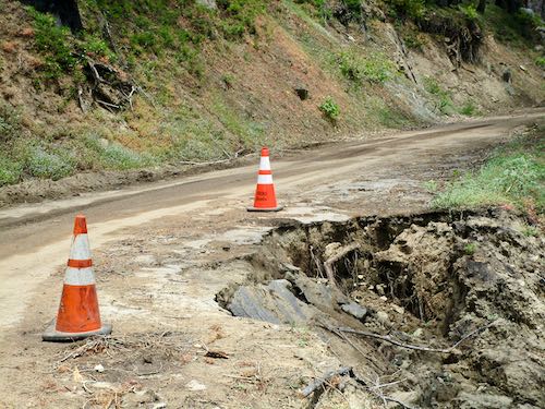
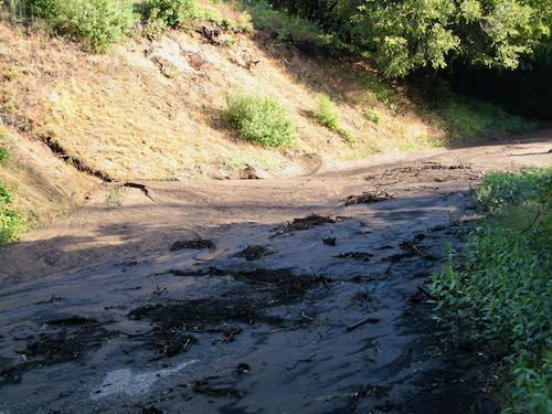
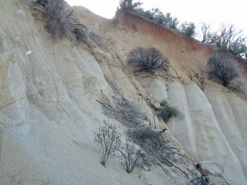
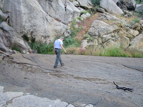
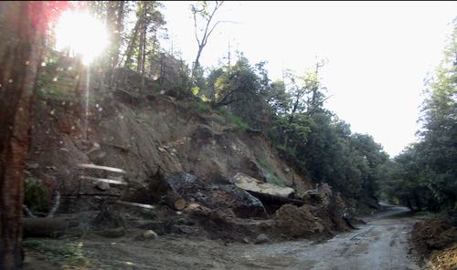
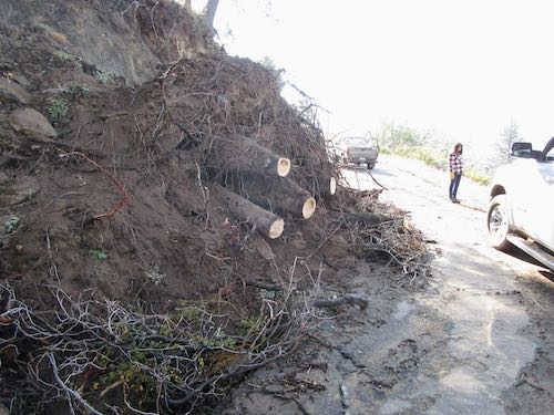
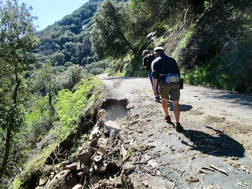
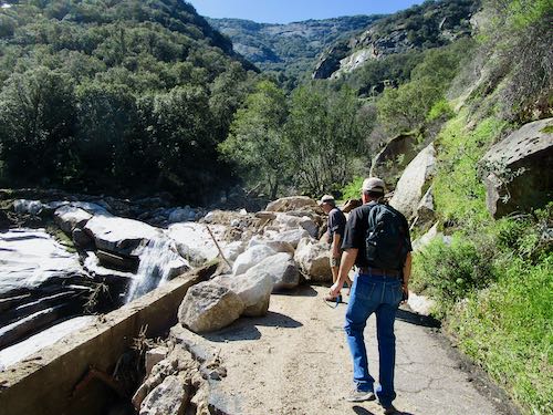
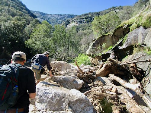
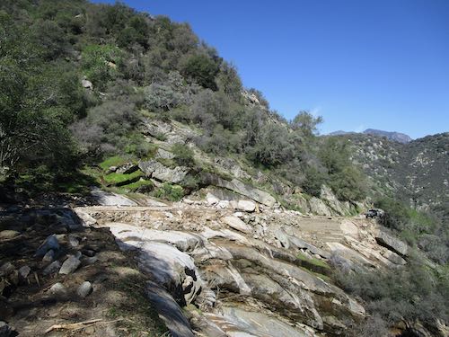
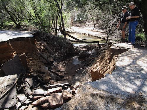
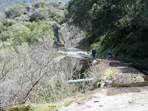
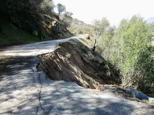
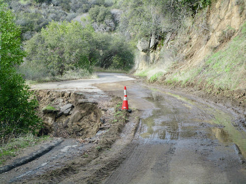