If you receive these posts in email and the pictures in the post don’t show for you, tap here janabotkin.net. It will take you to the blog on the internet.
Sometimes life piles up a stack of difficult tasks, unpleasant chores, awkward situations, design problems that don’t seem to have an answer, missing information, incorrect instructions, circumstances that require negotiating skills, tricky decisions, impossible priorities. (Does this make you want to stab yourself with your pencils or knitting needles? Slam some chocolate? Curl up under your dining table with your thumb in your mouth?)
 Recently I had a few of those types of challenging paths to navigate. Nothing serious, just no clear path ahead in several areas, all business-related.
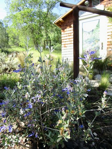
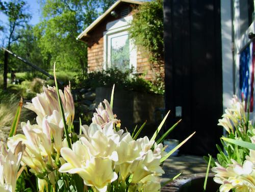
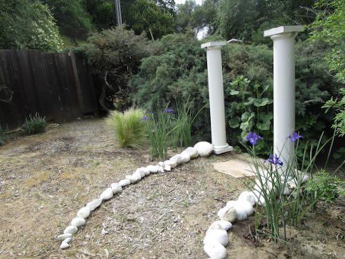
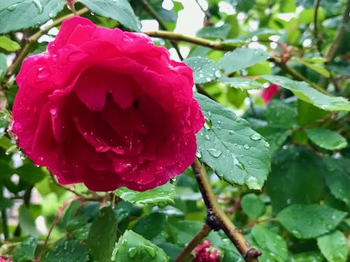
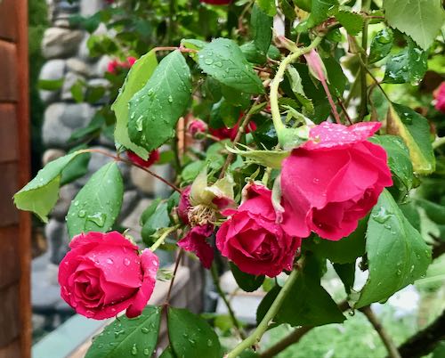
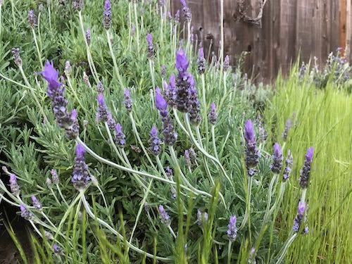
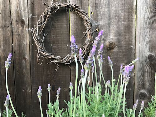
 So, I spent an entire day digging in the yard after a trip to a plant nursery so extensive that it required a more substantial vehicle than Fernando. I had been saving some gift certificates, and those were spent, along with some green paper with pictures of dead men’s faces, and I even plasticized some of the plants to put in the studio garden. (That means I used a debit card because it was a business expense.)
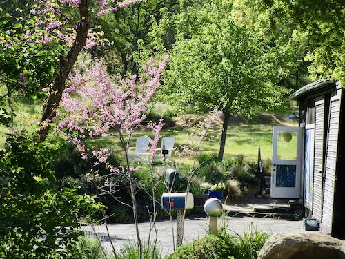
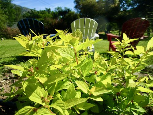
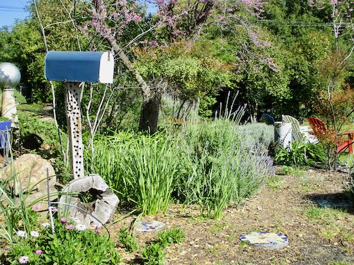
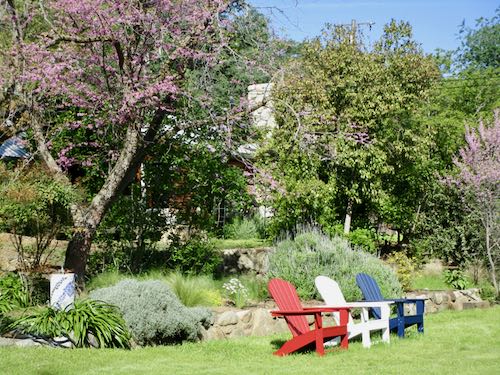
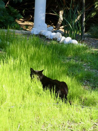
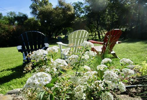
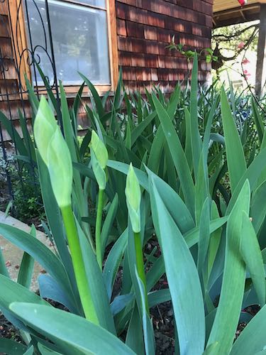
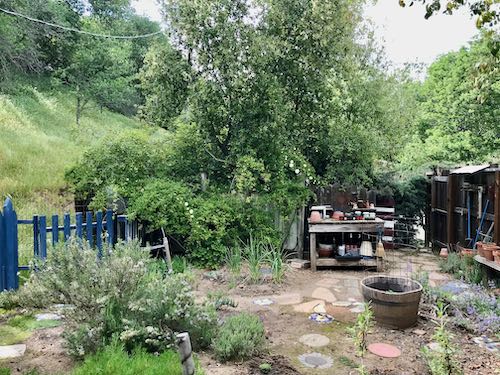
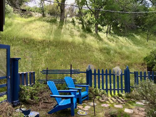
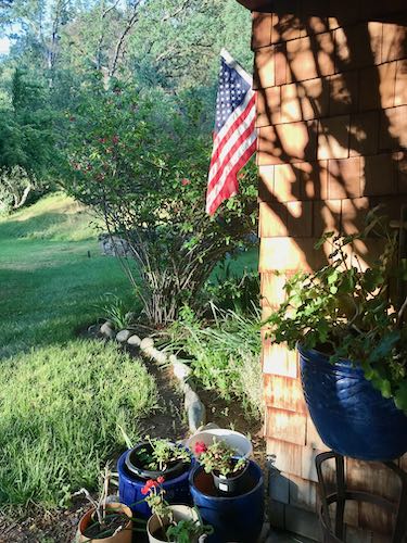
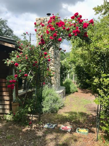
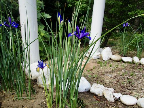
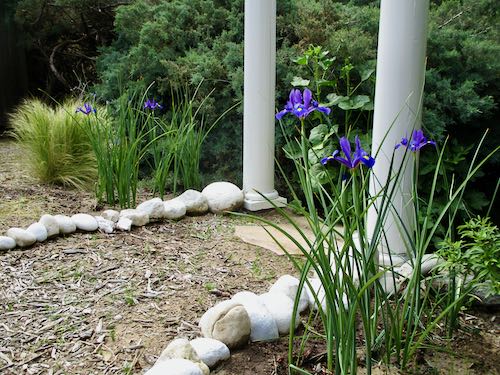
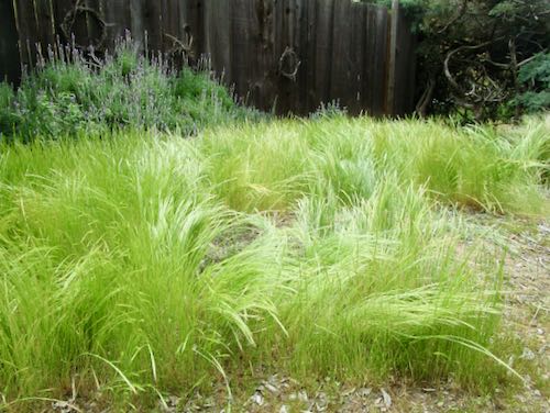
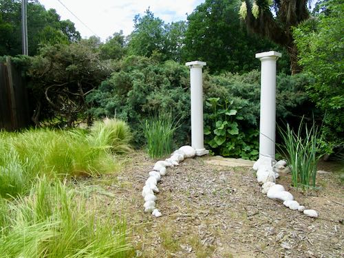
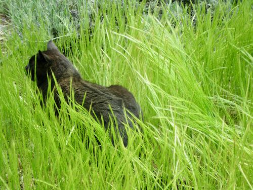
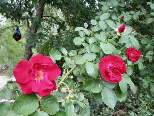
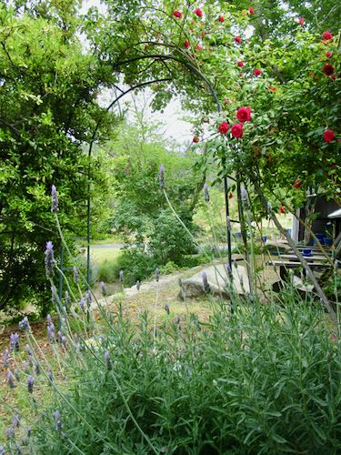
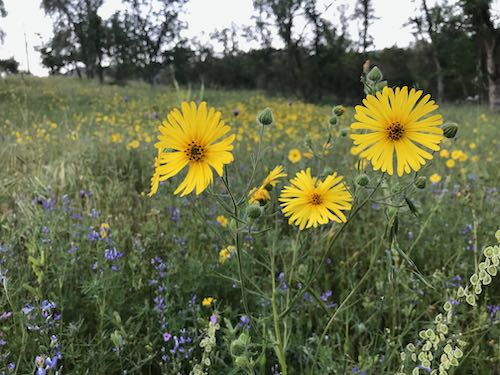
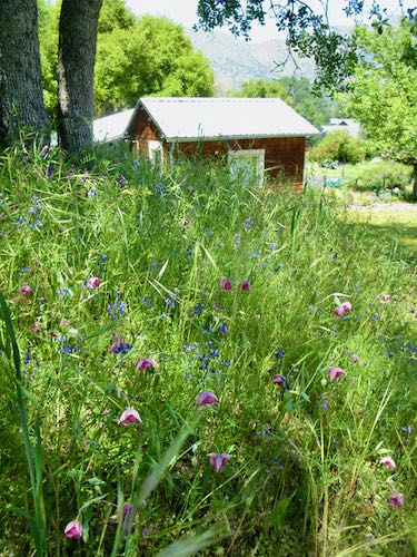
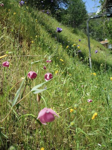
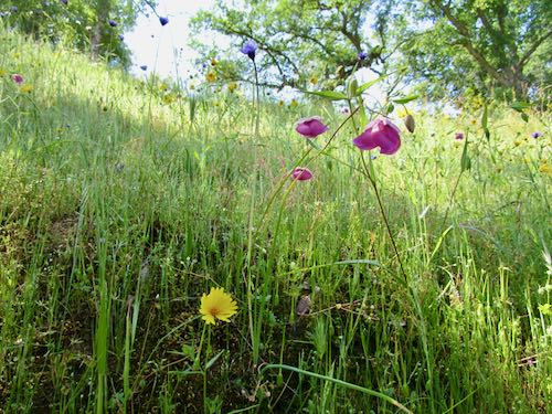
 My yard is immense. It has about 10 separate sections, none of which look very polished, but all of which are a pleasure to putter around in (until the mozzies show up.)
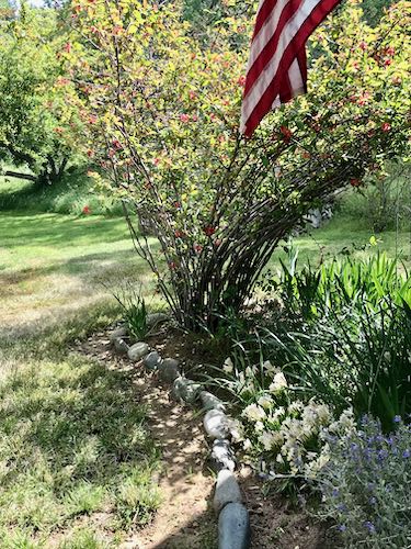
I didn’t listen to music or podcasts. I just pulled weeds, pruned plants, dug holes, and planted new things, all while thinking only about gardening, not about problems needing a solution. Some of the “experts” on thinking say that relaxing your mind, ending the obsession, “changing channels” gives your brain a chance to come up with answers.
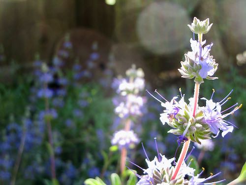
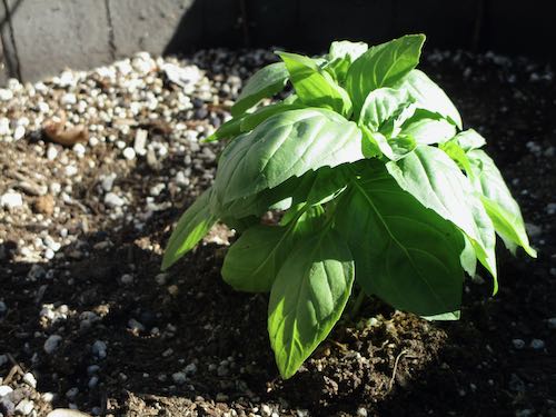
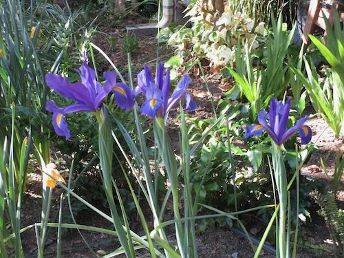
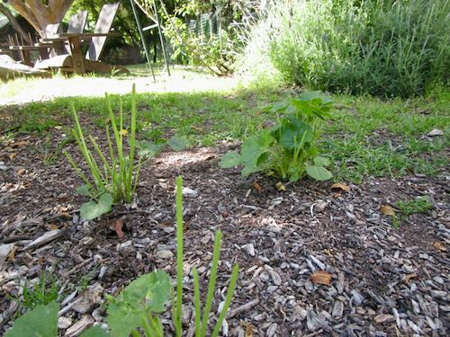
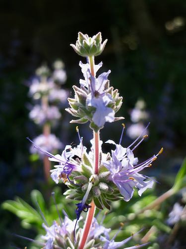
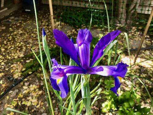
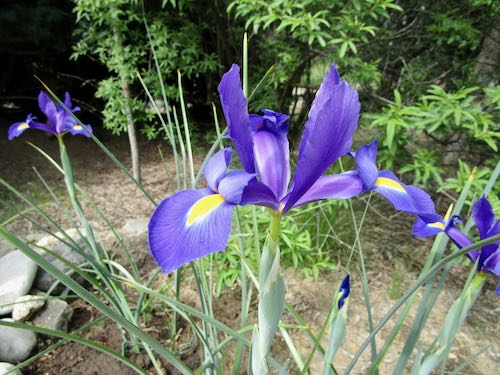
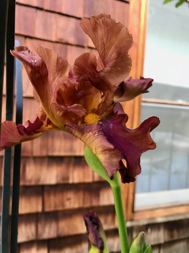
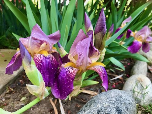
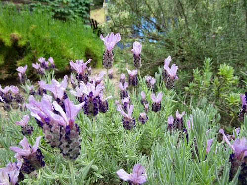
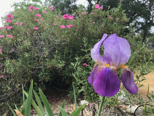
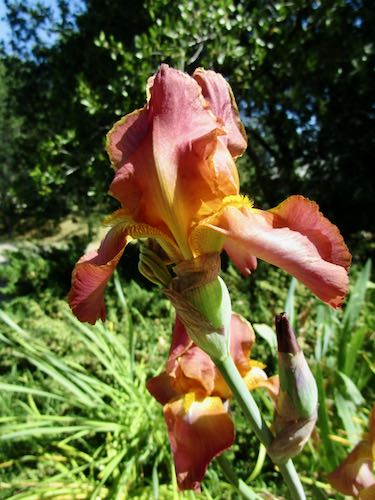
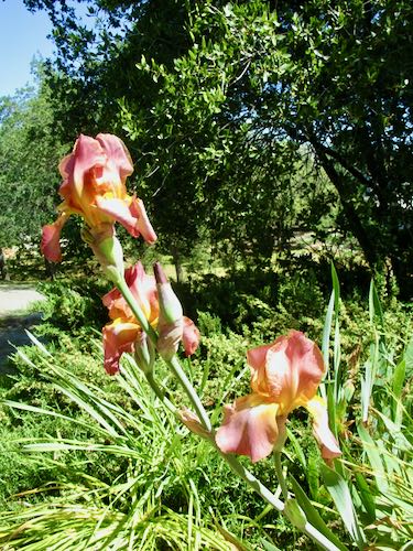
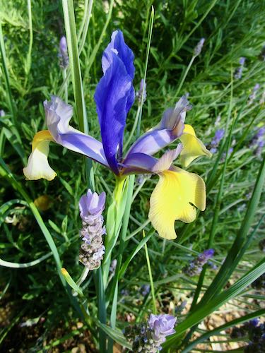
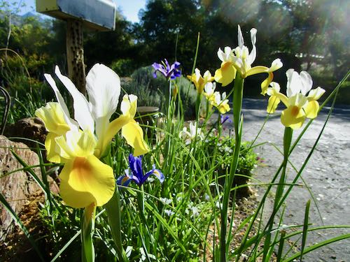
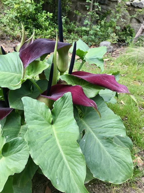
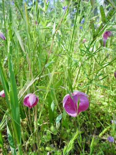
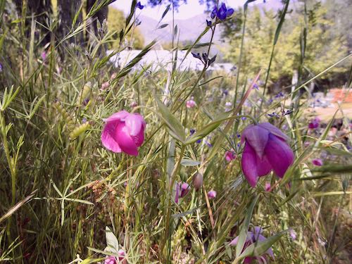
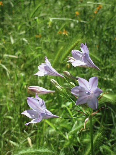
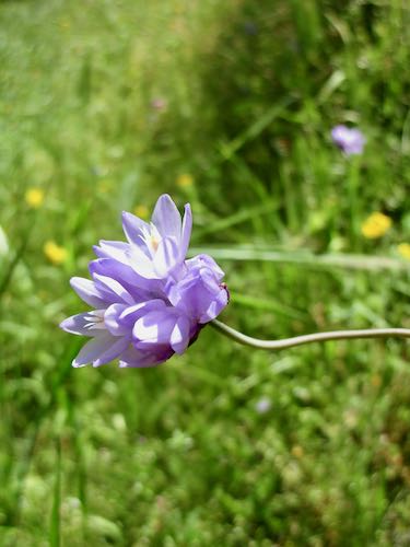
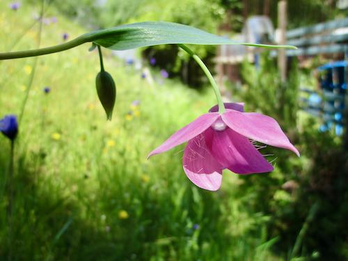
After living here for 24 years, I am finally learning which plants work and where they might be happiest. The difficulty of buying plants cannot be overstated. You can comb through the Sunset Western Garden Book and make a list. None will be at the nursery. You can make a list of plants that have succeeded in the past, and maybe you will find some, and maybe you won’t. You can try to remember the names of the ones that are currently looking good, fail to remember, take a photo using an app called “Picture This”, find a name that doesn’t match, show the photo to a nursery employee, and get steered toward something else. If the thought occurs to you, “I’ve never killed one of those before”, then maybe you will choose that. Of course, you could also think, “The deer in my yard might like that one”, and then you have another decision to make.
At the end of the day, I had no answers, one mosquito bite, 2 dirty hands, and many new plants to remember to water and guard from deer, gopher, bird, and bug attacks.
All in all, it was a very good day. Maybe in time I will figure out a few new paths through my tricky situations.

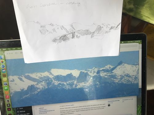


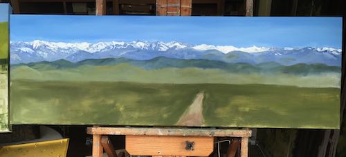


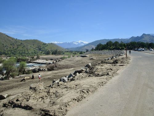
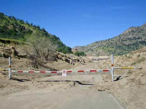
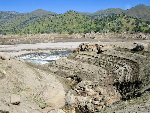
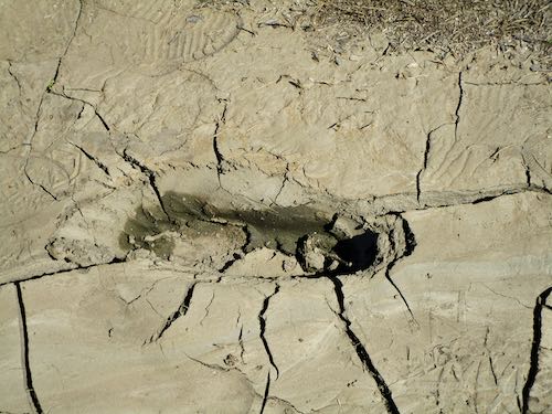
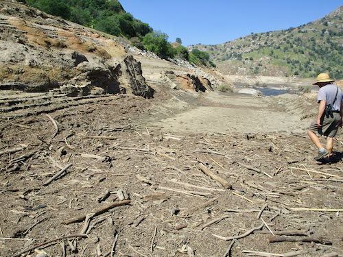
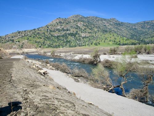
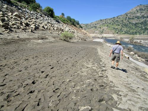
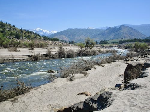
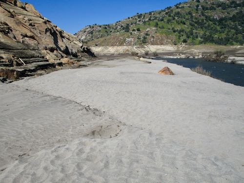
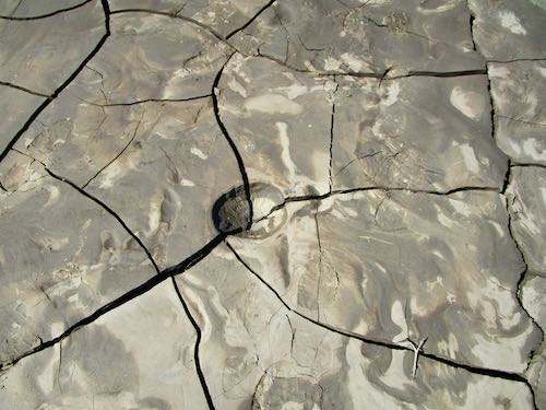
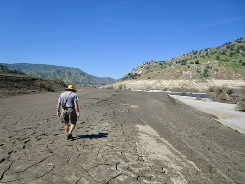
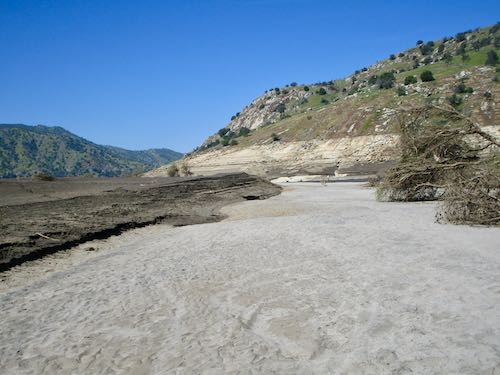
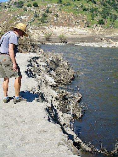
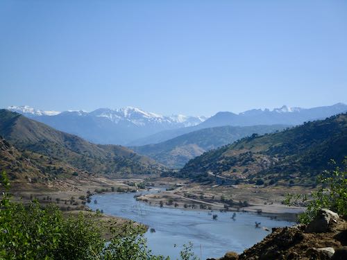 You may recall that there was some serious rain this winter in Three Rivers. I was fascinated by all the rushing water and posted a few times about it in March.