Since 1994, I’ve been teaching people how to draw. Private lessons, group lessons with individualized help, and workshops. My drawing students are wonderful people, and I am so proud of them!
We don’t meet in December, so students try to get their work finished by the end of November. Some do, some don’t. Some need to finish by Christmas, so I’ve had them come to my studio for help. I’ve gone to their homes to help when we are off during summer, and I’ve had students scan or photograph their work and send it to me for help. They are wonderful people and I love helping them.
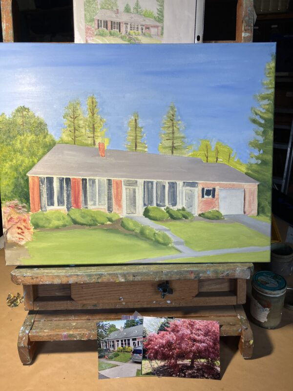
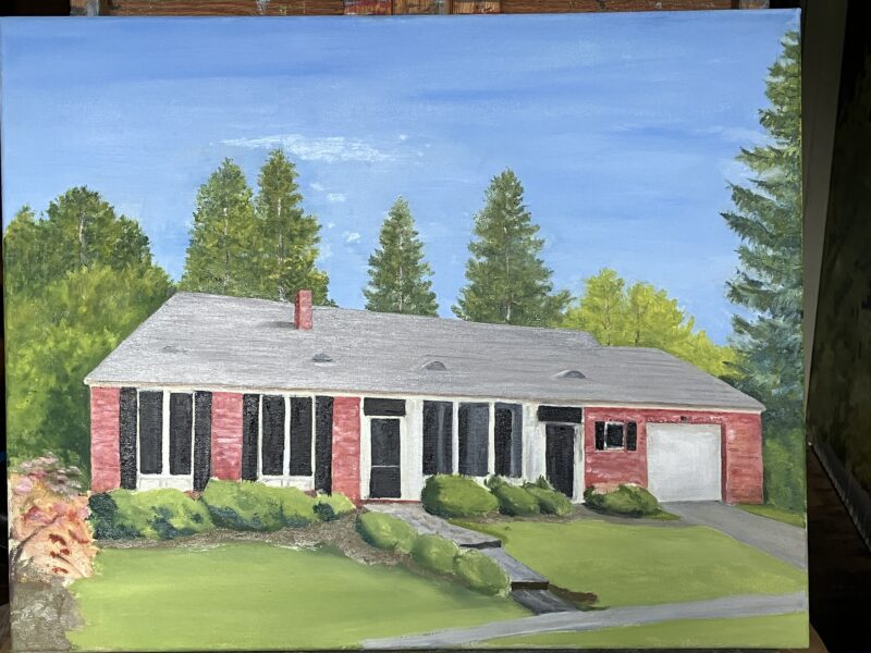
Obviously, this is a very experienced student. She came to me initially because she was a watercolorist who wanted more realism in her paintings. After a few graphite drawings, she moved into colored pencil. That was about 20 years ago!

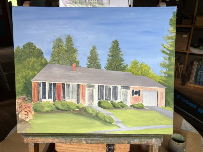
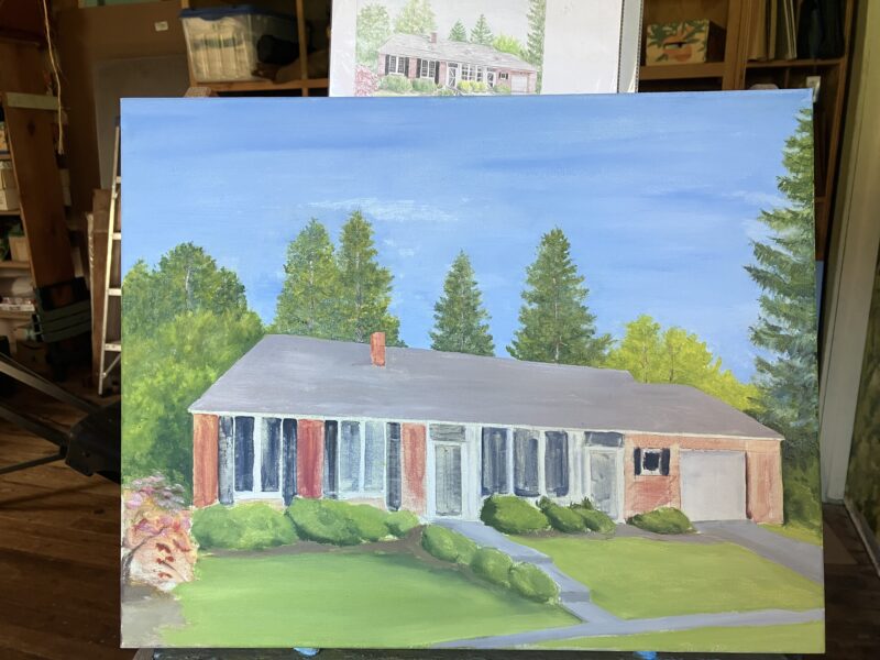
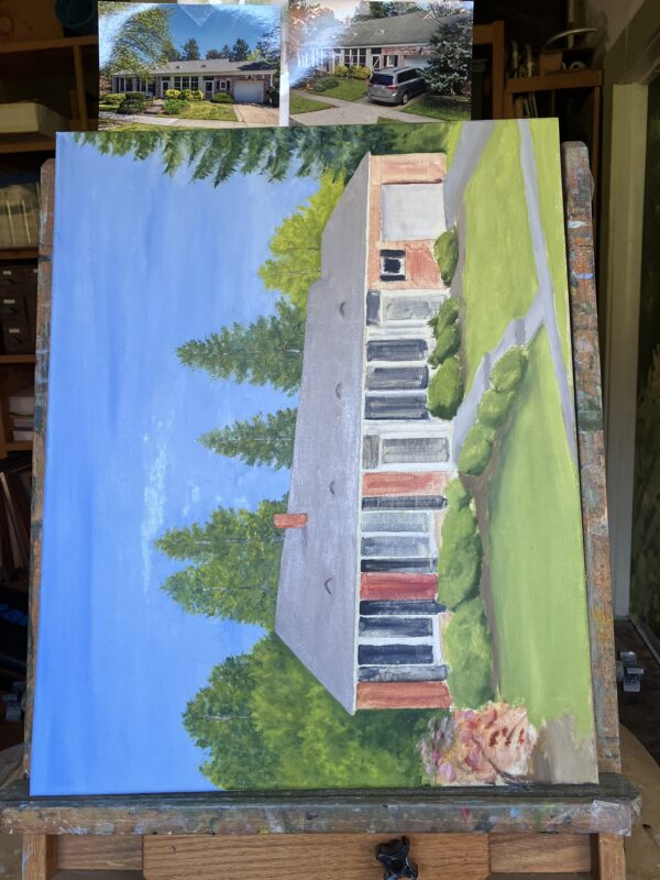
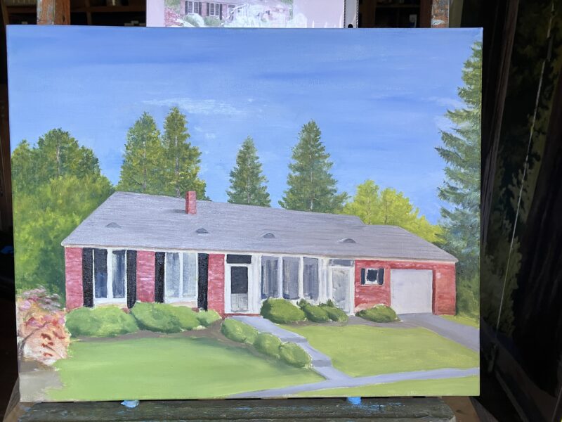
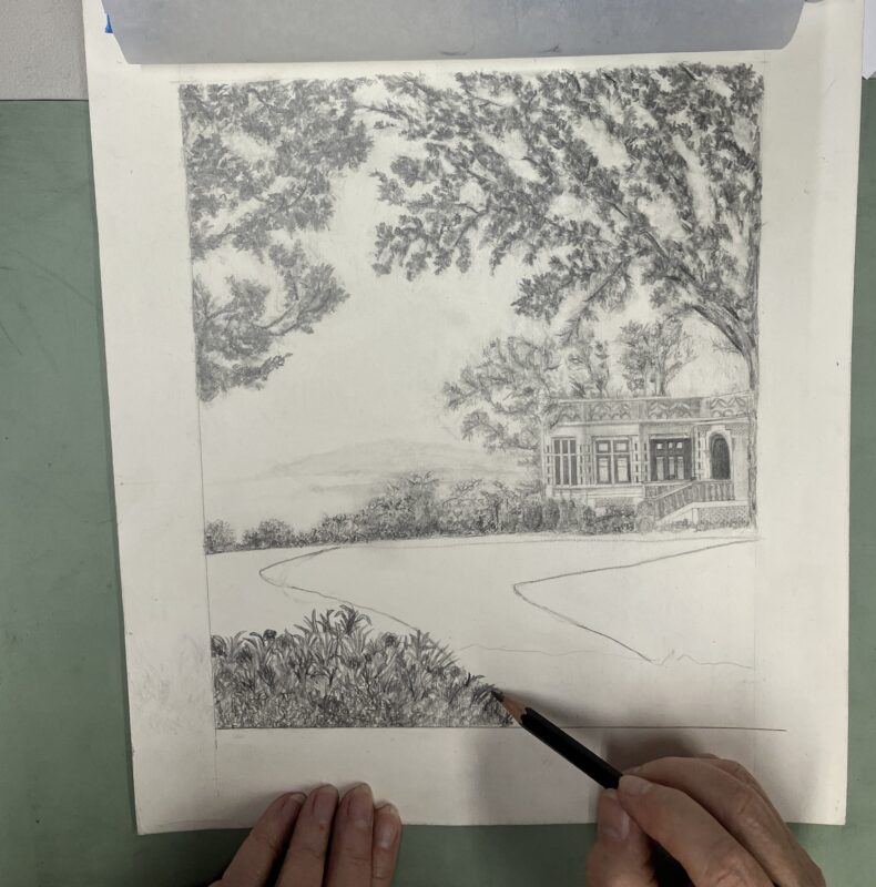
This student picks Very Hard Very Detailed photos to work with, and she NEVER gives up! If we weren’t lifetime friends, I’d be sure that she just chooses these subjects to test my ability!
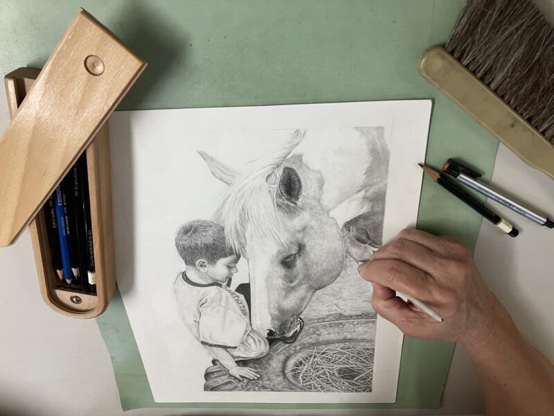
This student fights with perfectionism. Perfectionism is winning, for sure! She is never in a hurry and thoroughly enjoys the process. Every so often she will announce that she isn’t going to take quite so long or strive quite so hard for perfection. It makes us laugh.
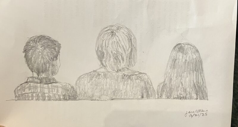
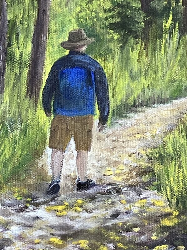
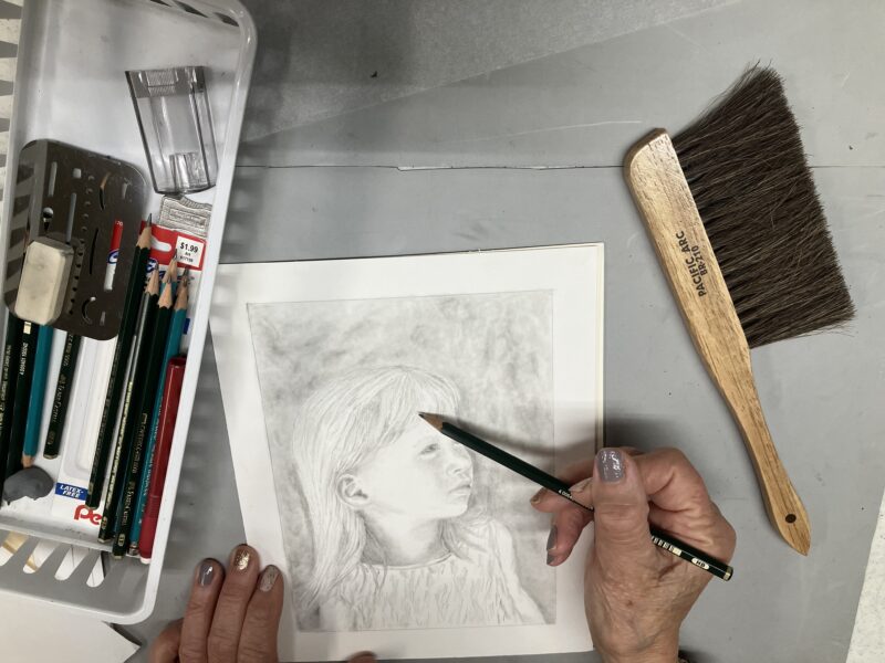
This is work by my newest student. She joined lessons to learn how to paint better. Drawing is the basis for all art, and if you learn to see things realistically and learn the “tricks” of drawing, your other art will improve. This is her second or maybe 3rd drawing with me; I think she is close to finished with this perfect little face (yes, she has captured a likeness!)
I have room in a couple of classes, and if enough people (four) want lessons and can come from 1-2 p.m. on Tuesday afternoons, I will add another class.
Did I mention that my students are wonderful people?
You can see the work of two other students on this post from early November.
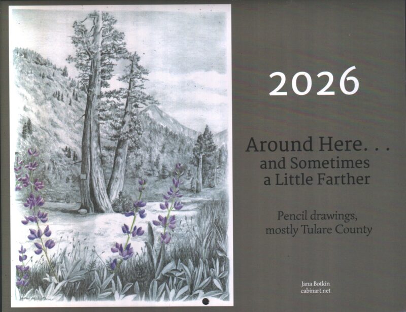
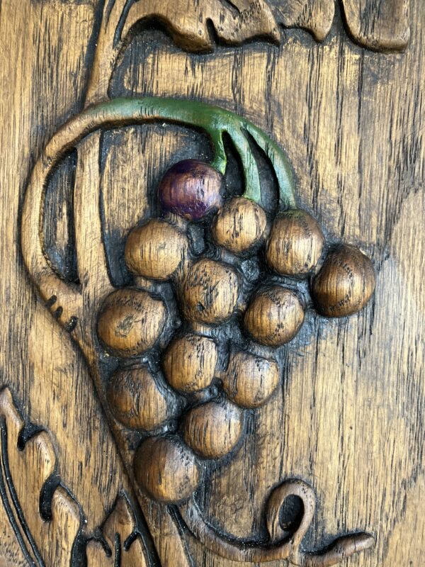
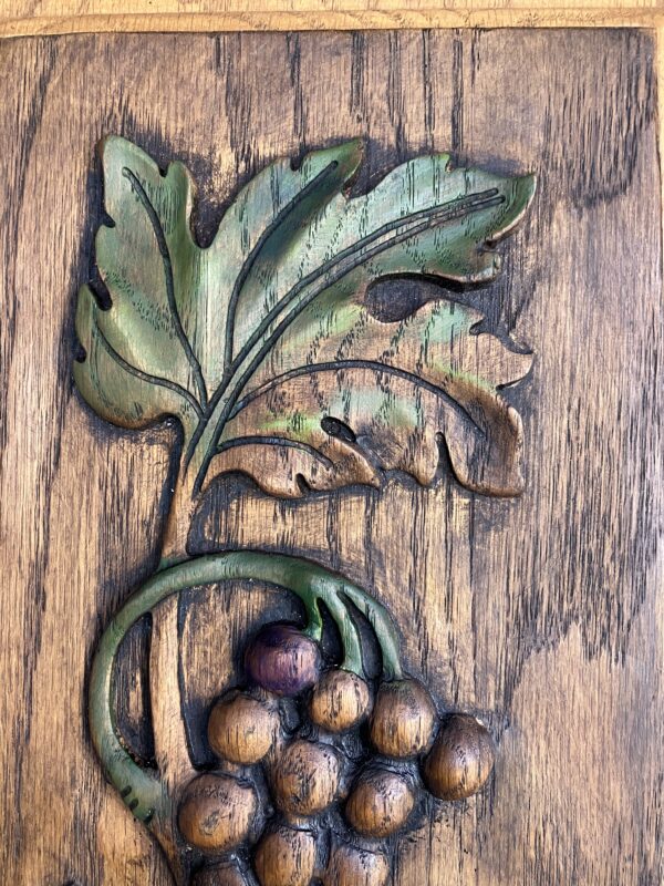
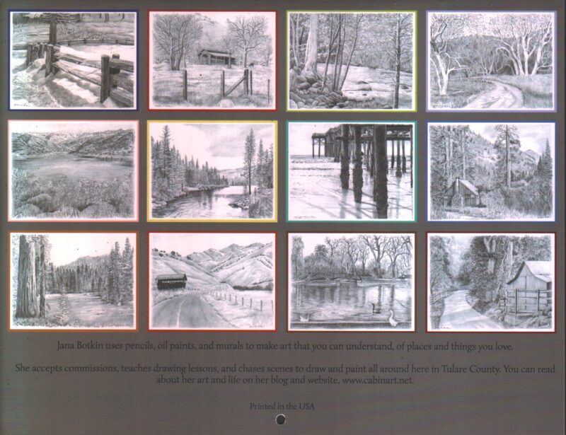
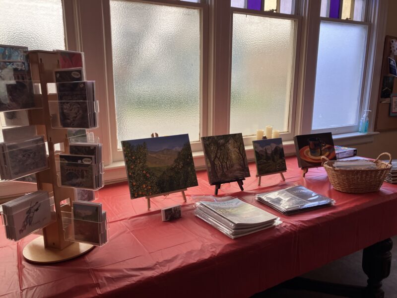
Calendars available here, $25, includes shipping.