“Commission” means someone is paying me to paint custom art for him. Them. Her. Shhhh, I think it will be a Christmas present.
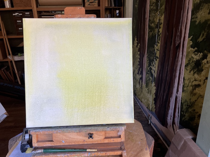
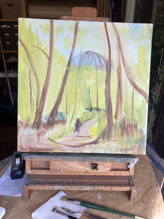
Let’s call the customer Mister. You can decide if it is a man, a woman, or several humans. Mister decided on 20×20”, a square format. The canvas arrived, and I put a very thin coat of paint on it.
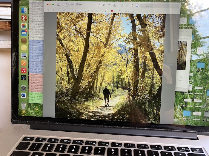
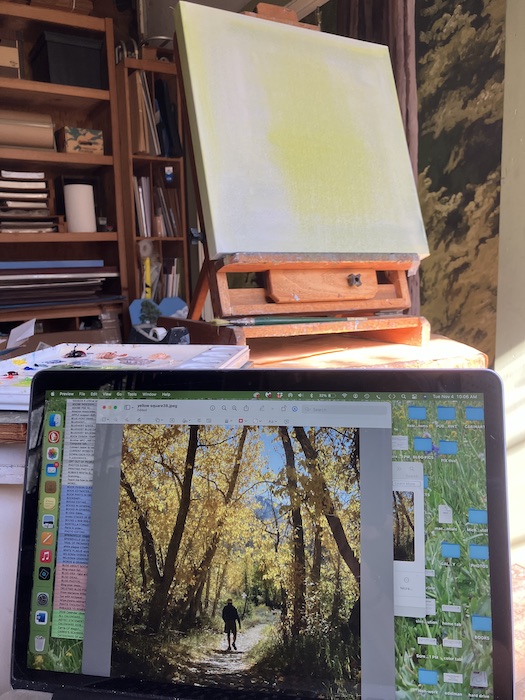
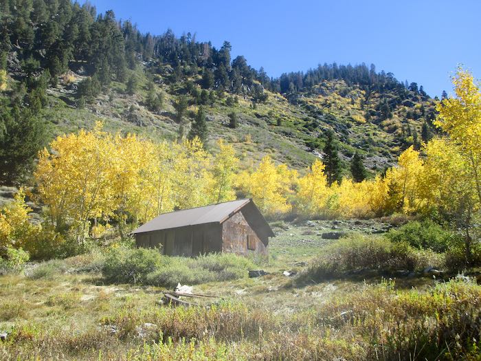
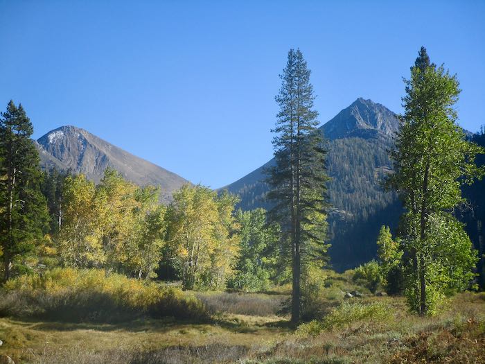
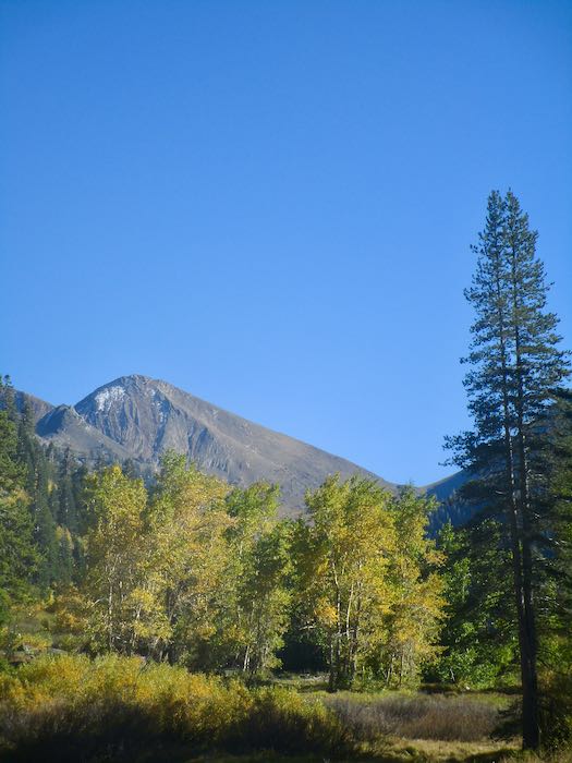
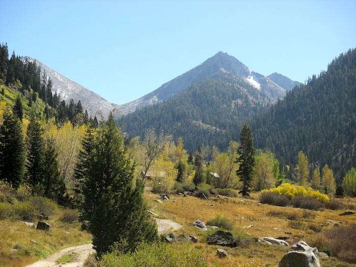
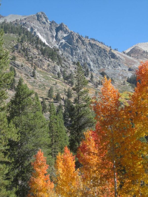
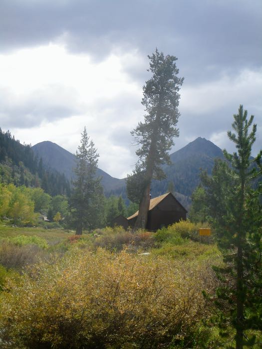
This is the version of the requested scene. Yes, it is Mineral King, and that is Trail Guy for size reference.
No wonder my laptop gets splatters on the screen.
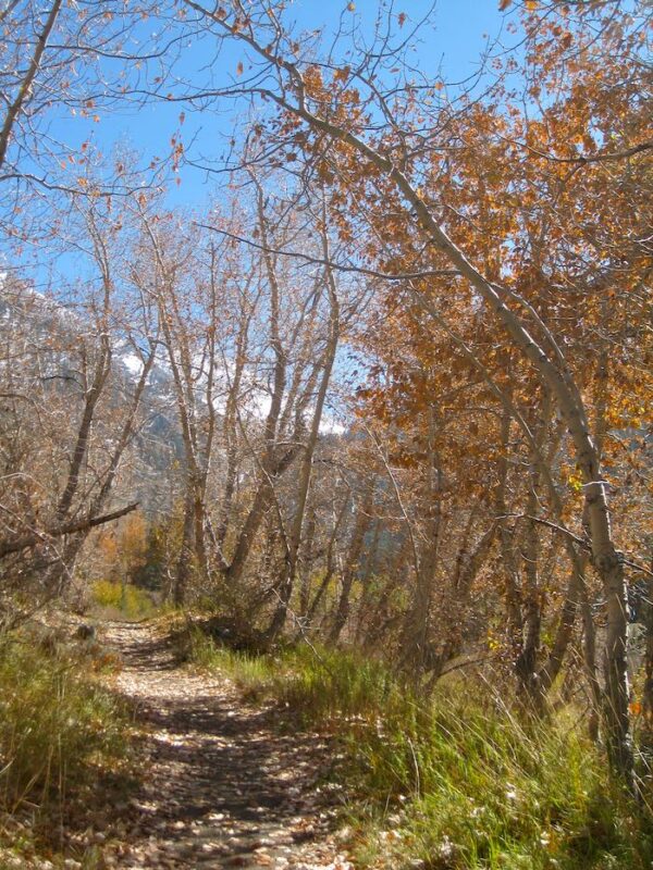
Here is the beginning. The photo says “Yellow Tunnel” but Mister is requesting the tunnel to be green.
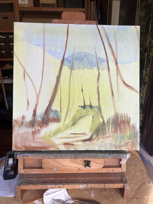
That’s as far as I got. When it dries, I’ll put in a better sky and a better West Florence (that’s the peak on the left side of Farewell Gap.)
In case you are curious, I painted the tunnel in the green season several years ago. (If it feels like three years, it was probably six.)
Heh-heh, it was actually just five years ago. I think I paint better now. Sure hope so, otherwise I am One Stuck Central California artist. Gotta keep improving. . . always. And don’t give me this “your own worst critic” stuff either, because if I’m not, how will I get better?
And that’s all I’ve got to say about that. For now.
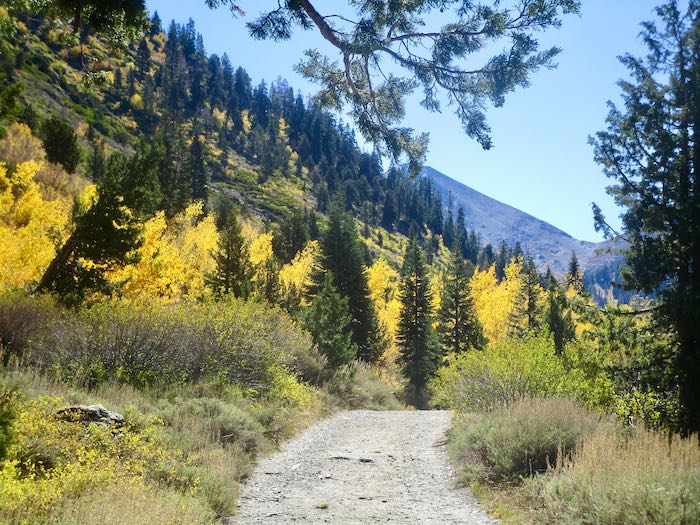
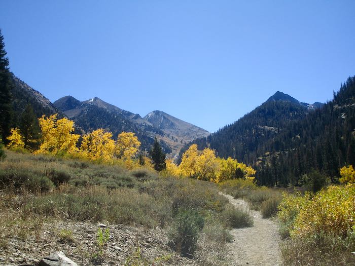
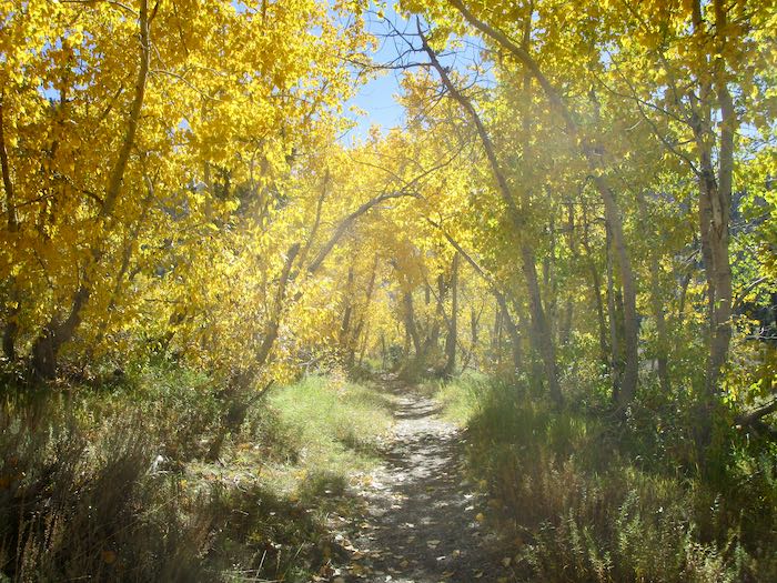
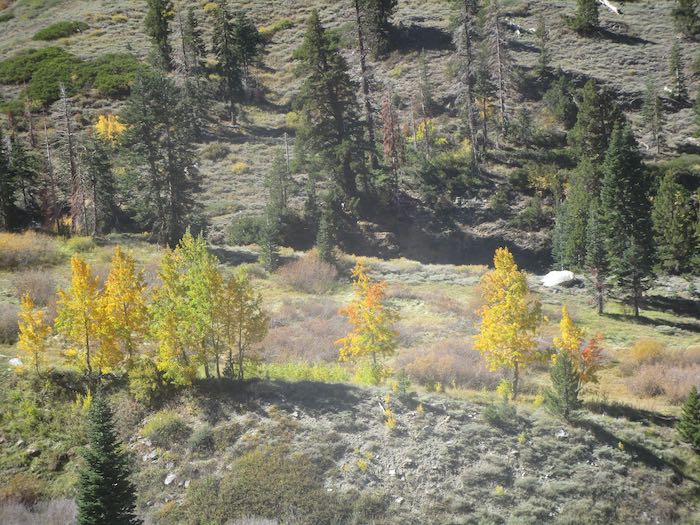
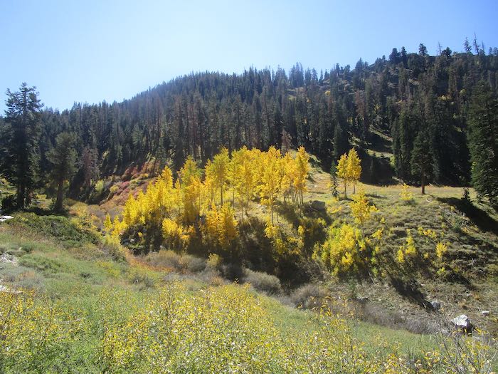
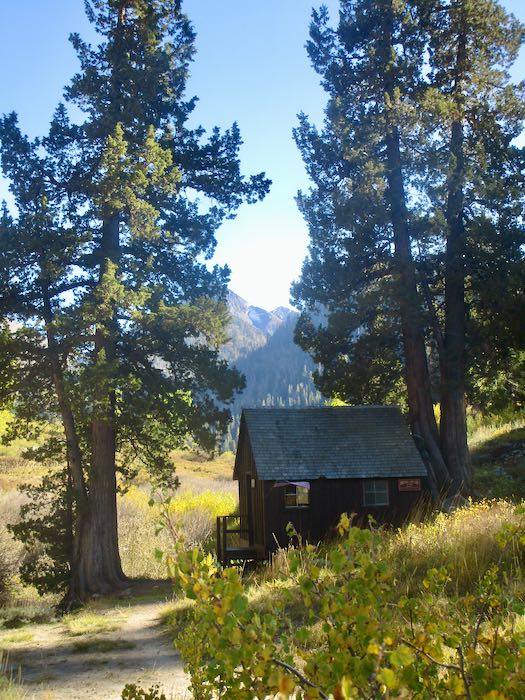
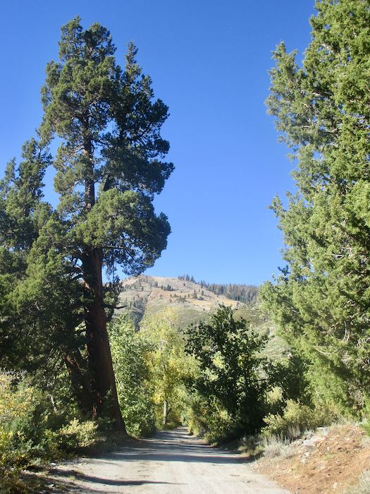
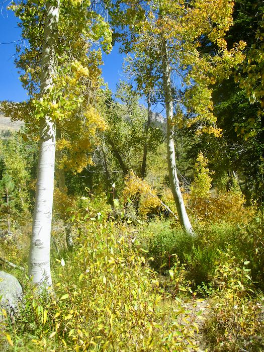
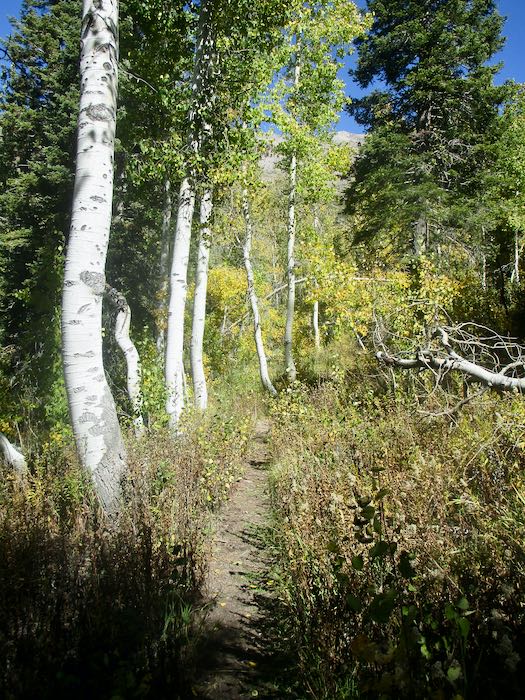
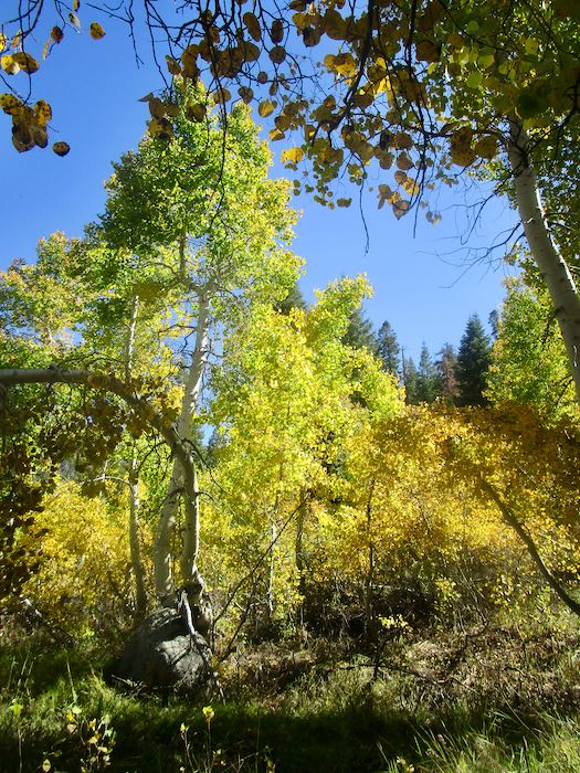
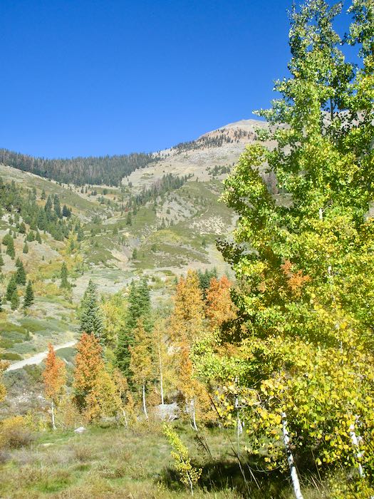
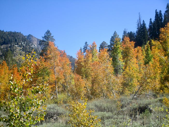
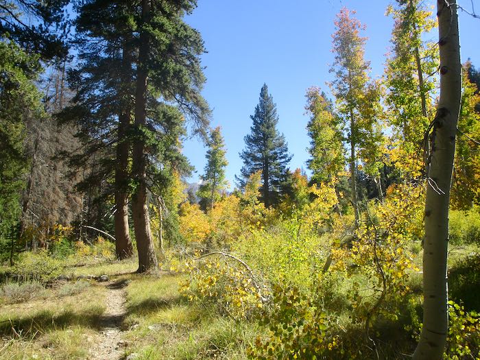
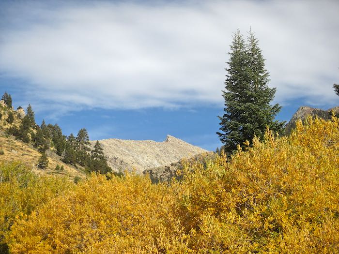
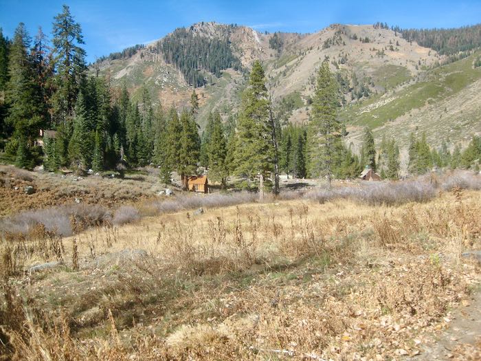
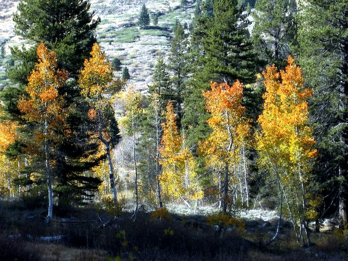
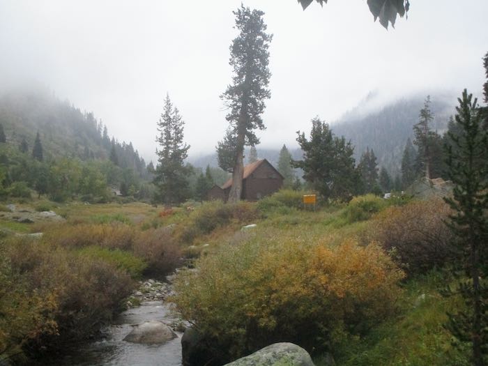
We went walking up the Mineral King valley in search of brilliant fall color. This was easy to find, so many yellows, but of course we wanted oranges and reds too.
The cottonwoods are yellow; it is the aspen which turn orange and red, so for stronger colors one must walk farther up the trail than rather just hanging out near the pack station.
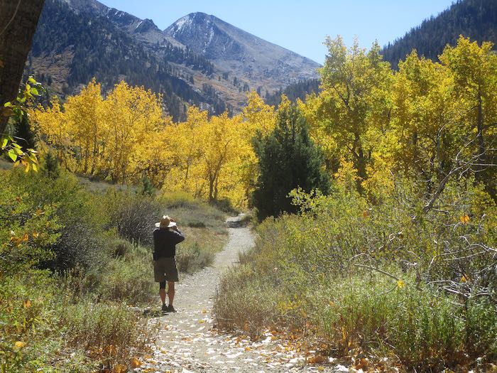
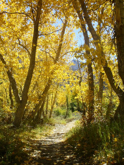
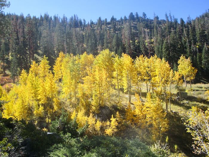
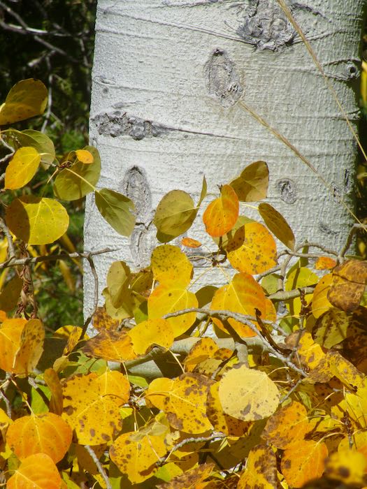
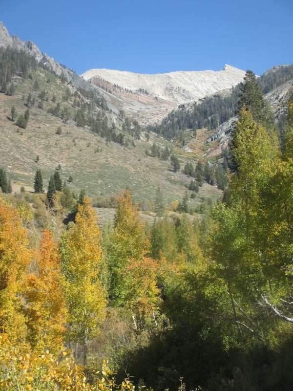
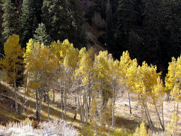
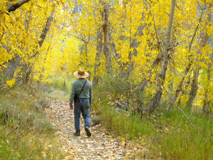
We call this the Yellow Tunnel.
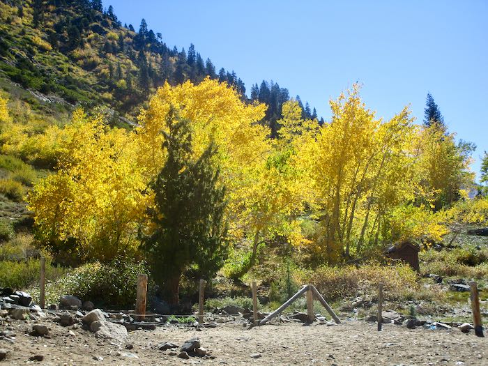
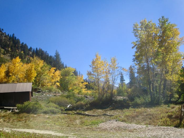
The cottonwoods look so faded when viewed from the other side.
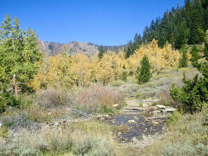
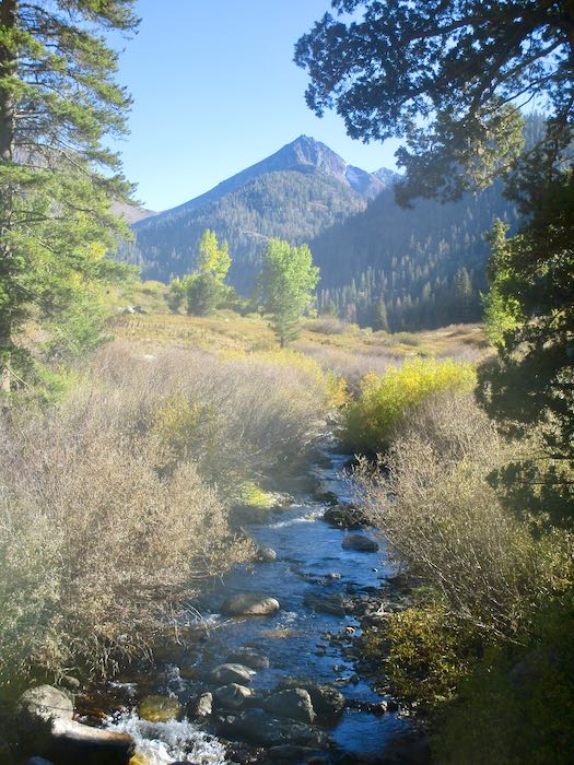
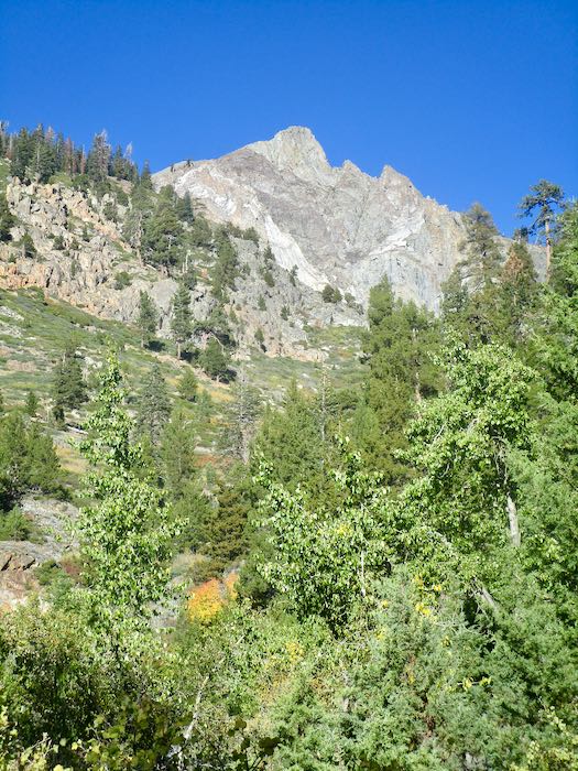
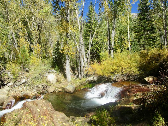
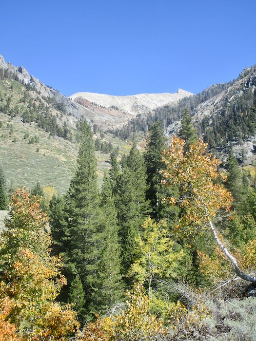
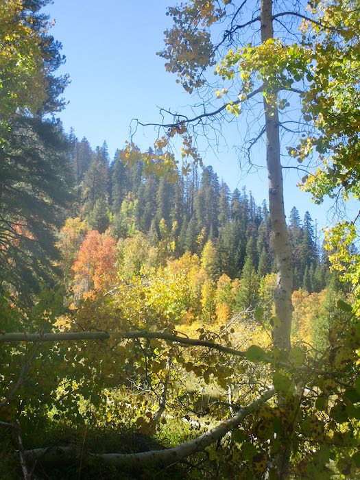
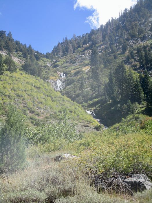
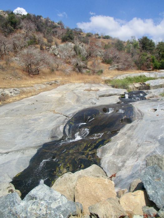
Crystal Creek is still flowing. The colors are very subtle looking up the ravine.
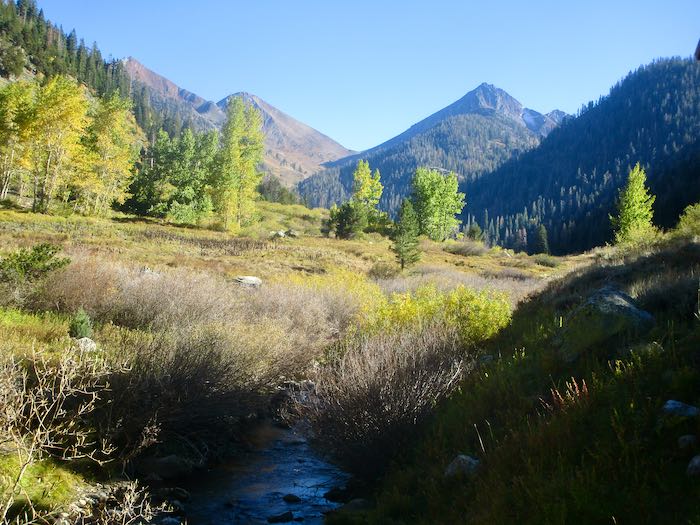
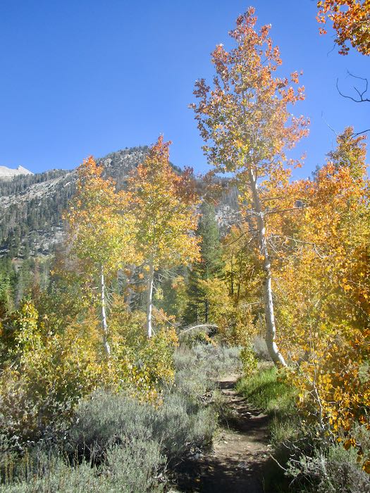
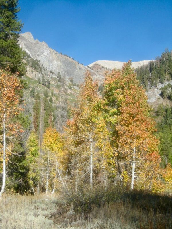
We spotted some orange through the cottonwoods, so Hiking Buddy and I continued on up the trail while the men turned back to begin tackling the chores of cabin closing. Not only do they close our cabins, they also close cabins for neighbors and are responsible for the water system for our little neighborhood, which they take very seriously.
That orange turned out to be a little disappointing. It was only the very edges of these few trees. (You might have to squint to see it here.)
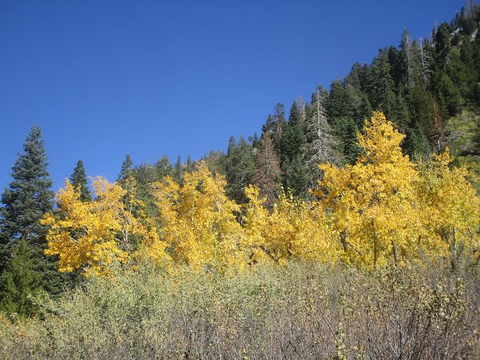
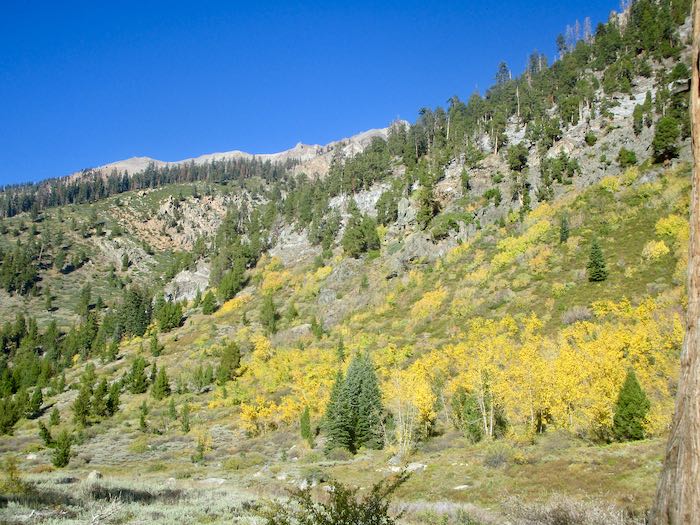
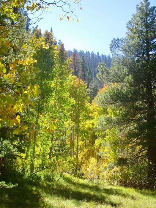
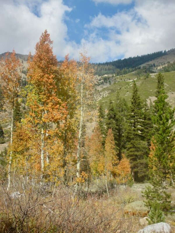
But these trees were electric!
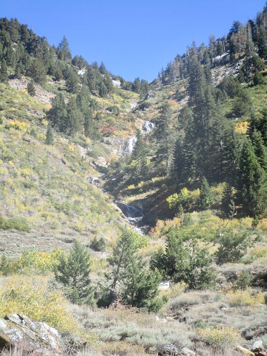
Franklin Creek was so tame, especially compared to my August adventure with K.
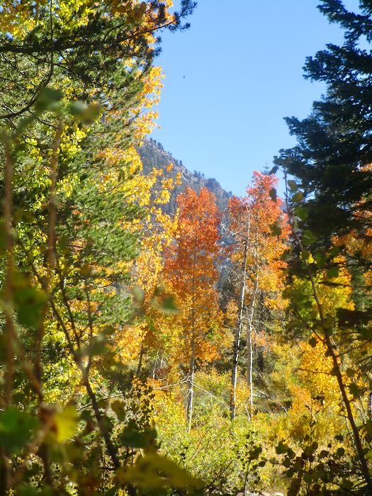
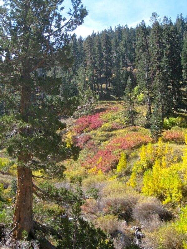
Each year in the fall I am determined to learn what shrub turns red. In the summer when it is green, I don’t notice it and don’t remember my annual autumnal intention.
Somewhere over there is where K and I were scrambling through the rain, cold, and hail to find our way home. We knew where we were going but not our exact route.
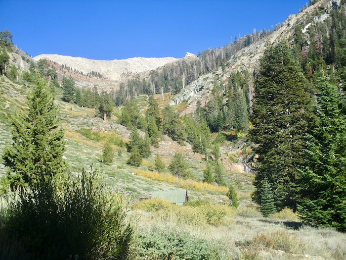
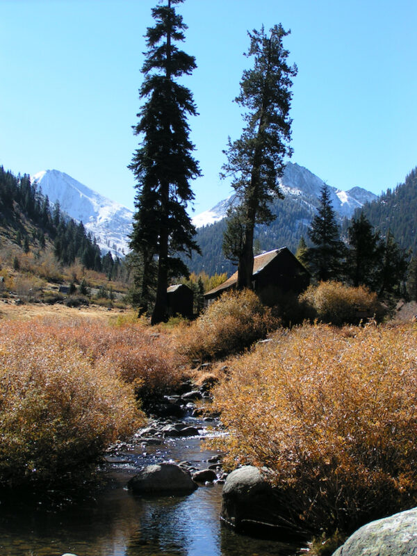
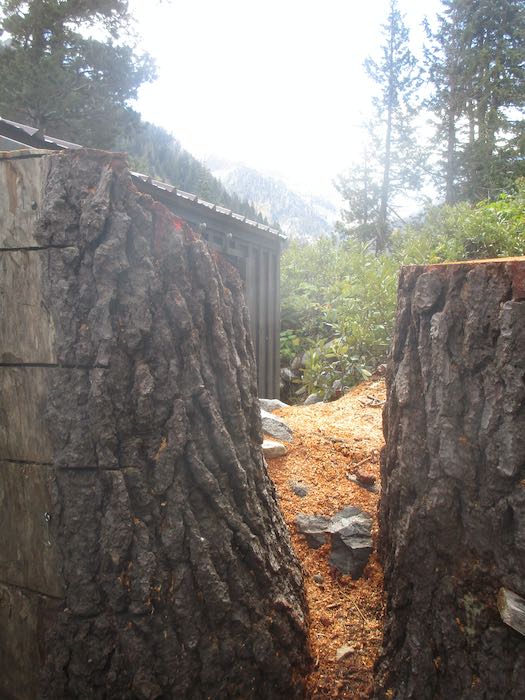
One last look at the Park’s packing shed.
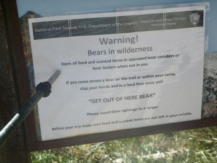
WHAT? How did I miss this piece of brilliant advice all summer??
What I want to know is this: will a bear leave if I simply shout “BEAT IT, BOZO!” or do I have to say “GET OUT OF HERE BEAR!”? Who taught the bears to obey this command?
The next day was closing day. It was very cold, low 40s while we completed our chores and buttoned it all up for the season.
This is how it looked back toward Mineral King from partway down the road. Snow was expected up there. We closed in the nick of time. (Who is this “nick”?
Just for fun, this is the scenic spot where we stopped for some lunch on the way home.
It is always a bittersweet time. While we believe that summer goes way too fast, it is always a relief to be home, to stop driving that wretched road, to be able to go to church on the weekends, to keep up with emails and texts, to not be continually living in flux with duffle bags in plain sight, and to not worry/wonder about the water system or bear break-ins (in both locations.) Besides, we miss our cats.
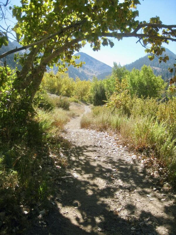
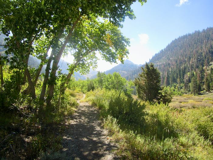
If you read my posts last week, you saw the variety of fall color in Mineral King from year to year. This week I will show you all 2025, mid-October. Not much chit-chat, just some photos. Today is a walk up the Nature Trail, which originates at the upper end of Cold Springs campground.
The trees weren’t all brilliant yellow, but it was a brilliant clear sunny afternoon.
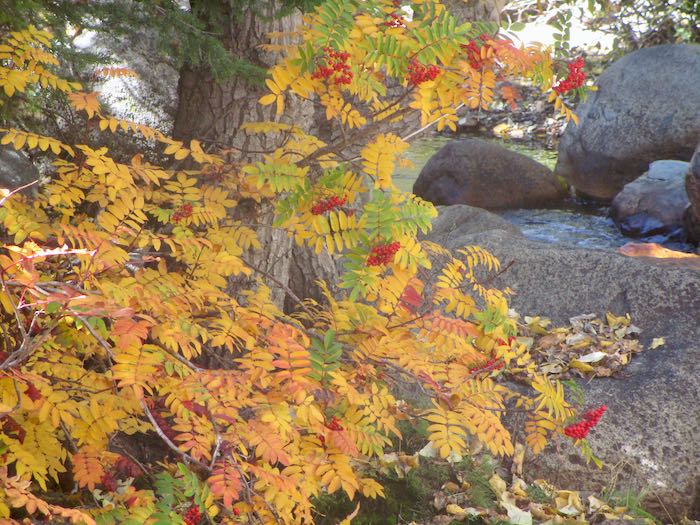
I don’t know what this shrub/tree is nor if the berries are edible. This is the only place I’ve ever noticed this in Mineral King. This just in: Greene’s Mountain Ash—THANK YOU, GC AND PICTURETHIS!
The photos from Friday and these photos today were all taken within the first 2 weeks of October each year. I just arbitrarily grabbed different ones from my very extensive photo collection (34,000? maybe 36,000 now?) so you can see the variety from year to year.
I did not choose my very best or think about an equal distribution of scenes. Instead, this is just a random selection to give you a sense of the inconsistency from autumn to autumn.
2013
2014
2015
2016
2017
2018
2019
2020
2021
2022
2023
2024 (after the fire – we were evacuated on Labor Day)
I stayed home last weekend. Our cabin is a summer residence in a summer place, and I am very ready to be home for awhile. So, I went through my photo archives, and today’s post will be random October photos of Mineral King from past years.
2007
2008
2009
2010
2011
2012
That was interesting. Let’s do a few more next week.
The weekend began with a surprise visit by a childhood friend. I knew she might be coming in the fall, but so many people tell me their potential visit dates that I don’t even try to keep track. That meant it was a wonderful surprise, and I got to spend an hour or so with her and her offspring. Since this is the World Wide Web, and because I want to experience and value life even when it isn’t documented and publicized, I took no photos (except for asking her daughter to take one of us together, which I HOPE her mom will send to me!)
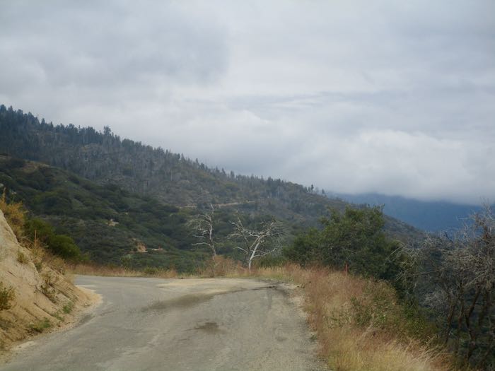
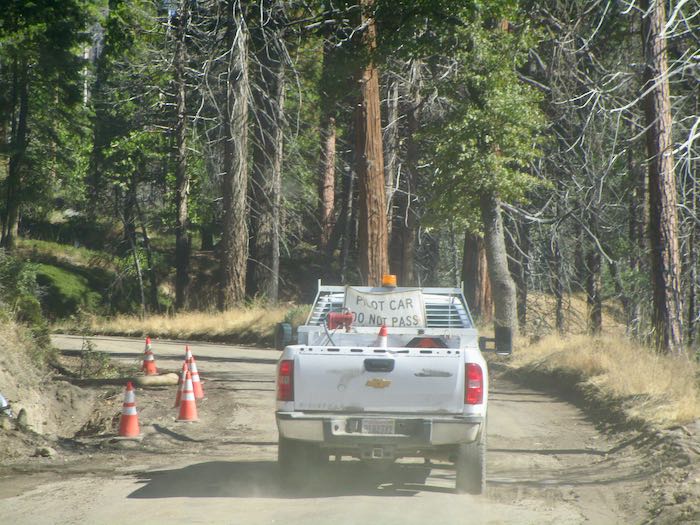
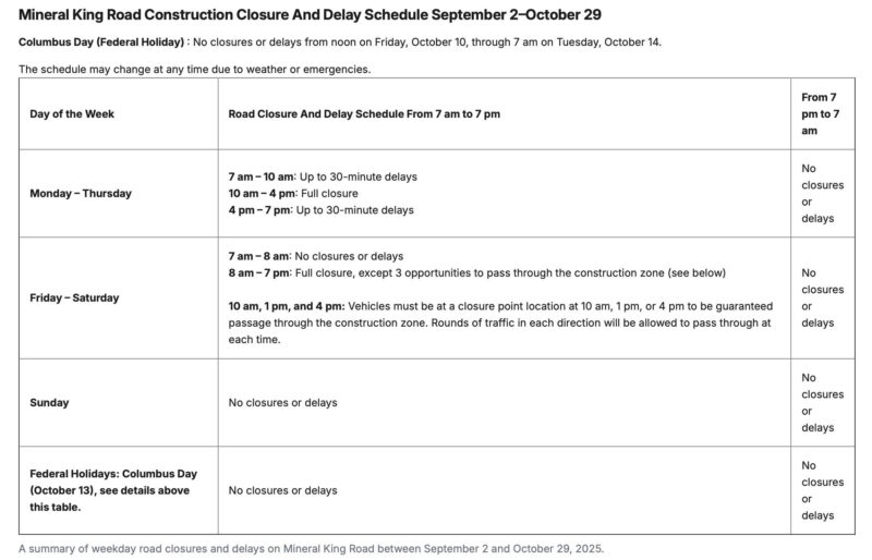
The road construction continues. We waited just below Wolverton Point for about 45 minutes for the 10 o’clock pilot car shuttle which we followed to Silver City. SEE THE NEW SCHEDULE BELOW.
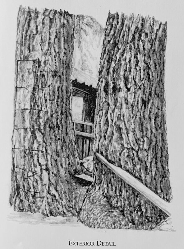
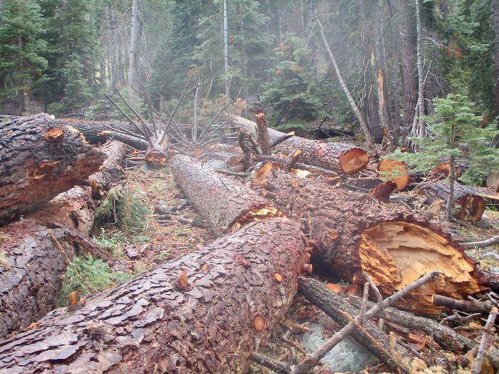
A neighboring cabin had 8-10 hazard trees threatening their place. We went snooping, and all is safe now (but the cabin is exposed), and there is a boatload of downed wood, a real mess. Here is how part of it looked as drawn for The Cabins of Mineral King and how it looks now in real life.
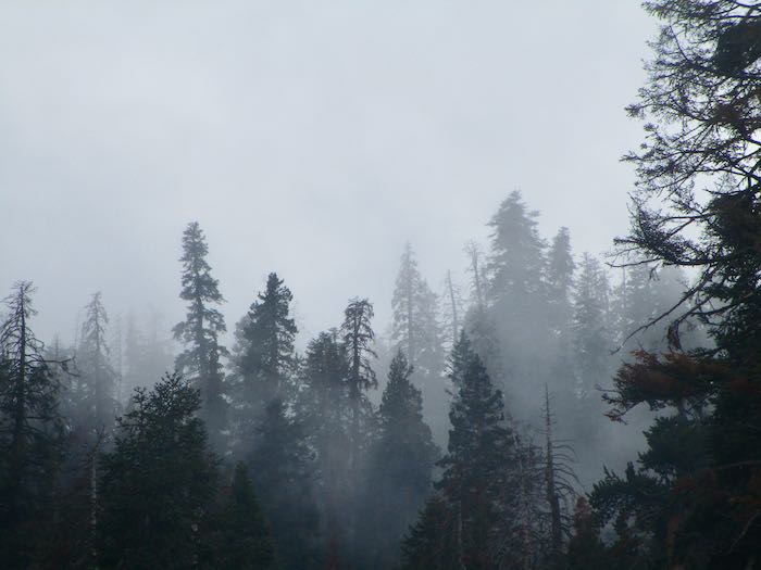
It rained several times and was overcast. We did not hike. People who live in Mineral King just hang out sometimes. Instead of being on vacation, we are simply experiencing cabin life.
We thoroughly enjoyed the warmth from the wood stove, trying but not succeeding to keep a fire going all day. That stove wants feeding fairly often. I would have split more wood, but we kept covering the woodstack due to the rain.
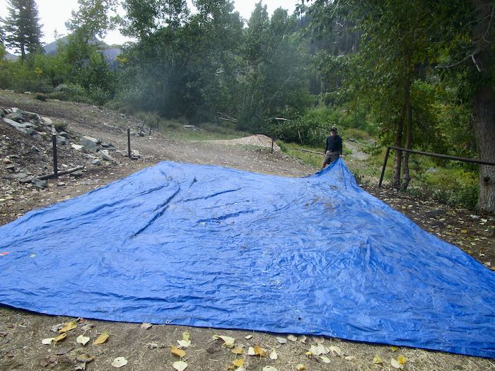
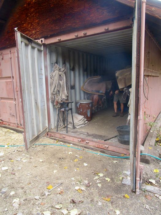
We walked to the pack station and found an enormous tarp all wadded up, and the stock was gone. Couldn’t just waste that tarp, because chances are we paid for it with our tax dollars. So we folded it up and then put it in the storage container.
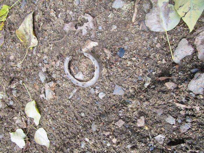
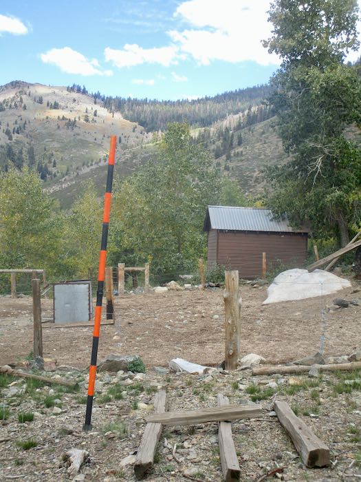
I saw this trimmed mule hoof on the ground, and the snow stake is now installed for viewing on the winter webcam.
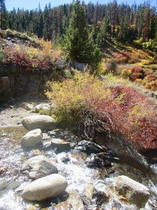
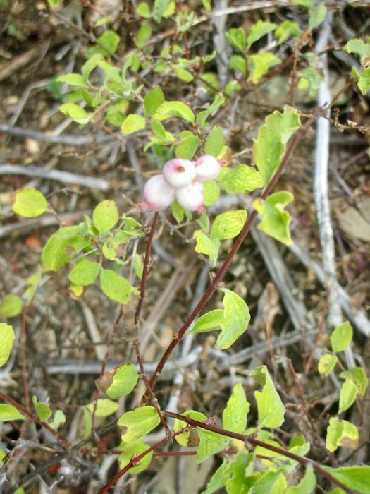
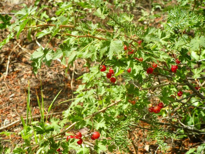
Berries are ripe in the fall. Don’t eat the white ones. Trail Guy loves the red ones, Wax Currant.
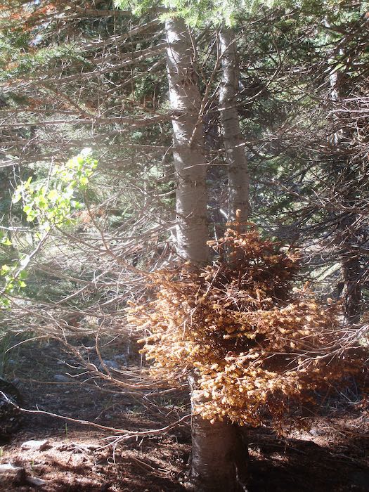
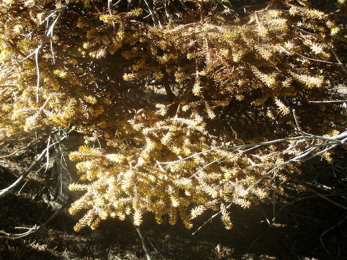
There is a specific type of mistletoe which grows in red fir trees. It is weird stuff.
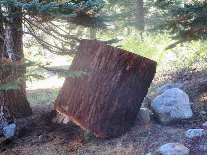
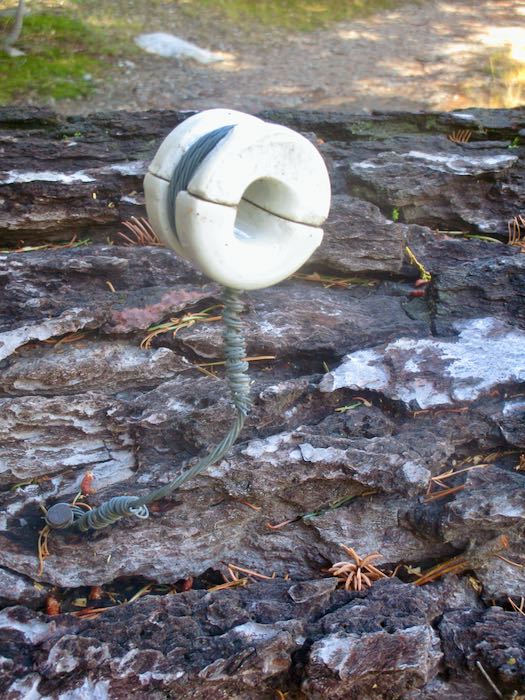
Look at these two huge chunks of the red fir that got dropped a few weeks ago. They got randomly placed in our neighborhood after being moved from the road. One has a thing attached that had something to do with phone lines. I didn’t photograph the messes from the dropped trees, but know I will be dragging brush and sawing limbs for a long time coming.
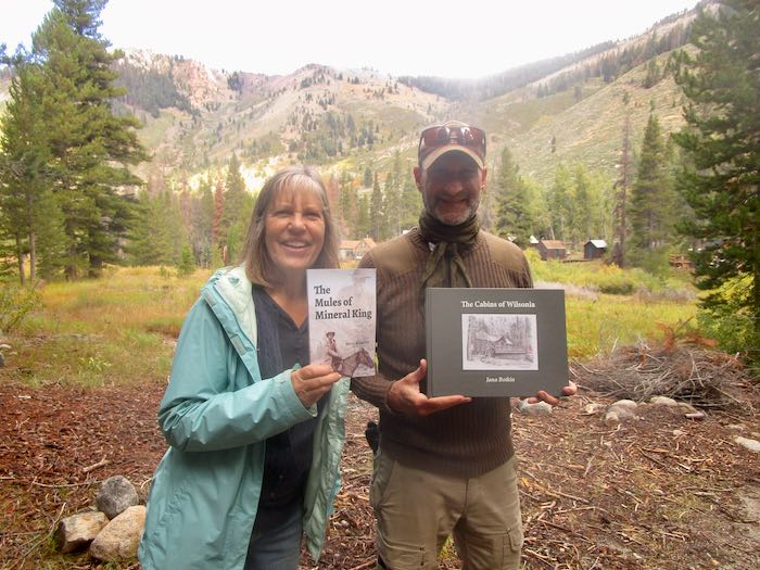
Now, the funnest of the fun things: I FINALLY* met Kevin Alltucker, author of The Mules of Mineral King, a book that I told you about back in August. He graciously accepted a gift of my Wilsonia book, and then his brother said that he (the brother) is one of my tens of blog readers. This gave me the idea to do this dorky photo (me dorky-looking, clearly too thrilled to think about posing better or controlling my grin) and remind you all who like Mineral King to BUY THE BOOK! It is so well-written. It was also fun to talk about the logistics of writing, publishing and (not) marketing one’s own books with a fellow self-published author.
The Mules of Mineral King is available through Riverfeet Press, (also at that big online store which begins with A and takes a large bite out of an author’s profits.)
A recent weekend in Mineral King in photos with commentary, as usual, from your Central California artist.
The hazard tree crew returned to our neighborhood.
We had rain, both up and down the hill. It was overcast for a day or so after the rain. I wonder if this would make a good pencil drawing.
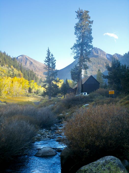
The classic view from the bridge, with Farewell Gap obstructed by the clouds.
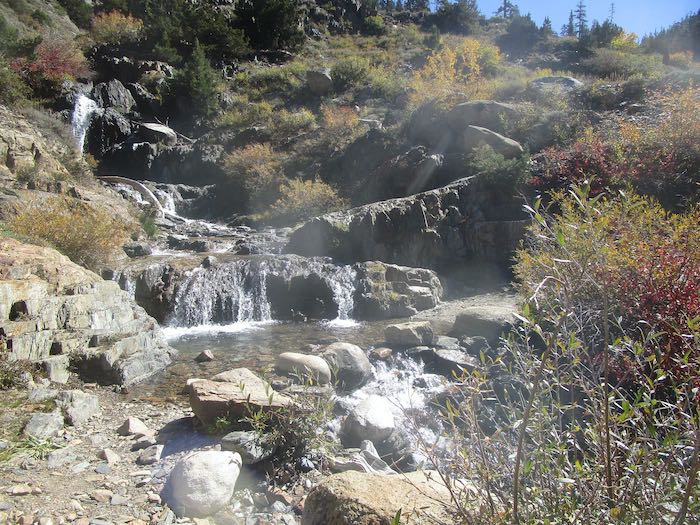
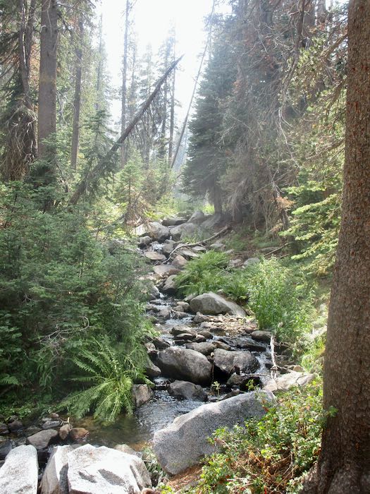
The sun shone the next day, so Hiking Buddy, K, and I walked to Soda Springs.
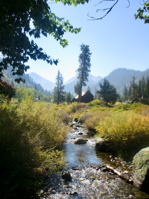
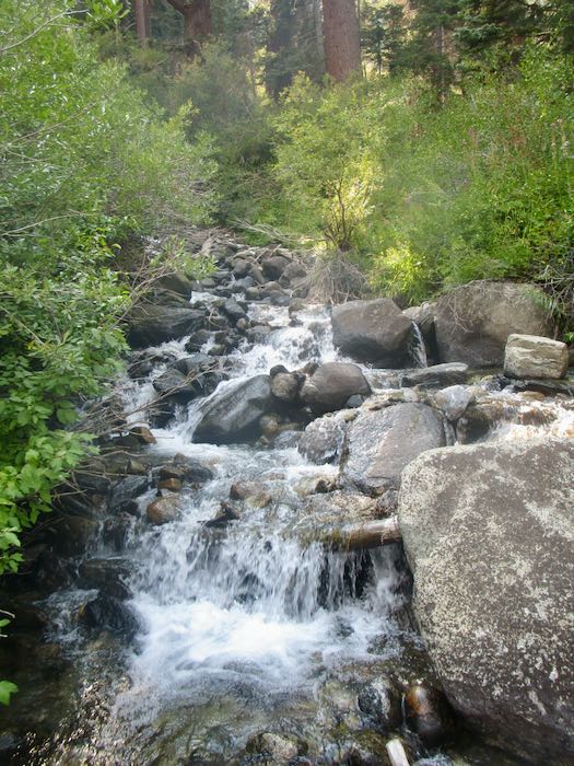
Crystal Creek is still running.
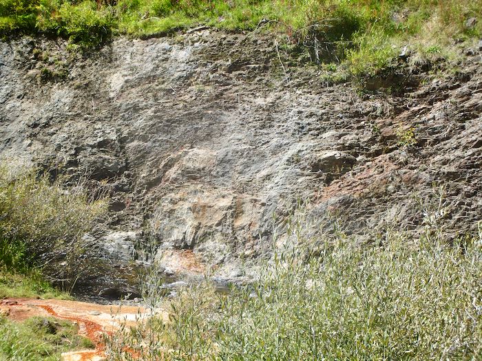
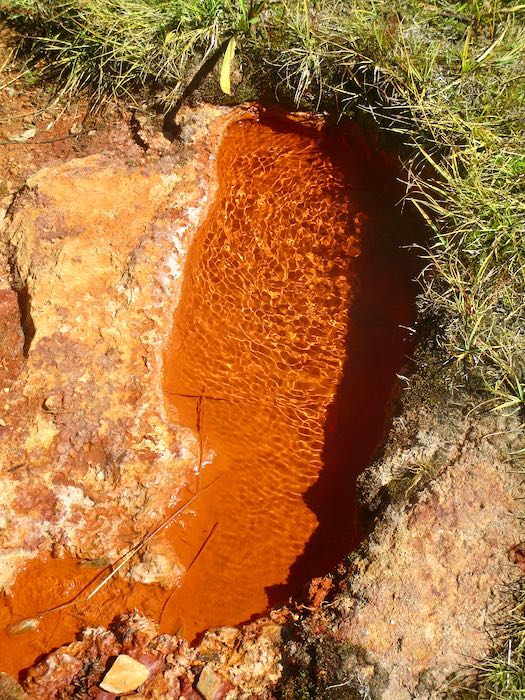
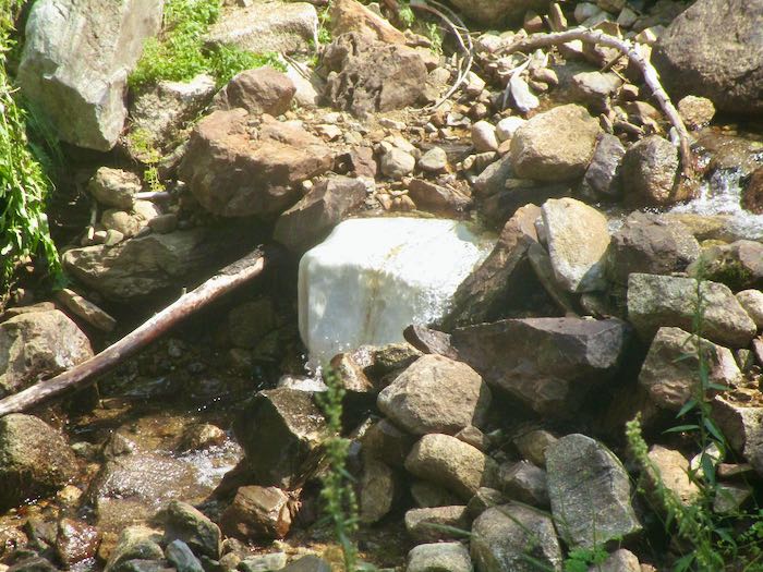
See the orange? That’s where Soda Springs runs down into the creek.
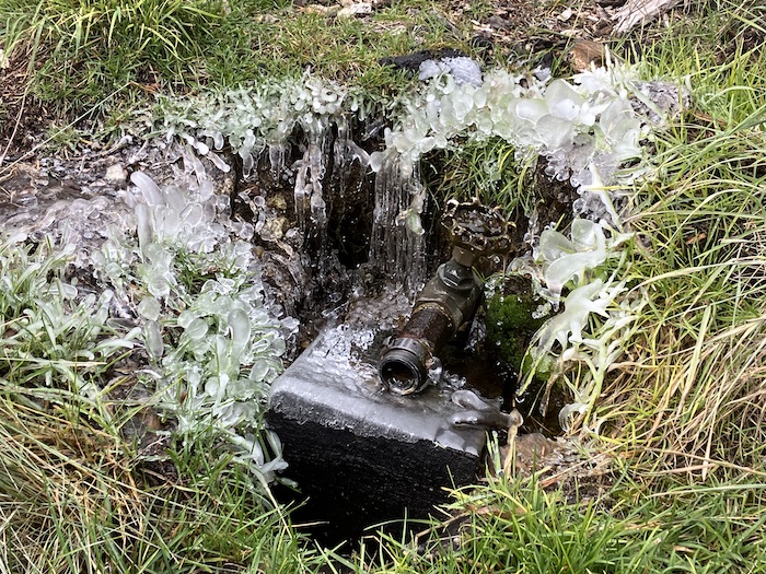
It bubbles out of the ground.
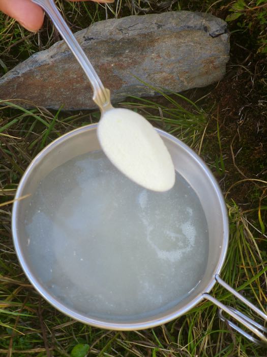
Many cabin folks have a tradition of adding lemonade powder to the water, swearing that it is fizzy and delicious. It tastes like metal to me, reminding me of the drinking fountains at church camp as a kid. Ick, no thanks. K is very traditional, complete with a Sierra cup hanging on her daypack.
Here is the classic view in sunshine.
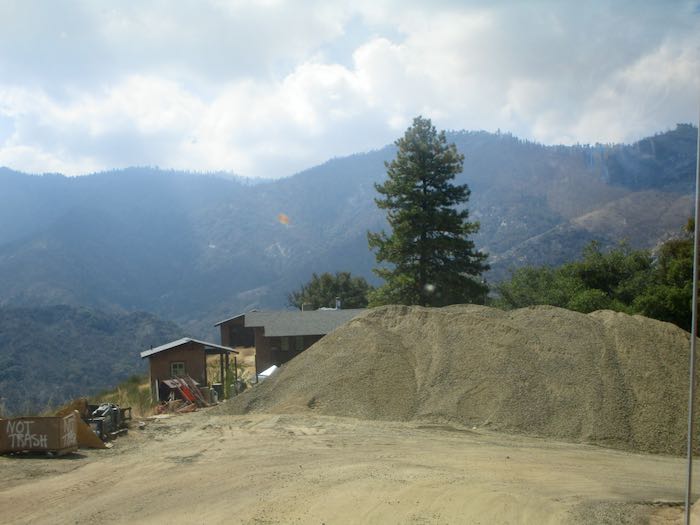
On the drive home, we were amazed by the ENORMOUS pile of road base collecting at Lookout Point for the ongoing road construction project.
Finally, here are The Potholes, still running steady and strong in September. My theory is that all the trees which used to take up water above this stream (called Squirrel Creek) burned up, so there is more water to continue flowing throughout the season.
And thus we conclude another tour of Mineral King. I’ll get back to work next week.
Labor Day weekend was a great time to just hang out with neighbors. We had dinners together, hiked together, did projects together, and just enjoyed these multi-generational friendships. Since I try to protect privacy on the World Wide Web, I’ll only show you photos that don’t include people.
Hmmm, a taco truck in the parking lot?
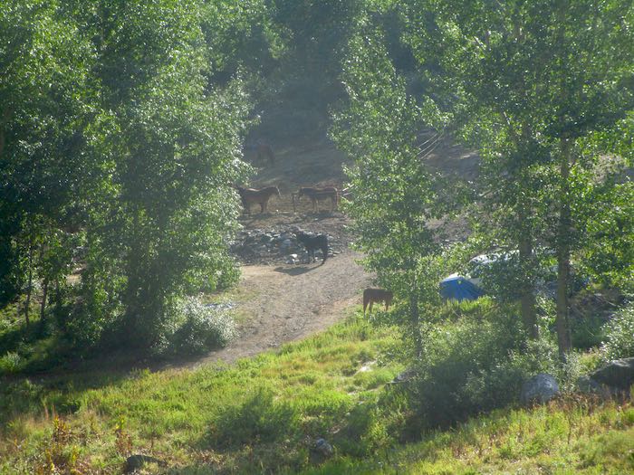
The Park’s stock almost always has one or two head outside the corrals. Since they aren’t worried about it, we don’t worry about it either.
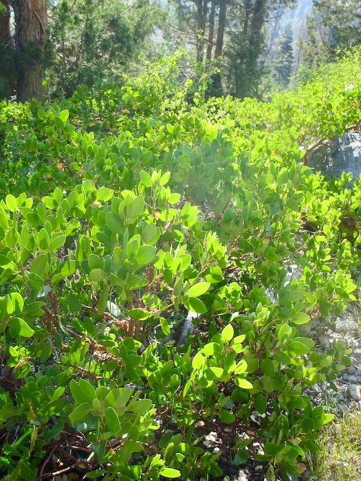
Sunlight through the manzanita along a trail just stopped me in my steps due to the intensity of the greens and the light. It’s always the light.
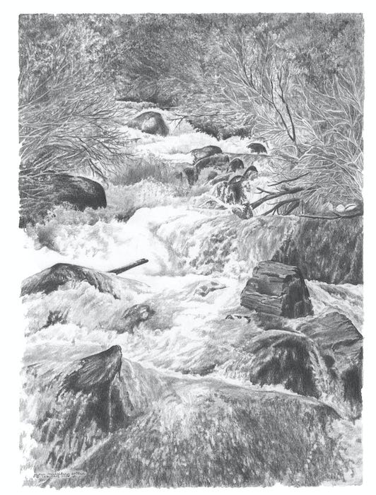
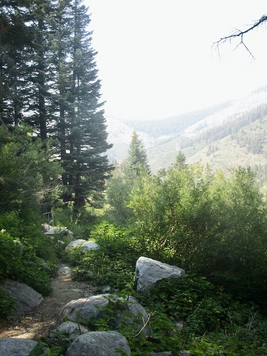
I’m always thankful for the Spring Creek footbridge and the steady flow of water there. This was the first flowing water I drew in pencil (obviously earlier in the season), and it was so difficult that I titled it “Hard Water”.
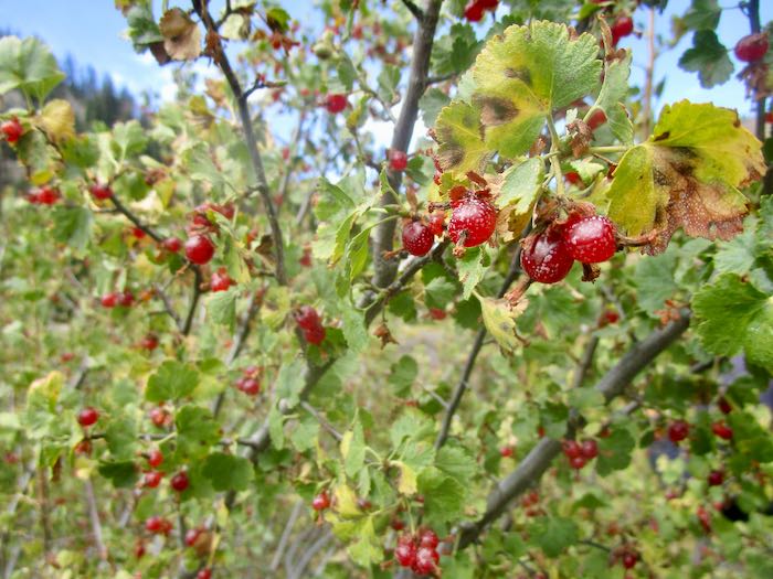
Currants are ripe at the end of summer. There are two types: wax currant—no thorns, Trail Guy thinks they taste like cinnamon, and I tried unsuccessfully to turn them into juice for jelly making a few years ago; Sierra currant—thorns, and much stronger flavor with both tartness and sweetness.
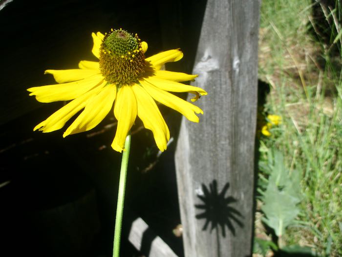
Coneflowers bloom toward the end of summer, and there are two places where I count on seeing them. This year was not a disappointment!
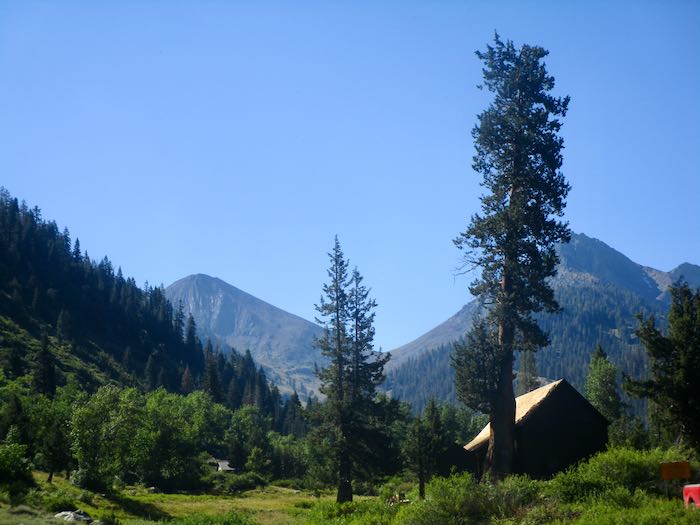
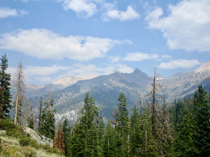
If you squint, you can sort of see the remaining snow on Bearskin, the bowl on the right side of Vandever, the peak on the right side of Farewell Gap. I don’t think it will last until the first snow, but most folks in my circle think it will.
It may be a week or two before I make it back up the hill. The road construction schedule is now more disruptive, (schedule available here) and although the cabin isn’t closed, we are entering a season with more interruptions and responsibilities than during summer. Okay, maybe we just ignored some things, and now it is time to face the music. Sigh.
My adventurous and fearless friend K consented to hike with me and Hiking Buddy, even though we are no where near her level of competence on the trails. It had been years since I’d seen Mosquito Lake, and although I doubted my ability to tolerate foot discomfort that distance, we chose to go in that direction.
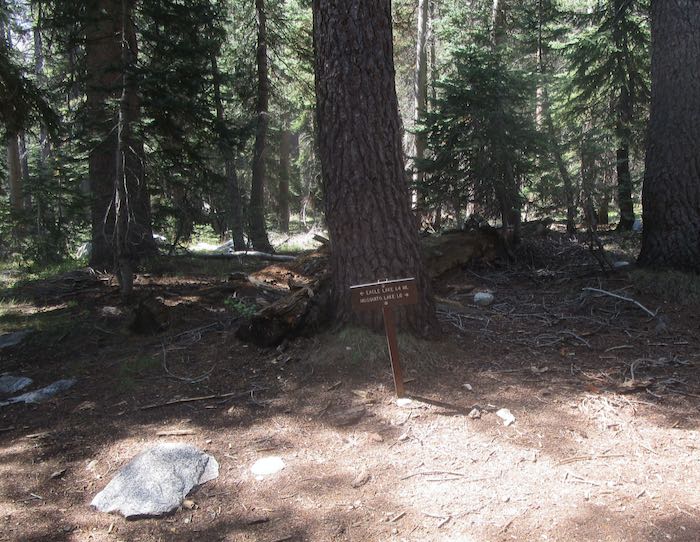
I divided the walk into segments, figuring that at each step, I could re-evaluate. 1. White Chief junction; 2. Hanging meadow; 3. Sink holes; 4. Eagle/Mosquito junction; 5. JUST GO ALL THE WAY! (Never mind that it was another 1.6 miles from the Eagle junction.)
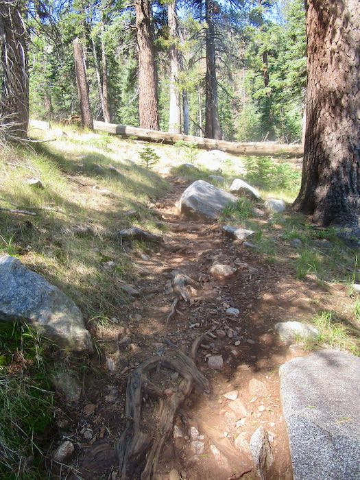
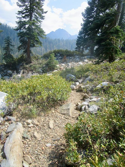
The trail is steep in places, with roots and rocks, so pay attention to your footing!
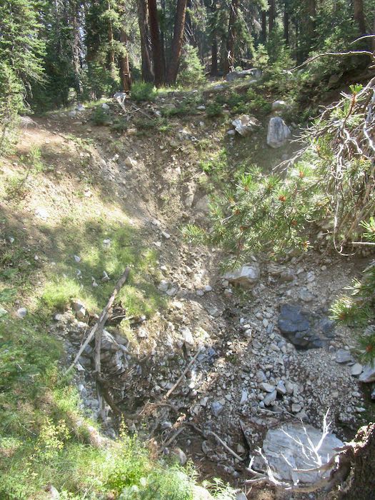
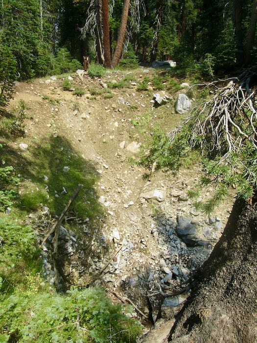
This is one of the sink holes, where the water disappears into the ground. K said the hole has gotten deeper through the 60 years she’s been in Mineral King. The bottom doesn’t show here and there is no specific answer as to where that water reemerges, or if it actually does.
It used to cross the trail and go down into a different hole on the other side of the trail. Maybe that logjam ahead redirected the water to the current hole on the left.
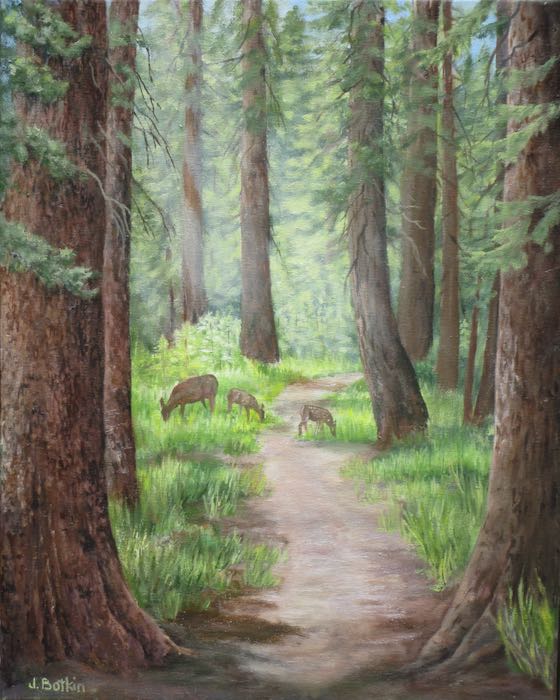
This view was the inspiration for my oil painting “Heading to Eagle”. It never photographs well.
You can see that I veered off the photo; the ArtWorld would be proud of my non-dependence on photographs, but it was REALLY DIFFICULT. We often see deer in this area, so I decided that would spice up the painting.
Heading to Eagle, oil on wrapped canvas, 16×20”, $650
The sign is hard to read: Mosquito Lake is 1.6 miles away, and Eagle Lake, the most popular destination, is 1.4 miles. That trail is much harder because of a boulder field; Mosquito climbs quite a bit, and then drops to the lake. “EVERYONE” goes to Eagle; we chose to go to the less popular lake.
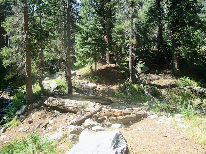
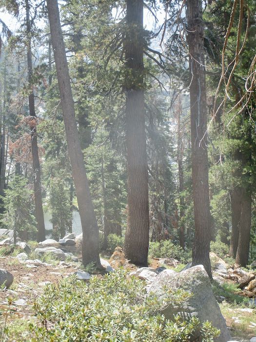
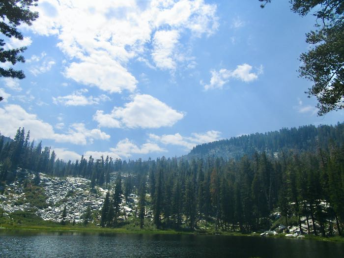
First glimpse of the lake through the trees.
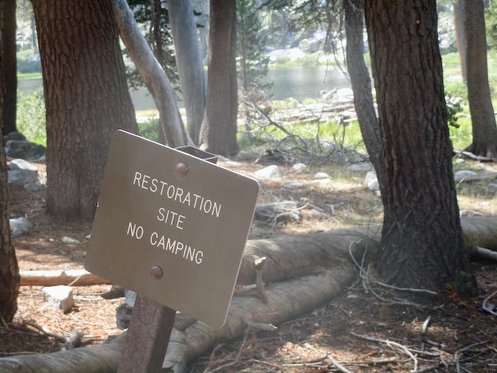
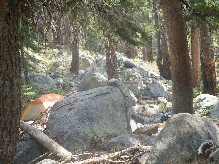
There is no camping allowed at the first Mosquito Lake (there are 5 total); however, there doesn’t seem to be any enforcement. There is also no trail to Mosquito #2, just many random and varied trails, with ducks (AKA cairns) all over the place. Couldn’t prove it by me: this was my destination.
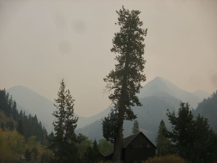
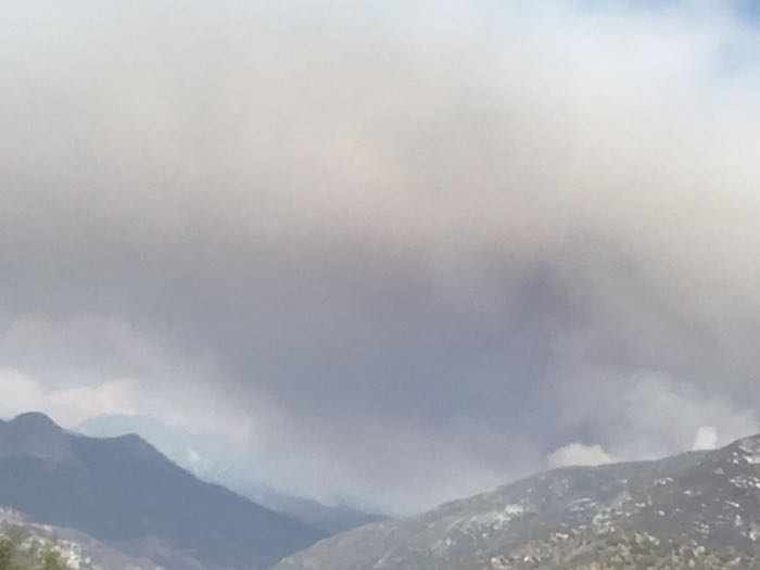
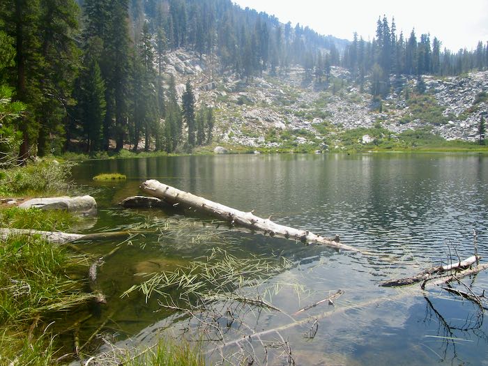
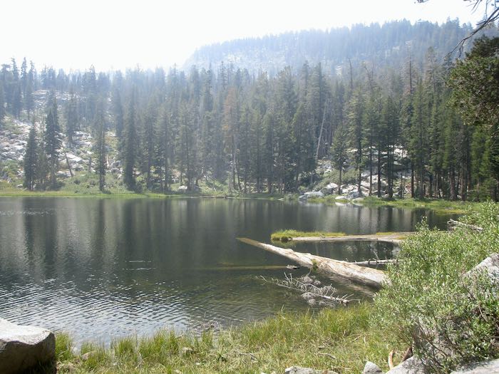
Never mind. Let’s look at the lake. The light was poor, and it was a bit smoky due to a wildfire in Kings Canyon.
Hiking Buddy and I turned back to Mineral King (after I put my feet in the water), and K went on to Mosquito #2.
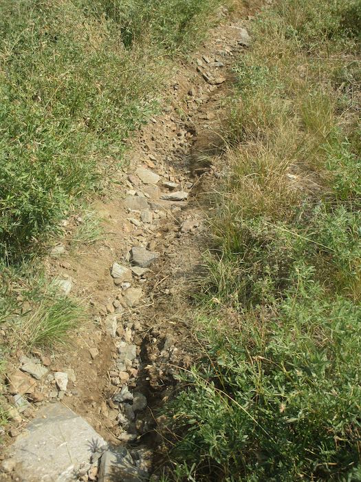
The trail is a bit troughed, probably due to last week’s big storms.
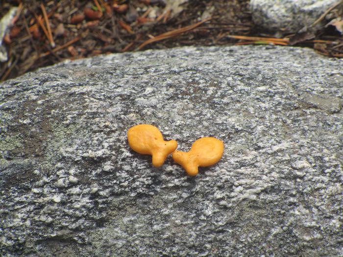
Anyone ready for a snack? Some thoughtful person left these two goldfish on the trail.
Back to Eagle Creek and the sinkhole.
Hiking Buddy noticed this perfect stone in the creek. We wisely decided to just admire it from a distance.
I’m always happy to see Spring Creek bridge on the way back to the cabin. Yeah, smoky or hazy or whatever, but in real life, the green is dominant.
Depending on how one calculates distance or what signs are to be believed, the distance to Mosquito Lake is 3.6 miles, 3.75 miles, or, as most of the locals just say, 4 miles.
My feet hurt, but it was a great day. There were no mosquitos, although Hiking Buddy claims to have killed one when she slapped my arm.