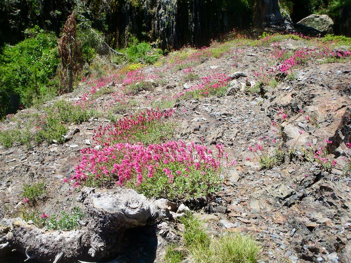
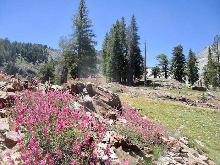
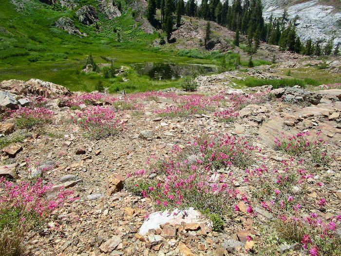
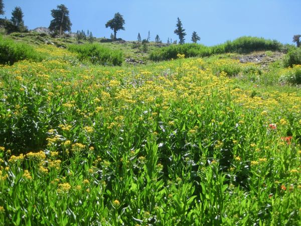
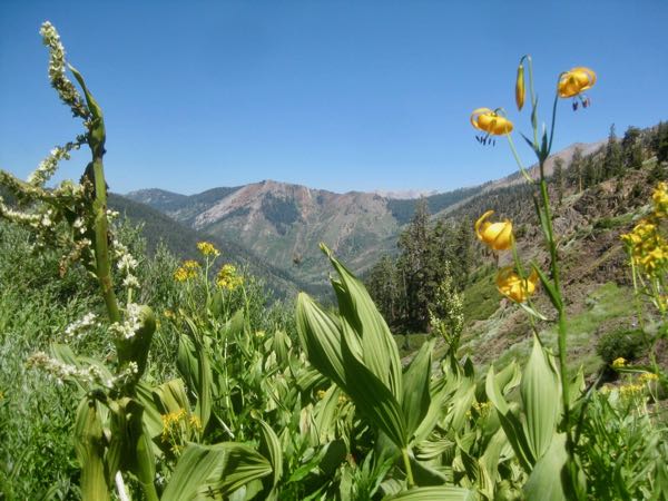
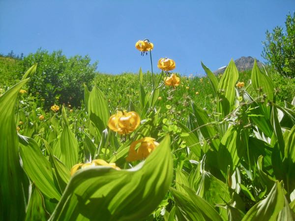
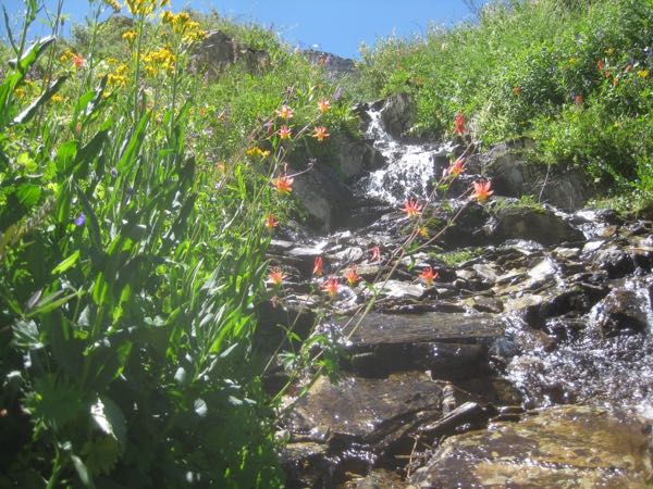
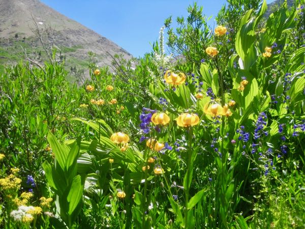
Trail Guy and our friend K went to White Chief, and came back raving about the flowers. Two days later I went to White Chief and came back raving about the flowers. Our photos are intermingled on my laptop, so I’ll just post some many in today’s post and many more in tomorrow’s, keeping the chitchat minimal.
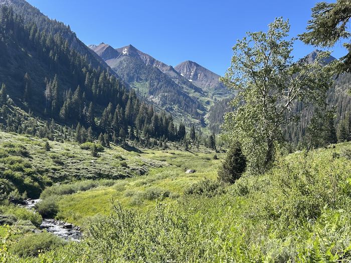
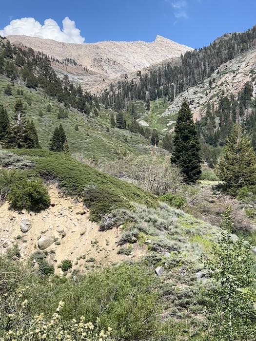
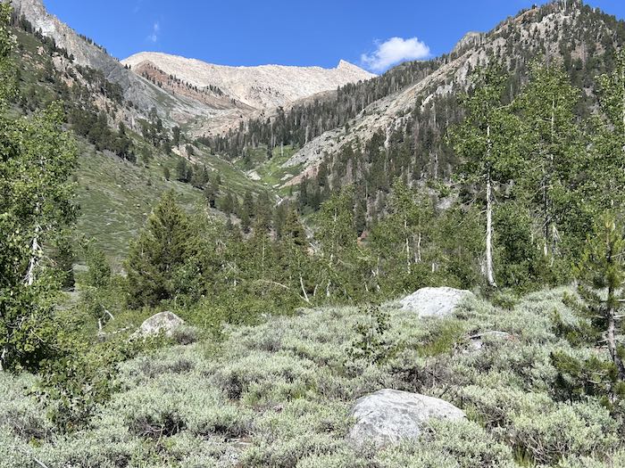
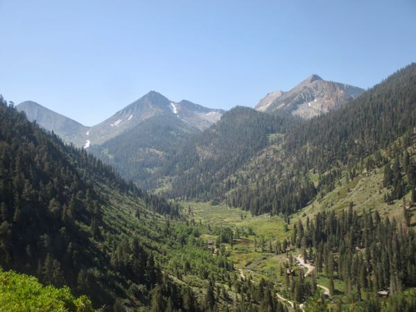
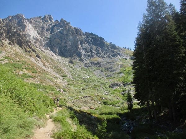
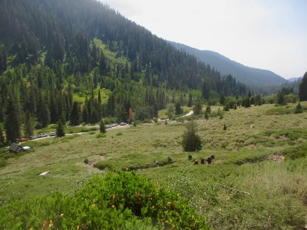
Super clear day, heading up the right (west) side of the valley.
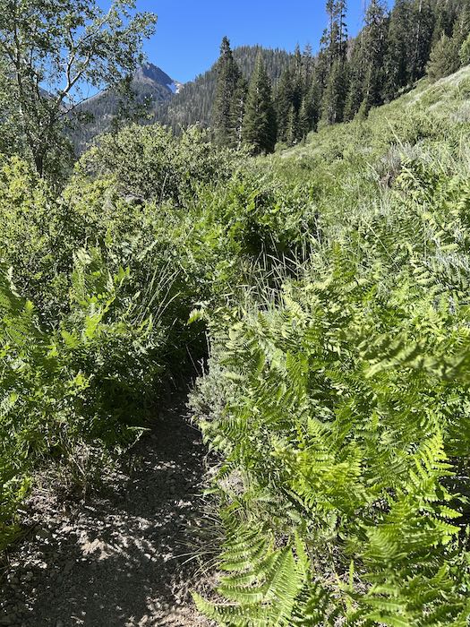
The ferns along the trail are tall despite only being the end of June.
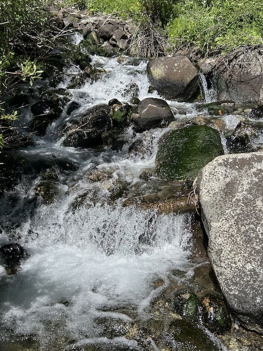
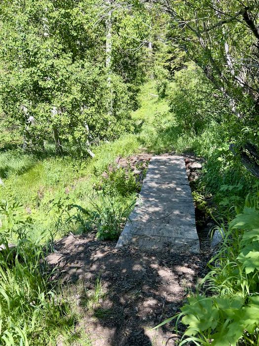
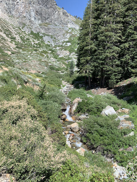
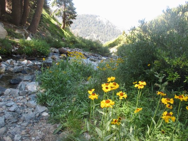
Spring Creek is running strong—thankful for that footbridge!
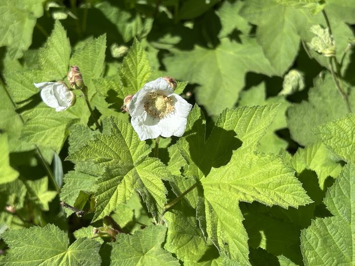
thimbleberrycollomiapenstemon
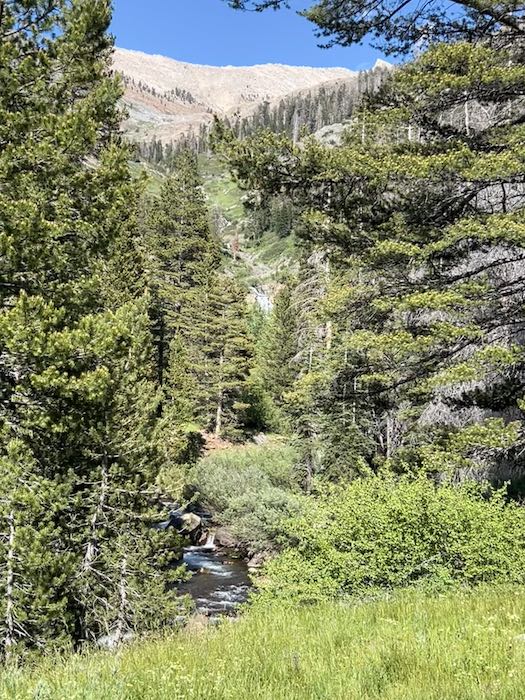
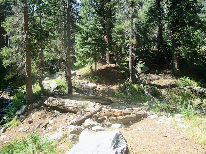
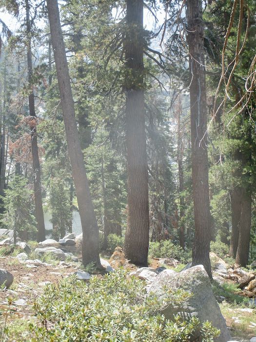
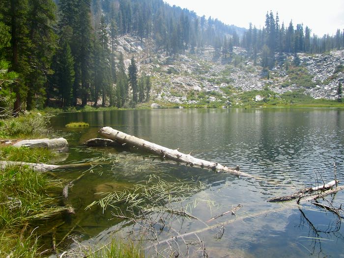
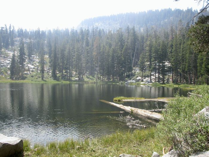
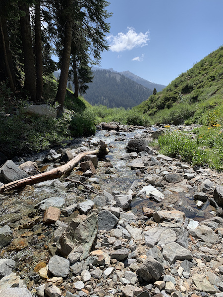
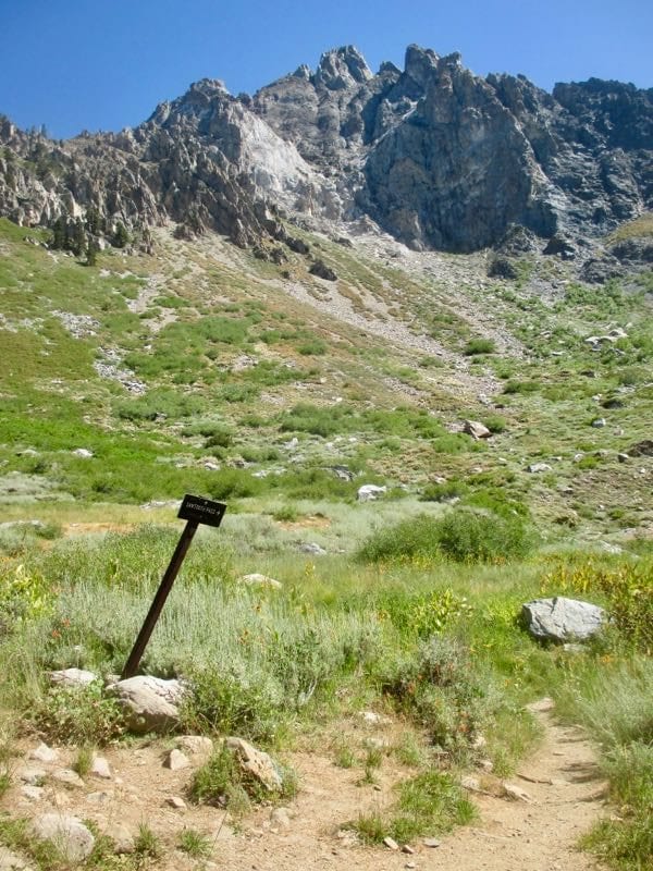
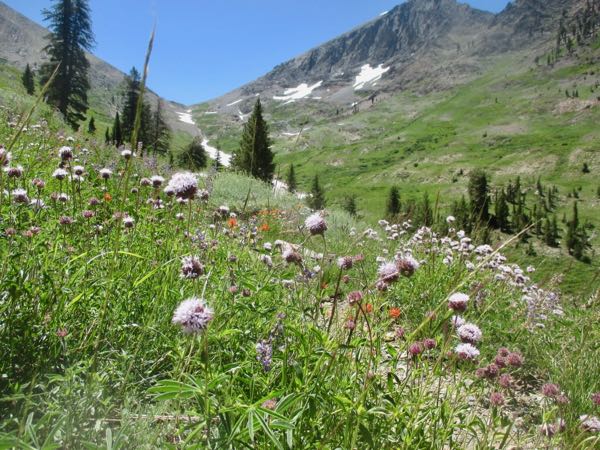
Entering White Chief, like a painting that sold earlier this summer, except the stream is dry now.
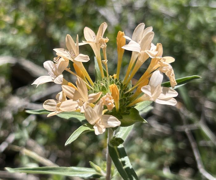
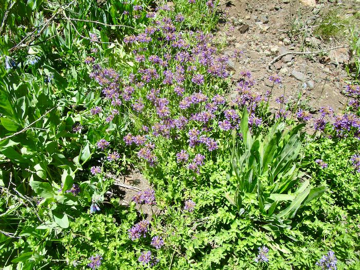
Pride of the Mountains was stunning!
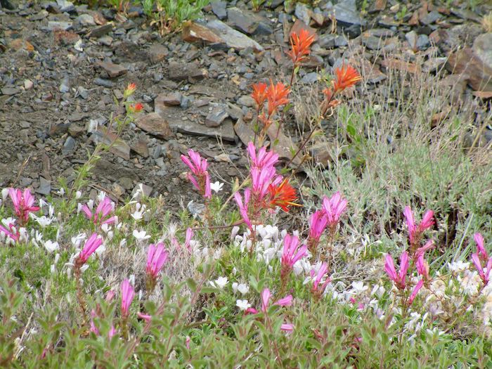
The color clash was amusing to me. . . color combinations acceptable in nature would be weird in someone’s wardrobe.
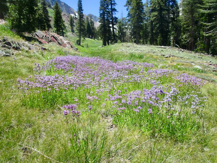
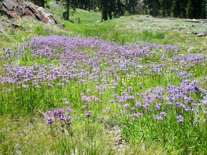
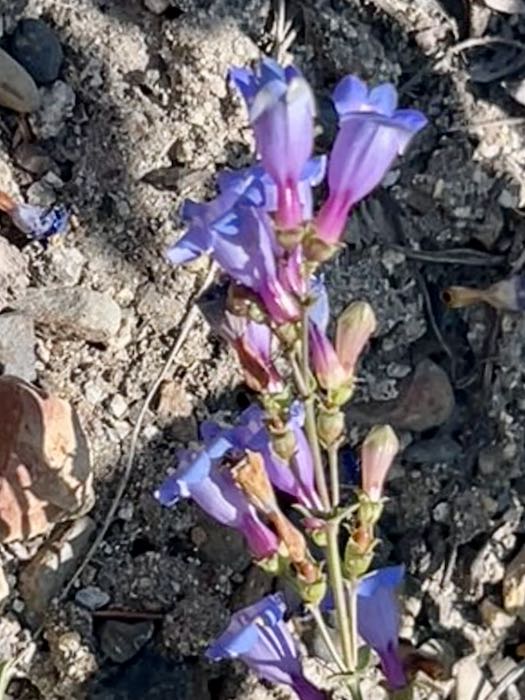
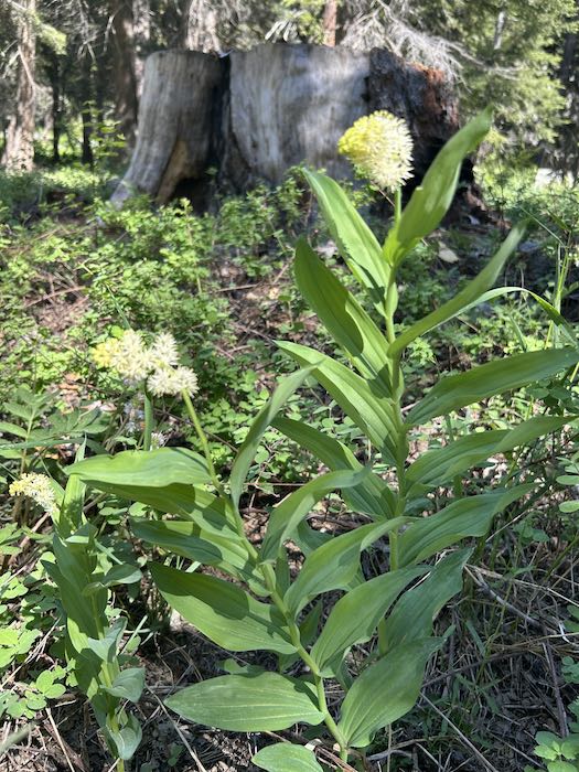
Whorled penstemmon was profuse.
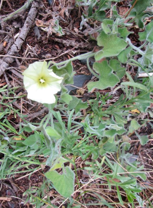
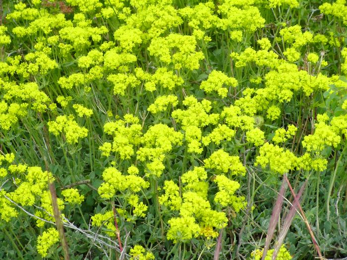
morning glorysulphur flowerunknown
Come back tomorrow for more. The whole thing was stunning, and neither the camera nor the iPhone 14 do it justice.
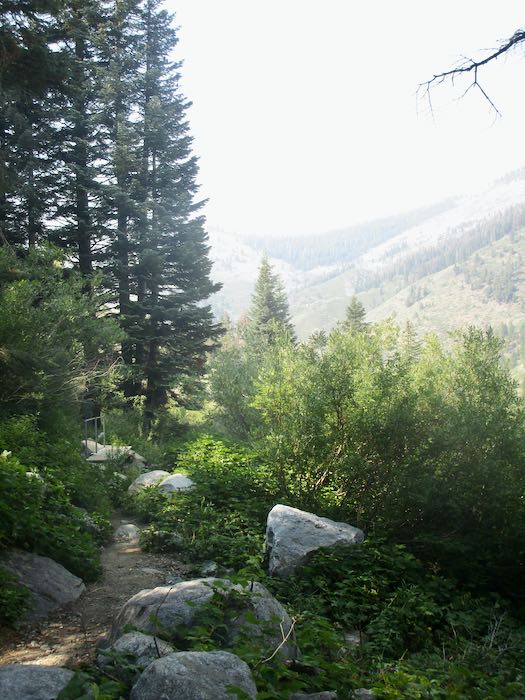
With my new-to-me iPhone 14 in hand, I walked down the Mineral King Road to Cold Springs Campground (STILL CLOSED—CALL YOUR CONGRESSMAN OR SOMETHING!) and back up the Nature Trail. This is about 2-1/2 miles total.
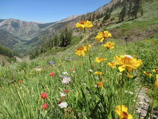
Let’s look at the flowers I found along the road. I actually did this route on two consecutive days and was very surprised by how many flowers vanished and new ones appeared in just 24 hours.
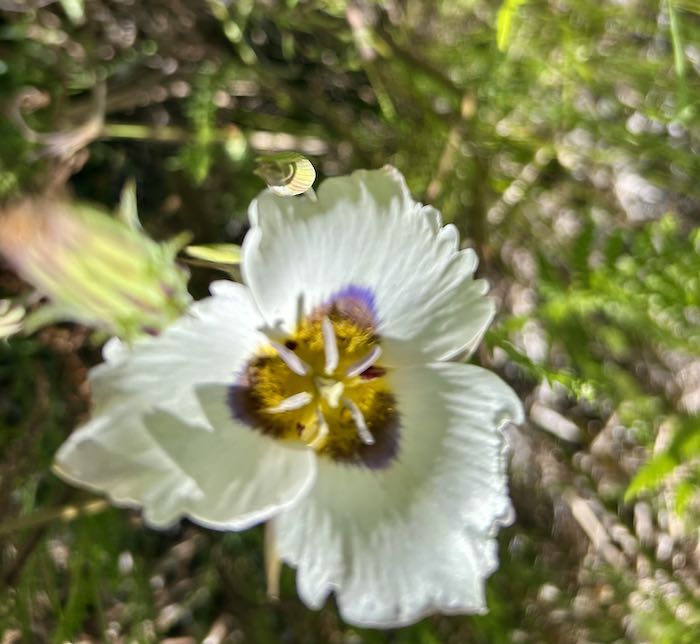
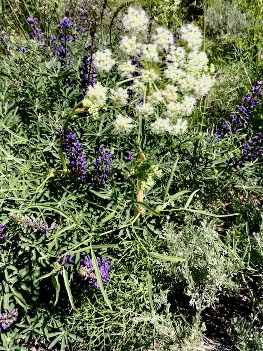
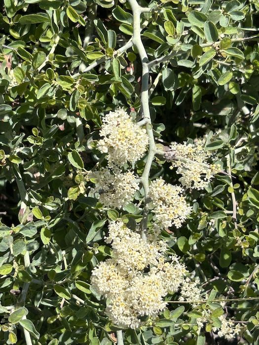
From left to right: mariposa lily—a ruffled variety I’ve never seen before; angelica (not to be confused with cow parsnip because angelica has lacy leaves); buckthorn
This view at the top of Endurance Grade always grabs me. Endurance Hill. Coral Hill. Whatevs. It photographs much better with the phone than it ever did with the camera, as much as it pains me to admit.
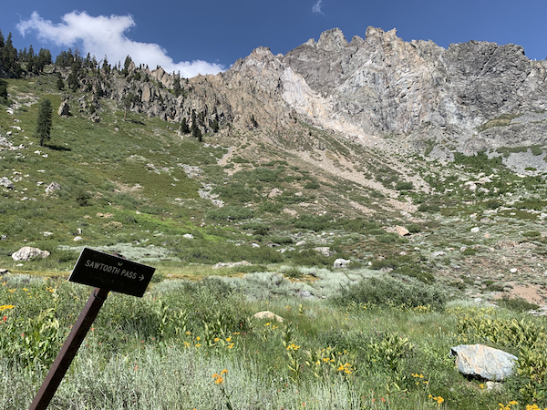
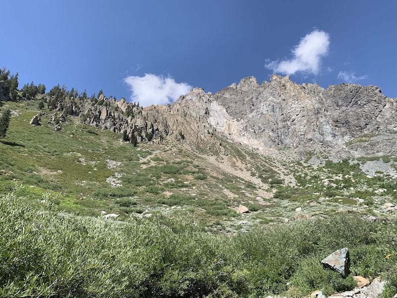
Most people prefer the view of Sawtooth. Sawtooth isn’t my favorite, but I paint it over and over because most people like it—they haven’t been medivacked off it*.
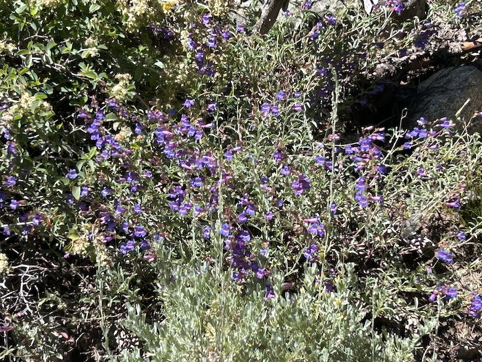
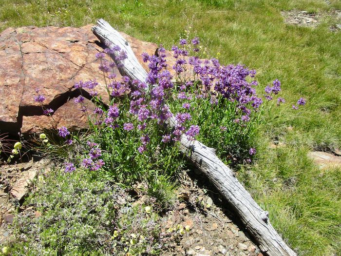
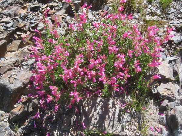
I love penstemon, particularly this variety. The color just slays me. Maybe I should learn the actual variety name.
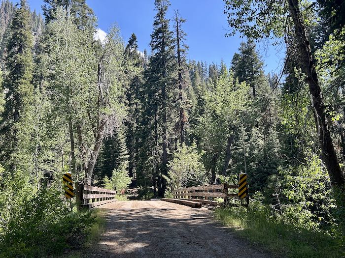
A little past the ranger station, we cross the neglected bridge into the closed (WHY?) Cold Springs Campground. (It’s kind of fun to flick off the flaking paint. No, I am NOT telling you to do that! Why would I tell you to do that? Do you think I’m immature or something?)
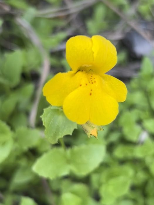
Here are some yellow flowers on the other side of the bridge: seepspring monkey flower and false lily of the valley.
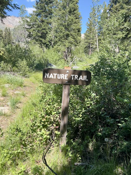
At the upper end of the closed (WHY?) Cold Springs campground is where the trail begins. It used to have lots of interesting and helpful signs along the trail. The Park removed them all with the plan of upgrading them, but it has been about 10 years so I don’t think it is a priority. (The Park will say, “Hiring freezes! Understaffed!” to which I have many opinions which I will keep to myself in order to keep the tone of my blog elevated.)
At least the beginning of the trail has a nice sign.
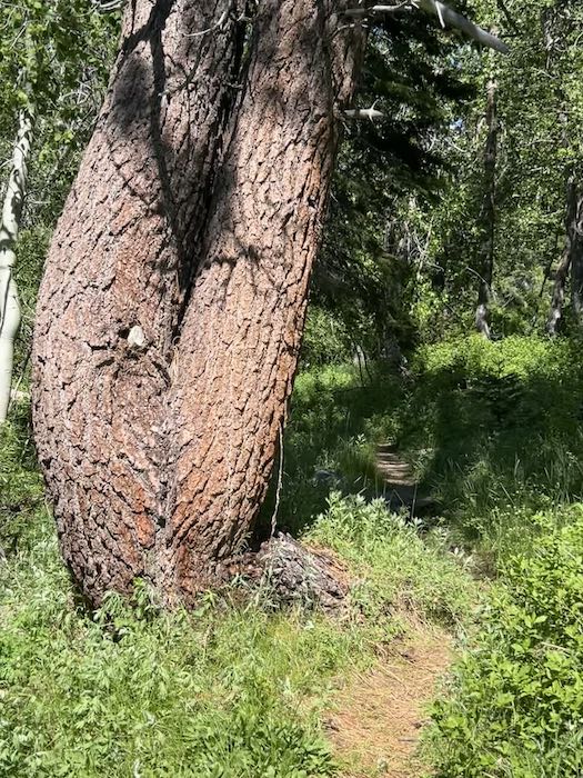
This is a Jeffrey pine, which used to have a sign explaining how to tell the difference between Jeffrey and Ponderosa pines and inviting you to sniff the tree, because Jeffreys smell a tad like vanilla.
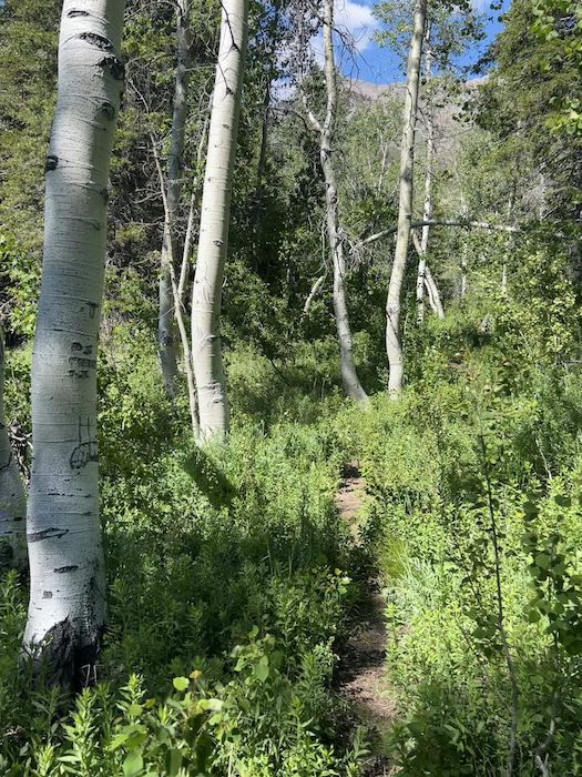
Aspens are thick along the trail.
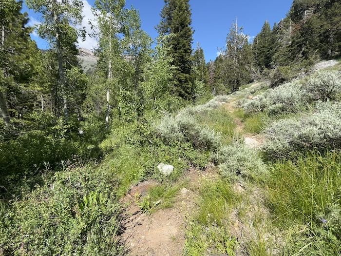
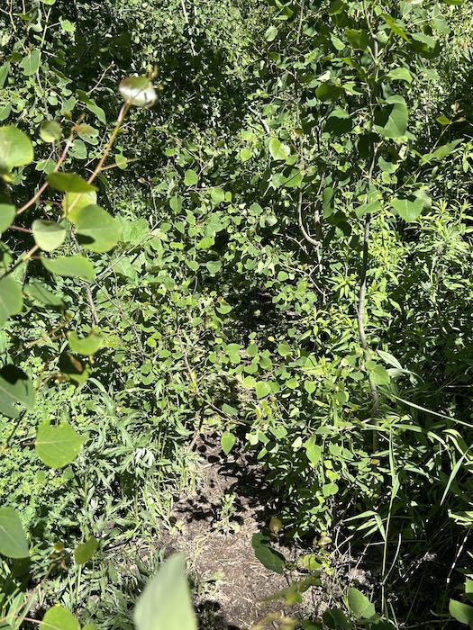
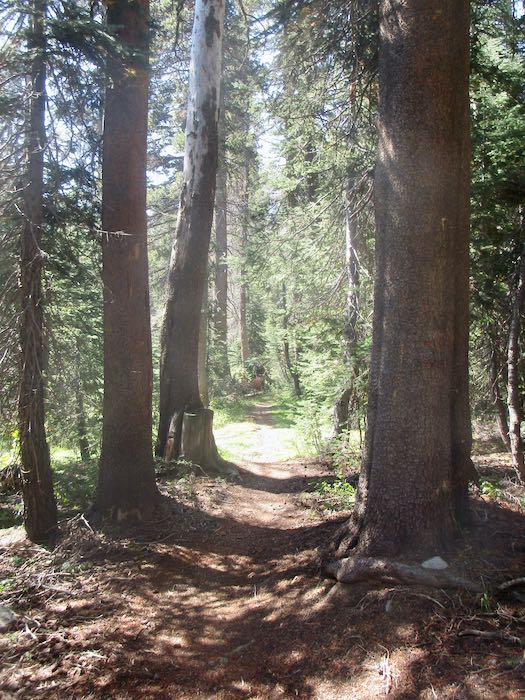
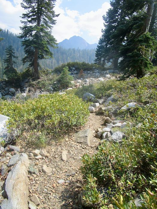
Can you see the trail? It’s definitely overgrown. Last week we saw a trail crew guy and I asked if I could prune it for them. He actually said, “If you want to!”
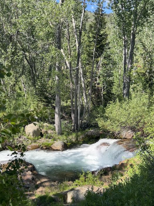
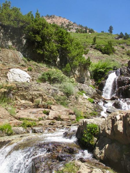
Blog Reader and Top Commenter Sharon calls this “Iron Falls”.
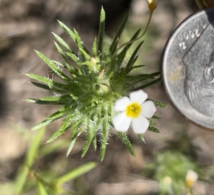
I finally remembered to put a dime in my pocket so that you can see the scale of wildflowers. I didn’t take into account how: A. difficult it is to photograph the 2 side-by-side with only 2 hands; B. to keep my hideous thumbnail out of the photo (yea for cropping); C. to make the phone focus on the blossom instead of the leaves; D. to actually see the screen. Maybe you are supposed to tap the bloom on the screen, but already being shorthanded, this is beyond my capability.
The little footbridge got rebuilt last summer, or maybe the one before. It all runs together.
More Sawtooth
And just in case you are into Sawtooth (Hi, Kathy Wolfe!), here it is one more time, peeking around the ridge, before the phone battery died**.
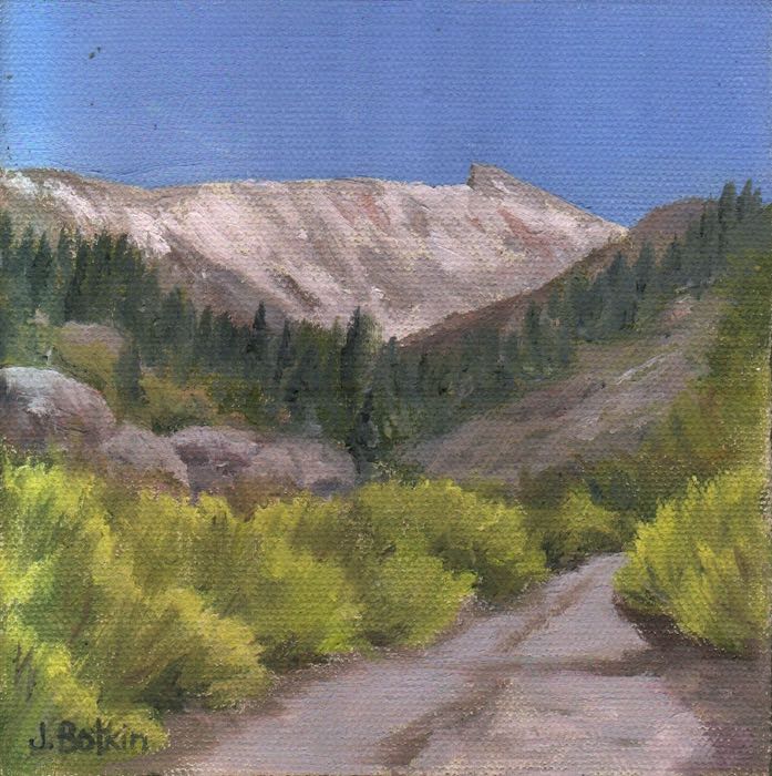
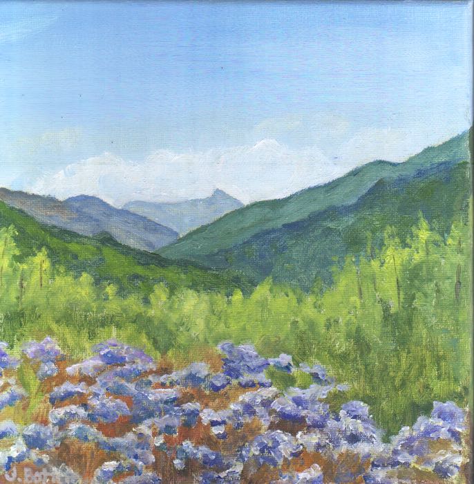
OIL PAINTINGS OF SAWTOOTH
WAIT! THIS IS A BUSINESS WEBSITE! Here are some oil paintings of Sawtooth available this summer at the Silver City Store (unless they have sold already.)
Sawtooth #67, 8×10”, oil on wrapped canvas, $165
Sawtooth # 68, 6×6”, oil on wrapped canvas, $75
Sawtooth #69, 8×8”, oil on wrapped canvas, $145
*It was 50 years last week so you’d think I’d be over it. I am, but it still isn’t my favorite. So there.
**This is the biggest disadvantage of using a phone instead of a camera. I also bought a charger, but it only works when it feels like it. The frustrations of tech are endless.
My adventurous and fearless friend K consented to hike with me and Hiking Buddy, even though we are no where near her level of competence on the trails. It had been years since I’d seen Mosquito Lake, and although I doubted my ability to tolerate foot discomfort that distance, we chose to go in that direction.
I divided the walk into segments, figuring that at each step, I could re-evaluate. 1. White Chief junction; 2. Hanging meadow; 3. Sink holes; 4. Eagle/Mosquito junction; 5. JUST GO ALL THE WAY! (Never mind that it was another 1.6 miles from the Eagle junction.)
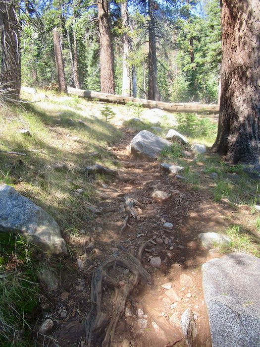
The trail is steep in places, with roots and rocks, so pay attention to your footing!
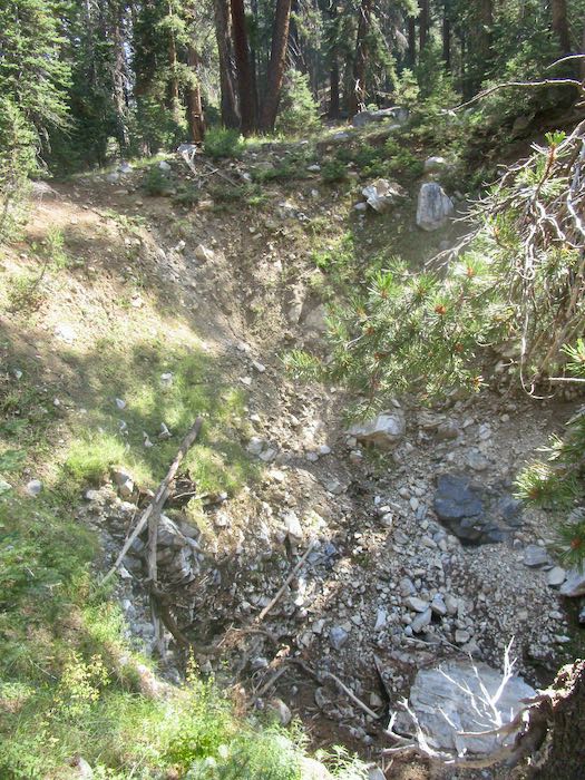
This is one of the sink holes, where the water disappears into the ground. K said the hole has gotten deeper through the 60 years she’s been in Mineral King. The bottom doesn’t show here and there is no specific answer as to where that water reemerges, or if it actually does.
It used to cross the trail and go down into a different hole on the other side of the trail. Maybe that logjam ahead redirected the water to the current hole on the left.
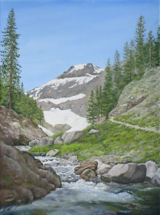
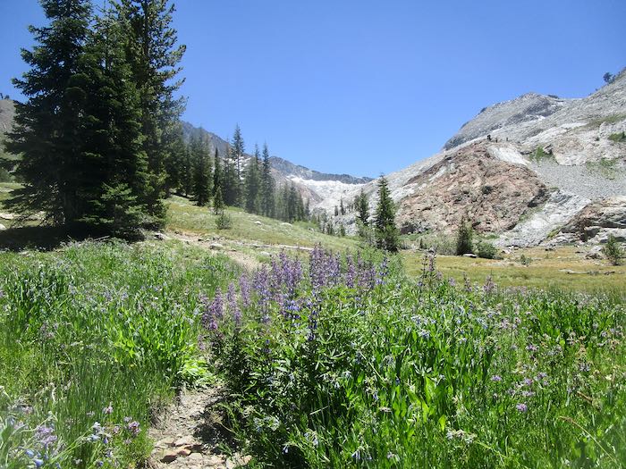
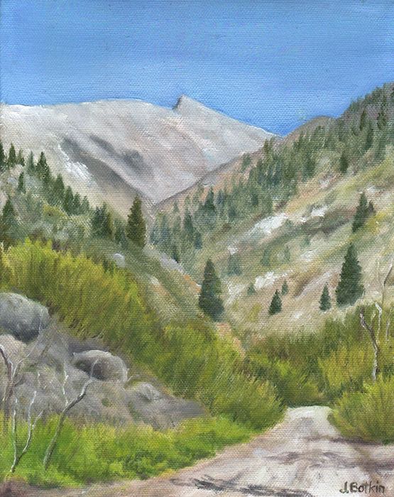
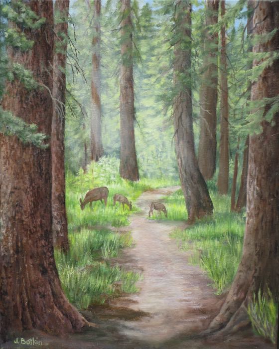
This view was the inspiration for my oil painting “Heading to Eagle”. It never photographs well.
You can see that I veered off the photo; the ArtWorld would be proud of my non-dependence on photographs, but it was REALLY DIFFICULT. We often see deer in this area, so I decided that would spice up the painting.
Heading to Eagle, oil on wrapped canvas, 16×20”, $650
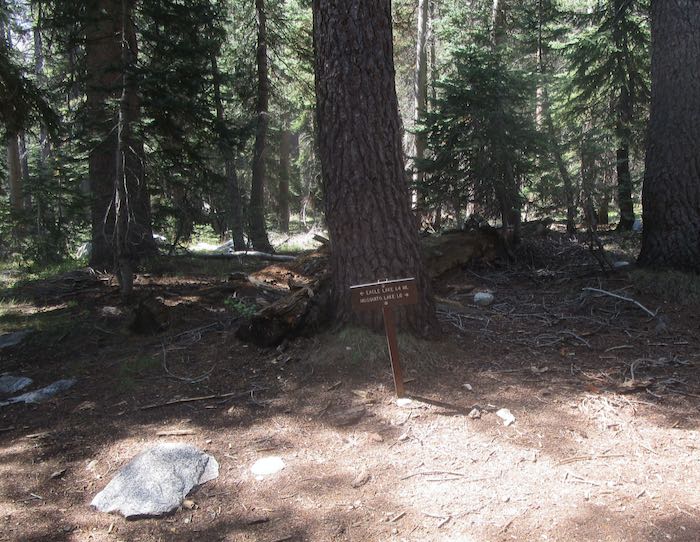
The sign is hard to read: Mosquito Lake is 1.6 miles away, and Eagle Lake, the most popular destination, is 1.4 miles. That trail is much harder because of a boulder field; Mosquito climbs quite a bit, and then drops to the lake. “EVERYONE” goes to Eagle; we chose to go to the less popular lake.
First glimpse of the lake through the trees.
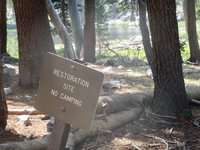
There is no camping allowed at the first Mosquito Lake (there are 5 total); however, there doesn’t seem to be any enforcement. There is also no trail to Mosquito #2, just many random and varied trails, with ducks (AKA cairns) all over the place. Couldn’t prove it by me: this was my destination.
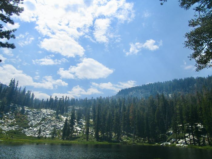
Never mind. Let’s look at the lake. The light was poor, and it was a bit smoky due to a wildfire in Kings Canyon.
Hiking Buddy and I turned back to Mineral King (after I put my feet in the water), and K went on to Mosquito #2.
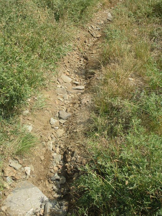
The trail is a bit troughed, probably due to last week’s big storms.
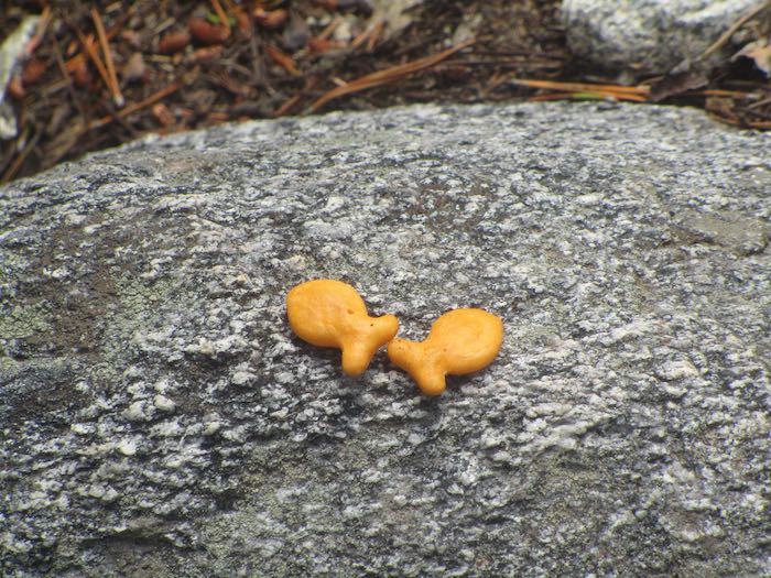
Anyone ready for a snack? Some thoughtful person left these two goldfish on the trail.
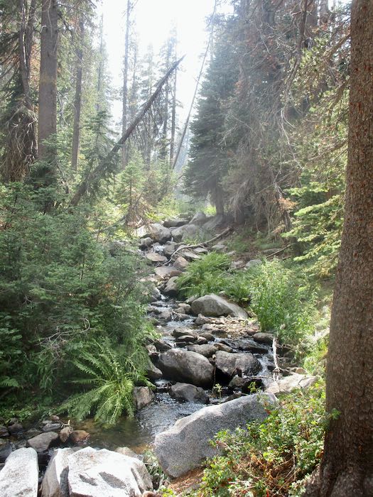
Back to Eagle Creek and the sinkhole.
Hiking Buddy noticed this perfect stone in the creek. We wisely decided to just admire it from a distance.
I’m always happy to see Spring Creek bridge on the way back to the cabin. Yeah, smoky or hazy or whatever, but in real life, the green is dominant.
Depending on how one calculates distance or what signs are to be believed, the distance to Mosquito Lake is 3.6 miles, 3.75 miles, or, as most of the locals just say, 4 miles.
My feet hurt, but it was a great day. There were no mosquitos, although Hiking Buddy claims to have killed one when she slapped my arm.
. . . and shared her photos. Thank you, Sharon Devol! Since unlike some of us, she wasn’t racing around trying to get to Chihuahua Bowl, Sharon took the time to enjoy Groundhog Meadow.
(And I still want to know why Chihuahua Bowl wasn’t full of M&Ms, preferably dark chocolate. Do they make dark chocolate M&Ms with almonds?? Why even have a bowl if it isn’t full of something like M&Ms?)
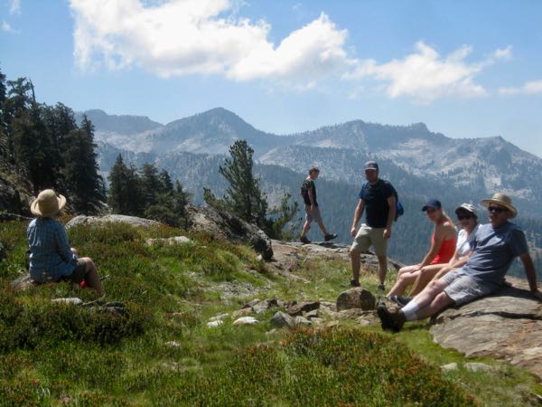
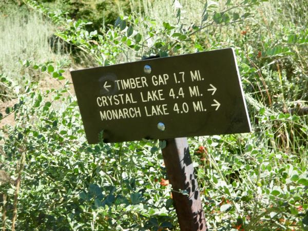
Where’s Chihuahua? This is the name of a bowl and a drainage with a seasonal creek that ends up near the pack station in Mineral King. It is up the Timber Gap/Sawtooth trail, on the way to Cobalt and Crystal Lakes. We were joined by The Farmer, Hiking Buddy, The Heir and his wife (I’ll call her Beauty), and the Nine-Year-Old for what we mistakenly thought would be a simple walk.
It was a hike. A Hike. A HIKE. A HIKE!
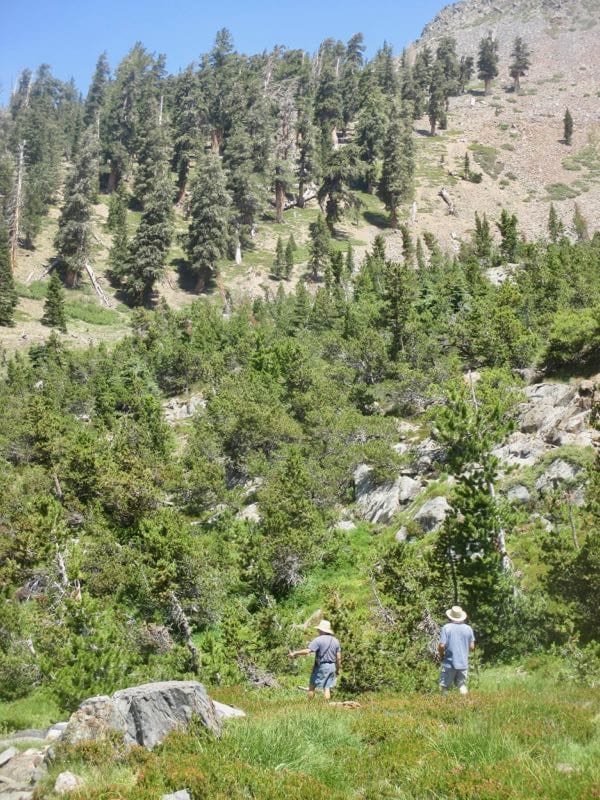
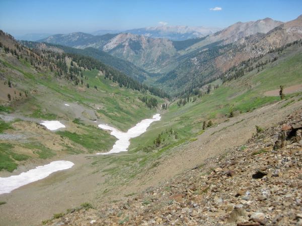
The Mineral King Valley is still green in August! We are partway up the first steep 1/2-mile of the Timber Gap Trail.
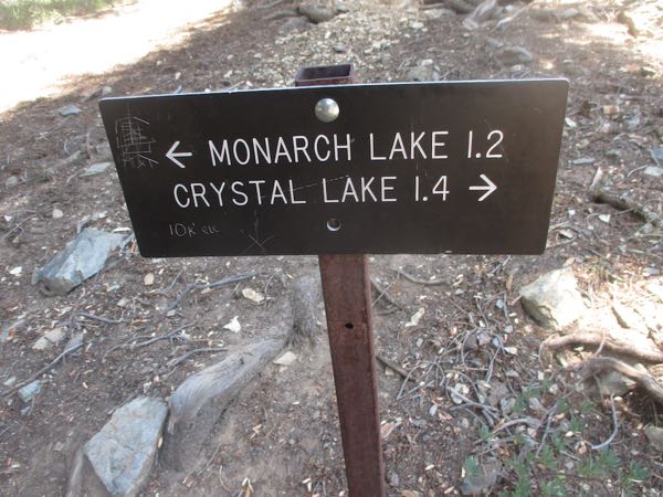
Choices and consequences. . . but it doesn’t list Sawtooth, Cobalt, or Chihuahua. Note the mileages on the sign – one would reasonably conclude that there is a .4 mileage difference between the 2 lakes listed here.
Looking toward Eagle Lake across the valley, The Farmer told the Nine-Year-Old that up on the ridge are 2 Indians on horseback, and then there are 3 wisemen leading 1 camel. Can you see this?
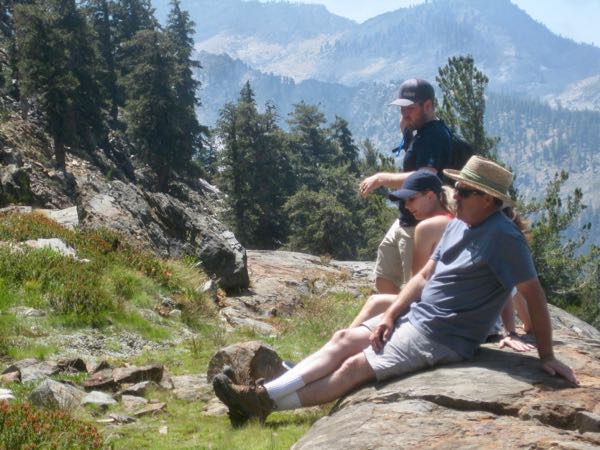
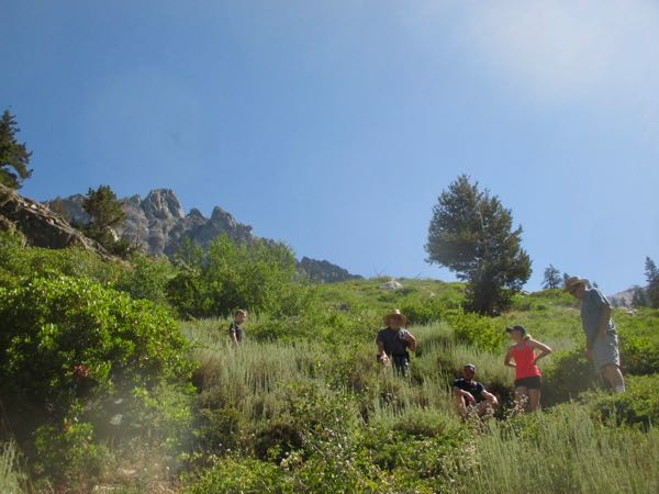
Nice of you all to wait, but I bet you will take off the minute I reach you. Beauty is sporty, young and fit. Hiking Buddy and I lagged a bit. The Farmer probably wished he could have lagged. Nine-Year-Old kept telling us he had never walked so many steps in his entire life, INCLUDING Knott’s Berry Farm!
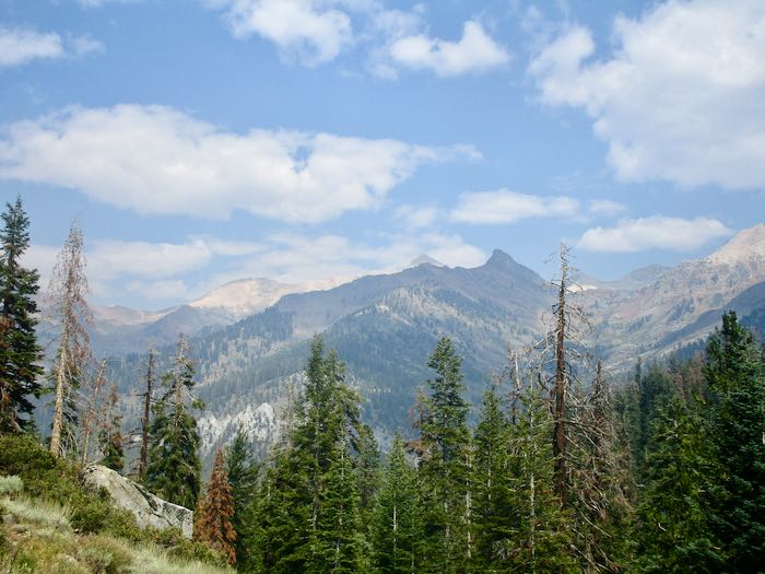
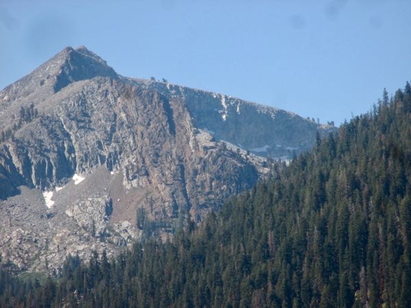
Yep. They stayed well ahead of me. That’s the rock outcropping of Empire Mt. that’s visible from the Mineral King valley but isn’t the highest point.
The sign reads “TRAIL”, because there is an old unmaintained trail to Monarch and Sawtooth off to the left.
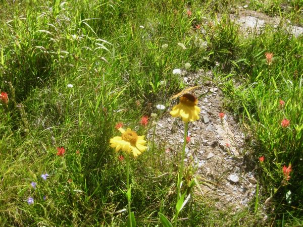
The Bigelow Sneezeweed was profuse at Groundhog Meadow, a name that has always puzzled me. They are MARMOTS, not groundhogs, and it is sort of a boulder field, not really a meadow. But it is always a relief to get there because the trail is steep, hot, and dusty. Really steep at the end!
A variety of Mallow.
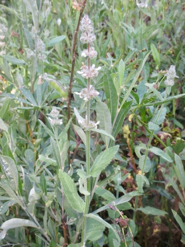
An unknown with soft fuzzy leaves, definitely in the mint family because of its square stem. I first saw this 2 weeks ago on the walk up the secret trail.
Mountain Jewelflower is something I never noticed until this year, and now it seems to be everywhere.
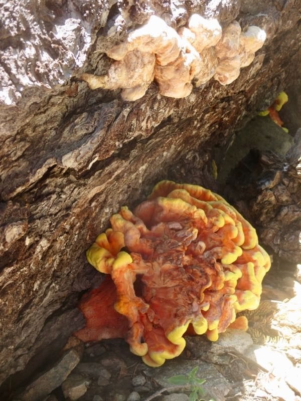
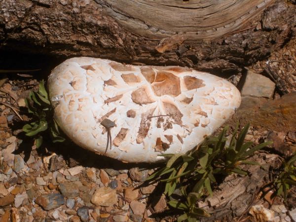
Weird. A fungus? A lichen? Not a flower!
The way we kept Nine-Year-Old moving ahead (and ourselves) was the promise of water at Chihuahua Bowl.
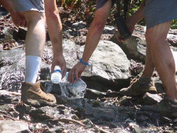
Trail Guy and The Farmer filled all our bottles.
The views were wonderful, and we were thankful to plop down and eat our lunches. The Heir packed cold barley pop for his family, which I thought was a fitting complement to the Hot Tamales which kept Nine-Year-Old moving forward.
NOW where are they going?? Oh. Scouting out a route to the Crystal Lake trail so we don’t have to bushwhack back the same way we came.
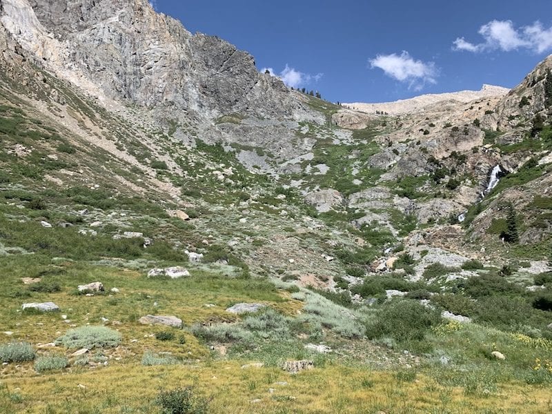
It has been years since I went to Crystal but I remember the rough trail past Chihuahua, up over that ridge ahead, down through the part where you can see Cobalt Lakes below, and then back up to Crystal. It isn’t a trip for the weak-minded or weak-bodied.
What’s going on here?? I thought the difference in mileage between the lakes was 4/10 of a mile, not 2/10. Did Monarch get pushed farther out, or did Crystal get pulled closer? My memory says that Crystal is farther than just another 1.4 miles from this junction.
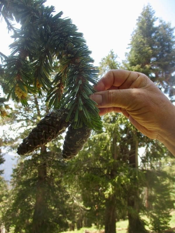
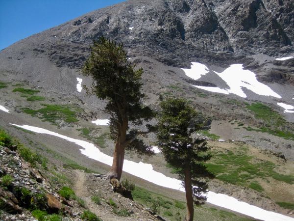
Trail Guy and I went toward Monarch briefly because I remembered seeing a tree along the trail a few years ago that I couldn’t identify. Turns out it is a foxtail pine, and I didn’t recognize it because it is sheltered from the harsh elements and has grown tall and straight instead of the gnarly warped shape I am used to seeing.
Same view, several hours later, at Groundhog Meadow. “Groundhog Meadow”, as opposed to Marmot Boulderfield.
This trail is hot, dusty and steep. Any time I am trudging back down it in the heat of the day, I question the wisdom of day hiking on this side of the valley.
A group of 14 very fit and fairly grumpy Sierra Clubbers passed me up. I might be grumpy too if I had a 6 hour drive back to a city.
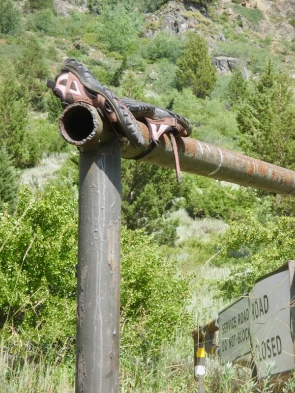
Someone forgot their shoes. They might be my size. If not, I’ll send them to Provision International.
I am currently working on things that don’t belong on this blog. These things are often not in Mineral King, and since Mineral King is the most popular topic on the blog, I am showing you photos of recent hikes by my husband of almost 33 years, Trail Guy. Eventually I will be working on my art again and letting you have a peek into the life of this Central California artist.
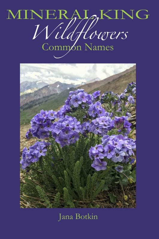
Sky Pilot is only found in very high elevations, almost always near Farewell Gap. This is the flower on the cover of “Mineral King Wildflowers: Common Names” (but not this photo).
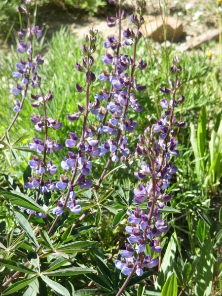
Lupine, not Sky Pilot.
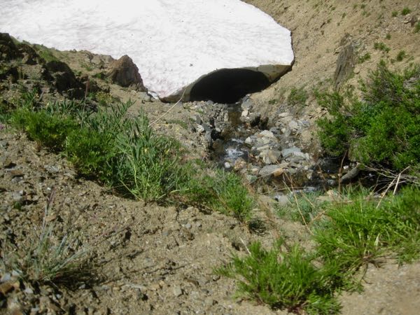
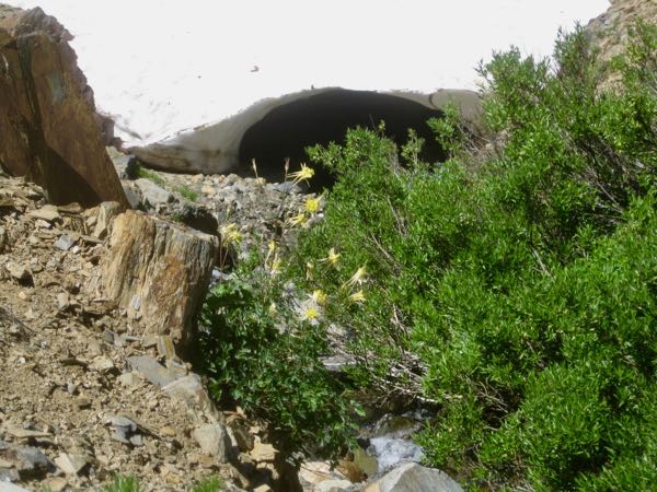
Yeppers, snow remains in August. . .
. . .but it is melting.
Thank you, Trail Guy, for photographing wildflowers and hopefully whetting the appetite of the readers for a book that tells the common names of Mineral King wildflowers!
100 page paperback, flowers in photos, common names only, lots of chatty commentary, $20 including tax. Available here Also available at the Three Rivers Historical Museum, Silver City Store, from me if I put them in my car, or Amazon.
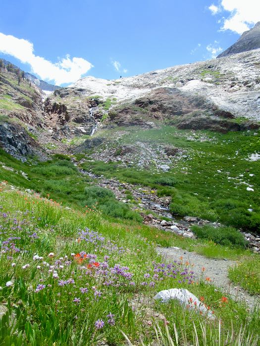
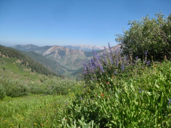
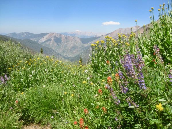
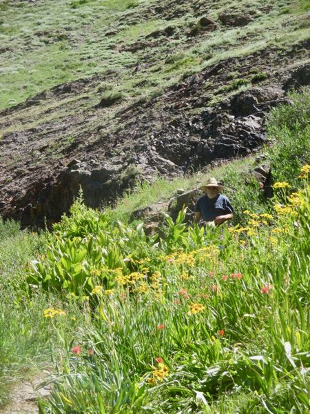
The junction of the Franklin Lakes and Farewell Gap trail is notorious for abundant wildflowers. I left the area reluctantly, as Trail Guy became Off-Trail Guy while I headed back to the cabin.
These folks passed me by, but when I caught up to them, I knew several. It was a group from Westmont College in Santa Barbara. Great folks!
The Pennyroyal were both thick and fragrant, especially if you knelt in them for a photo, as I did.
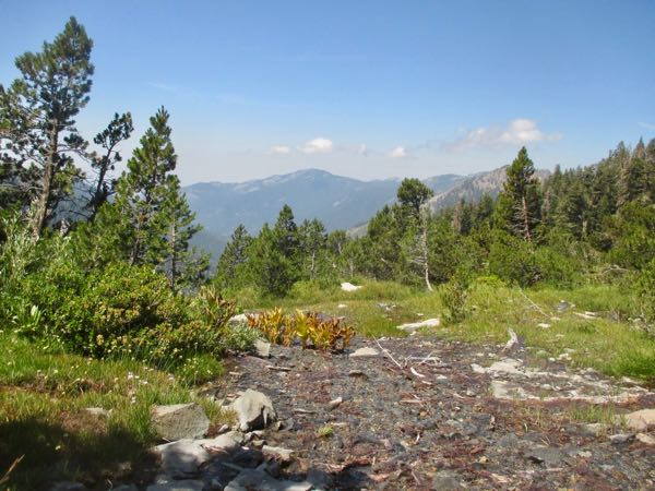
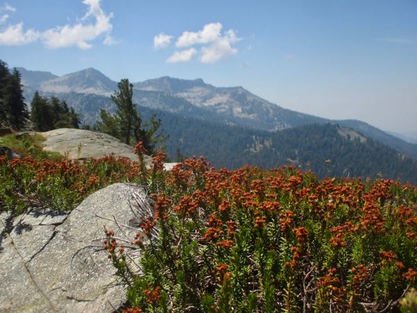
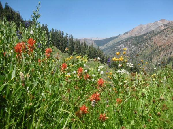
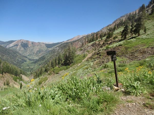
I keep looking for the best photo of wildflowers in the foreground with landmarks in the background. Timber Gap is the landmark area in this photo.
Timber Gap and Lupine, very similar to a photo taken by Trail Guy shown in yesterday’s post. (We’ve been married for almost 33 years, so things like this are bound to happen.)
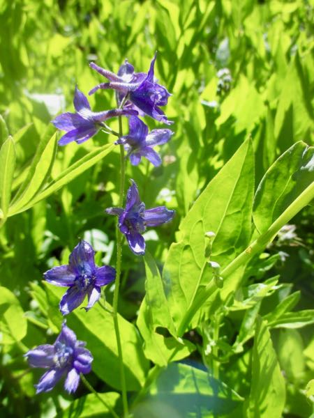
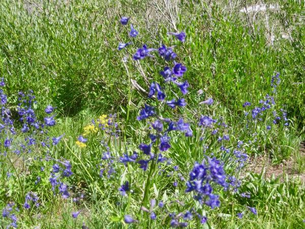
Larkspur is one of my favorites. (My real favorite, Explorer’s Gentian, was just beginning to bloom but I only greeted it, taking no photos.)
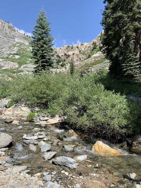
Franklin Creek. I managed to cross without accidentally sitting down this time.
Trail Guy and I parted ways at the junction. He wanted to go off-trail, and Prudence told me to stick to the trail. (I do best when I listen to her.) These are his photos from across the East Fork of the Kaweah, on the north-facing slopes of Farewell Canyon.
That’s not a wildflower!
Tomorrow I’ll show you photos of my hike the 4 miles back to Mineral King, on the trail.
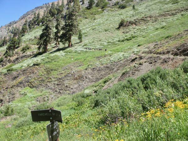
Trail Guy and I wanted to continue enjoying wildflowers at their peak, so we headed to the Franklin/Farewell Gap junction, 4 miles from the Mineral King Valley floor.
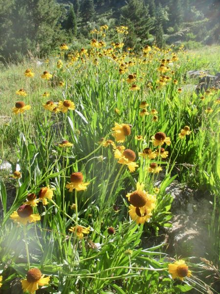
Morning sun coming through the Bigelow Sneezeweed.
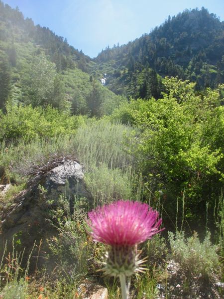
Morning sun coming through thistle at the Crystal Creek crossing.
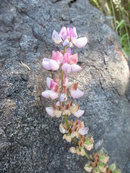
PINK Lupine?? Yeppers.
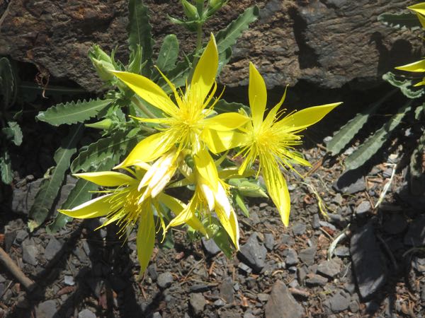
Last week this Giant Blazing Star was just unopened buds.
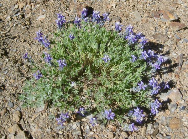
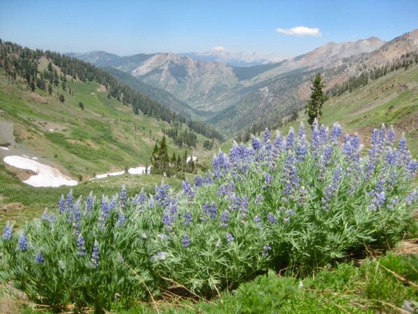
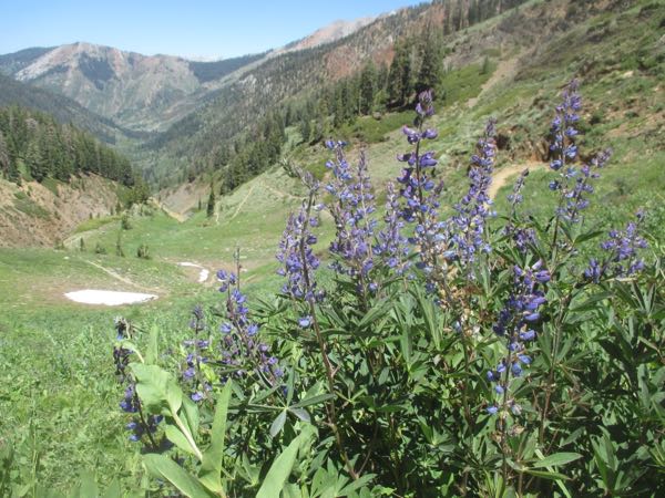
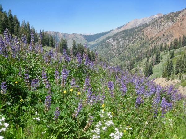
How many photos of Lupine will I take? As many as I want!
At the junction. The flowers are better behind me than in front.
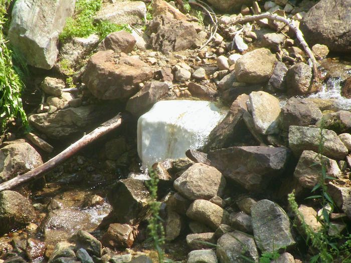
Trail Guy went up ahead to a spring with reliable water. Yeppers, we drink from springs. Not saying that you should, just that we do.
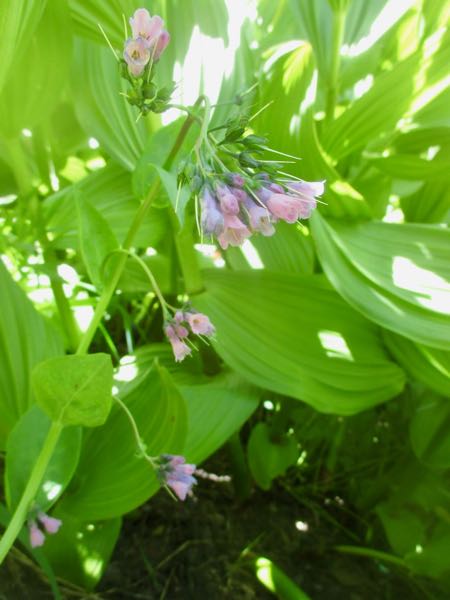
Pink Sierra Bluebells. Life is full of unanswerable questions.
Yikes. Look what is coming down the trail. Better get a move on!