Where’s Chihuahua? This is the name of a bowl and a drainage with a seasonal creek that ends up near the pack station in Mineral King. It is up the Timber Gap/Sawtooth trail, on the way to Cobalt and Crystal Lakes. We were joined by The Farmer, Hiking Buddy, The Heir and his wife (I’ll call her Beauty), and the Nine-Year-Old for what we mistakenly thought would be a simple walk.
It was a hike. A Hike. A HIKE. A HIKE!
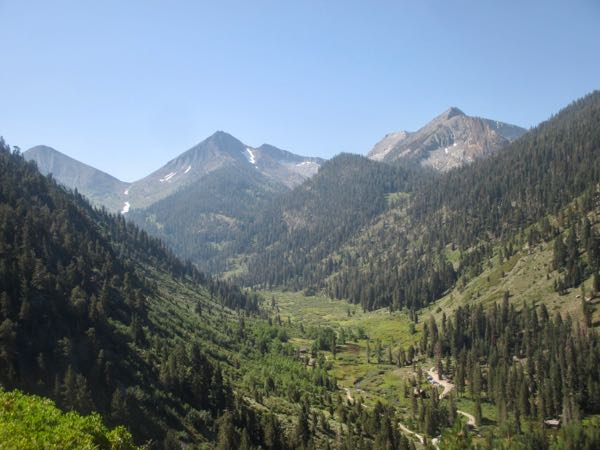
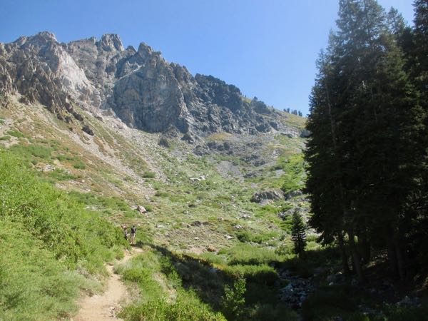
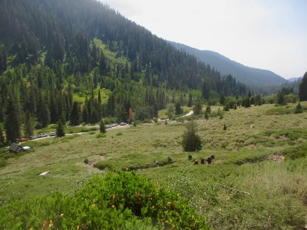
The Mineral King Valley is still green in August! We are partway up the first steep 1/2-mile of the Timber Gap Trail.
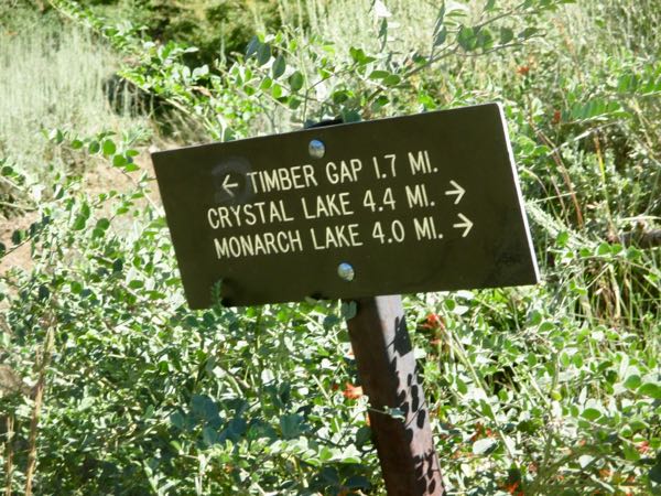
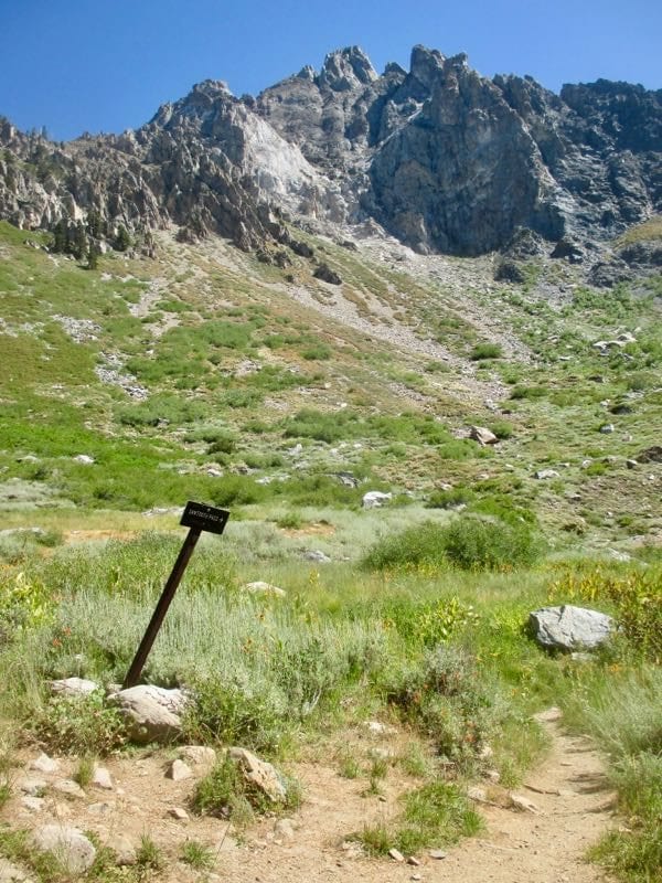
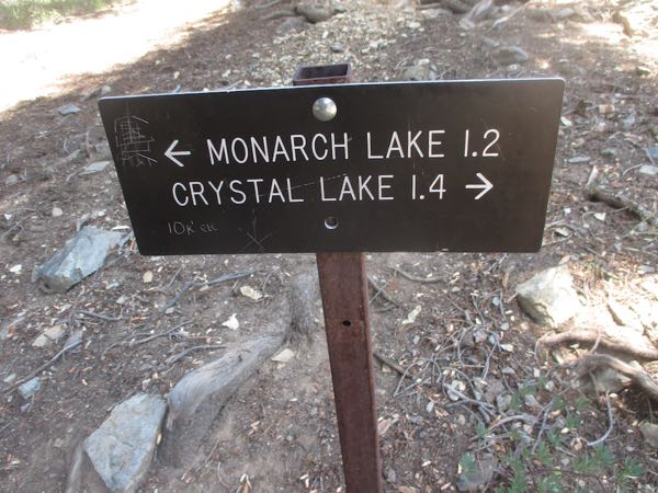
Choices and consequences. . . but it doesn’t list Sawtooth, Cobalt, or Chihuahua. Note the mileages on the sign – one would reasonably conclude that there is a .4 mileage difference between the 2 lakes listed here.
Looking toward Eagle Lake across the valley, The Farmer told the Nine-Year-Old that up on the ridge are 2 Indians on horseback, and then there are 3 wisemen leading 1 camel. Can you see this?
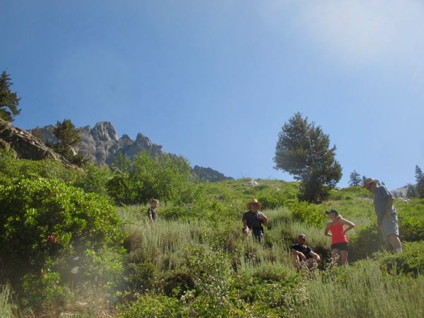
Nice of you all to wait, but I bet you will take off the minute I reach you. Beauty is sporty, young and fit. Hiking Buddy and I lagged a bit. The Farmer probably wished he could have lagged. Nine-Year-Old kept telling us he had never walked so many steps in his entire life, INCLUDING Knott’s Berry Farm!
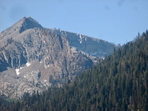
Yep. They stayed well ahead of me. That’s the rock outcropping of Empire Mt. that’s visible from the Mineral King valley but isn’t the highest point.
The sign reads “TRAIL”, because there is an old unmaintained trail to Monarch and Sawtooth off to the left.
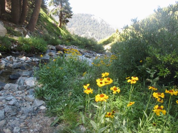
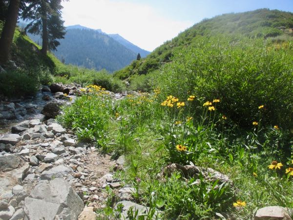
The Bigelow Sneezeweed was profuse at Groundhog Meadow, a name that has always puzzled me. They are MARMOTS, not groundhogs, and it is sort of a boulder field, not really a meadow. But it is always a relief to get there because the trail is steep, hot, and dusty. Really steep at the end!
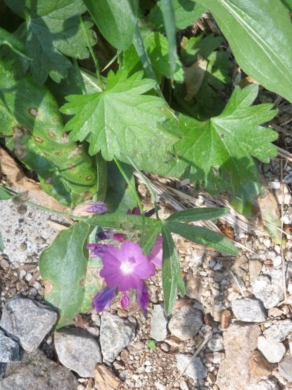
A variety of Mallow.
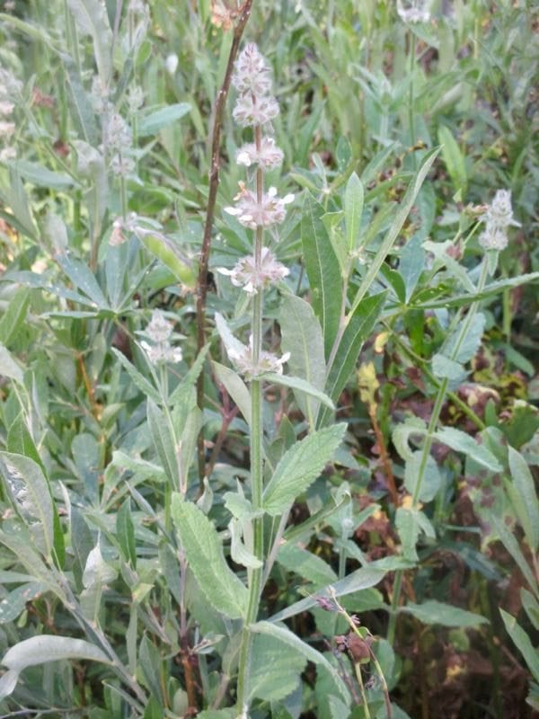
An unknown with soft fuzzy leaves, definitely in the mint family because of its square stem. I first saw this 2 weeks ago on the walk up the secret trail.
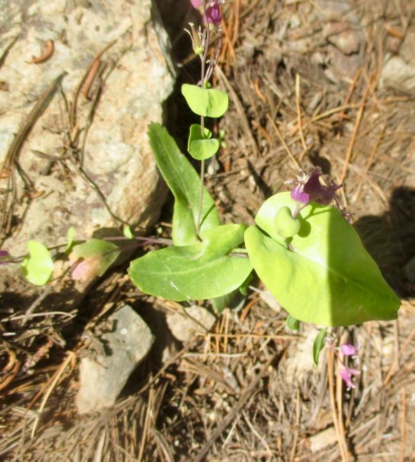
Mountain Jewelflower is something I never noticed until this year, and now it seems to be everywhere.
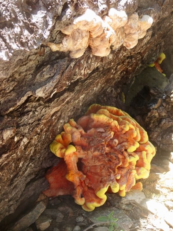
Weird. A fungus? A lichen? Not a flower!
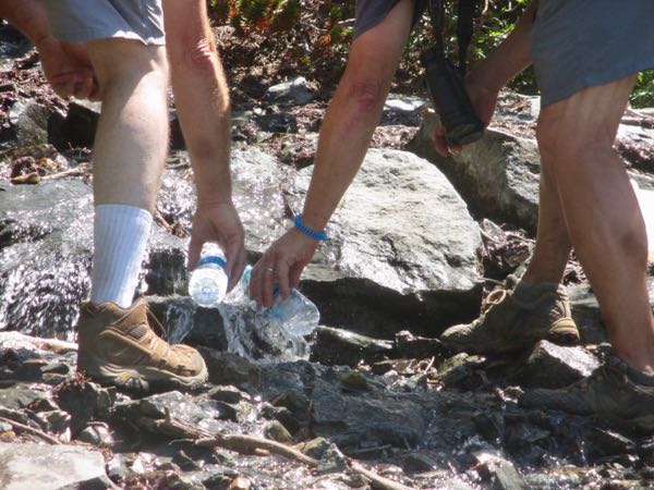
The way we kept Nine-Year-Old moving ahead (and ourselves) was the promise of water at Chihuahua Bowl.
Trail Guy and The Farmer filled all our bottles.
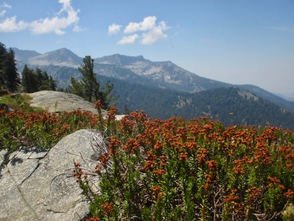
The views were wonderful, and we were thankful to plop down and eat our lunches. The Heir packed cold barley pop for his family, which I thought was a fitting complement to the Hot Tamales which kept Nine-Year-Old moving forward.
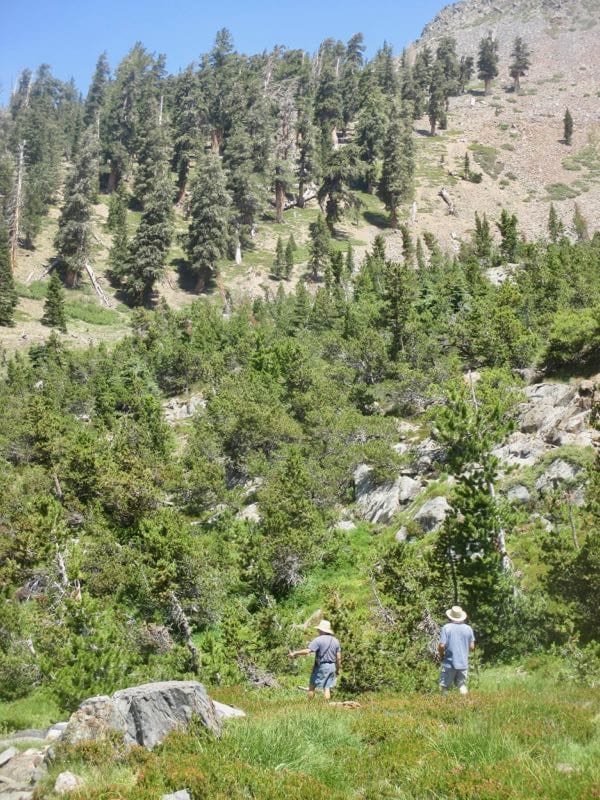
NOW where are they going?? Oh. Scouting out a route to the Crystal Lake trail so we don’t have to bushwhack back the same way we came.
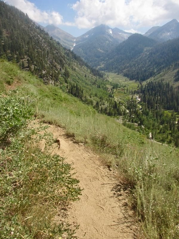
It has been years since I went to Crystal but I remember the rough trail past Chihuahua, up over that ridge ahead, down through the part where you can see Cobalt Lakes below, and then back up to Crystal. It isn’t a trip for the weak-minded or weak-bodied.
What’s going on here?? I thought the difference in mileage between the lakes was 4/10 of a mile, not 2/10. Did Monarch get pushed farther out, or did Crystal get pulled closer? My memory says that Crystal is farther than just another 1.4 miles from this junction.
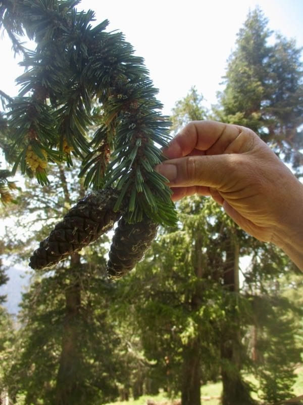
Trail Guy and I went toward Monarch briefly because I remembered seeing a tree along the trail a few years ago that I couldn’t identify. Turns out it is a foxtail pine, and I didn’t recognize it because it is sheltered from the harsh elements and has grown tall and straight instead of the gnarly warped shape I am used to seeing.
Same view, several hours later, at Groundhog Meadow. “Groundhog Meadow”, as opposed to Marmot Boulderfield.
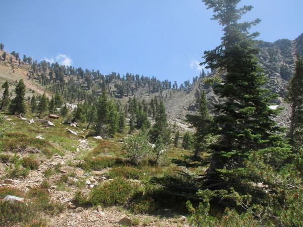
This trail is hot, dusty and steep. Any time I am trudging back down it in the heat of the day, I question the wisdom of day hiking on this side of the valley.
A group of 14 very fit and fairly grumpy Sierra Clubbers passed me up. I might be grumpy too if I had a 6 hour drive back to a city.
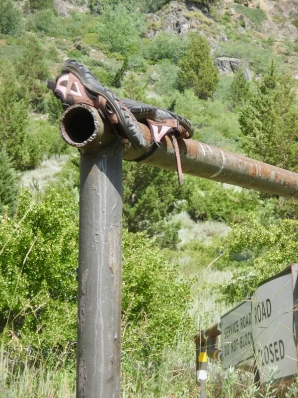
Someone forgot their shoes. They might be my size. If not, I’ll send them to Provision International.
I got only as far as Marmot Boulderfield, but my friend and I enjoyed the hike. Well, except for the steep part. Which is pretty much all of it. But the valley views are stunning! Wish I could upload a few of my own photos here.
62 floors climbed! I wonder how many floors or flights of stairs to Chihuahua. . . and if you send me your photos of the Marmot Boulderfield, I’ll share them on another post, with your permission. Thanks, Sharon!
6 Comments
Sharing your trips to out-of-the-way areas in MK are so good, Jana. Thank you.
Thank you, Louise! And you and Nadine showed me the best one, but I never reveal the name of it. Didn’t go this year either.
You got it! Picking out the good ones now! (I only ask for photo credit).
P.S. I’m definitely an ISTJ. I’m not creative enough to see anything or anyone in rock formation, ridges, or shadows.
I got only as far as Marmot Boulderfield, but my friend and I enjoyed the hike. Well, except for the steep part. Which is pretty much all of it. But the valley views are stunning! Wish I could upload a few of my own photos here.
62 floors climbed! I wonder how many floors or flights of stairs to Chihuahua. . . and if you send me your photos of the Marmot Boulderfield, I’ll share them on another post, with your permission. Thanks, Sharon!
Comments are closed for this article!