Deciding what to paint for the Silver City Store this coming summer felt like a daunting task. There is no excuse for procrastination, and the better I plan, the better the sales. So, suck it up, Buttercup.
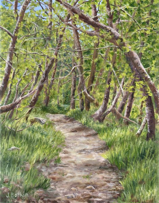
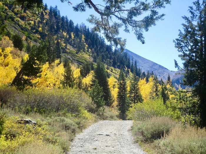
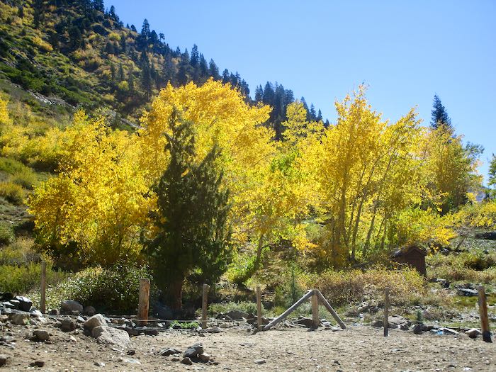
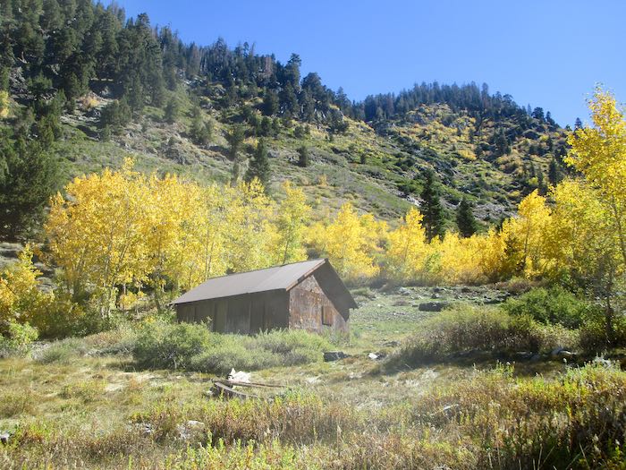
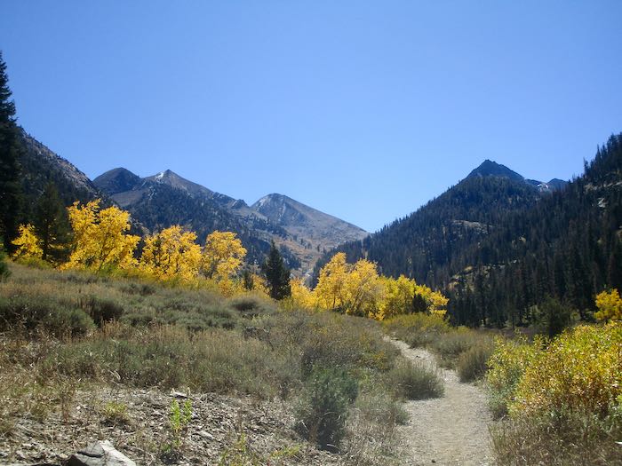
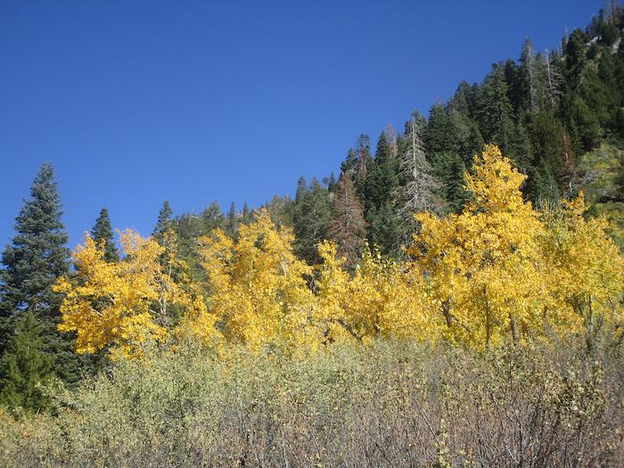
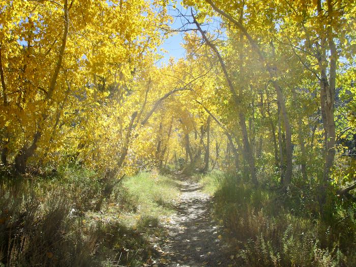
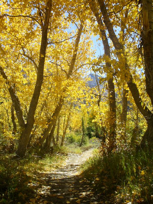
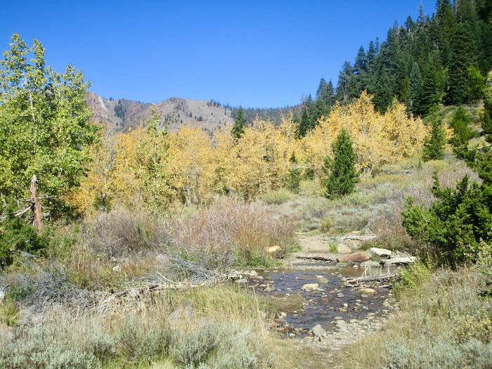
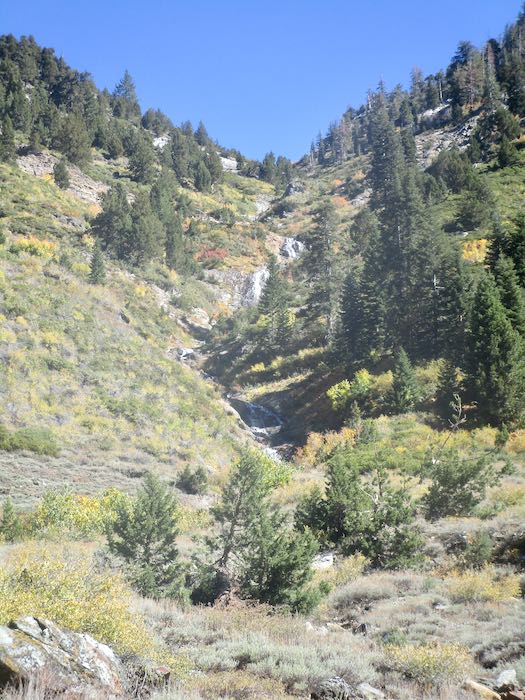
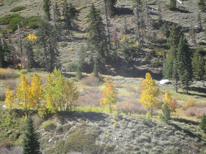
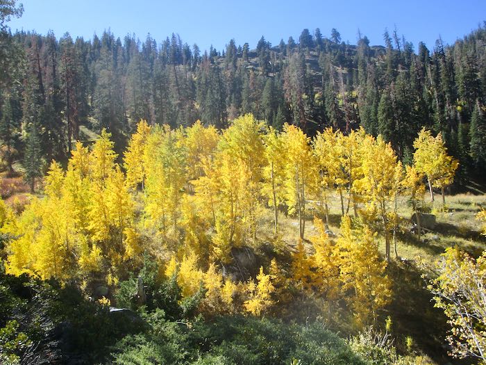
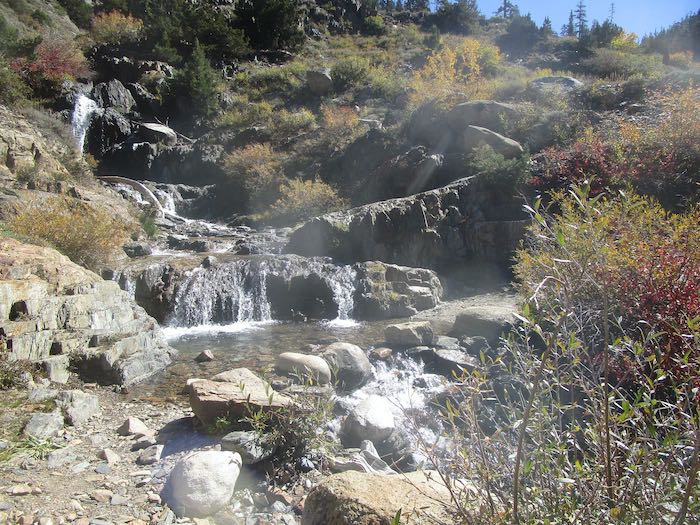
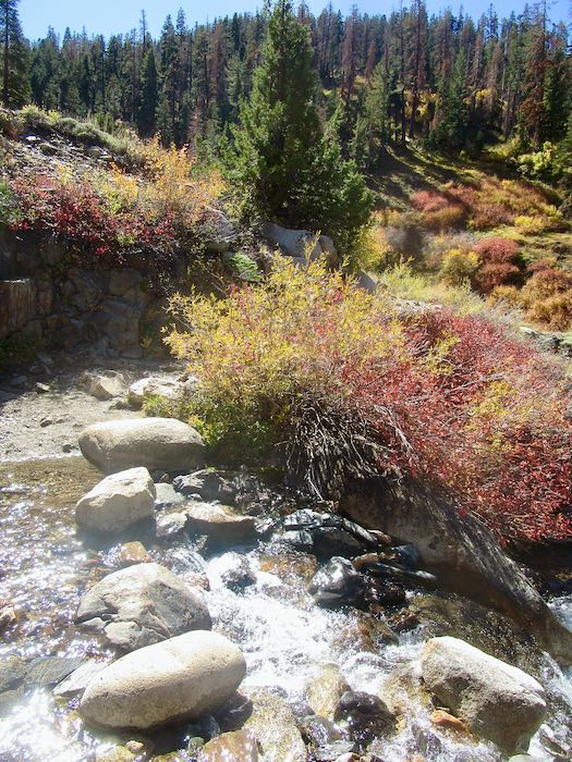
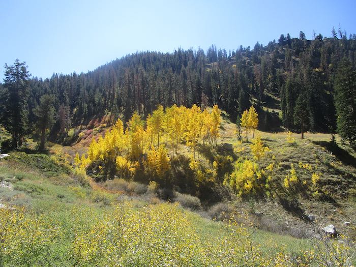
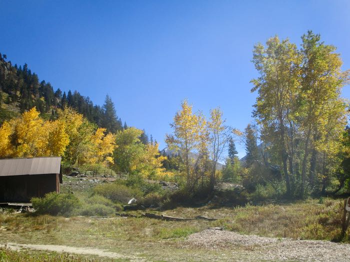
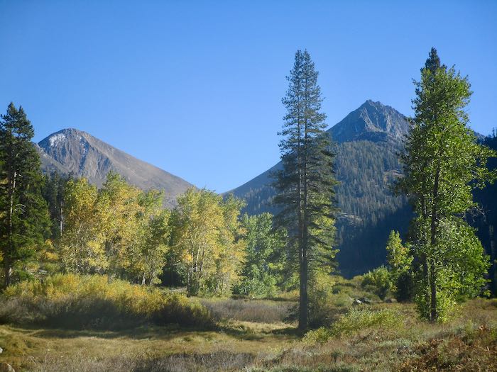
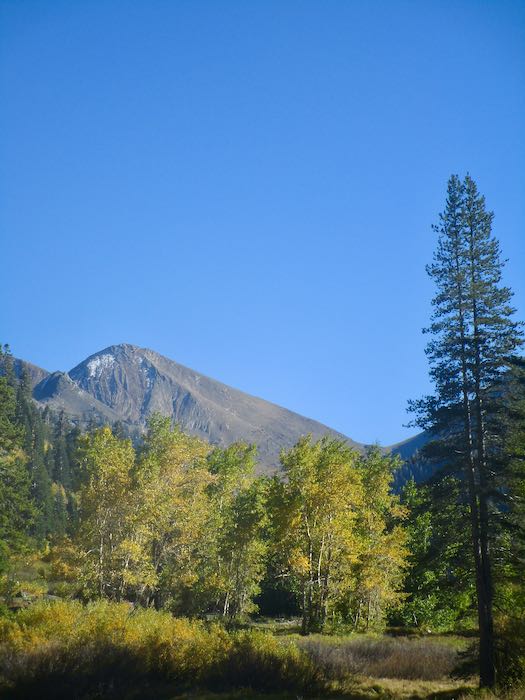
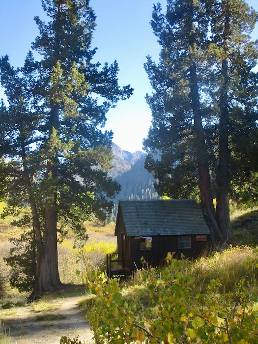
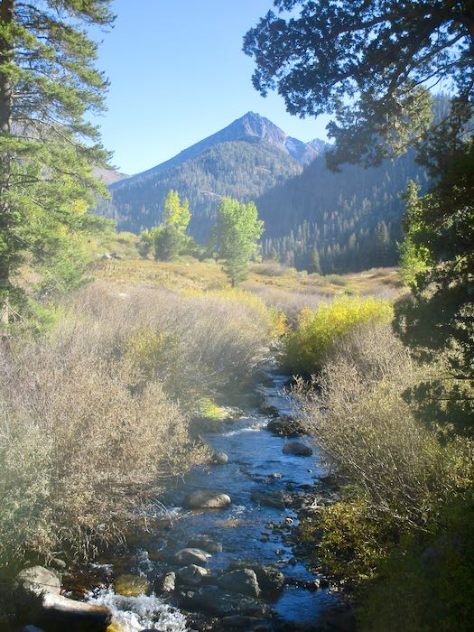
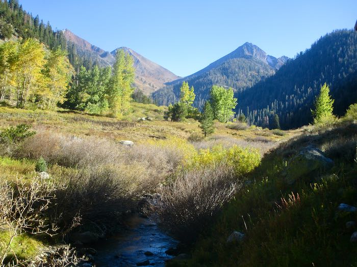
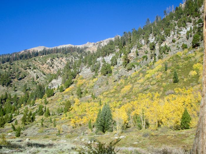
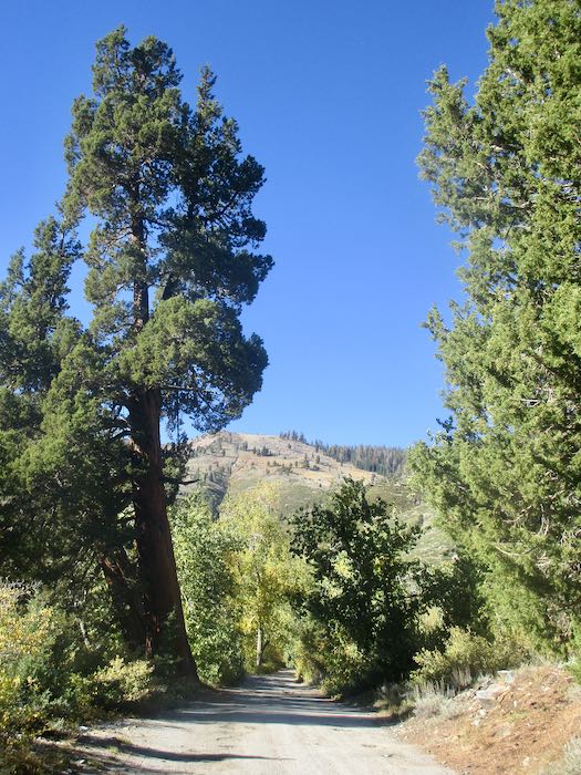
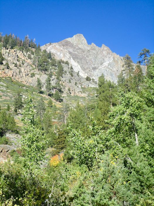
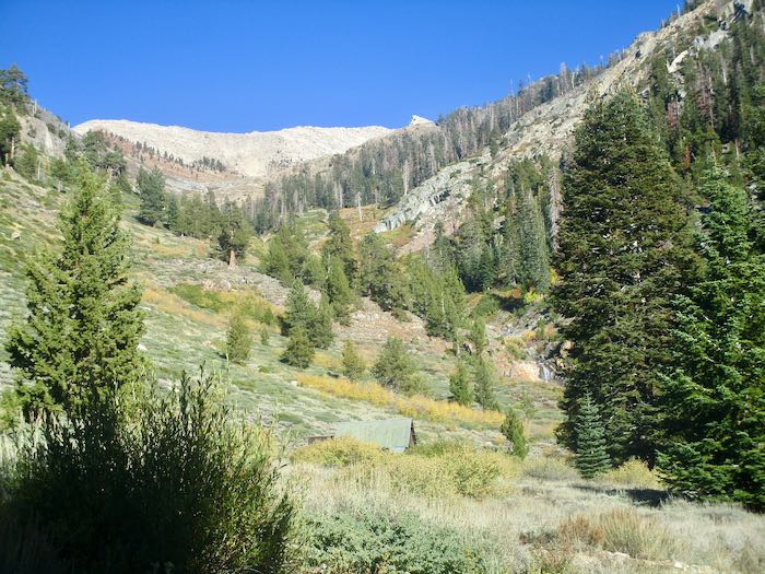
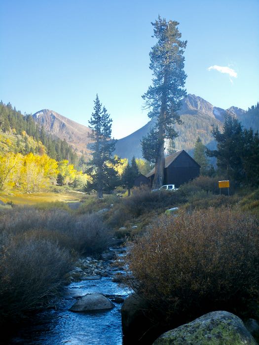
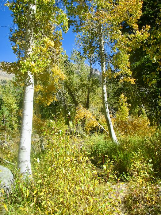
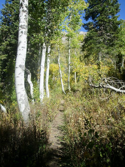
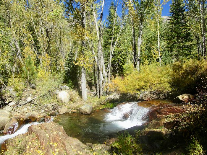
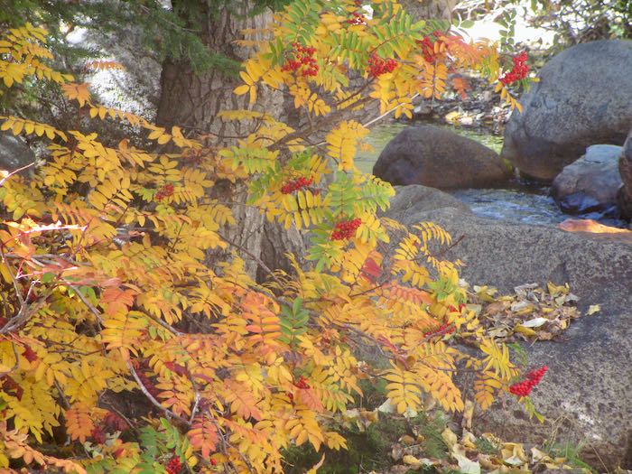
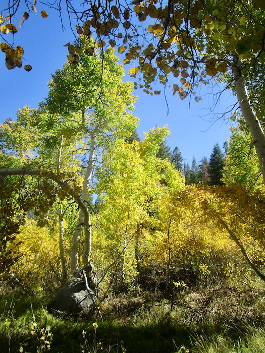
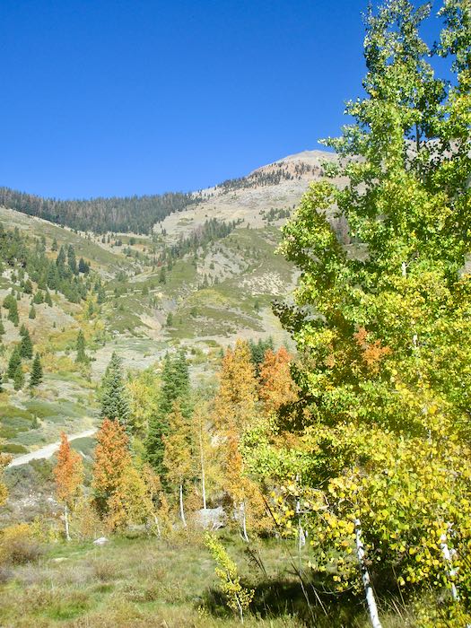
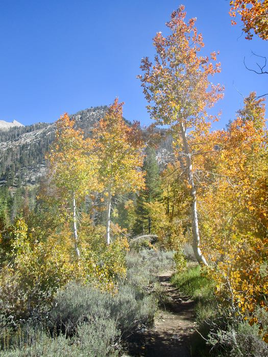
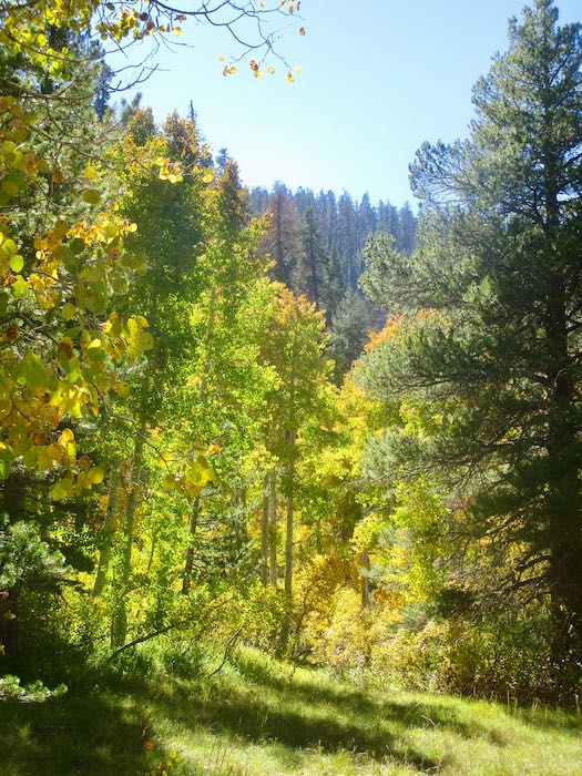
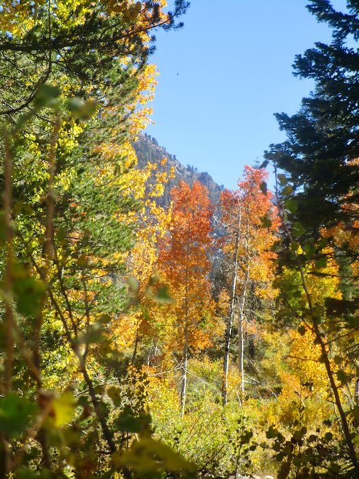
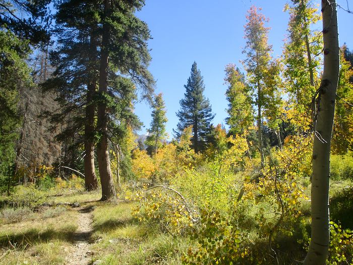
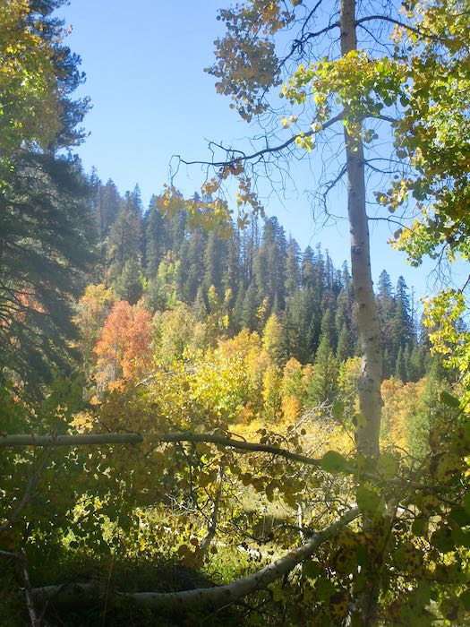
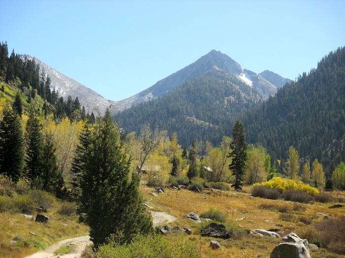
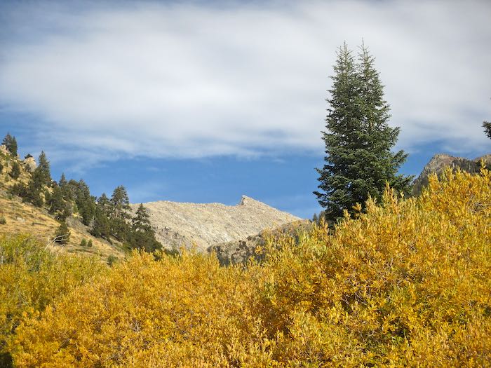
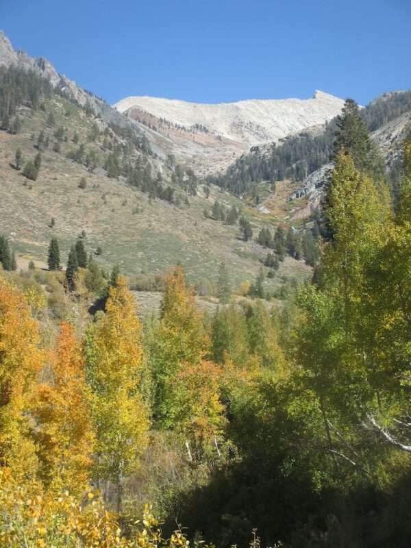
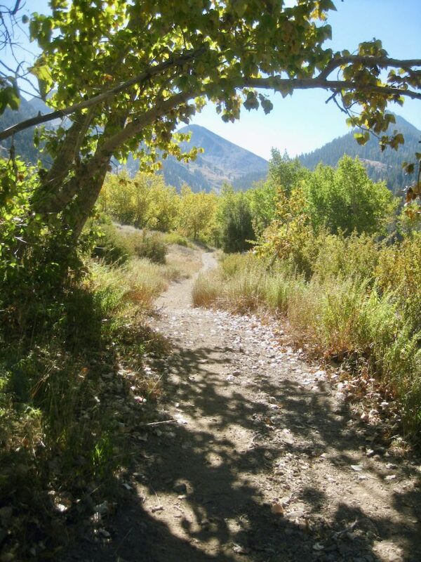
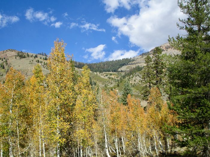
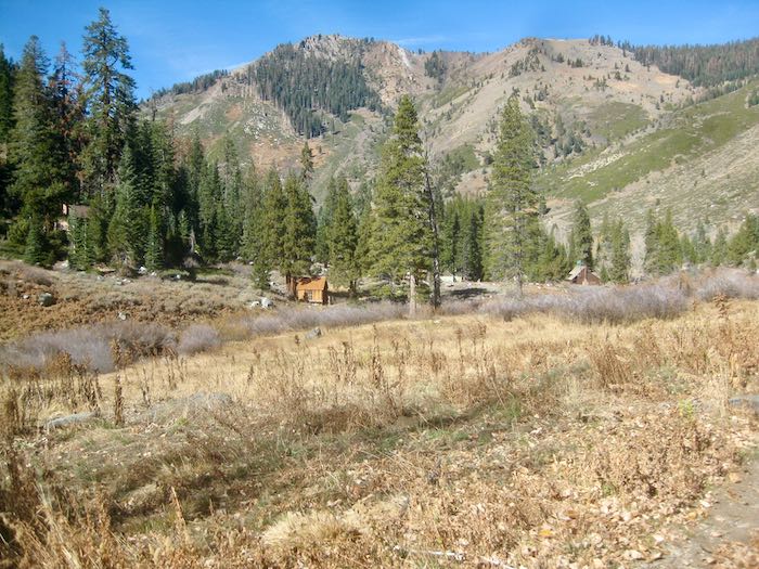
The first step in planning is to look at the available Mineral King paintings. (For my out-of-the-area readers, Mineral King is a beautiful alpine valley in Sequoia National Park; each summer I sell art 4 miles below the valley at a resort in a little cabin community called “Silver City”.)
It also involves evaluating how many paintings sold, both by subject and by size. I am painting to satisfy a clientele, rather than just doing whatever “moves” me. Thank goodness it is all very beautiful.
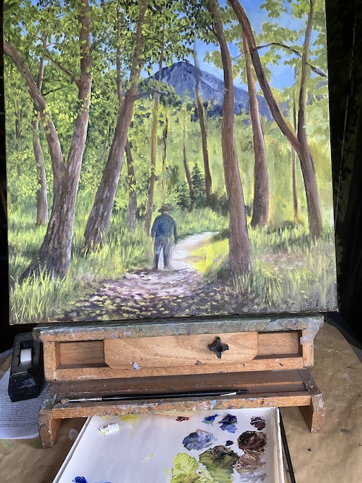
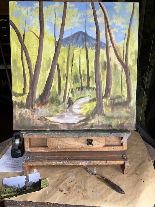
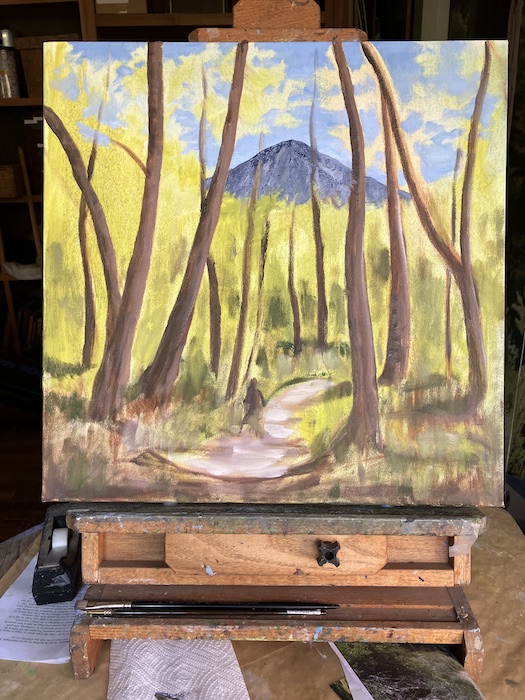
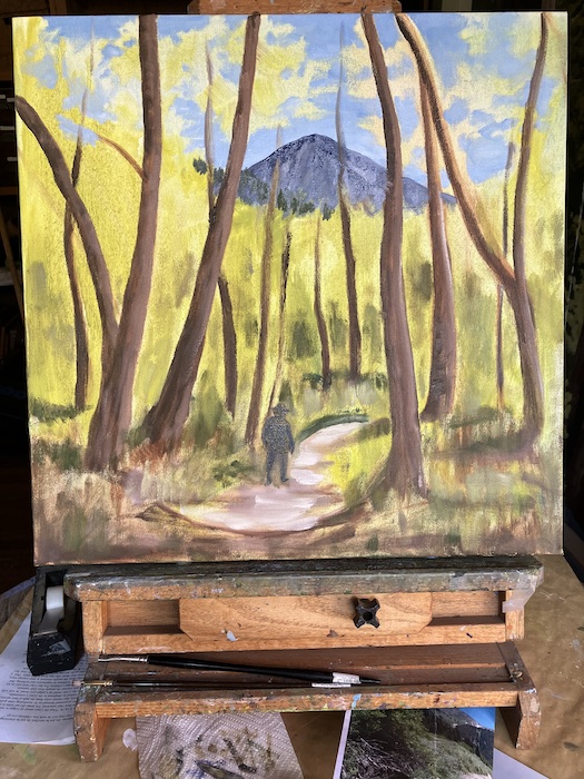
This planning part isn’t so beautiful. It’s methodical, tedious, and would be easier if I had a crystal ball. Instead, I have records, intuition, common sense, and piles and piles of photos, both the paper variety and on the laptop.
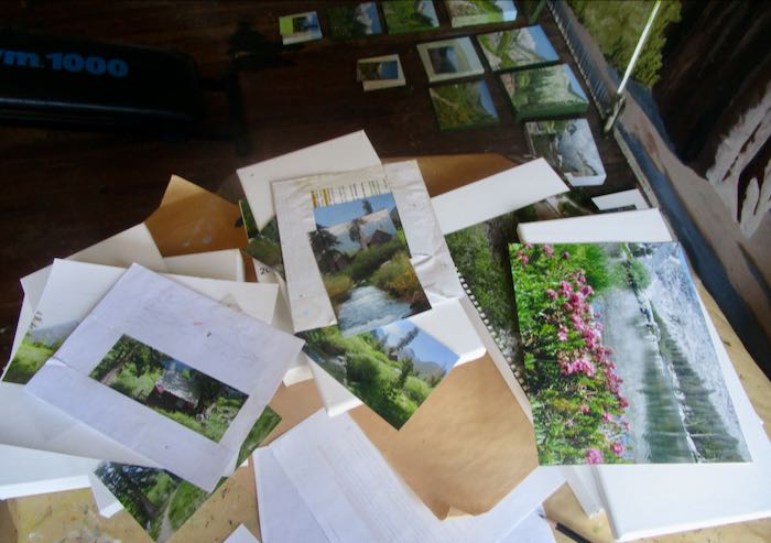
It is helpful to line them out by subject and size.
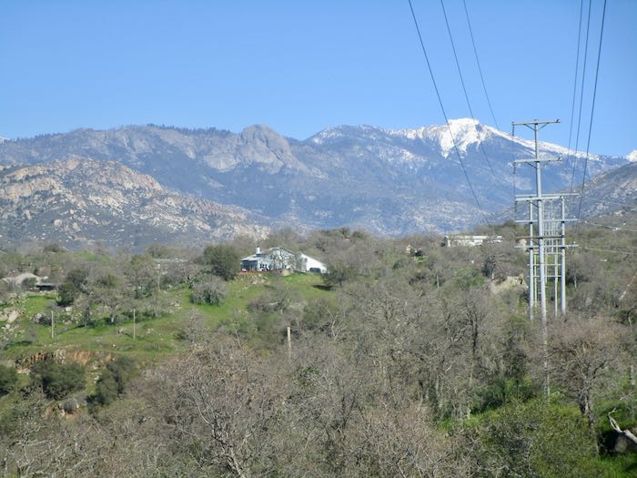
It is also helpful to take a break and walk somewhere. (No powerlines in Mineral King or Silver City to clutter the views up there, because it is remote, the Land of No Electricity.)
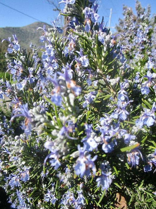
Rosemary in bloom. . . so far this year, February has been impersonating spring.
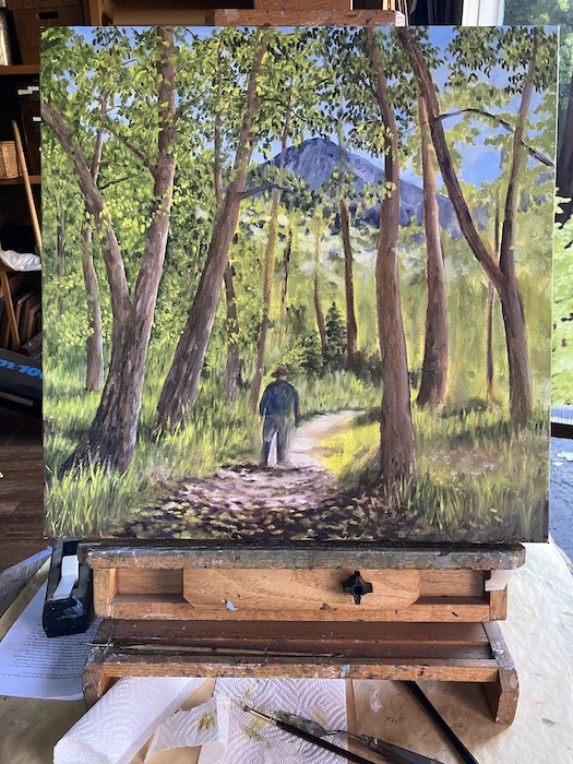
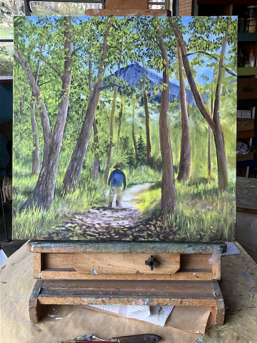
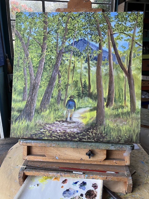
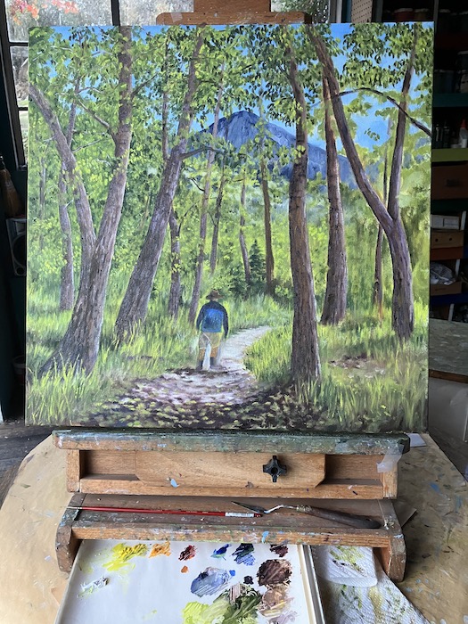
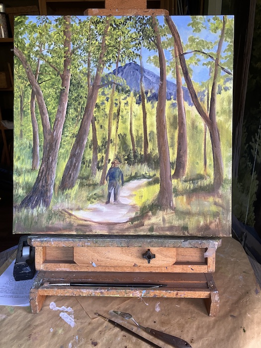
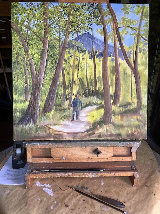
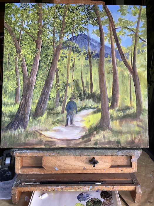
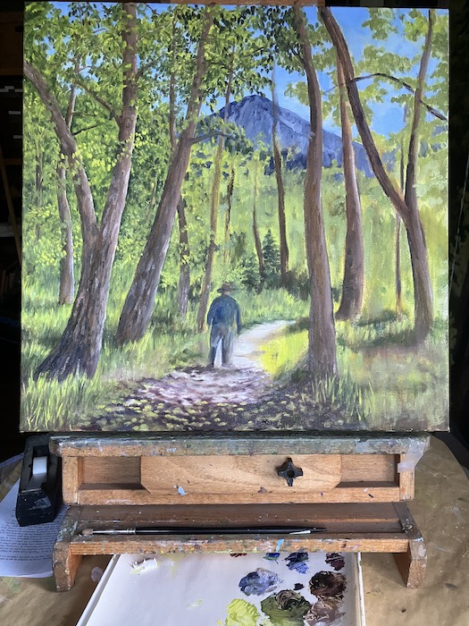
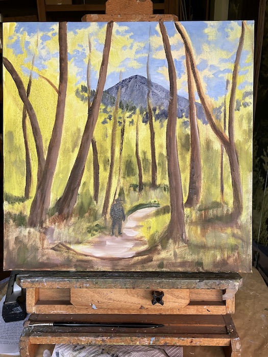
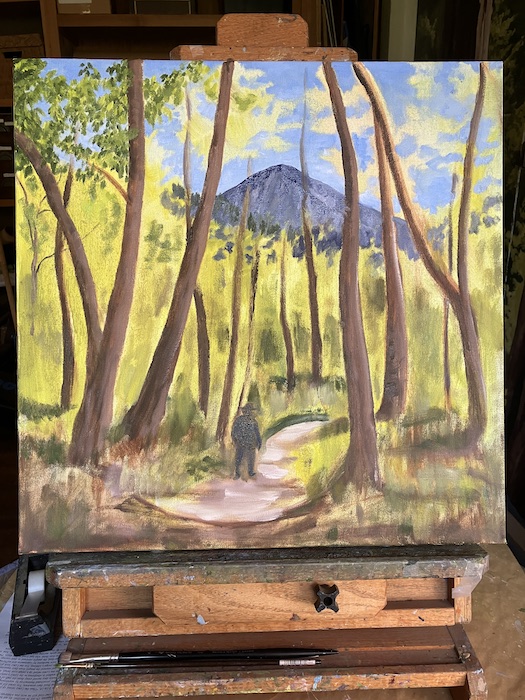
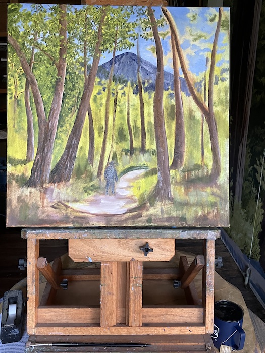
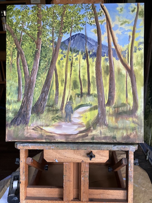
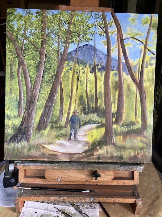
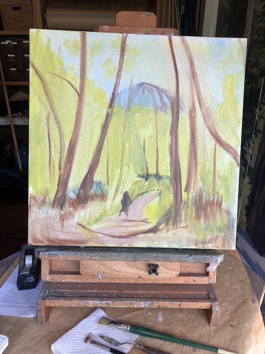
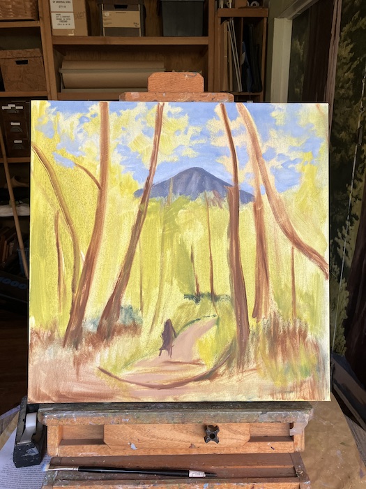
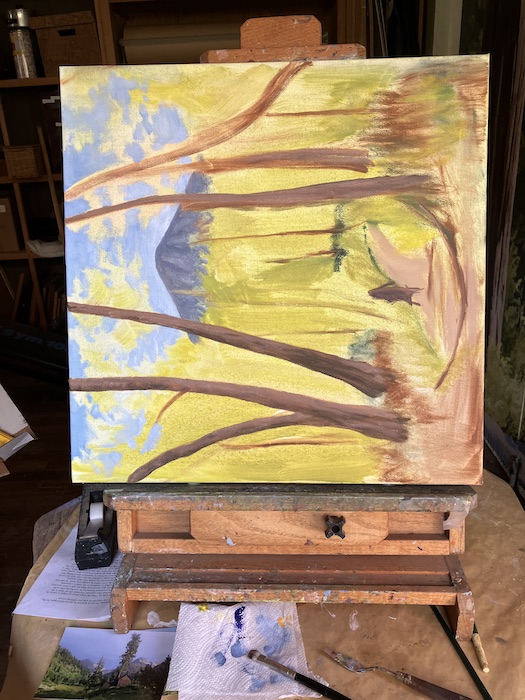
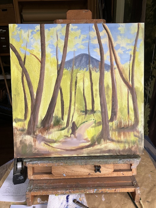
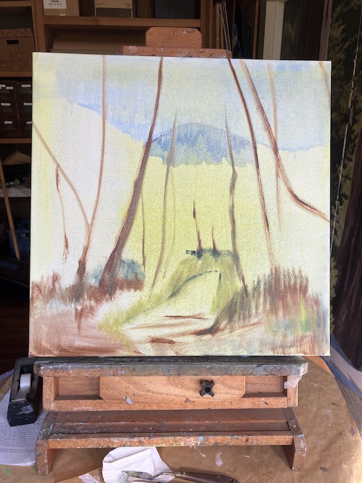
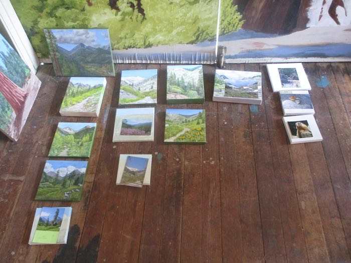
Now I have ten new paintings to produce, ranging in size from 6×6” to 8×16” and 10×10”.
I’ve attached hanging hardware and assigned inventory numbers. Next I need to give them titles, such as “Sawtooth #209”.
Not really; I think it is only somewhere in the 60s.