If you receive these posts in email and the pictures in the post don’t show for you, tap here janabotkin.net. It will take you to the blog on the internet.
Rocky Hill is private land, in the hands of several people. One of those people is a friend, and she arranged for us to go to the very top. I had asked her if we could have permission to climb it with The Farmer and Hiking Buddy, and she said she has access to the top and can take people, and yes, she would love to take us up. Then Tulare County had a flood.
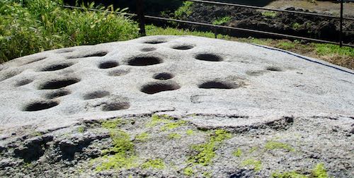
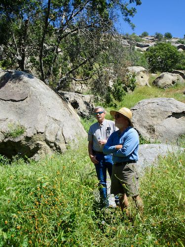
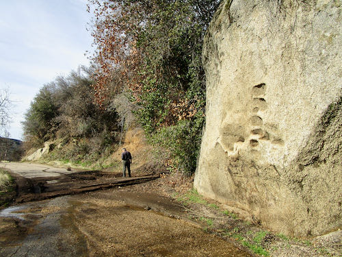
After things settled down from the flood, we learned of a tour to see the pictographs on Rocky Hill. Our friend was part of the tour, and she suggested that we go to the top for lunch after the tour. You betcha!
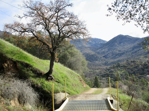
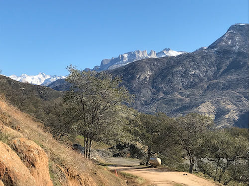
Get this: there is a paved road to the very top of this big rocky hill, and by “big” I mean 5 miles in circumference and 3 miles in diameter (not sure where that got measured). Friend has a key, of course, and we loaded up chairs, a table, lunch, and ourselves, and headed up. And up. And up some more. 2.4 miles, specifically.
Friend had laughed to herself when I asked if we could climb it. She later told me she wasn’t having any part of climbing but was happy to drive up with us.
It was so very very perfect. Very very very perfect. A perfect way to spend the afternoon. Perfection.
Shut up, Central California Artist and show some photographs!
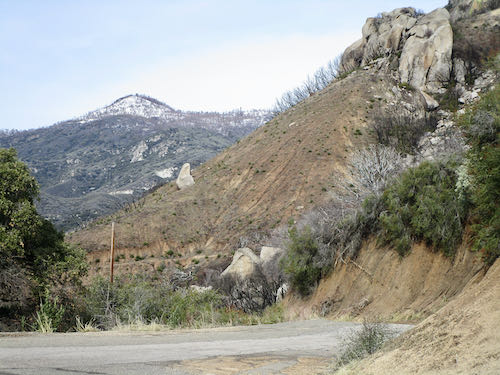
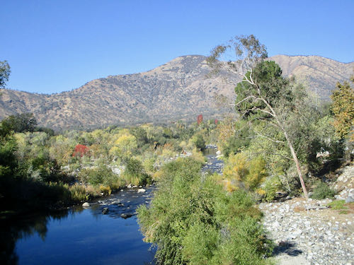
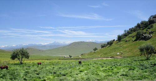
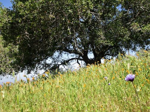
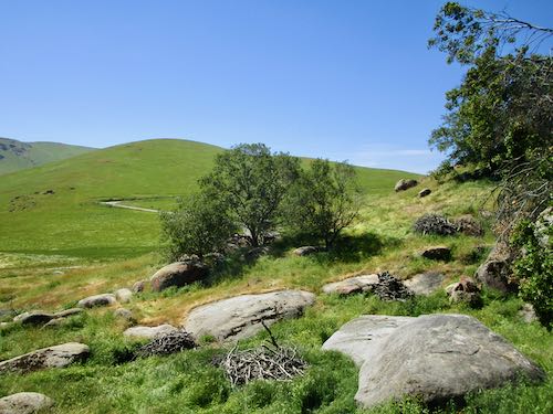
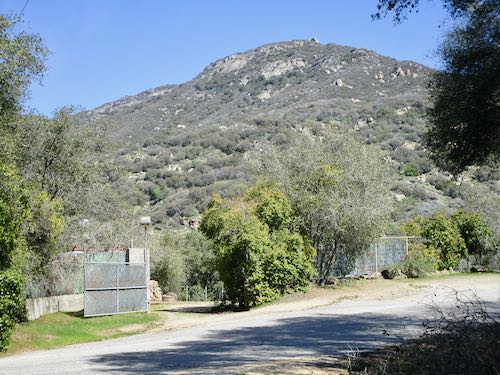
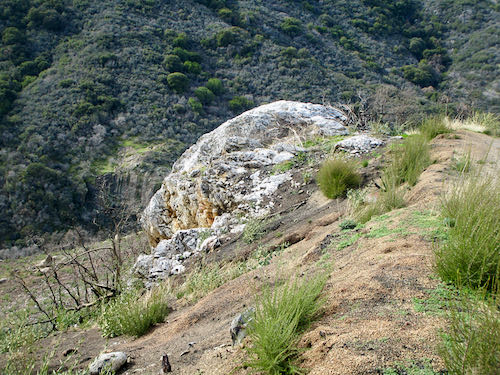
At the base—the hill sloping into the frame on the right is Rocky Hill.
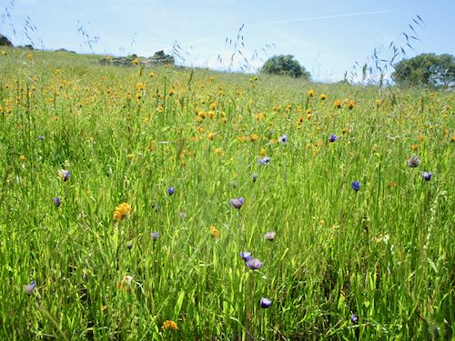
That blue line is the Friant-Kern Canal. The wildflowers are mustard.
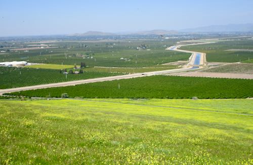
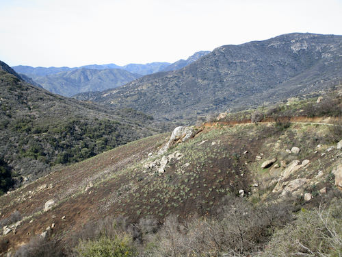
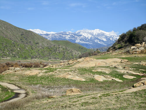
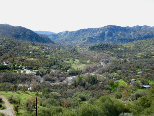
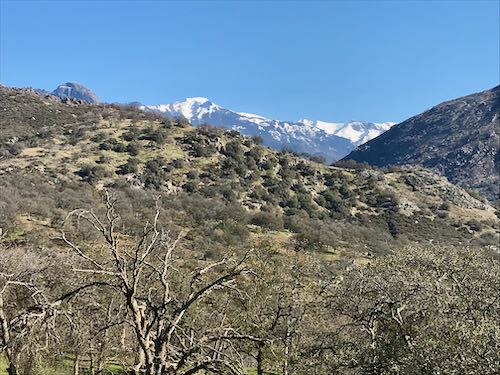
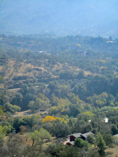
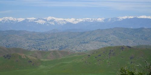
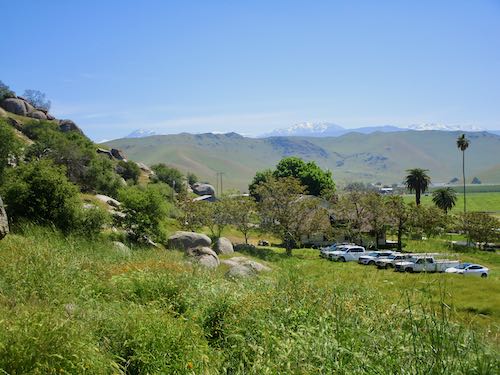
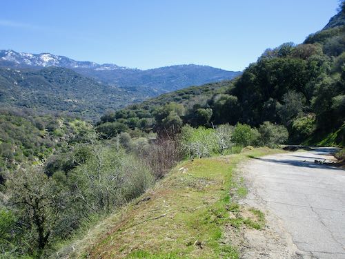
This is looking west.
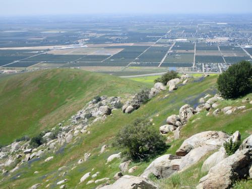
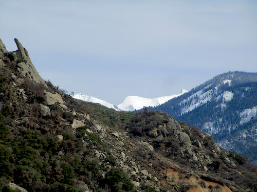
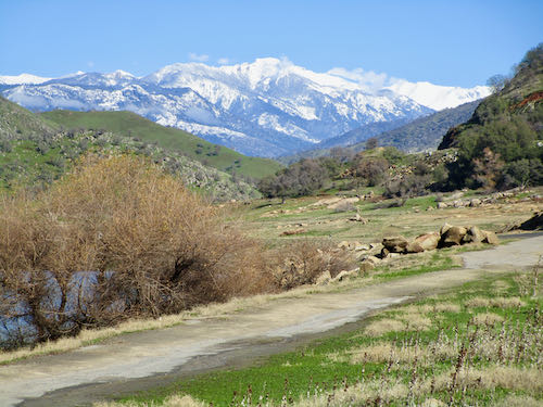
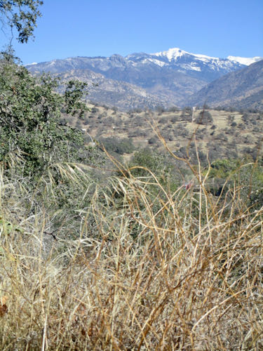
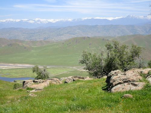
And this is the unparalleled view of the Sierra. (Lots of people say “the sierras”, but it is the Sierra Nevada Mountains; thus “the Sierra” is the correct shortened term. You’re welcome. P.S. My dad taught me that.)
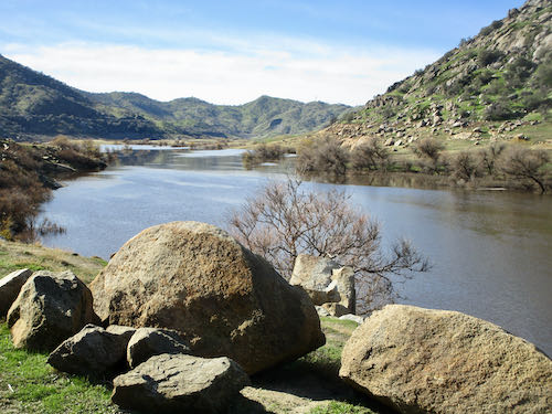
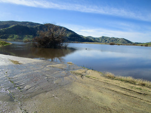
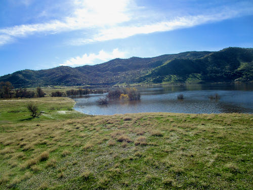
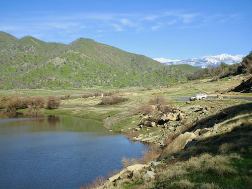
The tiny blue piece of water is actually called “Hamilton Lake”, and only appears in wet years.
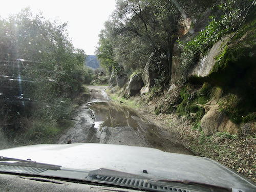
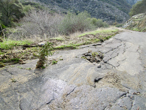
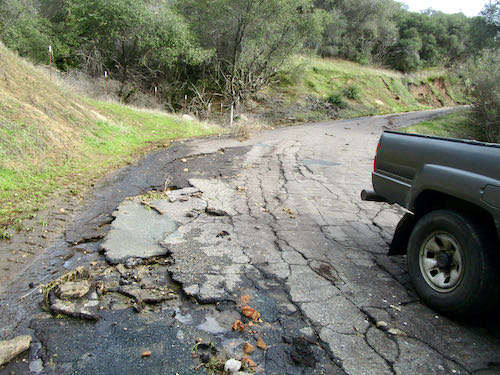
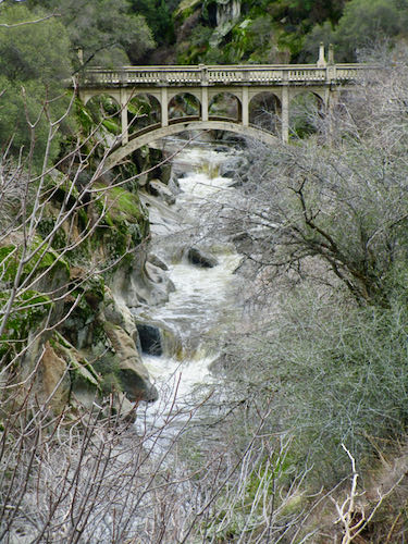
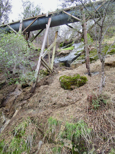
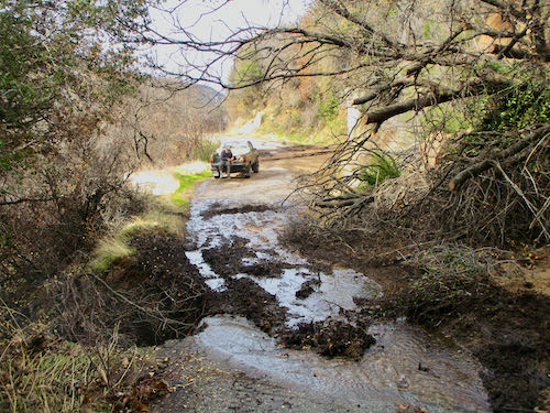
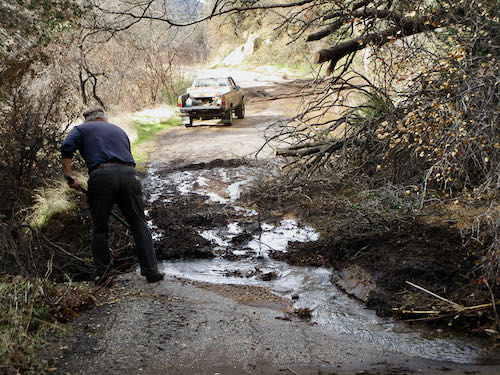
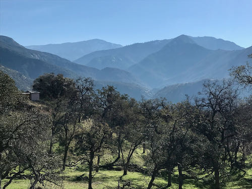
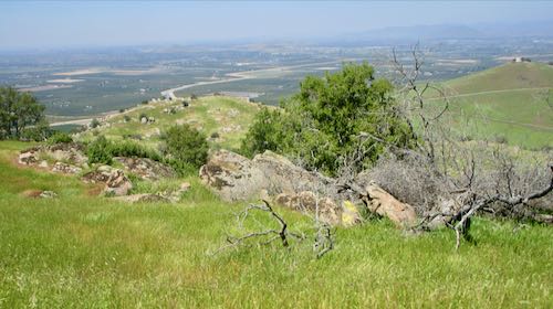
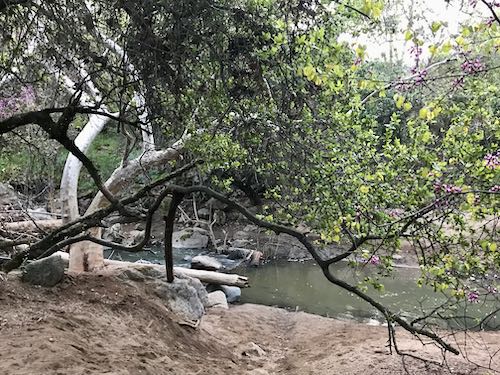
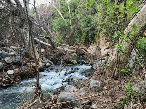
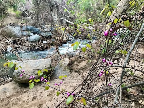
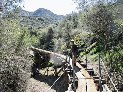
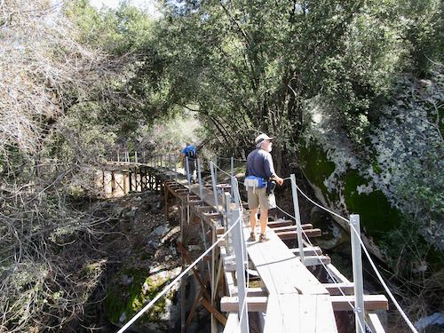
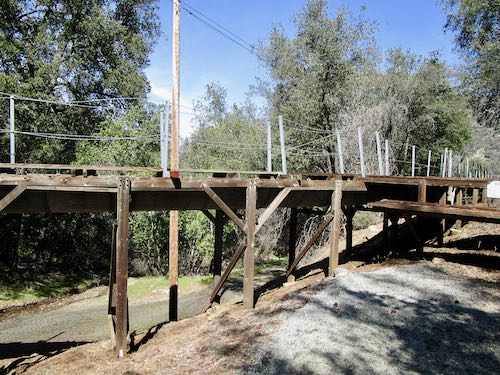
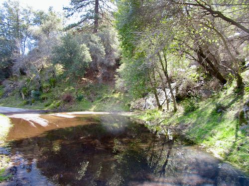
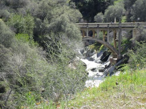
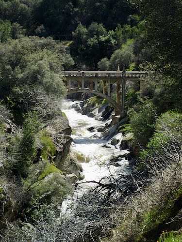
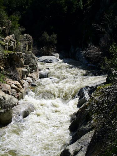
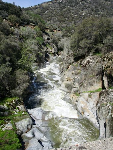
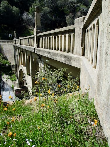
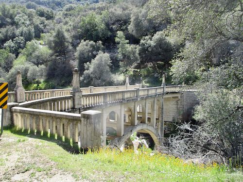
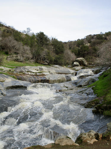
The creek in the distance is Yokohl Creek, which did some real damage during the flood. People used to be able to remove sand from beneath the bridge, but some other people made them stop (for very petty reasons). Since then, the sand has piled deeper beneath the bridge and as a result, the creek flows very close to the underside of the bridge, which means debris builds up quickly during high water and then the water finds its way around the bridge, washing out the approach. Water always finds its way. (Ever heard of “unintended consequences”?)
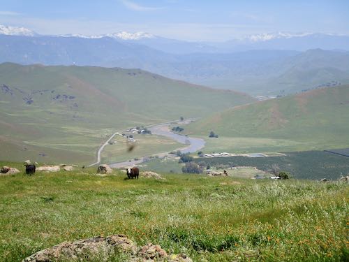
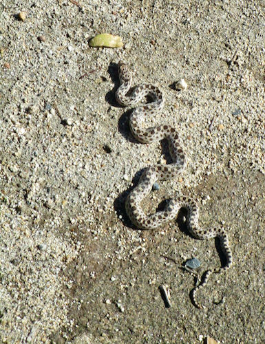
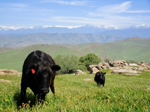
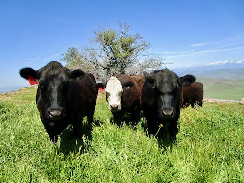
The cattle were curious, as cattle can be. (Remember this? – scroll down to see)
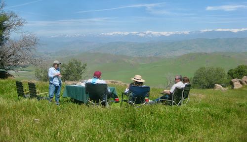
Friend provided an excellent picnic lunch, so very generous, oh so good.
Through this tree is a black cow fixin’ to deliver a calf soon.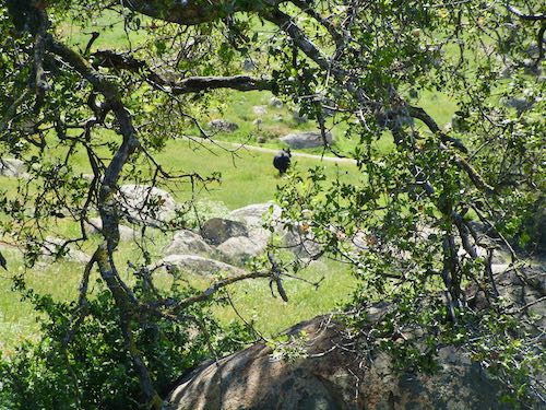
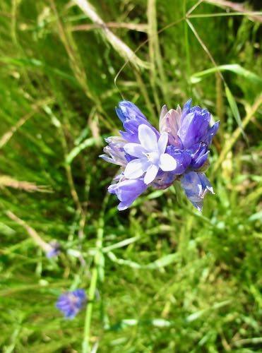
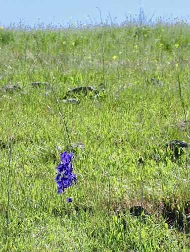
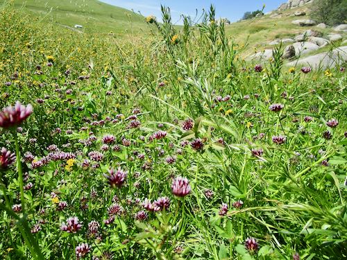
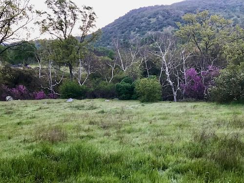
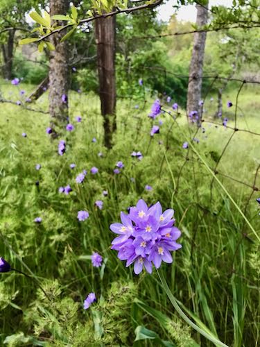
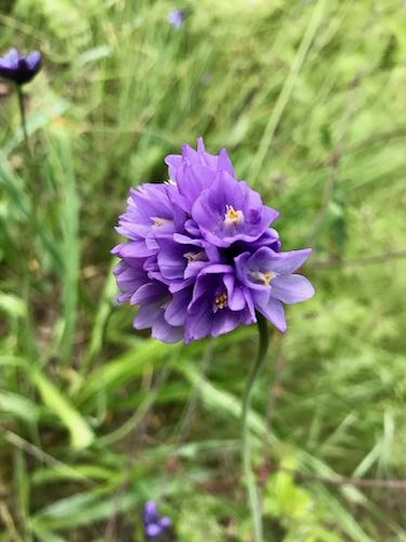
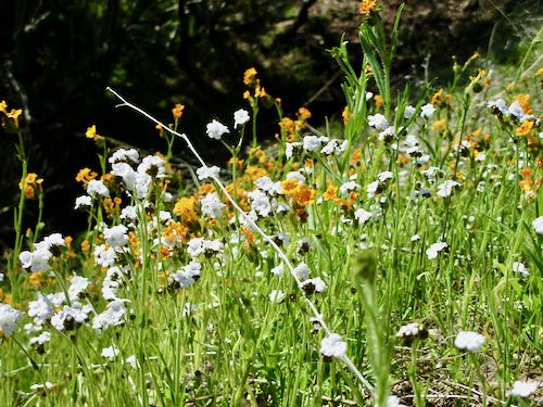
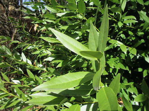
This was the only larkspur we saw.
What a perfect day! Thank you, Friend, for sharing your beautiful piece of Exeter and your heritage with us (and lunch!)
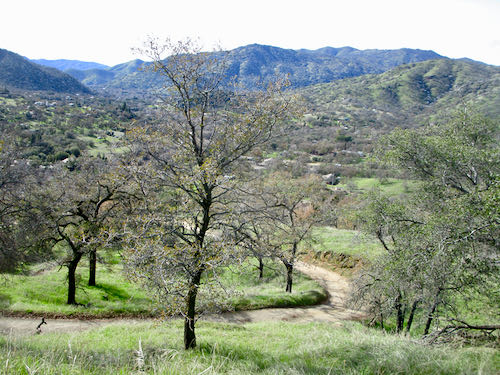
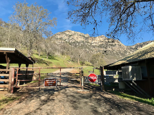
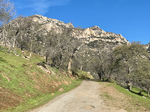
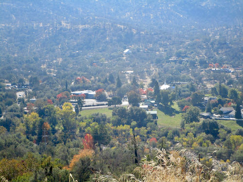
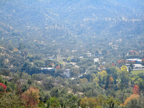
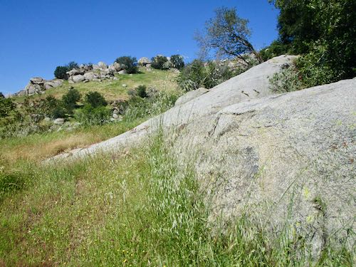
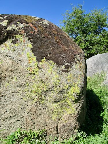
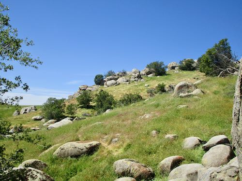
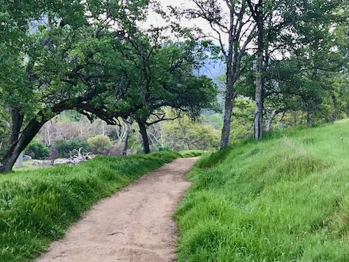
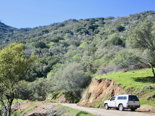
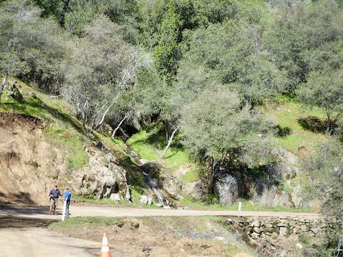
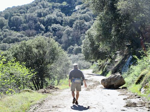
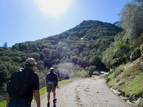
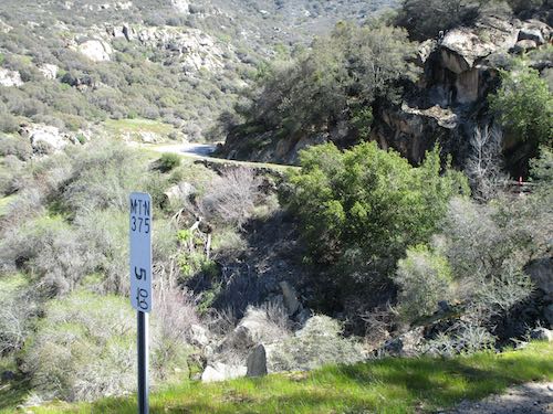
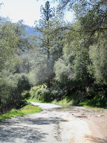
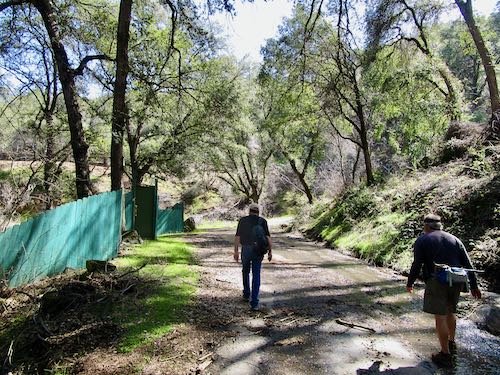
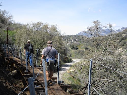
 Rocky Hill is on the edge of Exeter, California, in Tulare County, a well-known, well-loved landmark. It is the only convenient non-flat place to walk, run, or bikeride in the area, and there is a perpetual stream of foot and bicycle traffic up the road. The entire hill is private property, so all the activity takes place on the county road that goes over the saddle between Badger Hill and Rocky Hill.
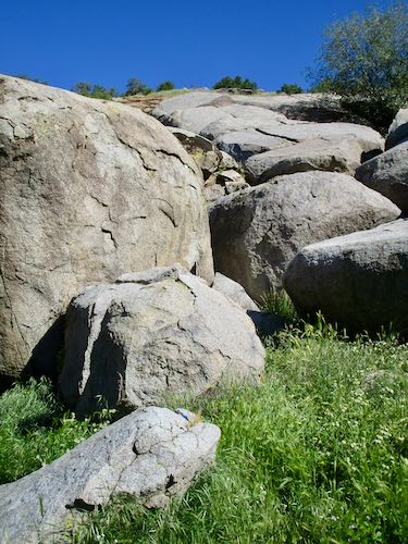
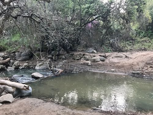
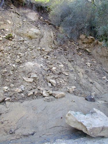
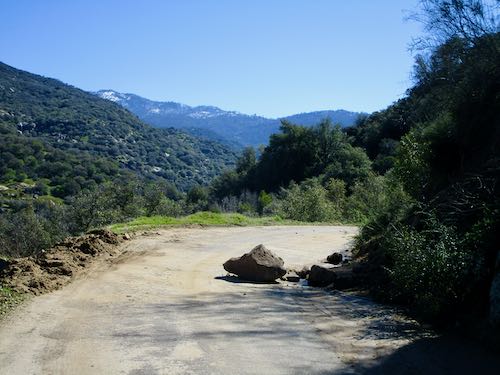
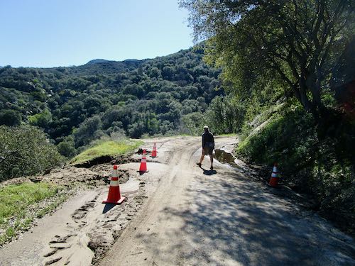
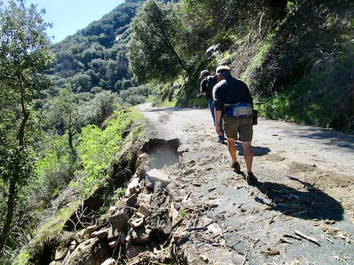
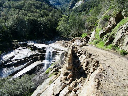
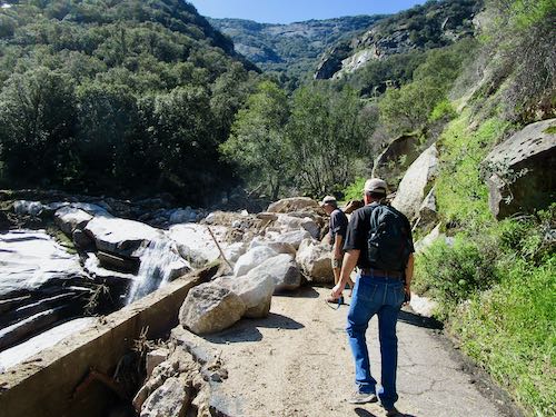
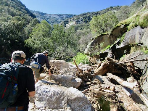
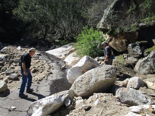
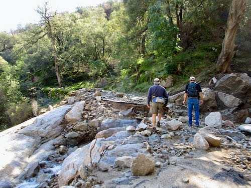
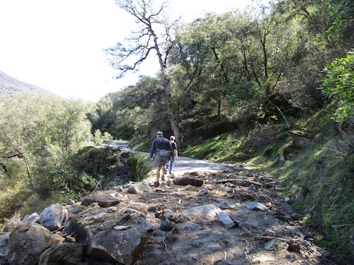
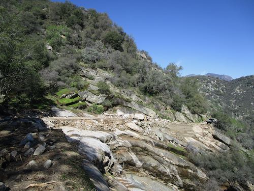
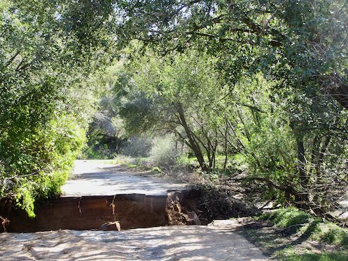
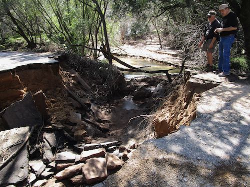
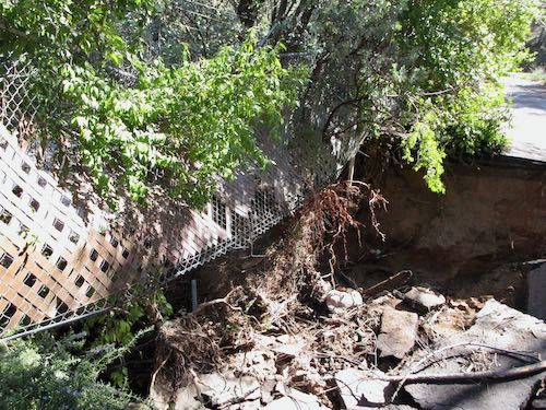
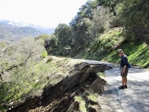
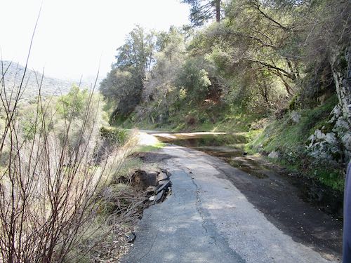
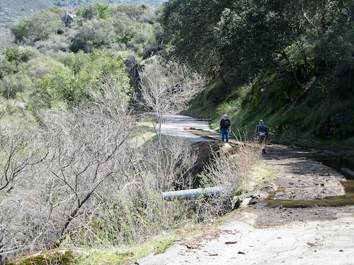
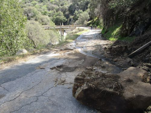
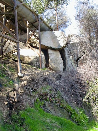
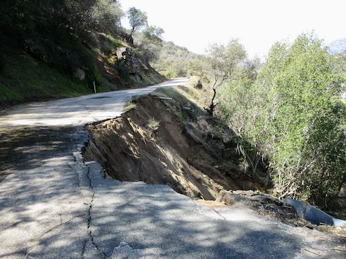
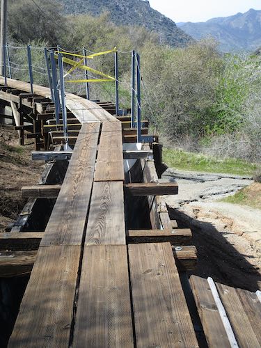
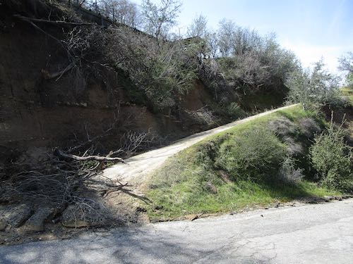
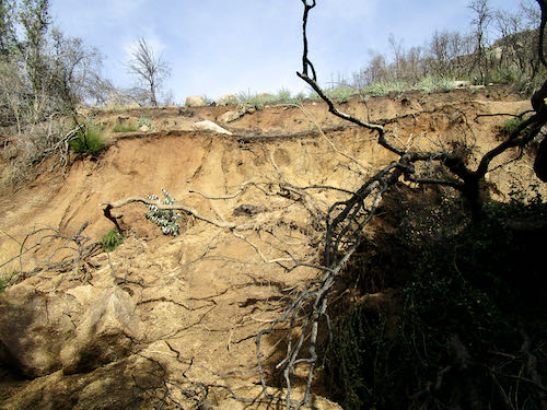

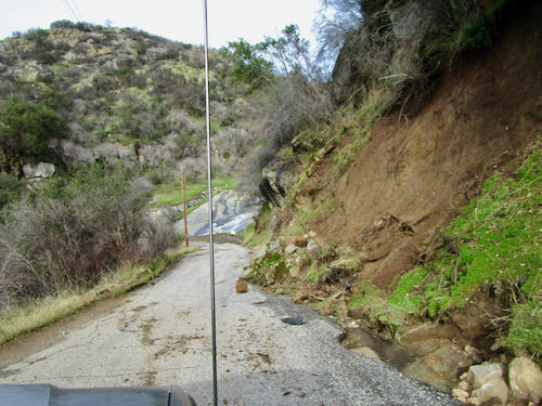
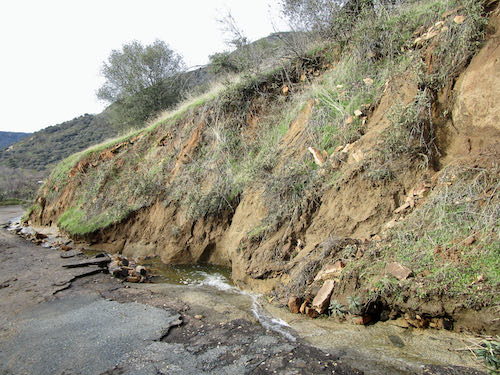
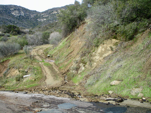
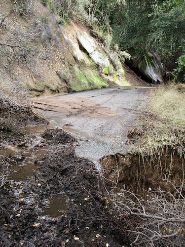
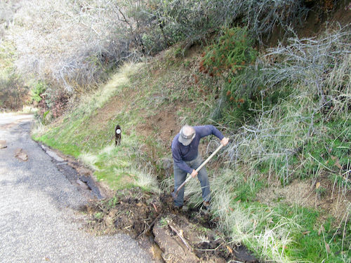
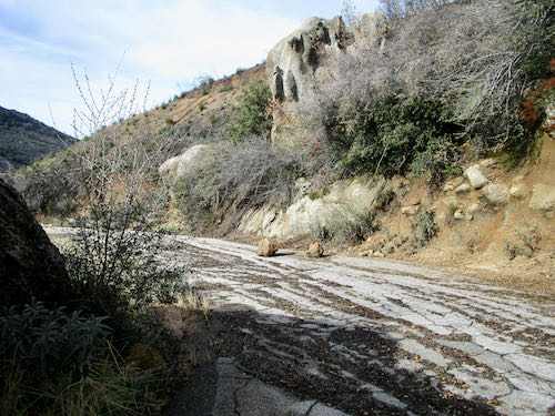
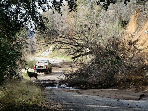
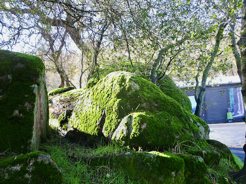
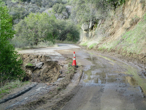 Here is another mess.
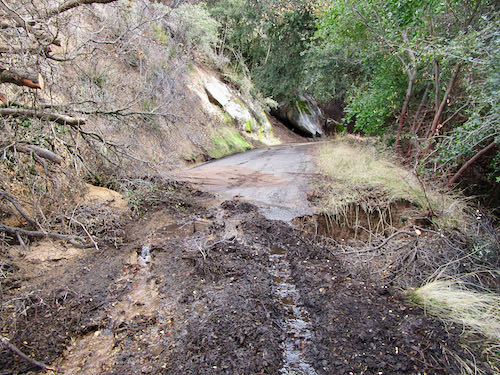