So far, we are having a most welcome wet winter in Three Rivers. This results in Trail Guy and I chasing the sun. In the past handful of winters, we could walk around on the lake bottom (Kaweah Lake, formed by Terminus Dam on the Kaweah River when I was about 4 or 5 years old).
This year, it is flooded. The dam was built for flood control, irrigation storage, and recreation. Right now the focus is on flood control. Before it was built, Visalia, about 30 miles west, flooded. The last big flood was 1955. (I wasn’t born, so I don’t remember.)
This is looking west, walking along the road that used to be the main way in and out of Three Rivers, until the dam was built.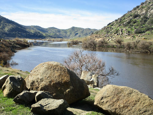
Looks like our short walk ends here.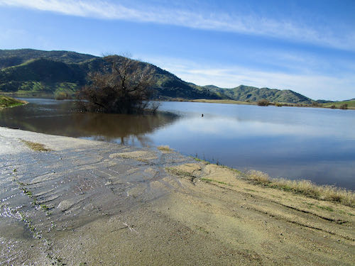
Looks nice and green, but most of the ground around the lakebed is thick with cockleburs. They love socks and frayed hems and gortex shoes.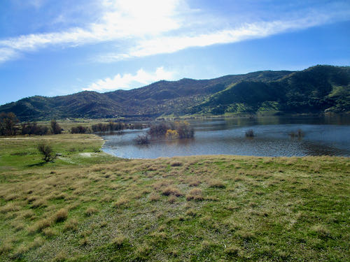
Turning back, this is the view. That’s Alta Peak, also visible from home. Yeppers, that’s the peak with an elephant in profile, visible when there is snow.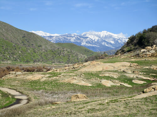
Is this lake or river? How about both. It is where the river meets and becomes lake.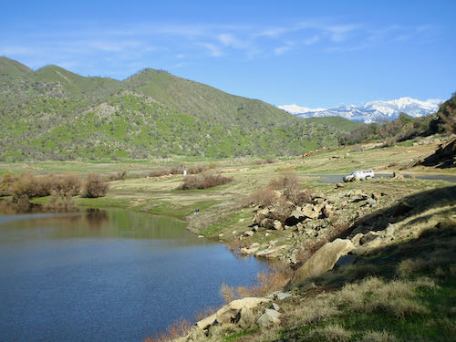
Here’s one last big view of Alta. Can you see the elephant? I showed you in this post back in January last year..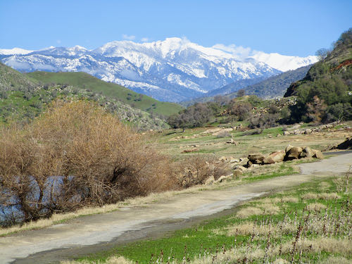
Tomorrow, we will chase the water (damage) in Three Rivers and up the Mineral King Road.
2 Comments
I’m old enough to remember my grandparents driving on the old road before the dam was built in their Chevy station wagon. In fact, if you look at the back side (front side?) of the dam, you can see the road dead-ending at the bottom of the dam. And on droughty summers you can see remnants of the road that normally is under water. (When was the dam built? I’m thinking early 1960s?)
Sharon, I think the dam might have been built in 1964.
Comments are closed for this article!