WARNING: very long post
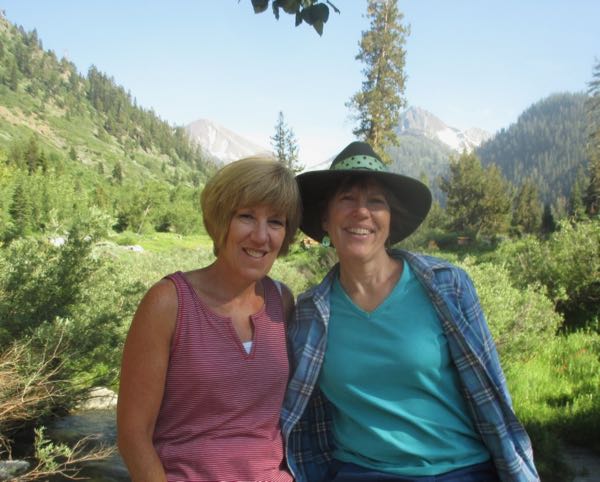
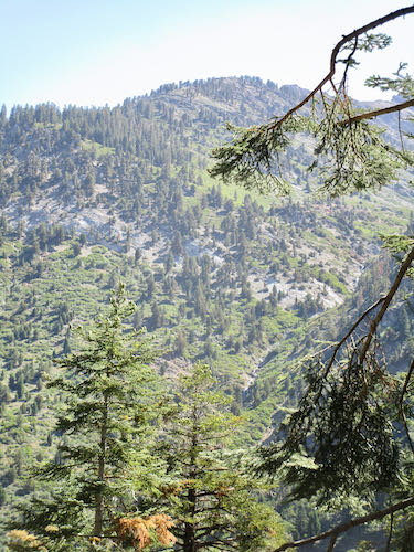
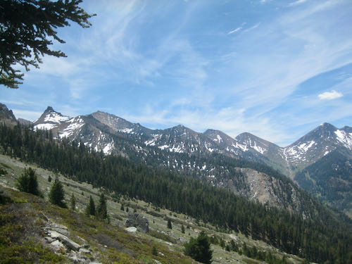
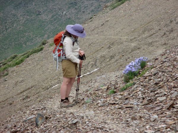
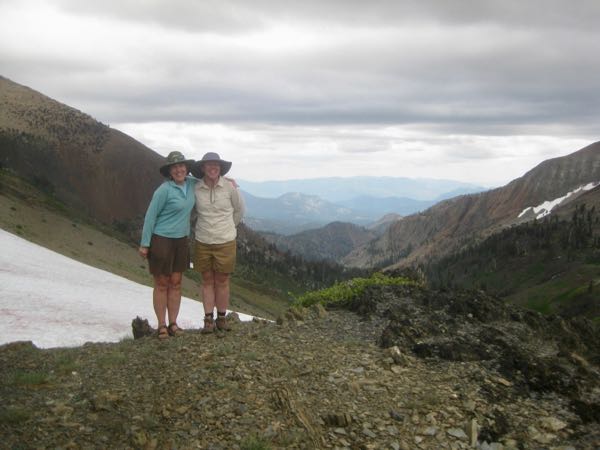
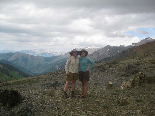
Just a few days ago I told you about Trail Guy hiking to the Franklin/Farewell junction and lamented my lack of hiking this summer. Last Sunday a friend and I decided to go to the Franklin/Farewell junction, because I really wanted to see it at least one more time in my life. (yes, being a bit dramatic here). I figured I could turn around if my feet started objecting too loudly (or perhaps wear ear plugs?)
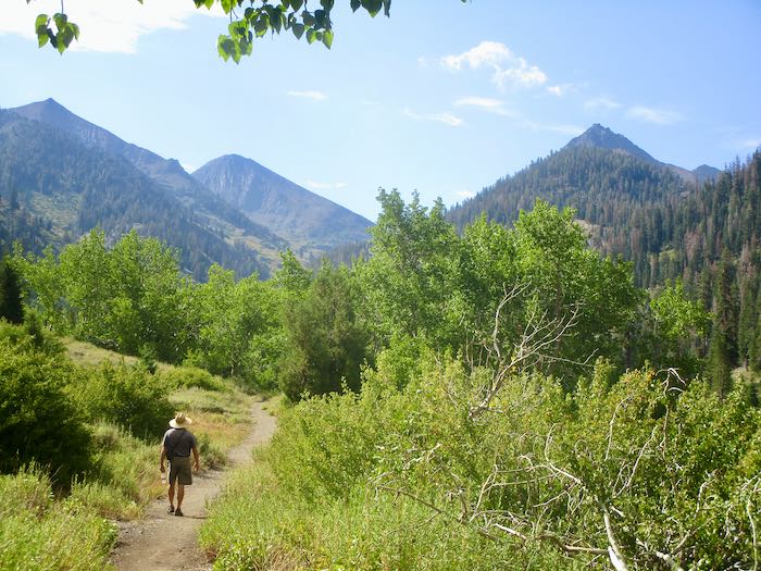
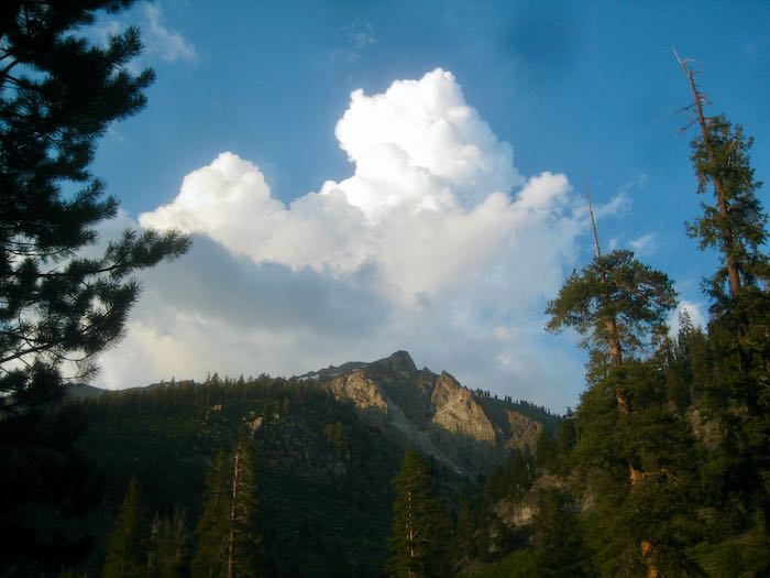
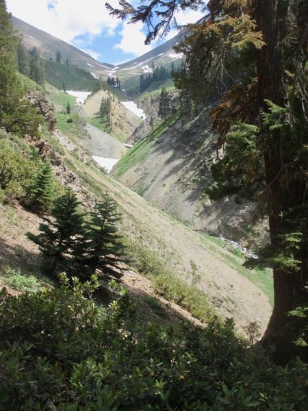
The previous day had a terrific storm, but looking toward Farewell seemed clear, so K and I took off, (along with Trail Guy for the first mile or so.)
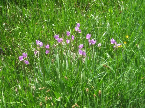
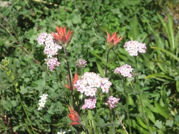
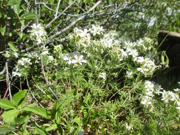
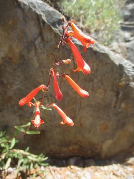
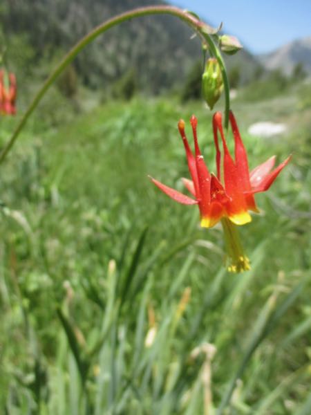
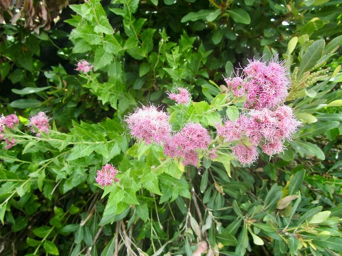
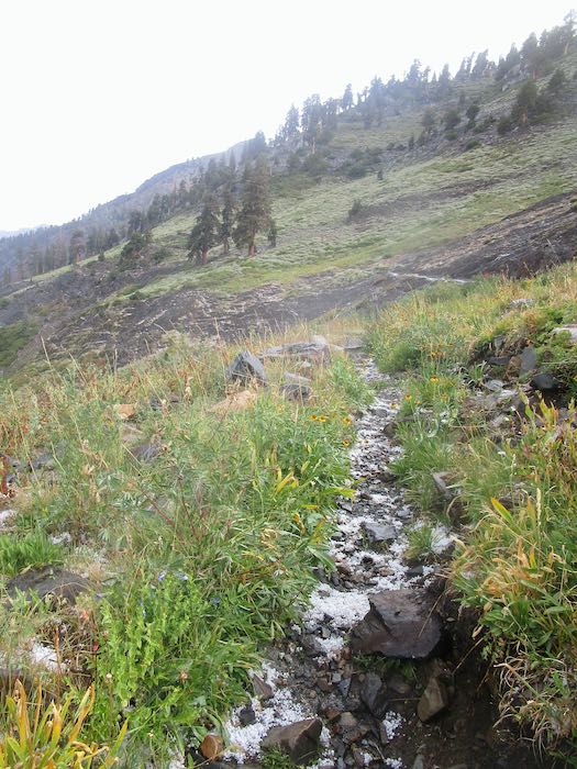
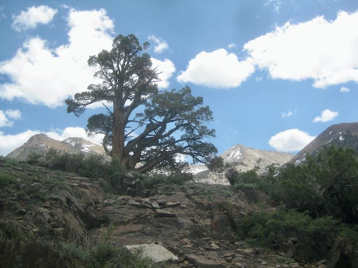
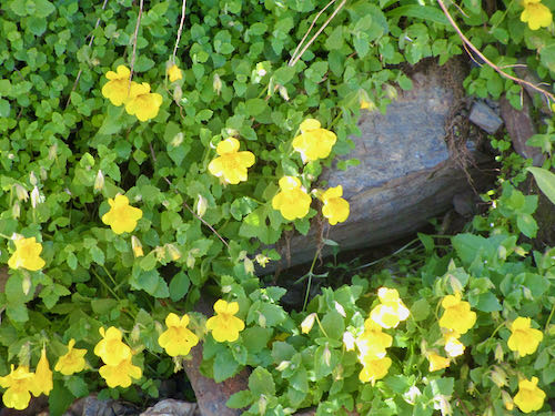
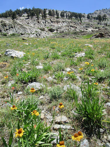
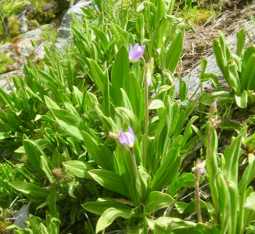
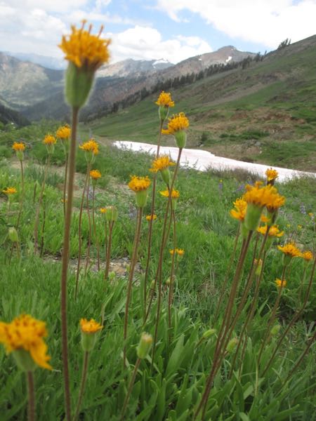
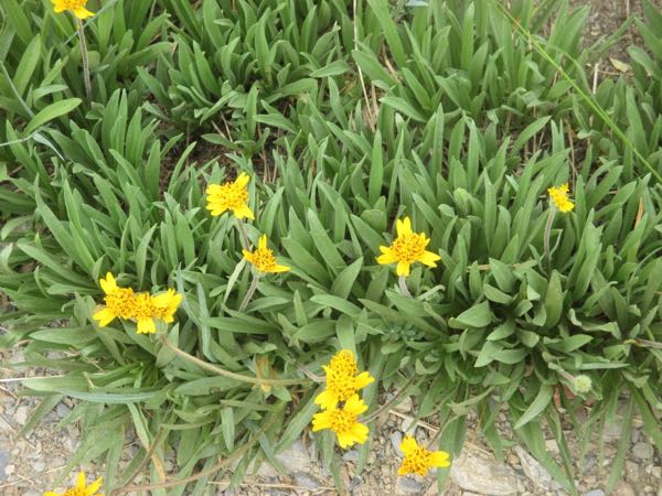
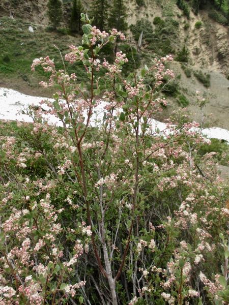
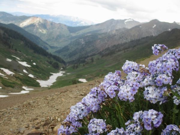
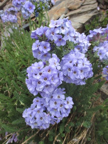
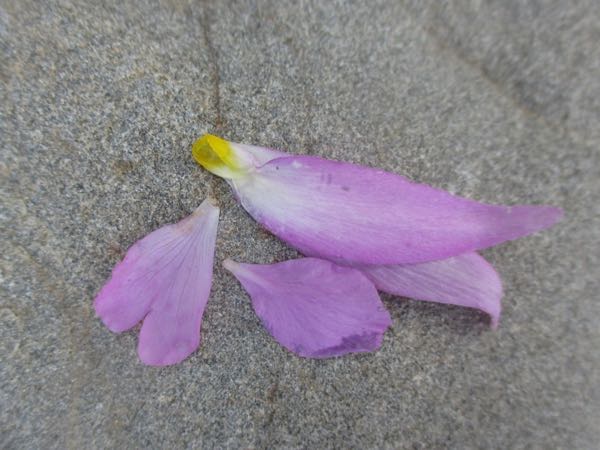
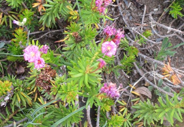
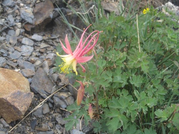
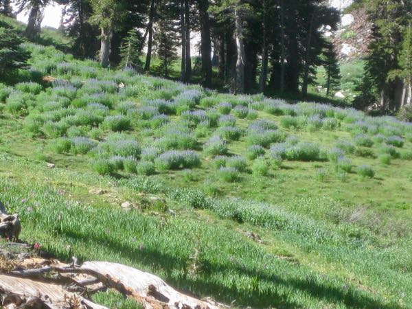
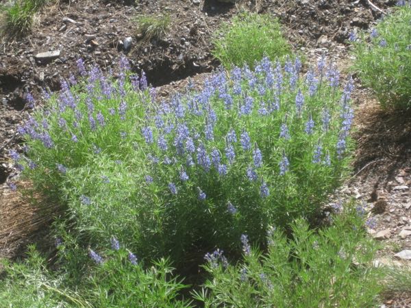
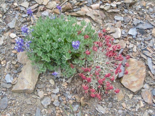
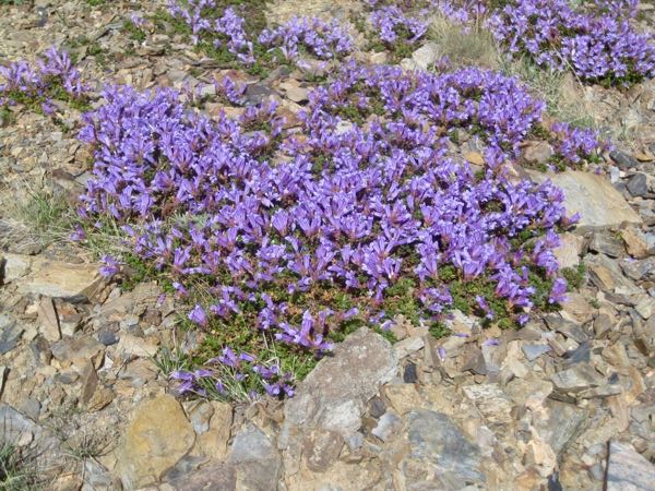
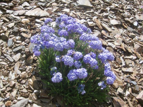
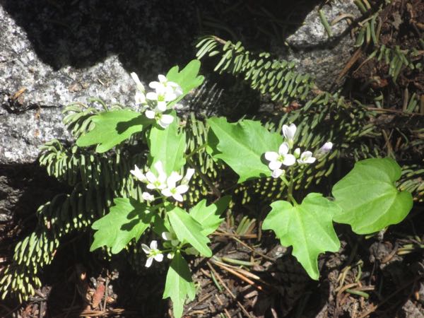
We saw Western Eupatorium, a flowering shrub I’ve only seen up near Franklin Lake.
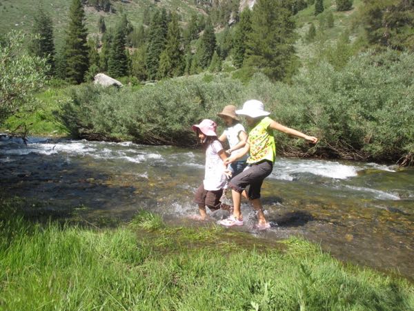
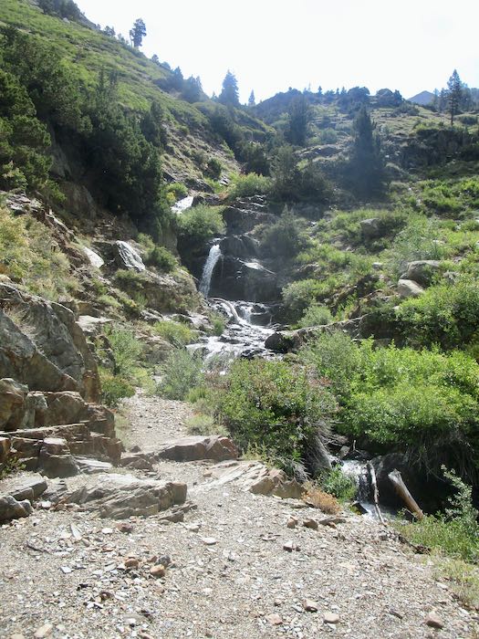
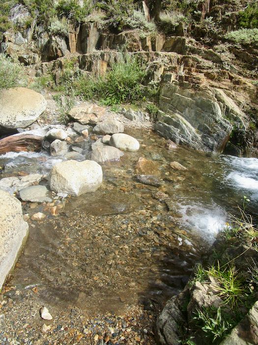
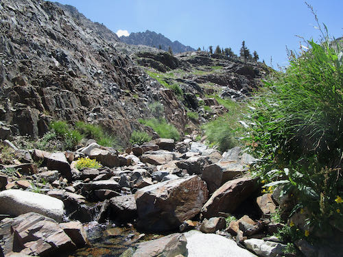
We crossed Franklin Creek without trouble; K hopped the rocks and I simply walked through the water, which was shallow and clear, making it easy to see good foot placement.
Shortly after crossing, we felt a few raindrops. No problem: we each had a parka AND a poncho.
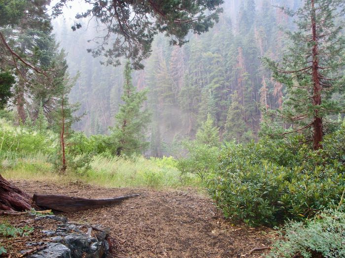
Good thing. Thunder, lightning, rain, and hail, but we just marched ourselves onward up the trail with only one break to stand under some trees (yes, risky with lightning) when the hail got too strong.
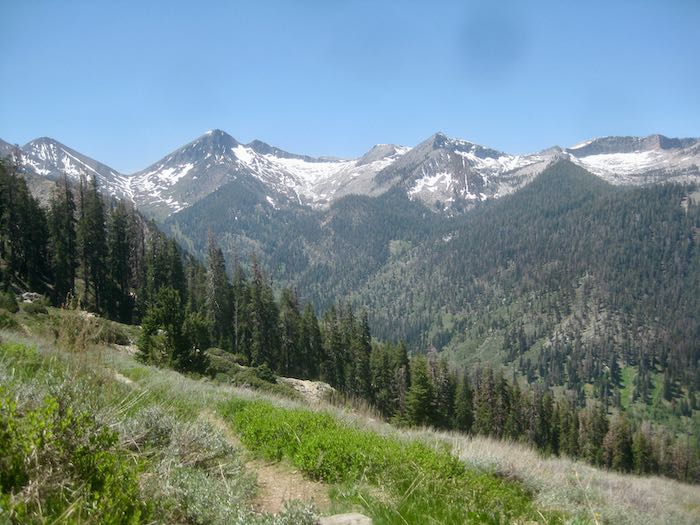
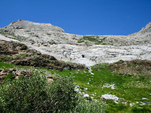
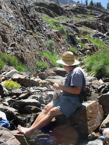
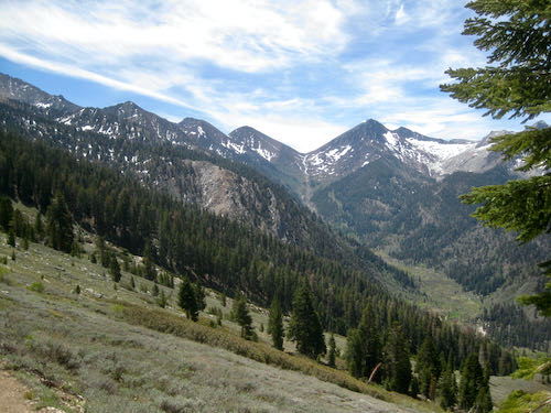
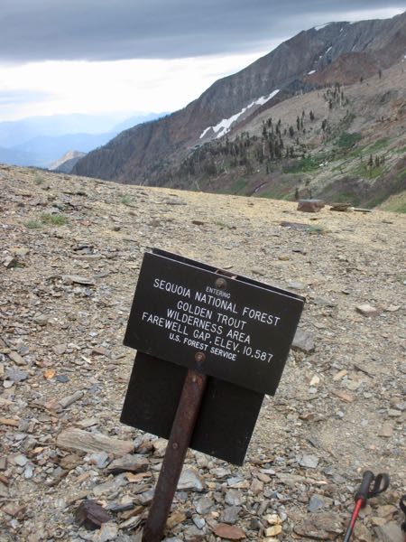
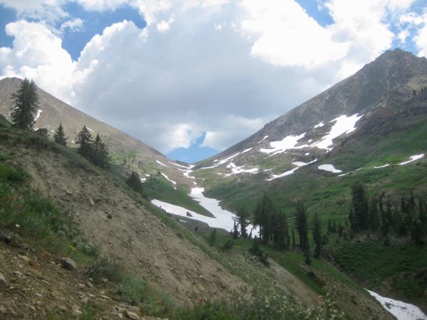
When we reached the junction, the storm seemed to be letting up, so we stopped for a bit to see if any flowers remained and to eat something. (This was a hike, not a walk, so we carried food and water, and needed ponchos to keep our packs dry.)
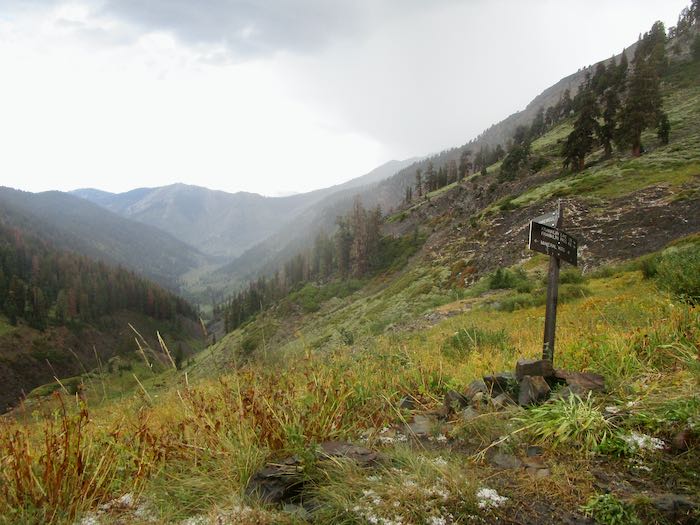
Feeling hopeful, but cautious, we cut our break short and headed back down the trail. Two men had just passed us on their way down from Forrester Lake, cutting their backpack trip short by a day because the weather was a bit much.
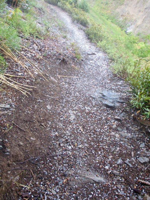
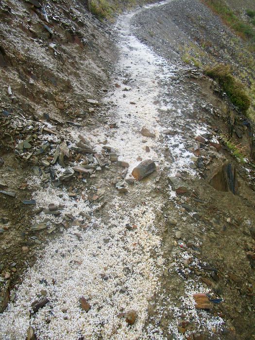
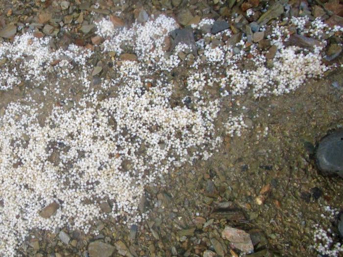
Not long after heading back down, it all started again, with pouring rain that turned to hail, and steady thunder and lightning. We caught up to the men, sheltering under some trees because the hail was just so strong again. After a little conversation about how our ponchos were fairly ineffective, we headed down again. The trail turned to a flowing stream of mud, making it difficult impossible to see foot placement. I gave up pretending that the combination of parka and poncho were keeping me dry, accepting cold and wet as reality. (Ever get hail in your Crocs? It feels like a pebble, but eventually it melts.)
We took a couple of breaks beneath the few groups of trees, just to assess ourselves and one another. K is tough as nails, resourceful, always cheerful, and game for almost anything as long as it is in Mineral King, making her an excellent hiking partner. So, we mushed ahead and then. . .
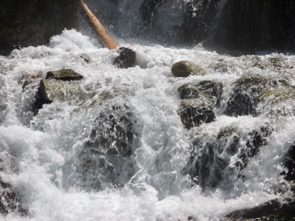
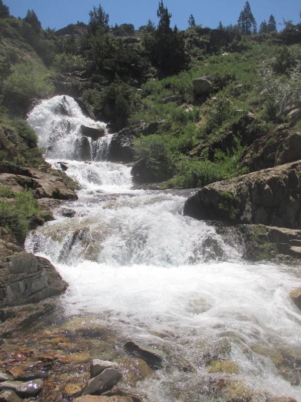
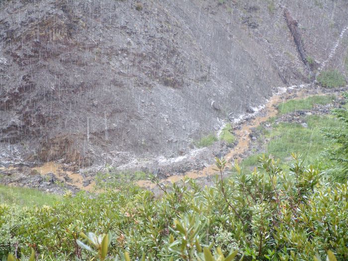
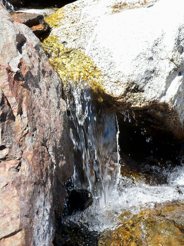
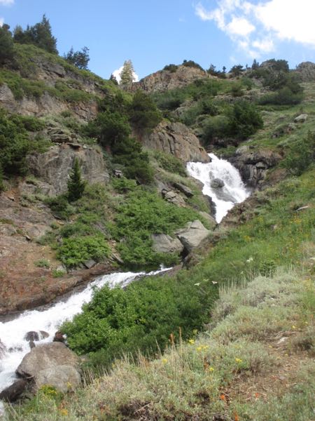
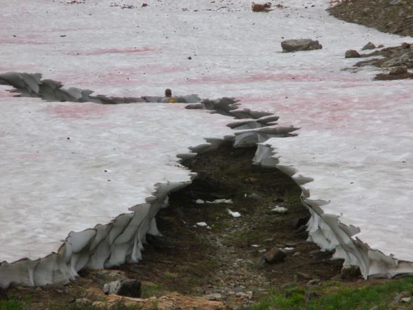
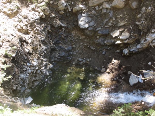
. . . Franklin Creek!! Completely uncrossable. Raging, muddy, scary.
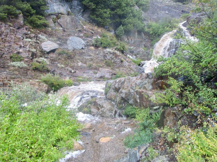
I took two photos, then packed my camera into its case (knit and felted by me, of course), then the poncho bag, and then buried it in my pack under the non-effective poncho. No more photos—the hike’s focus became solely about getting home in one piece.
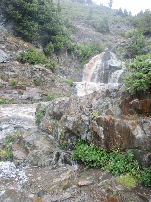
NO MORE PHOTOS
K and I thought about our choices:
- Wait for the two men to arrive and cross in a human chain, holding to one another for support. (K did this downstream on Franklin Creek many years prior).
- Get comfortable and wait for the stream flow to subside.
- Find another way home.
Option one still felt too risky; option two was too unknown and could take hours; option three was the best.
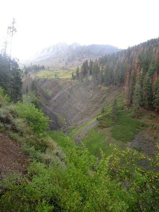
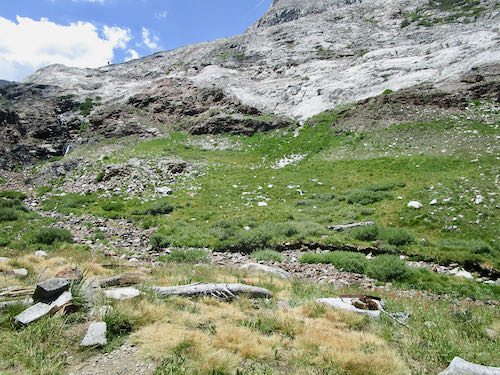
We went back up the trail to where we could bushwhack our way down to the East Fork of the Kaweah, which begins up at Farewell Gap. I guess you could call this “Farewell Creek”, or “Farewell Drainage”. Whatever its real name, we made our way to the stream, which was very muddy but not raging. The challenge was clambering up the bank after crossing, and somehow we made it up the other side without actually falling in, with apologies to the willows and other shrubs that we stomped on.
Then what? We knew that there was an old “trail” (just a route, because the trail is not visible in most places) up that side of the canyon to Farewell Gap. When we were on the trail, I led; when we were off trail, K led. I did my best to keep up, and she was very kind in waiting when she saw I was struggling—she is quite tall compared to me, and used to this sort of scramble-hiking, whereas I usually avoid this off-trail stuff.
We went over wet grass, through scratchy shrubs, over fallen logs, through a bear sleeping area (he wasn’t home), through some soggy little drainages, and over a zillion slippery branches, one of which knocked me to the ground, but only one, so there.
THOUGHTS, EXPRESSED AND NOT EXPRESSED
- If anyone had shown me a video of the day’s hike, I would have said, “I’ll pass—just leave me here by the wood stove with my knitting.”
- I know this is wacko, but I’m kind of having fun!
- Unless one of us gets dementia, we’d NEVER forget this day. (We’ve been friends for 40 years, and this was definitely a memory maker.)
- Trail Guy would hate this!
ONWARD
We knew we’d have to cross White Chief Creek, and because K was familiar with that side of the canyon, she knew that it flattens out where it enters the East Fork, which was also a raging muddy force of wetness. After crossing White Chief, we continued down canyon, aiming to connect with the trail which the pack station used to use for crossing the East Fork.
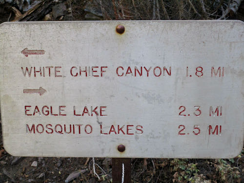
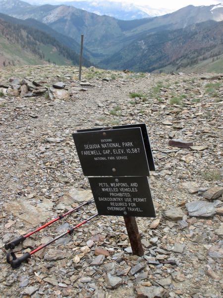
Just as we hoped, K led us directly to that trail, which she referred to as “Davis Camp”, and we huffed and puffed our way up to the real trail, the one that leads to White Chief, where we had considered going. I pushed for the Franklin/Farewell junction, since I’ve been to White Chief twice this summer.
MEANWHILE, BACK AT THE RANCH
(WHERE did that saying come from??) Trail Guy was getting mighty worried. He went to a neighbor to apprise him of the situation, and together they began discussing a plan, correctly thinking that the Franklin crossing would be impossible.
While they were formulating a plan, we made it home. Trail Guy asked what I would have done if the situation was in the reverse. I said that I would have assumed he’d know to cross the East Fork and bushwhack his way home on the other side of the canyon, just as K and I did. He said that was exactly what he would have done, validating K and my decision making.
In thinking over the situation, K was the perfect partner for the adventure. Her cool head, optimistic attitude, knowledge of the area, stamina, and general toughness were just the right combination.
Meanwhile, we will never know how those two men made it across Franklin Creek.
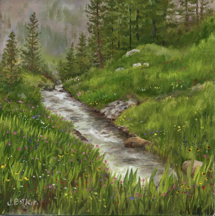
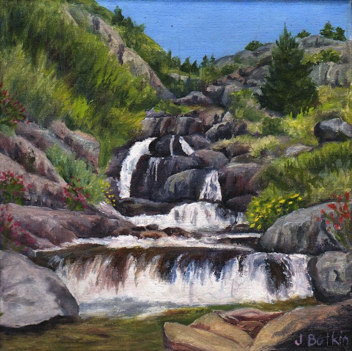
Oh yeah. This is supposed to be a business blog. Have a look at a couple of oil paintings of Franklin Creek (both sold, but I can paint either scene again.)
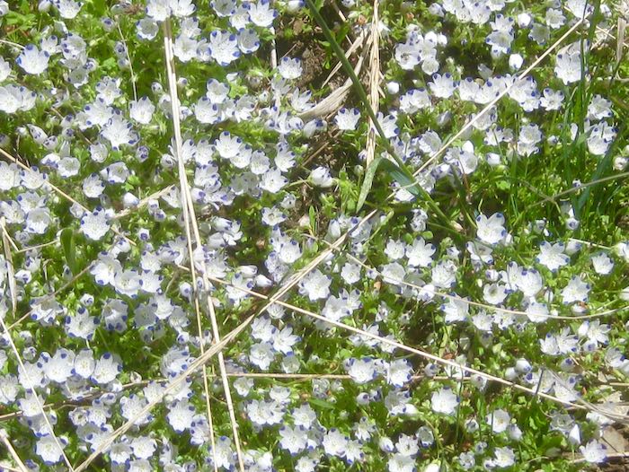
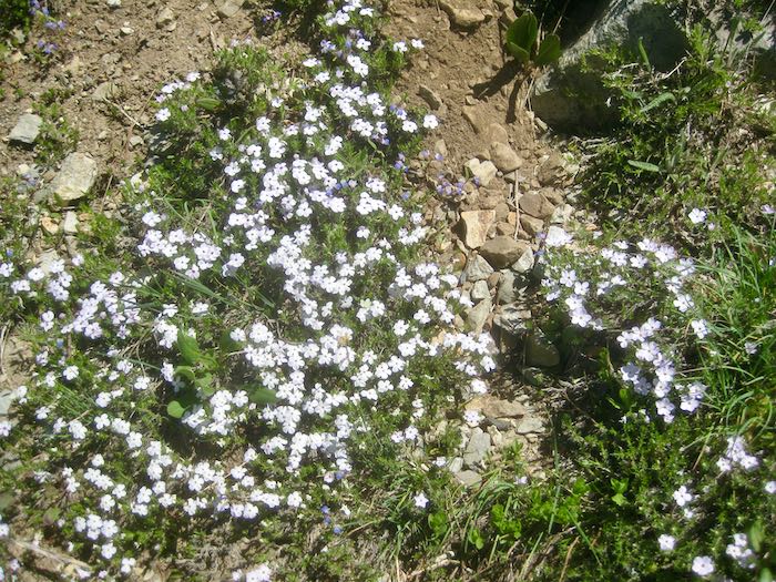
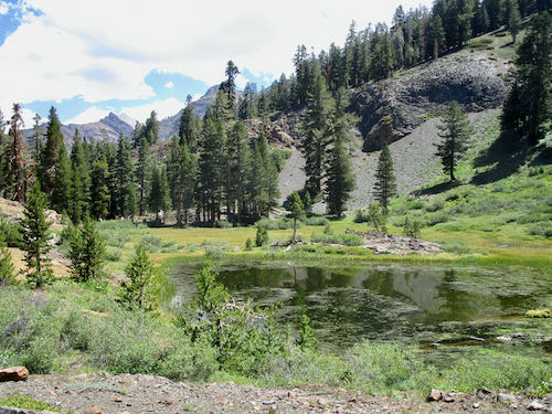
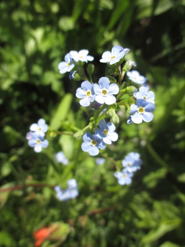
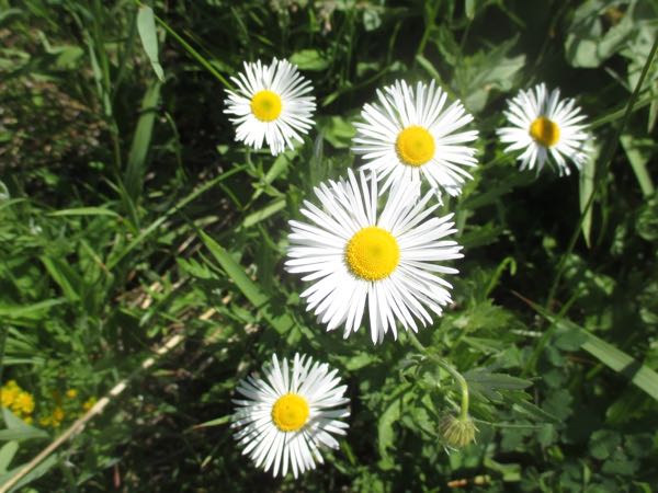
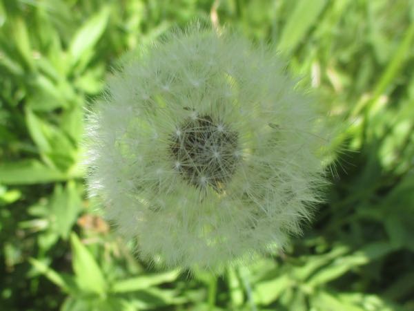
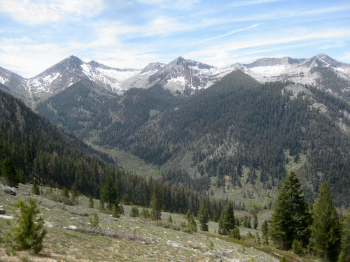
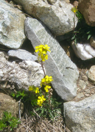
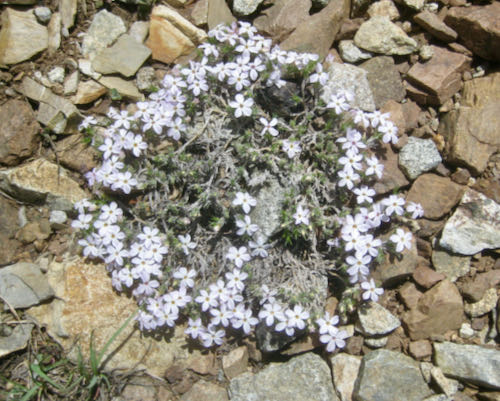
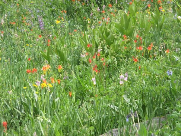
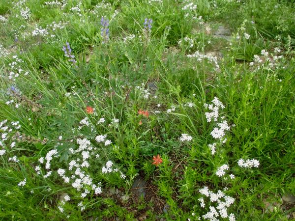
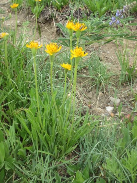
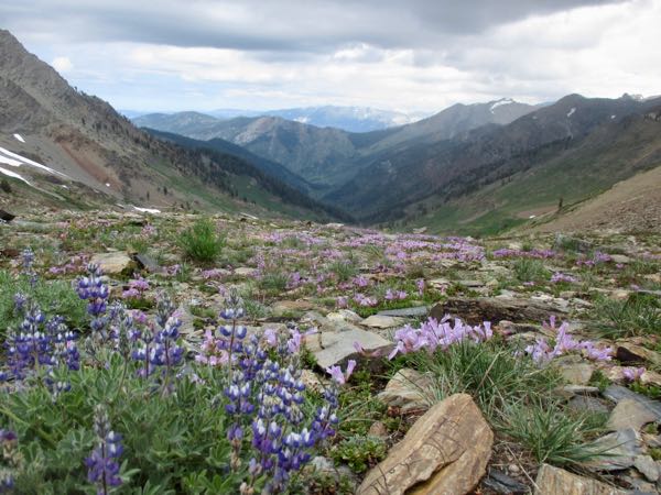
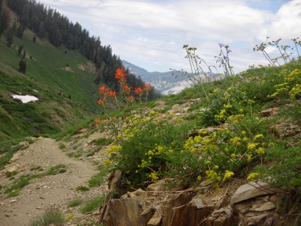
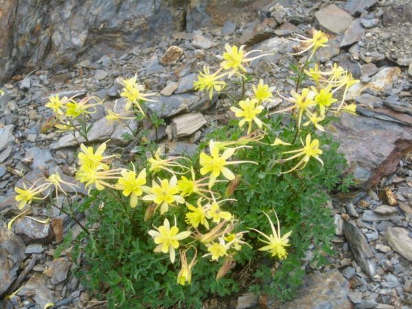
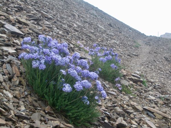
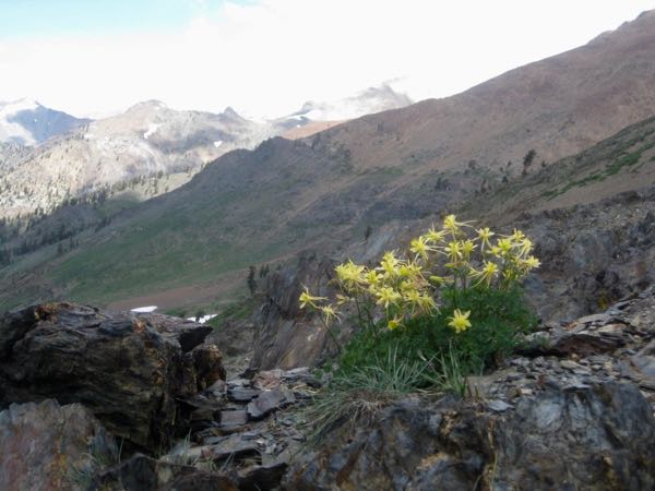
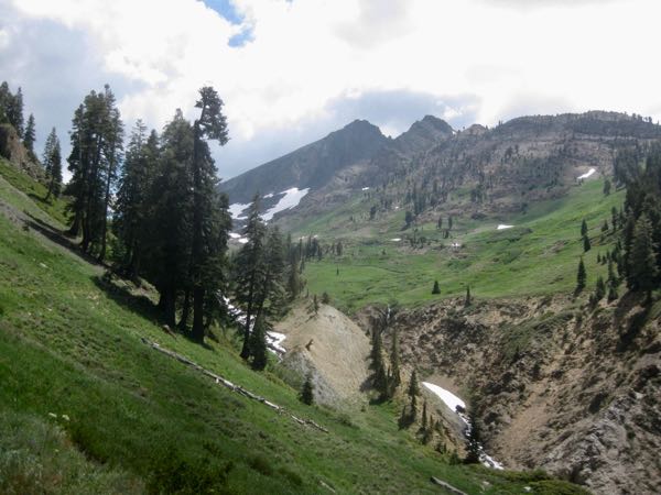
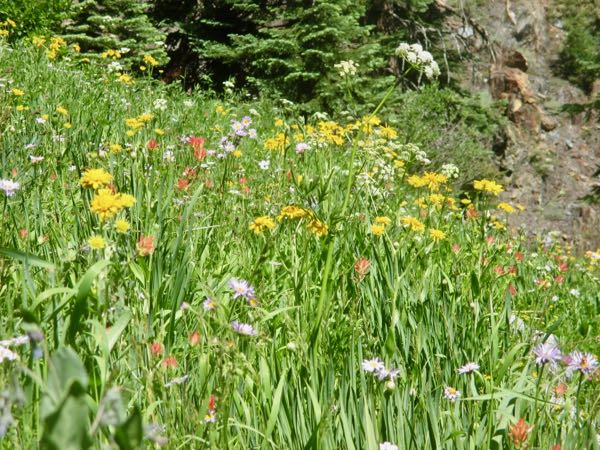
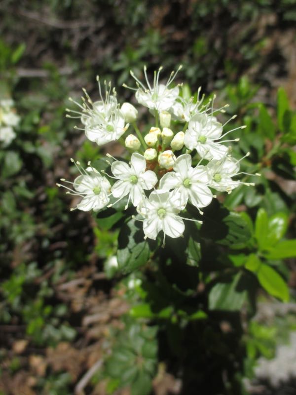
 I continued counting wildflowers and found 14 more varieties after the junction.
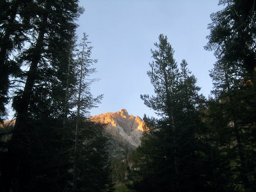
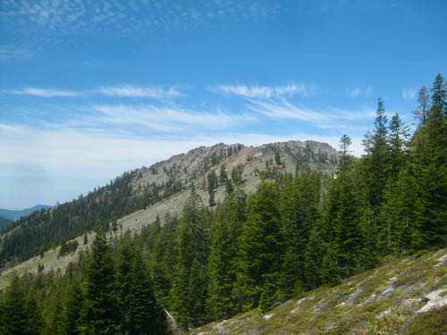 This is Ranger’s Roost, AKA Mather Point, looking through the timber of Timber Gap. When you are looking at Timber Gap, it is the bump to the left/west. The Mather Party came over Timber and saw Mineral King. I drew the cover in pencil and colored pencil for a book about it, but I haven’t read it. I just look at the pictures. (This was a second edition—the original drawing on the first edition went missing so the publisher commissioned me.)
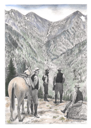
 I felt sort of tired, and thought, “How disappointing, I’m out of shape”. It later occurred to me that middle-aged people who are truly out of shape don’t hike 13+ miles in one day at high altitudes (or low ones either).
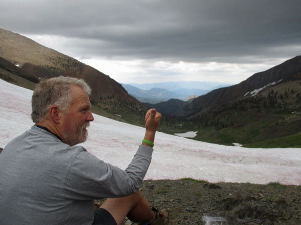
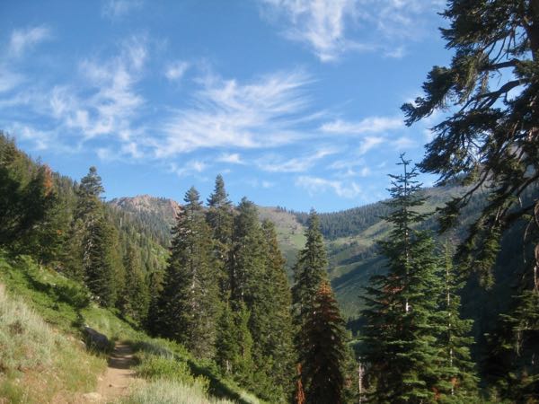
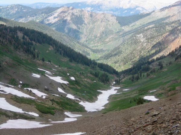
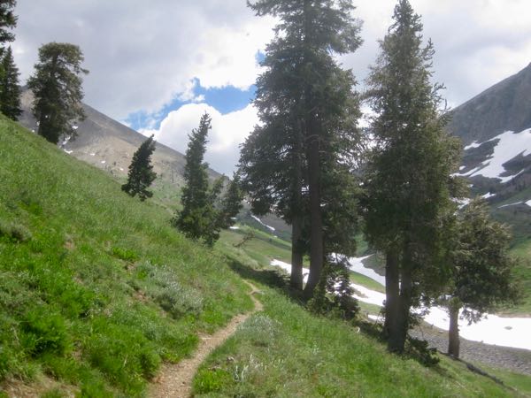

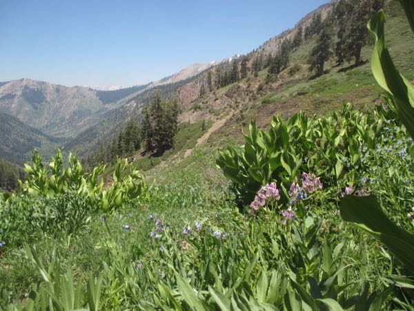
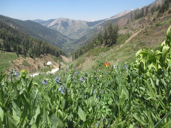
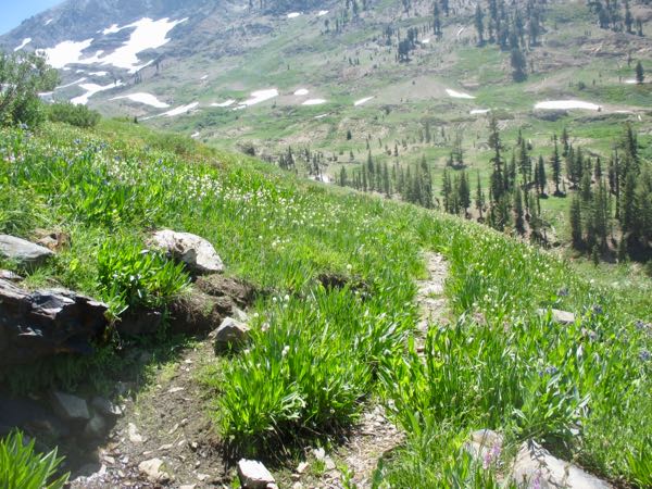
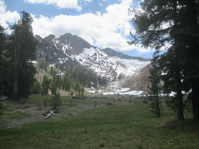
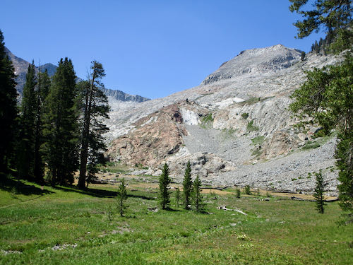
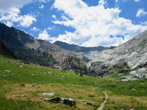
 The trail looks positively bucolic, but there are armies, platoons and relentless swarms of ravenous bugs.
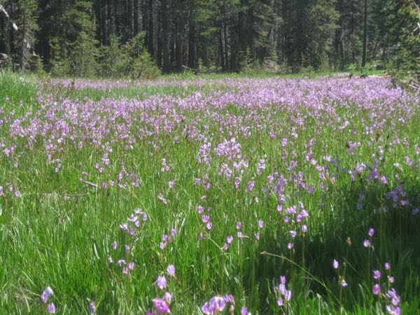
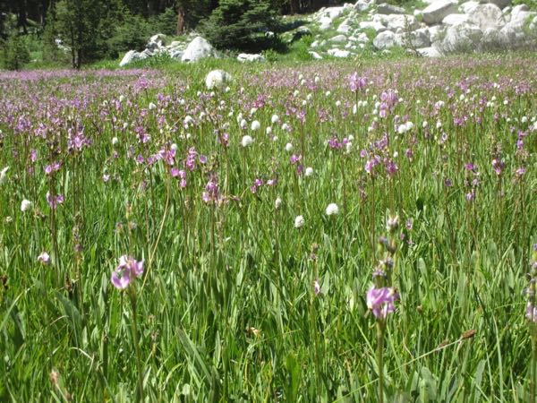
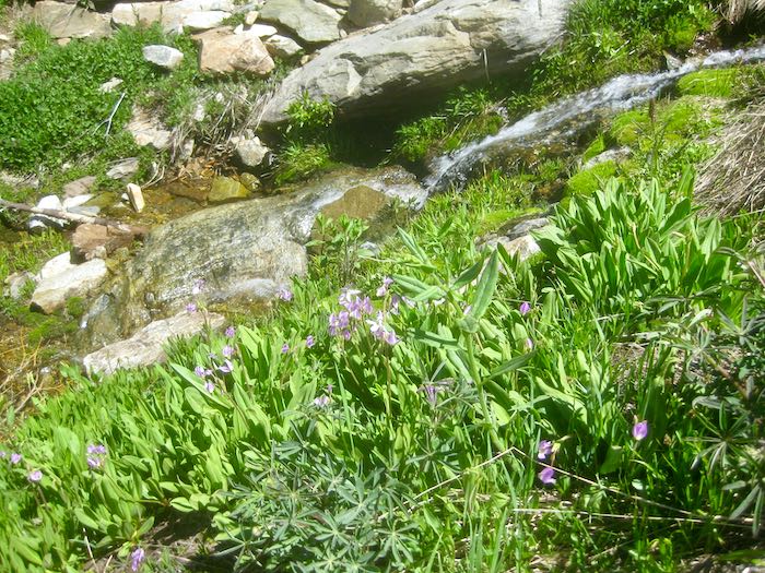
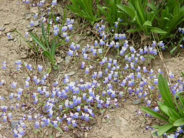
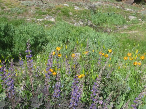
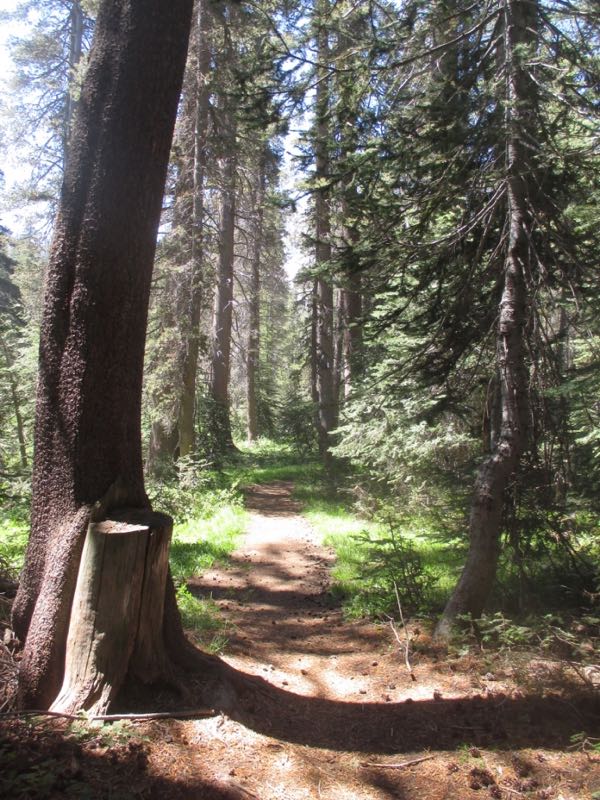 There is a meadow before you begin climbing to Eagle Lake, and it was full of Jeffrey Shooting Star and Knotweed. (and bugs that bite.)