If you can’t see the photos, go here: cabinart.net/blog. White Chief Canyon is the favorite hiking destination for both Trail Guy and me. This summer has been full of disruption, so I hadn’t made it there yet, while Trail Guy had gone several times. First point of interest is the Spring Creek bridge, with fireweed in bloom now.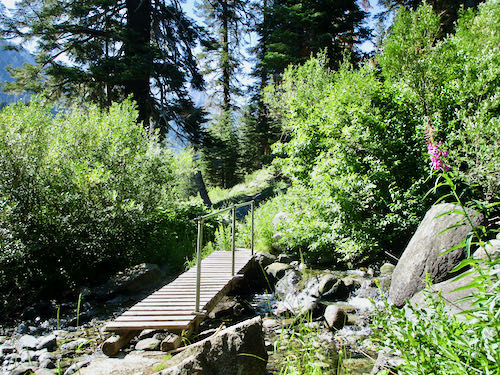
That trail is STEEP, but you reach your destination in about 2 or 2-1/2 miles. (It is about 1 mile to this sign, and no one knows exactly which point is 1.8 miles from the sign.) In order to distract myself from the difficulty, I counted wildflower varieties. Before reaching the junction sign, I counted 29 different wildflowers. 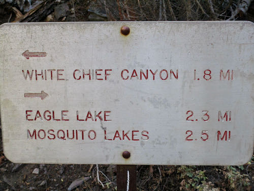
After the junction, Trail Guy insists that there are only three steep grades. I insisted that he show me where each one begins and ends. That kept our minds off the difficulty, and although I believe there are actually four steep grades, now I understand what he is referring to. However, the lack of oxygen to my brain may preclude my ability to retain or pass on that information.
See the cones at the top of those two red firs? We both hope that it portends a heavy winter.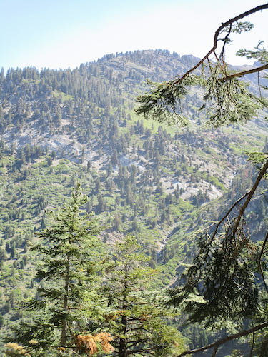
Hello, White Chief canyon!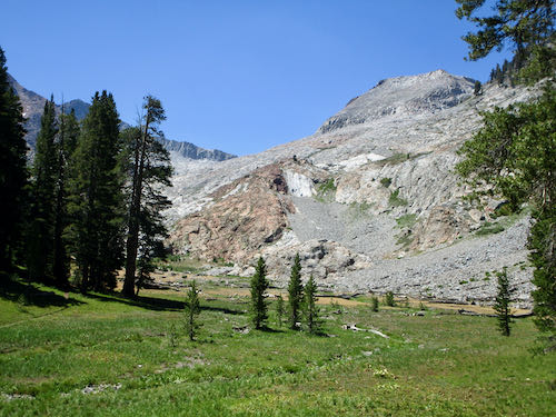
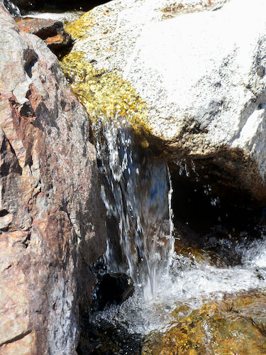
Hello, little pond!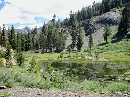
Hello, weird ugly lichen!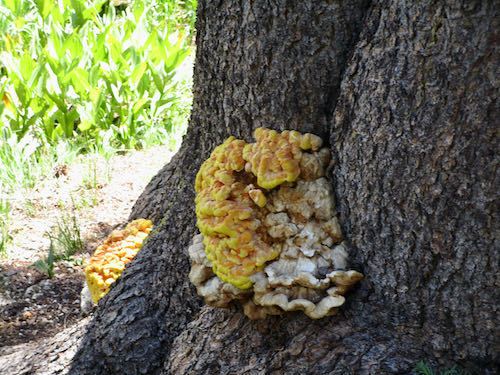
Almost to our destination, but no plans to cross the creek and go see the mining tunnel. (Can you spot it on the white wall?)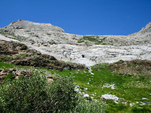
Hello, Seep Spring Monkey flowers!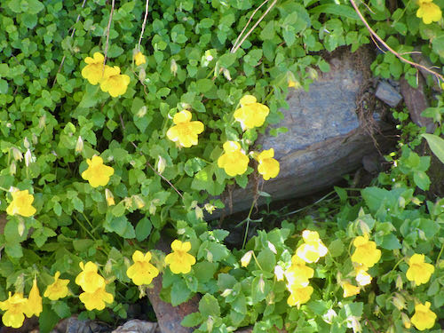 I continued counting wildflowers and found 14 more varieties after the junction.
My feet don’t hurt in my new “hiking boots” (Crocs All Terrain model) but it always feels wonderful to put them in icy water. (my feet, not my shoes)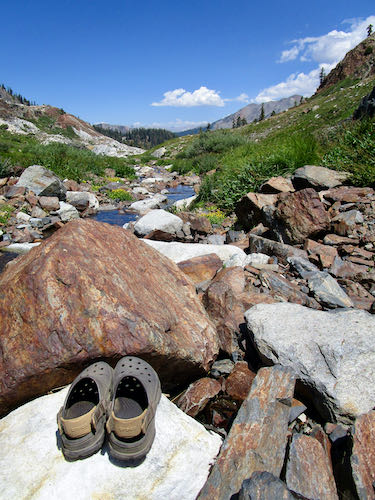
That jagged-top peak is Vandever, the one on the right side of Farewell Gap. It appears much rougher from this viewpoint than from the Mineral King valley floor.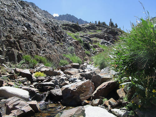
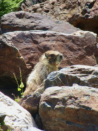
A marmot was quite interested in sneaking up on Trail Guy and inspecting his lunch.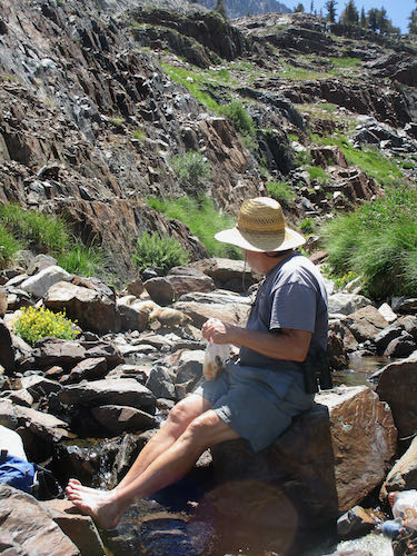
Someone has made quite a pile along the trail to indicate where to head down to the creek crossing and head up to the mining tunnel. Can you spot the tunnel in this photo?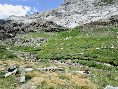
Obviously, there is a drainage of some sort here for the Bigelow Sneezeweed to run up the hillside. People are often discussing drought, but the truth is that we had twice as much rainfall last winter as the previous one.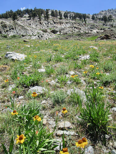
Farewell, White Chief.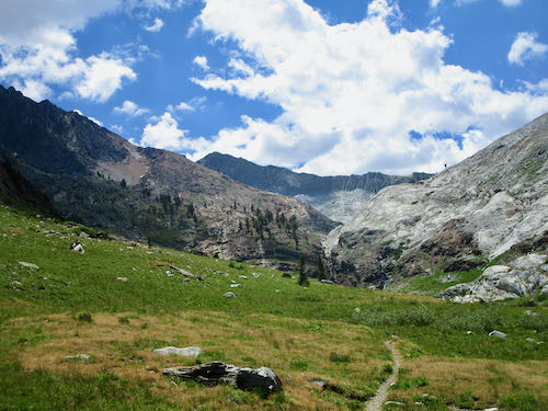
This is “everyone’s” favorite juniper. I have painted it quite a few times.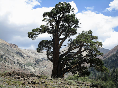
I painted it once from this angle, which isn’t quite as impressive.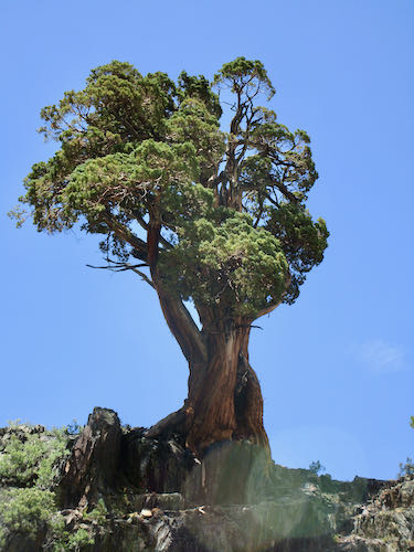
We made it home, dusty, tired, and happy to have visited our favorite Mineral King destination once again.
Do you have a favorite Mineral King destination?
10 Comments
Thank you for the beauty of the White Chief hike!! I miss not getting to Mineral King this year, but I need to be home to care for my husband.
Virginia, you are a very good wife!
Mom and I have a hilariously awful story about our most recent visit to White Chief… I can’t wait to share it with you!
Lauren, I look forward to hearing your story!
I throughly enjoy your hiking adventures with trail guy. Keep them coming..
Thank you, Anonymous! Every Friday is dedicated to MK on the blog, but I don’t always have a hike to report about.
So, how does the steepness to White Chief Canyon compare to the steepness to Eagle Lake? It’s been decades since I’ve been to WCC (even ventured into the mine), but your photos entice me to make it happen some day soon!
Sharon, I believe the trail to White Chief is steeper than to Eagle. Eagle is longer and has that rough rocky boulder field for the final 1/2 mile.
Mike and I did the Rae Lakes Loop shortly after we got married. I believe it was 44 miles.
I discovered that I was afraid of heights when we went over Glen Pass(which was covered with snow, and it was summer) . I literally froze on the side of the mountain and Mike had to take my pack, and climbed behind me moving my feet into the crusty snow. When we got to the summit it was a moonlit night. We were too tired to set up a tent and threw our sleeping bags down on the granite. Or so I thought. I was cold all night and when the sun came up I realized I was on a sheet of ice! Ha ha ha
We hiked the remaining 22 miles in one day because someone (not me) was craving a cheeseburger!!!! I remember how beautiful it was.
But never went again!
Ann, I did the Rae Lakes Loop when I was 14 or 15. It was difficult, beautiful, and I was too stupid to understand where I was, only followed the boots in front of me. Youth is wasted on the young.
Comments are closed for this article!