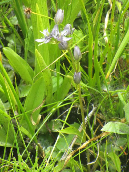
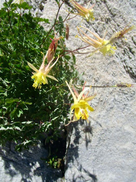
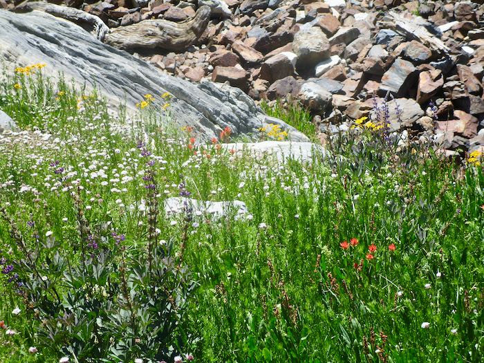
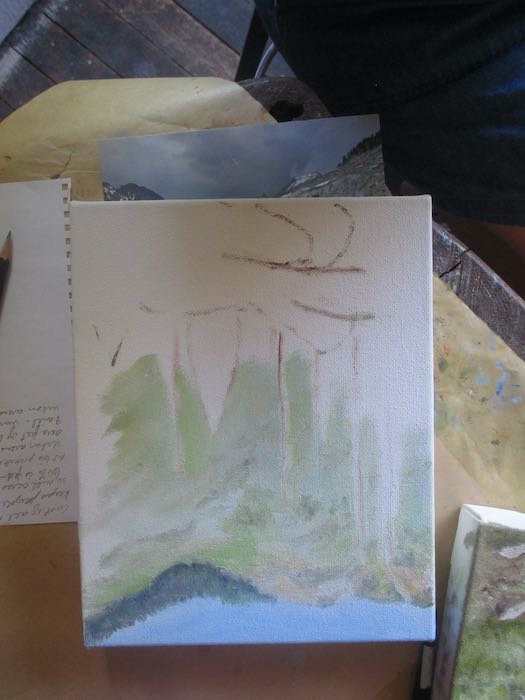
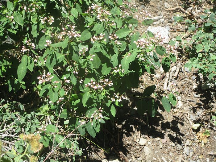
This first one isn’t odd. I’m just warming up here. It is a plant called Coulter’s Fleabane, which I misidentified in Mineral King Wildflowers as snowberry. Maybe. Still trying to figure it out.
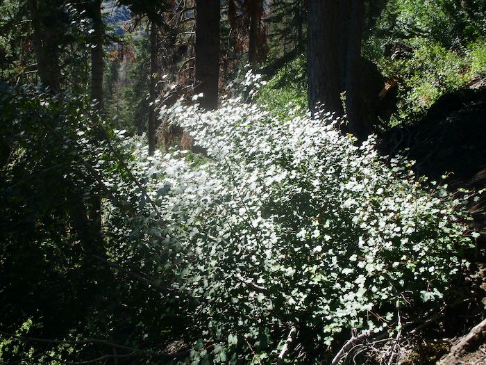
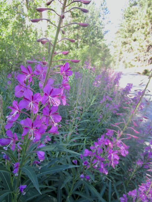
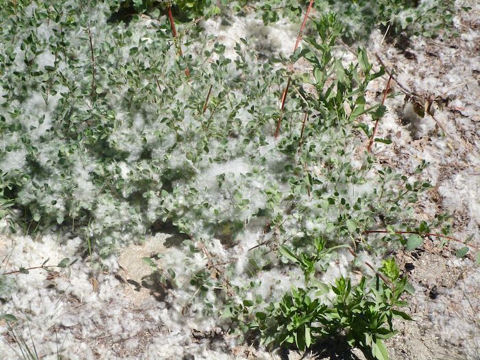
The cottonwood was prolific, abundant, and fascinating. Very soft to the touch, but elusive when one tried to gather it.
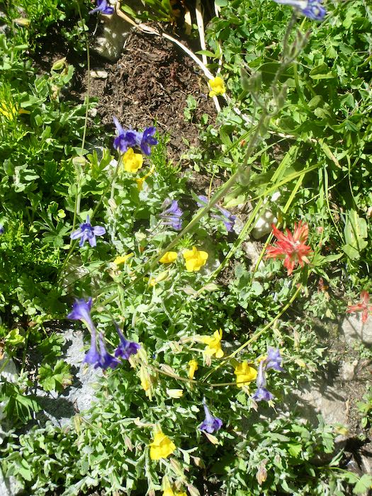
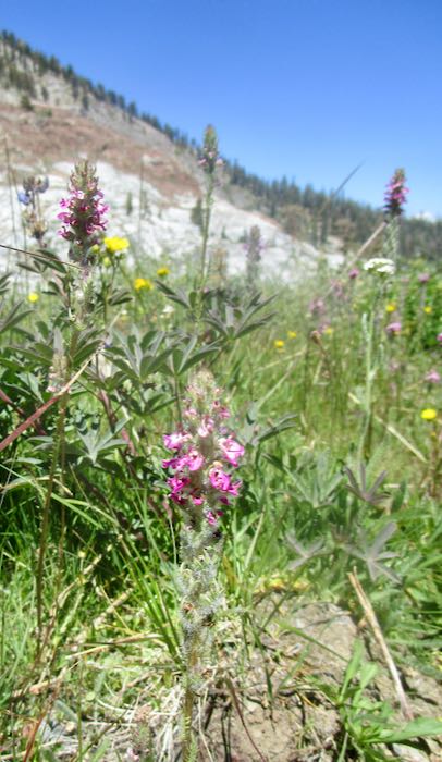
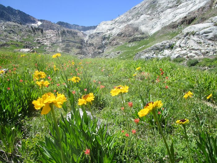
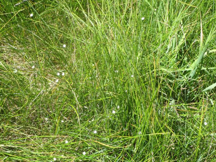
Once again, I failed to put a dime or a quarter in my pocket so that you can appreciate the teensy size of these daisies.
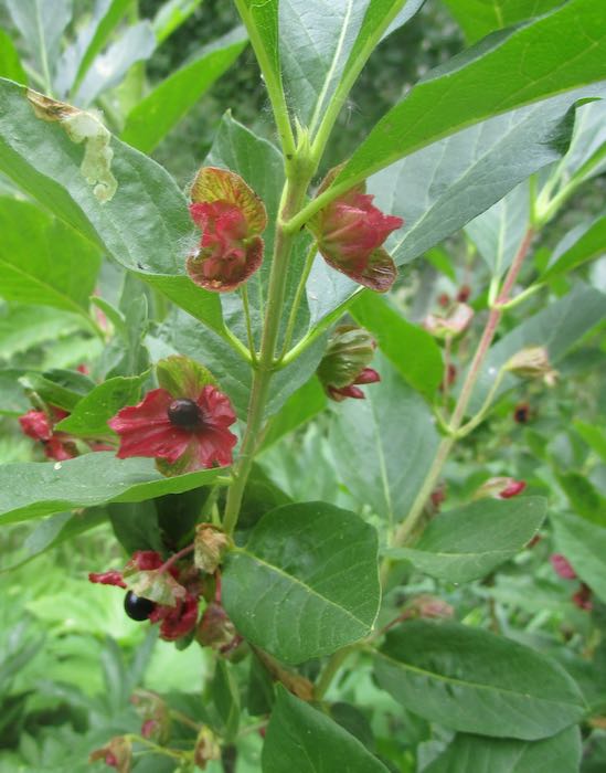
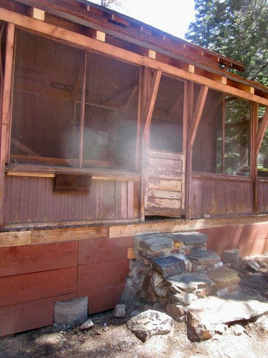
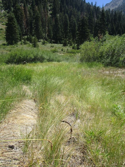
What is this? We don’t know, so I sent the photos to the local historian.
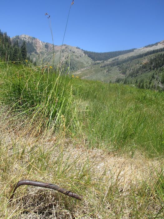
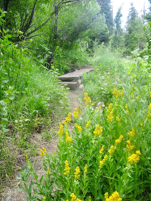
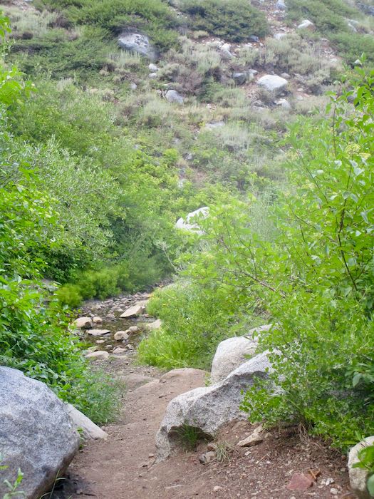
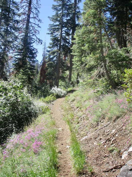
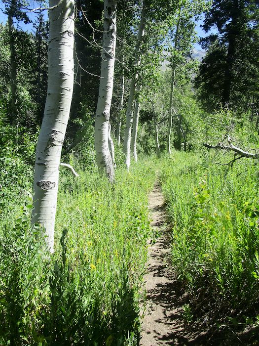
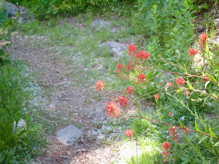
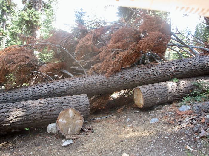
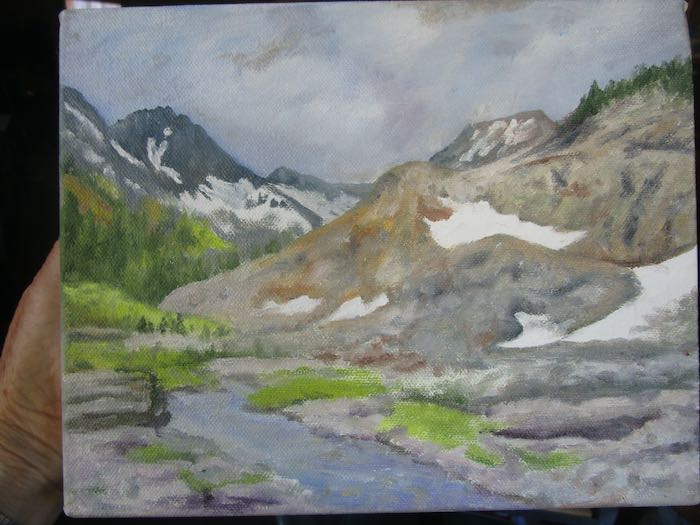
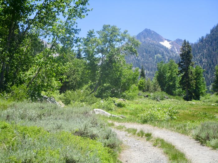
What is this on the trail??
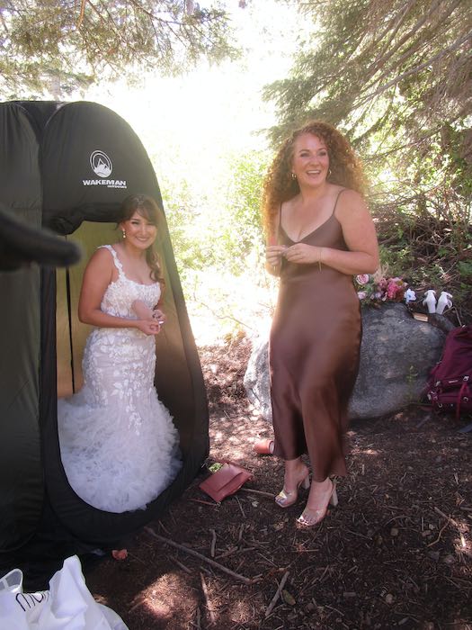
Oh, just a little changing booth for a bride. Check out those heels on the bridesmaid. That’s an unusual sight in Mineral King, especially on a trail.
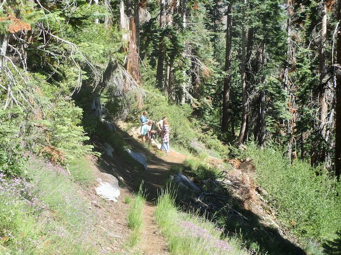
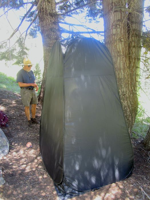
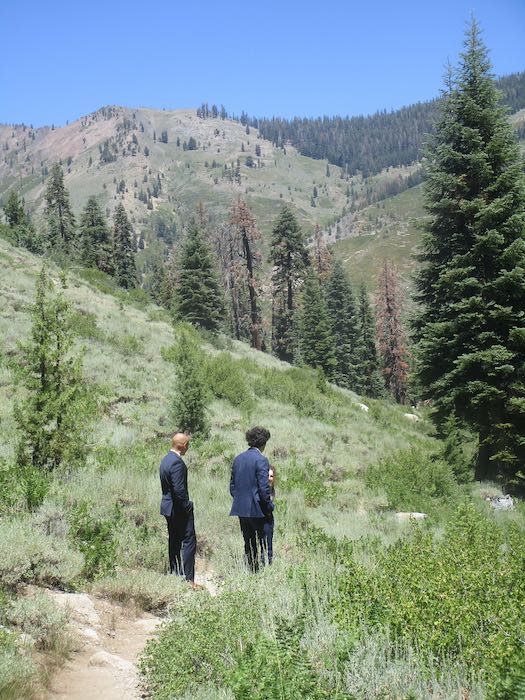
These dressed up gentlemen were receiving instructions. I think they were waiting for the bride, rumored to be an hour late.
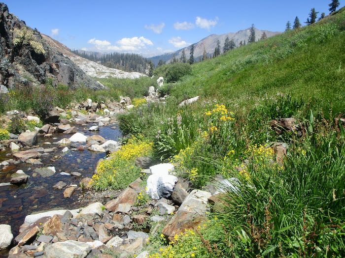
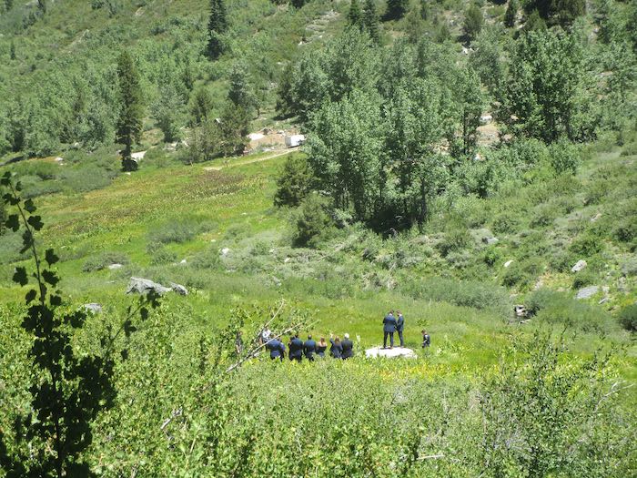
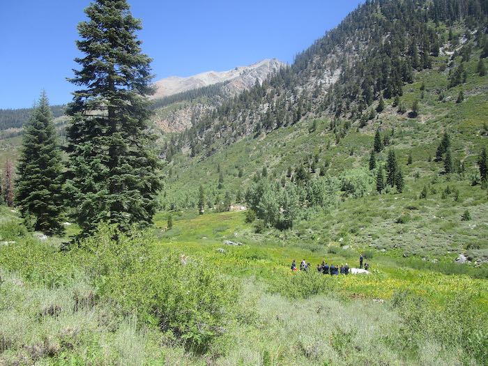
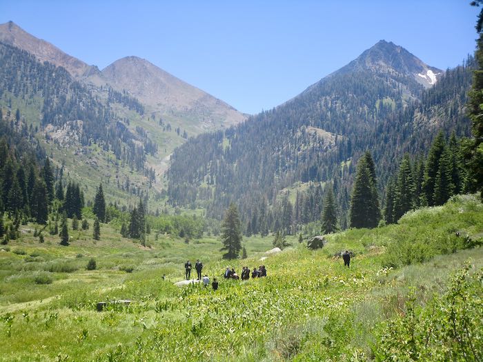
And there are the guests, waiting for the action to begin. We didn’t bushwack down to investigate.
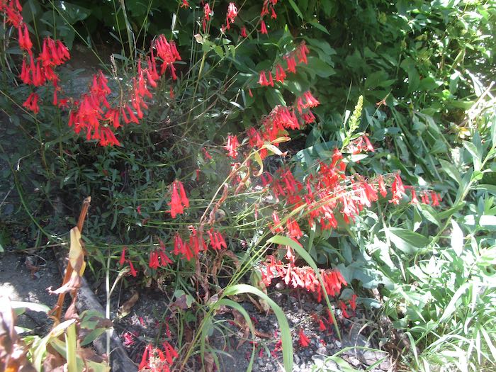
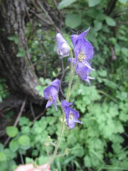
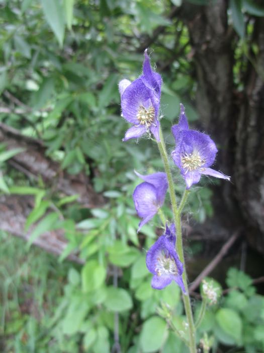
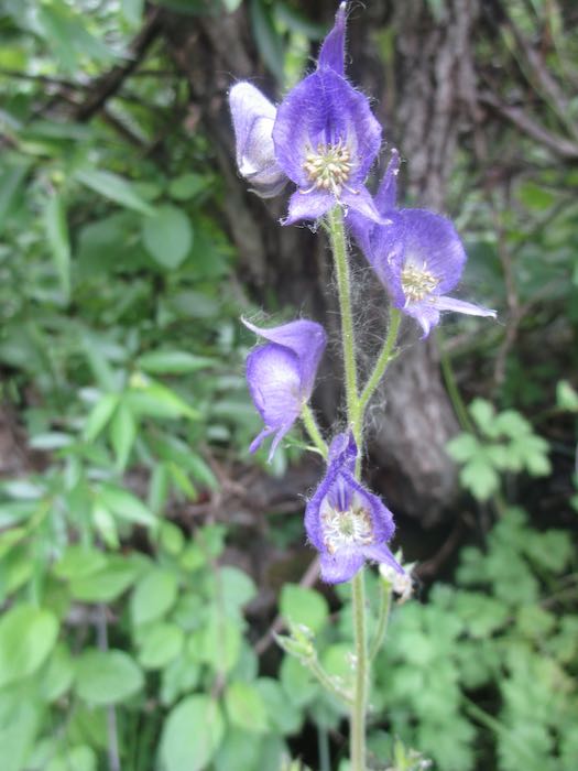
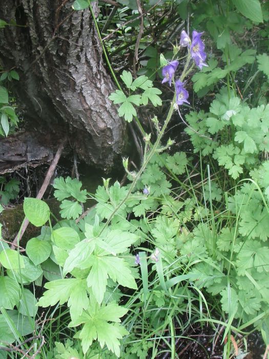
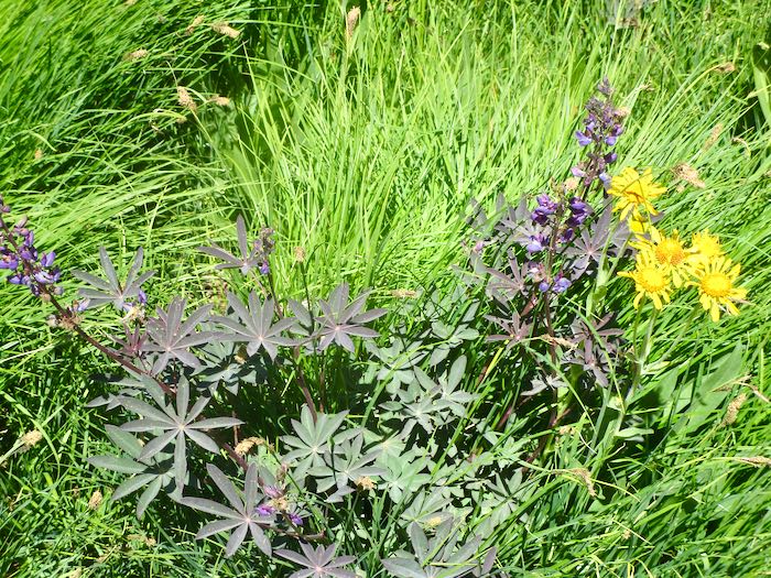
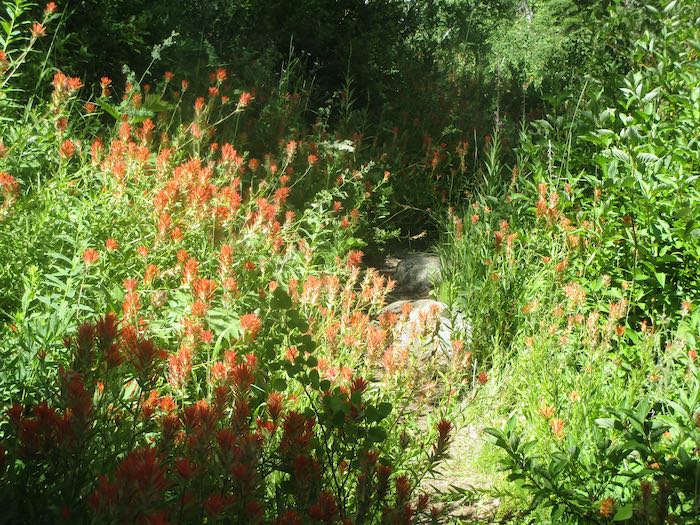
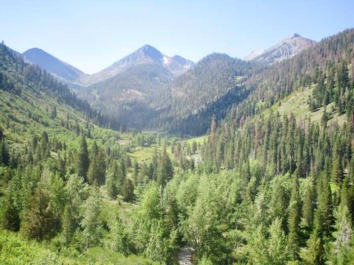
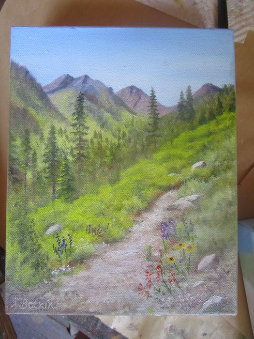
Let’s just end with a calming, more usual type of sight. These are penstemon, but the name escapes me at the moment. Besides, since discovering that snowberry is really Coulter’s Fleabane, I’ve lost confidence in my flower identifying abilities.