OF COURSE THAT WASN’T THE REASON! But look what my camera started doing when I was in the midst of my painting marathon.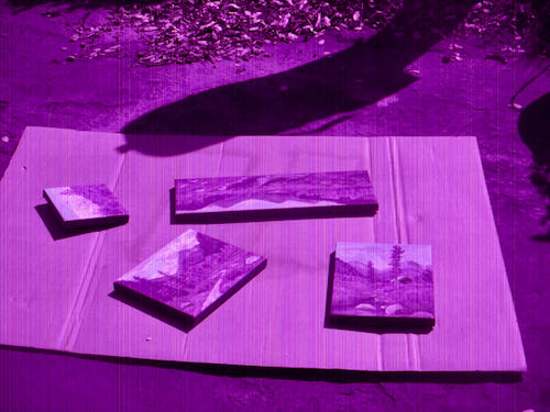
Houston, we have a problem.
Ick, you all know how I feel about shopping – all those confusing almost alike products, decisions, too many details, too many choices. I just skated by with my inferior phone photos for awhile. It is an iPhone 7, and it hasn’t lived up to my expectations. However, I do not dive quickly into things, so I imagine that I will make it work for at least another 10 years or so. (Remember, I went 2 years without a cell phone at all, I drive a ’96, bought my only purse in ’95, and my wallet in ’79. Wanna make somethin’ of it??)
Where were we. . . painting fast, a painting marathon, a painting factory.
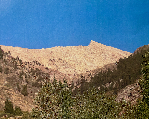
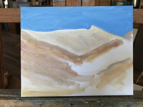
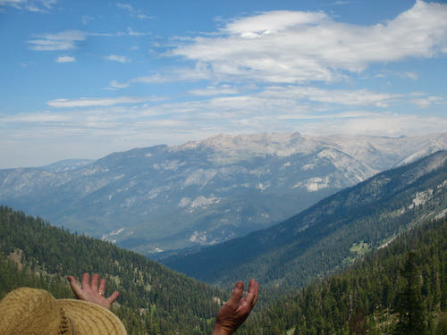
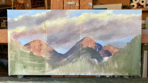
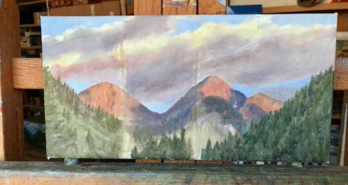
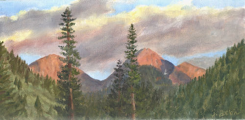
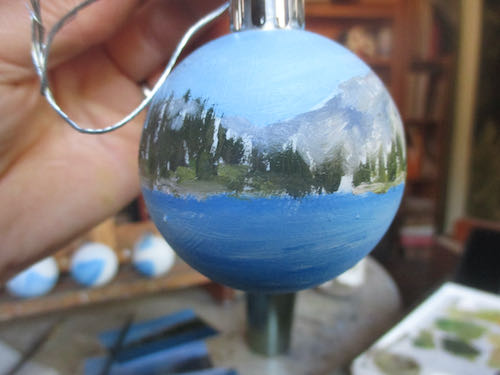
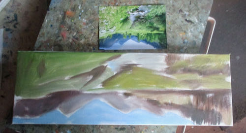
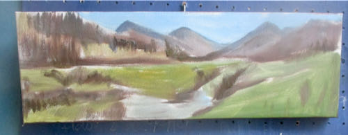
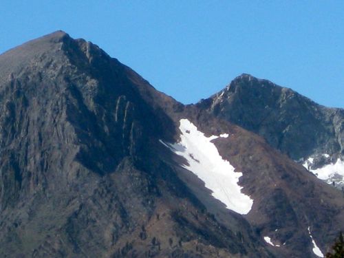
My new friend Kelly showed me a fabulous sunset over Farewell Gap on her phone (hmmm, I wonder what model she has), and then offered to share it with me so I could paint it.
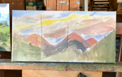
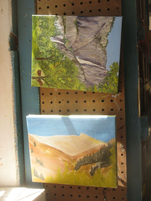
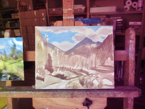
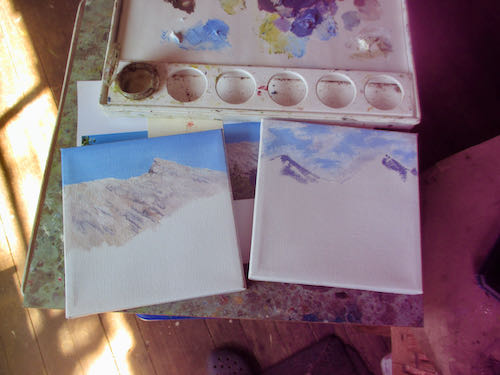
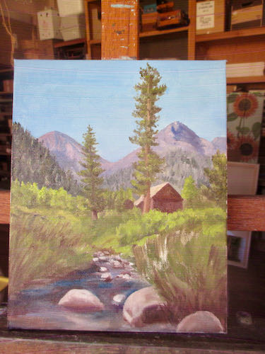
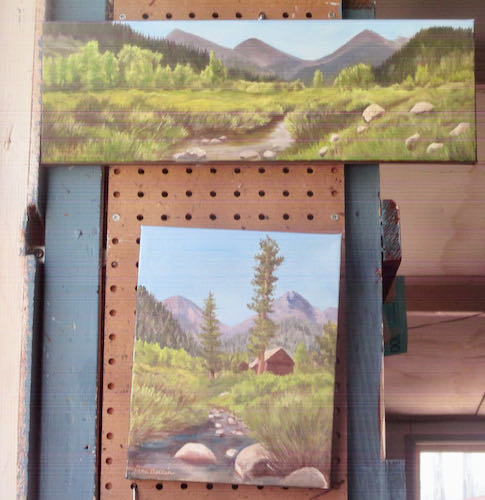
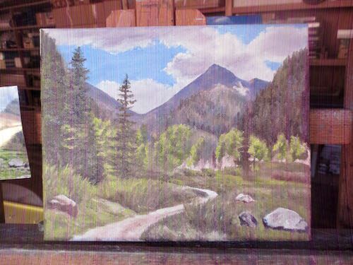
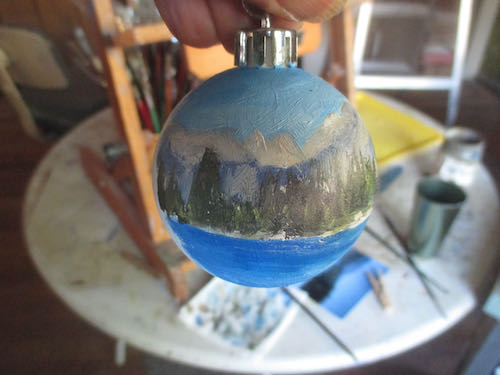
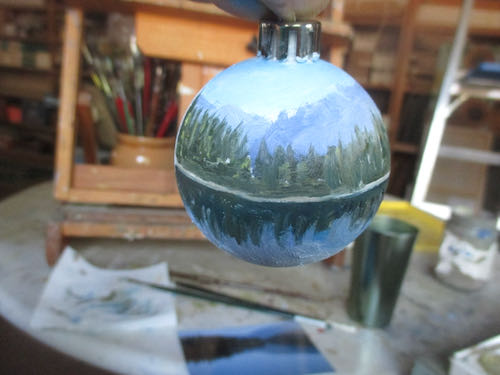
I put the first layer on so that it was obvious where the shapes and the general color would go, then I put it outside to dry in the 102 degree weather and went back inside, grateful for the swamp cooler, to finish this little gem.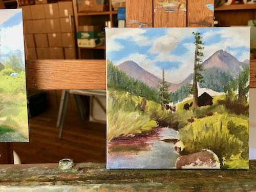
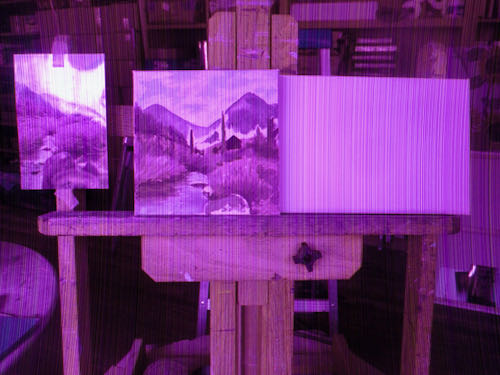
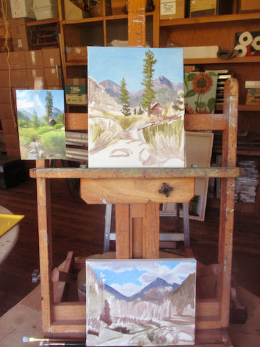
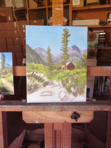
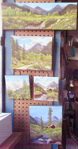
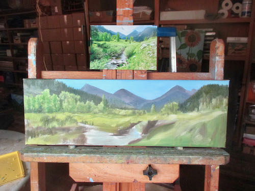
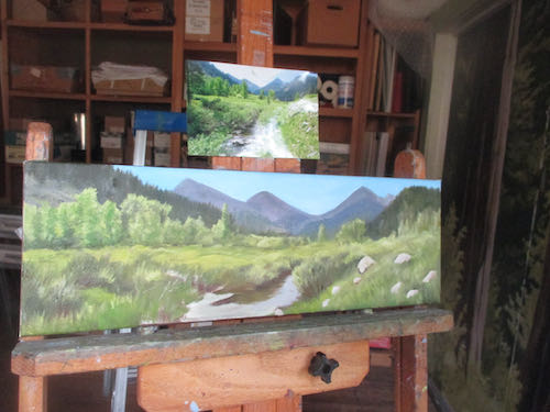
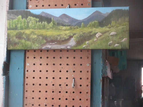
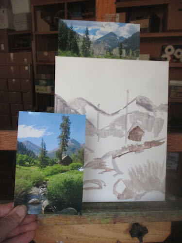
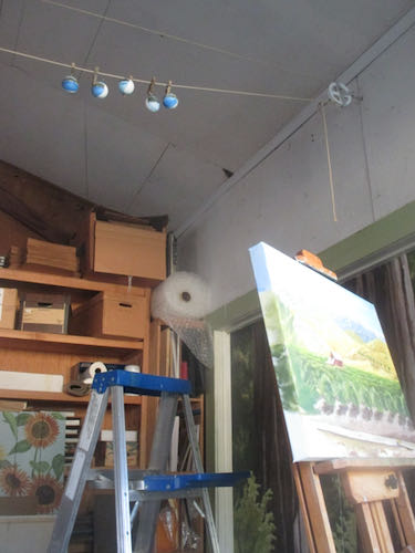
When it was finished, I put it outside, and then thought it would be a hoot to photograph the drying paintings in front of their big brother. (Simple pleasures for simple people).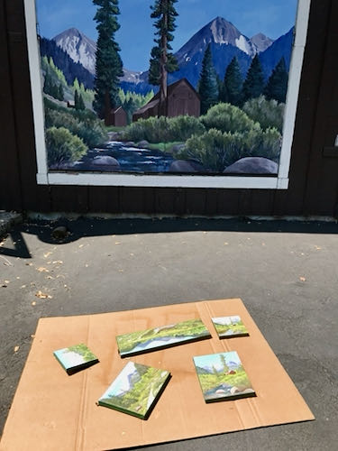
Back to Kelly’s sunset. I haven’t done a ton of sunsetty cloud colors, so I mixed to sort of match the photo and then just decided to make sure the colors made sense, but didn’t overpower Farewell Gap in intensity. (See? Too many decisions wore out my ability to go online and choose from 70 cameras that all look alike.)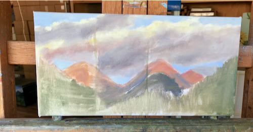
SOLD! But that’s okay, because I can paint another one for you. Remember. . .
I use oil paint, pencils, and murals to make art you can understand of places and things you love, for prices that won’t scare you.
P.S. I found a camera at a place called B&H, with identical controls to the one that croaked. It arrived within a week, and IT TAKES BETTER PHOTOS!! (better photos than the old one did before it turned pinky-purple).

 MORE!
MORE!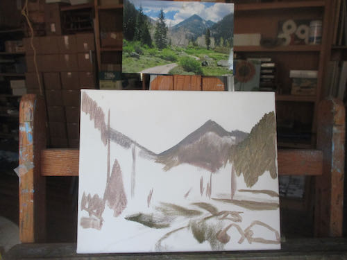
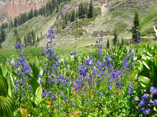
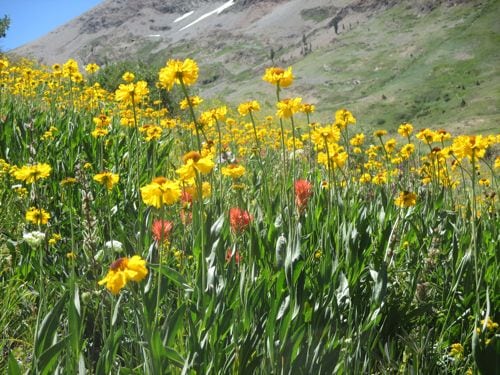
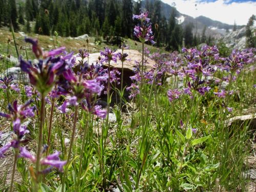
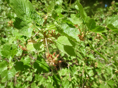

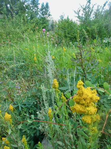
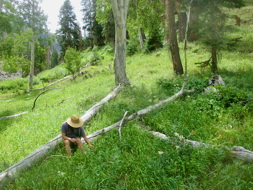
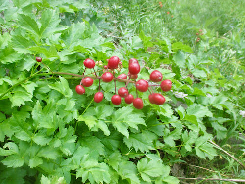
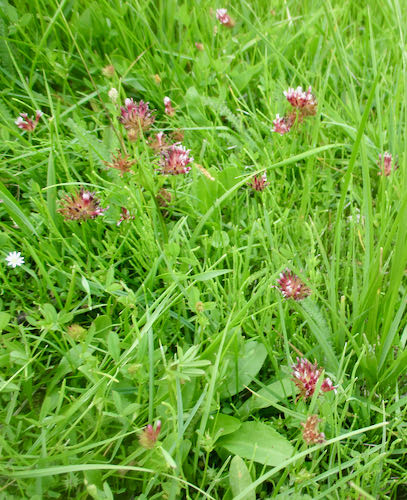
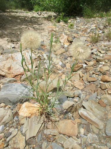
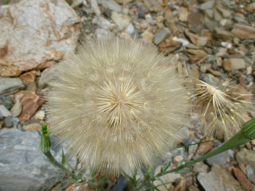
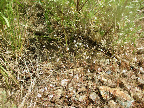
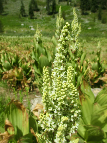
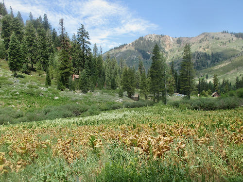
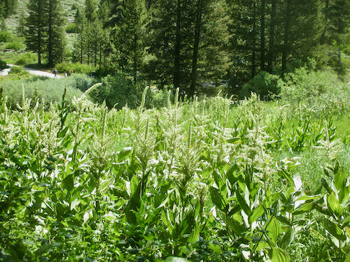
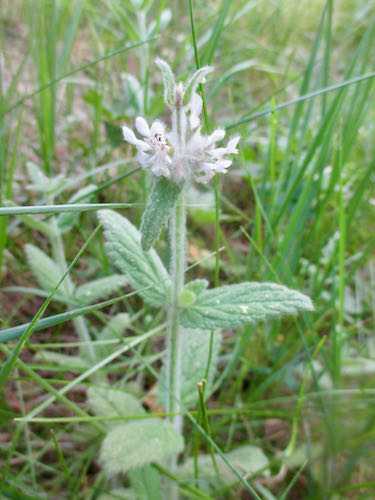
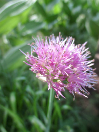
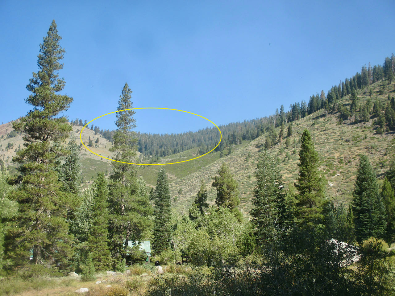
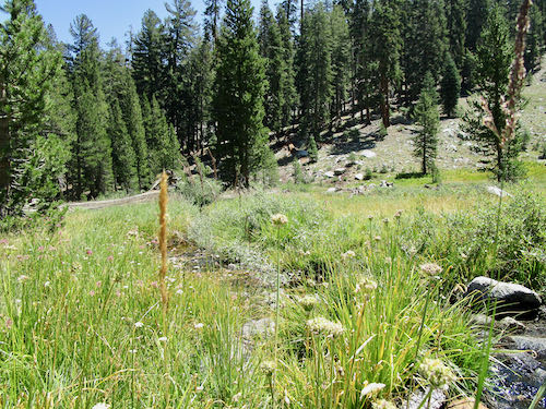
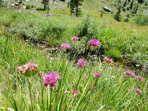
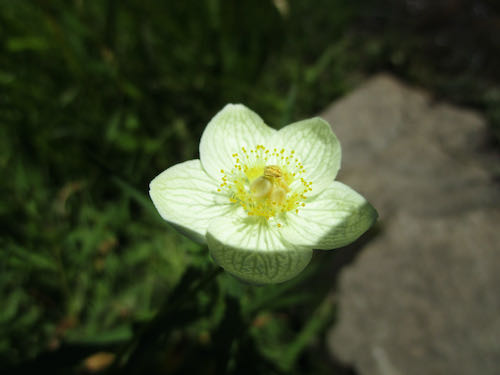
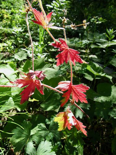
 Back at the cabin, I admired the Corn Lilies in bloom. This is an unusually heavy year for flowers on these plants that are usually just green, looking like and getting called “Skunk Cabbage”.
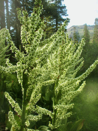
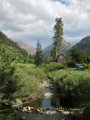
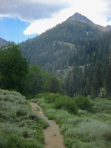
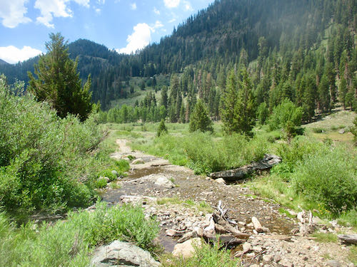
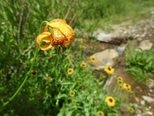
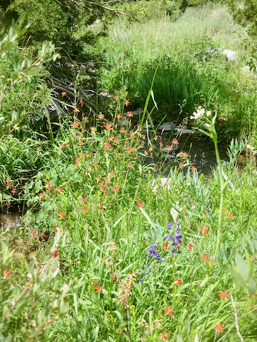
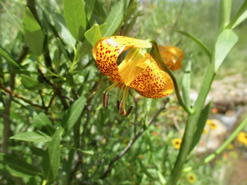
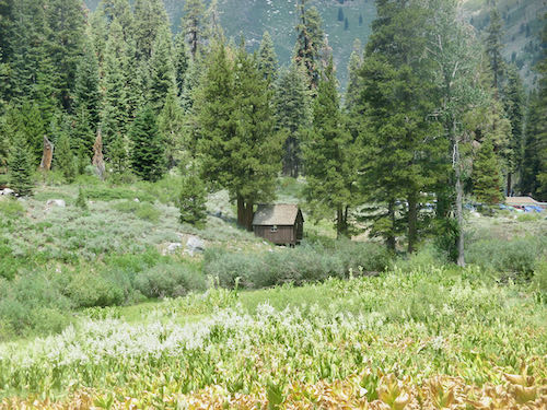
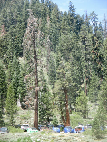
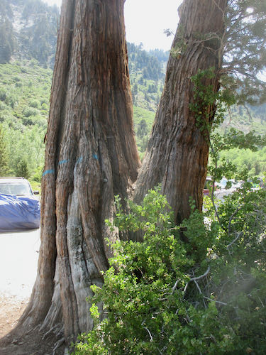
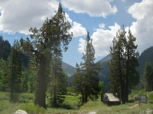
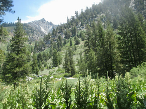
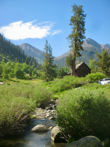
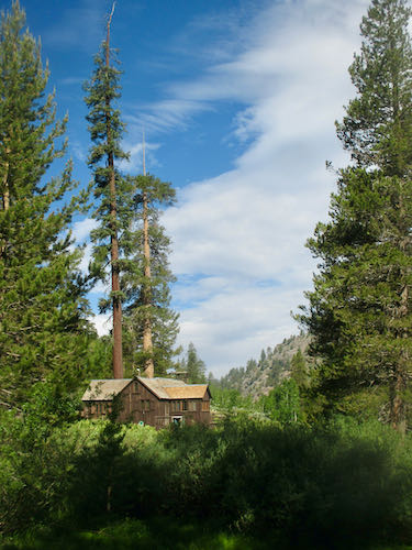
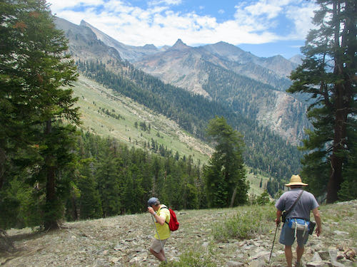
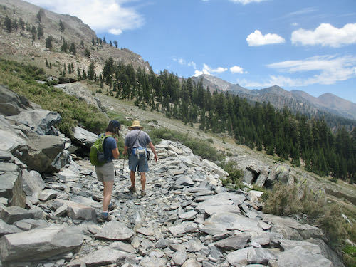
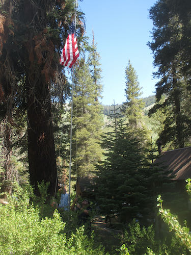
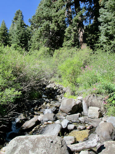
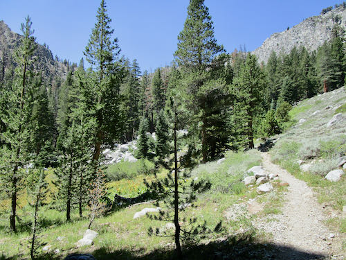
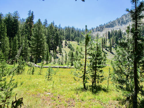
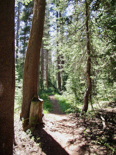
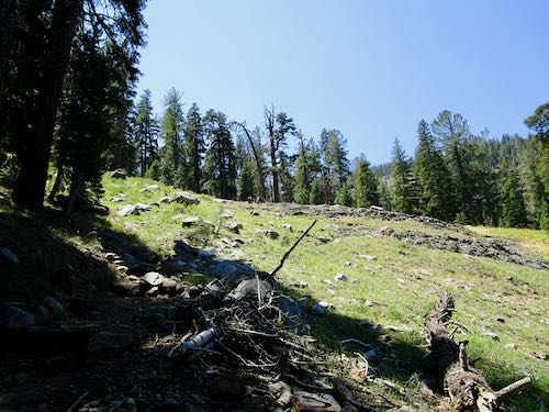
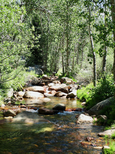
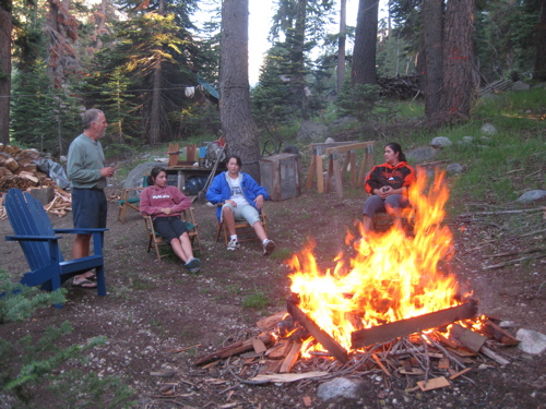
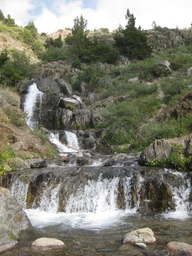
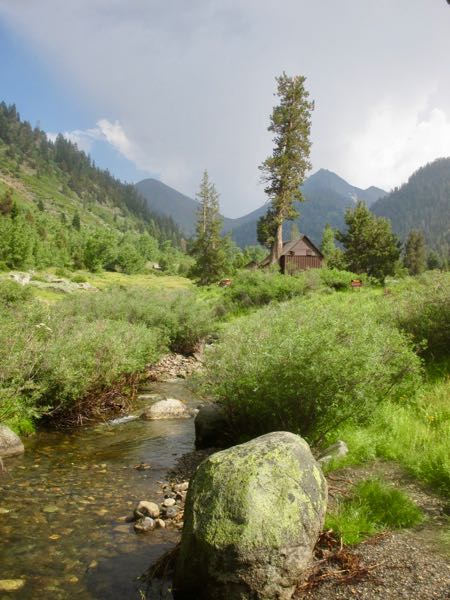
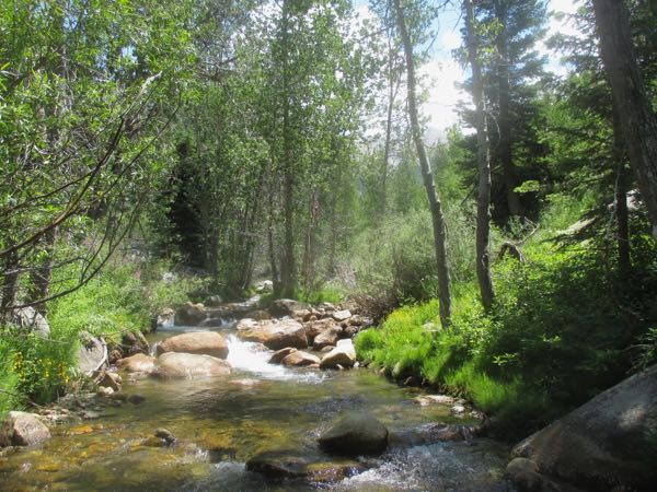
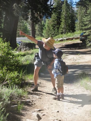
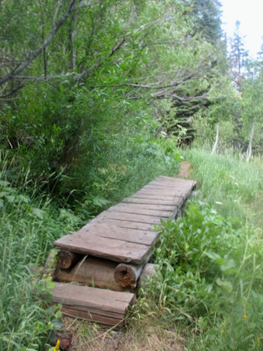
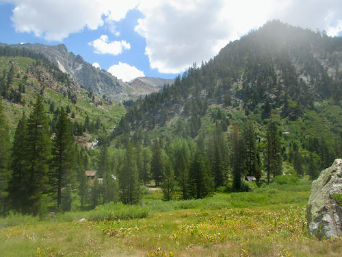
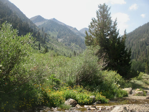
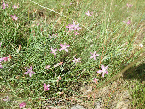
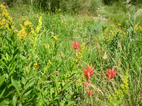
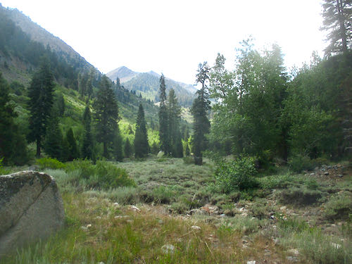
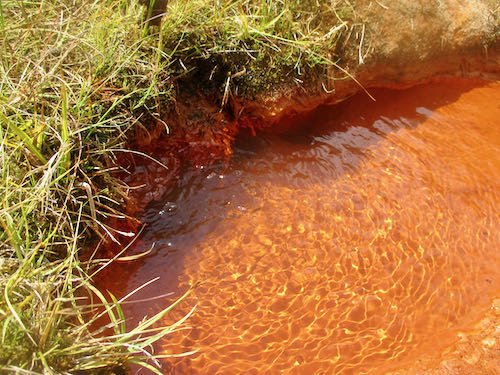
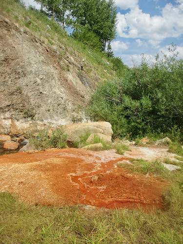
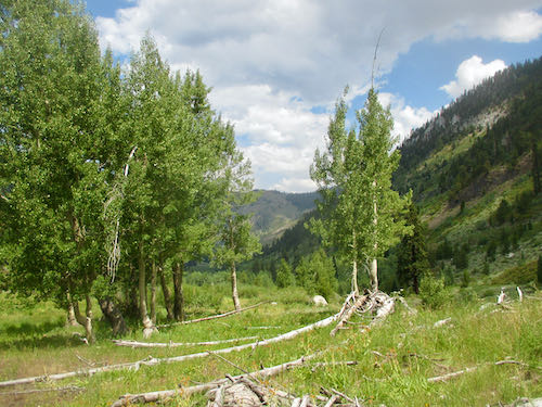
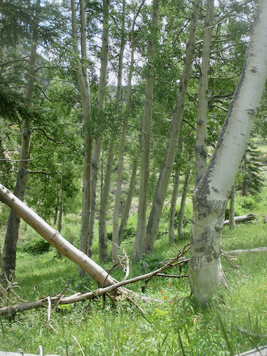
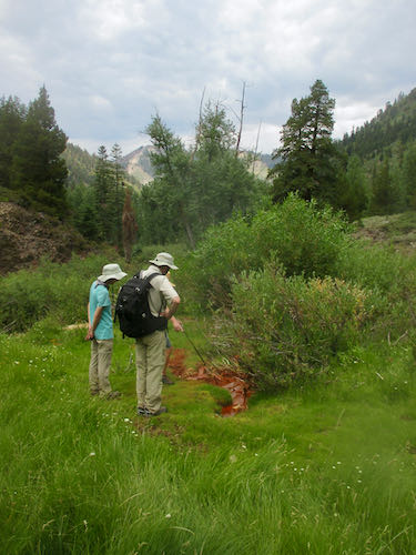
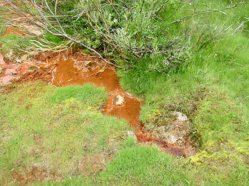
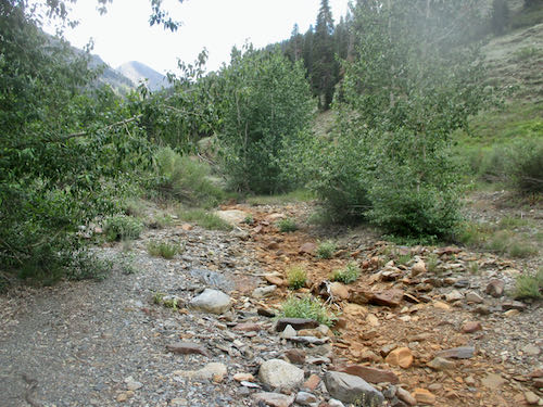
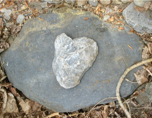
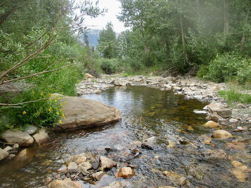
 That title is not exactly true. We sat around, took a short walk to Crystal Creek, visited with neighbors, rearranged garbage in the dumpster and examined the difficult lock, met the temporary law-enforcement ranger, napped, watched the curtains flap in a windstorm, enjoyed a bit of rain. I also painted, read and knit. But we did not hike, because it was too hot.