A week or two ago, I had some time to kill in Exeter. (That is an unpleasant metaphor—forgive me!)
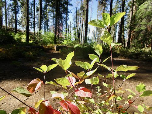
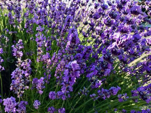
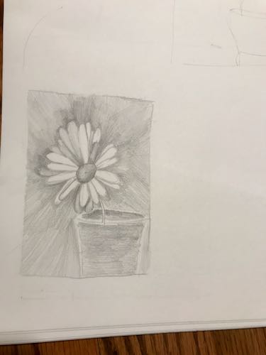
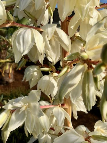
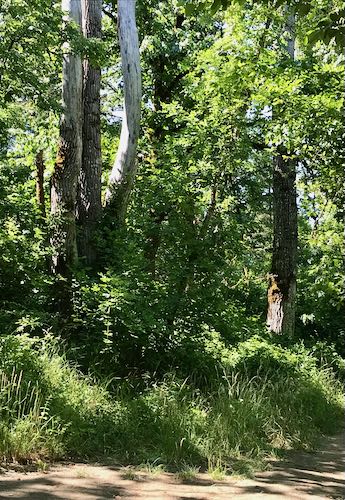
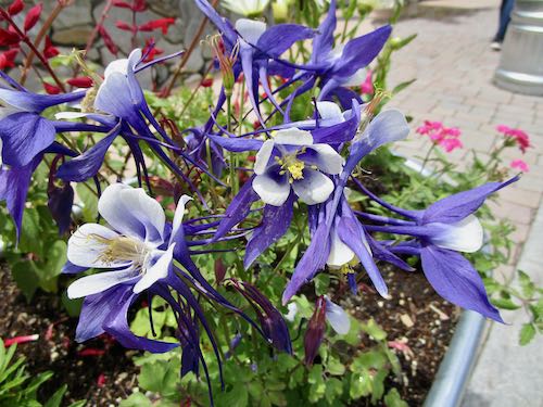
So, I went for a walk. We think we know a place because we drive through it, but walking is the best way to really take in our surroundings. It’s also a good way to find new ideas for drawing or painting. These aren’t necessarily subjects that will sell, but they will be useful to my drawing students who are learning to accurately see shapes, proportions, perspective, values (darks and lights), and textures.
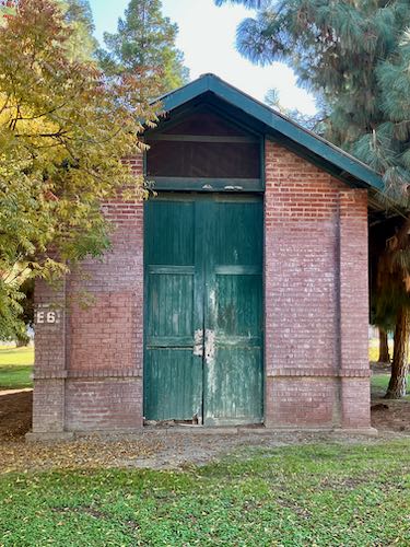
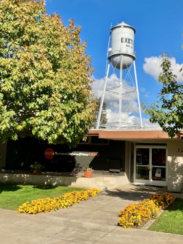
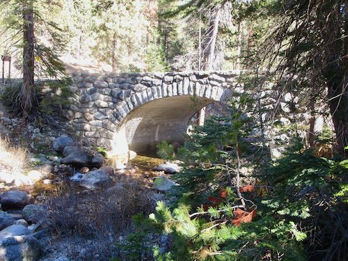
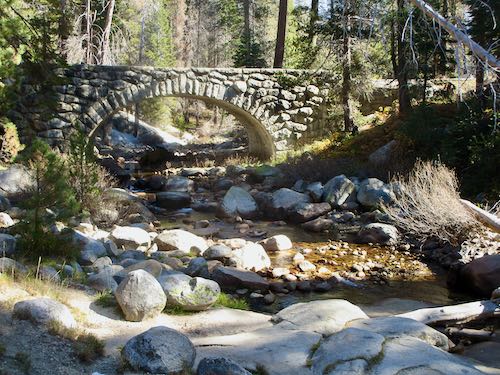
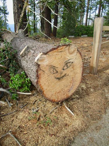
First, I passed a park that someone once told me was called “Spit & Whittle”. However, there were no benches for old guys to sit on, so maybe I had the wrong park. However, I saw this curious structure, imminently drawable in my view.
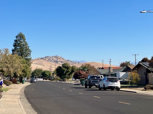
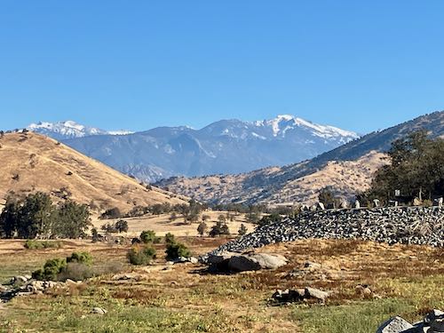
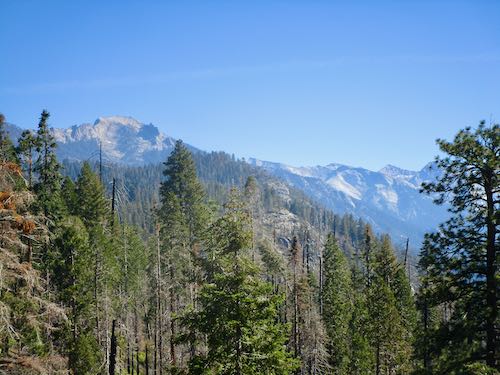
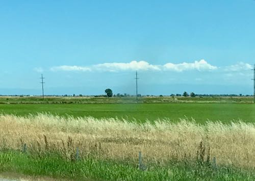
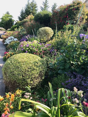
I walked along a basic neighborhood street. The yards all had little lawns in front, some green, some unwatered, and only one lawn-parker. I wanted to relandscape, but no one requested my opinion. So, I just admired the view of Rocky Hill.
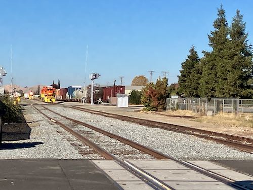
And of course there were some trains. Exeter is a little catty-wompus on a map because it was built around railroads, which follow the shortest route rather than an exact N-S-E-W grid.
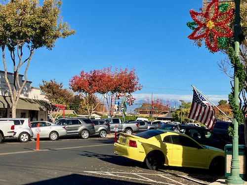
From downtown, there is a view of Alta Peak. There are also American flags, Christmas decorations, fall color in some trees, and markers in the middle of the street, warning against parking on an upcoming evening because of the Christmas parade.
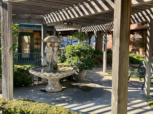
Then I felt compelled to visit the building where my studio used to be. I paid for that brick step, so sometimes I like to just visit it.
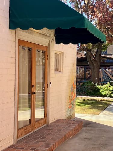
It was a real privilege to be located in the building of the poppy mural.
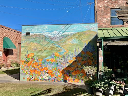
And sometimes I miss being there in the heart of such a great little town, sharing space with a terrific gift shop (Rosemary & Thyme), enjoying the patio outside.
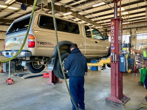
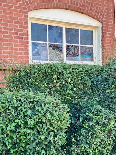
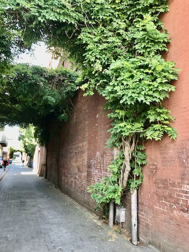
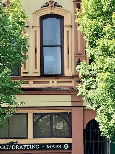
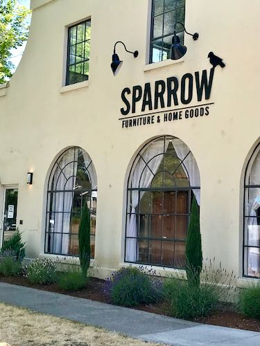
On my way to retrieve the pick-’em-up truck with its new tires, I passed this building. The details on older buildings are so charming, and always strike me as good subjects to practice drawing or painting. Bricks aren’t easy, nor is shrubbery but when one is learning to draw, it’s all hard.
Then it was time to go to the Courthouse Gallery CACHE to teach the final drawing lessons of 2023.
I love to teach people how to draw, love my drawing students, love this location in this little town that I also love.
Aw shucks, isn’t that just sweet?
And remember tomorrow, the little holiday gift bazaar at CACHE, from 10-4.

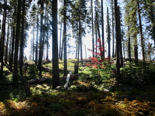
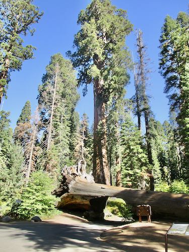
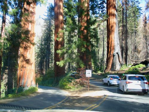
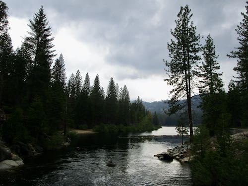
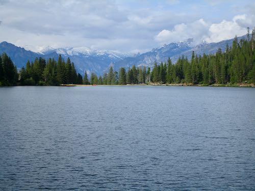
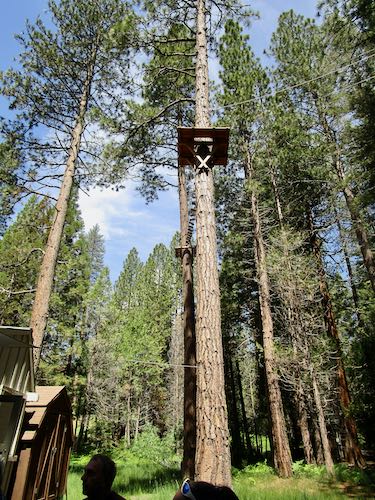
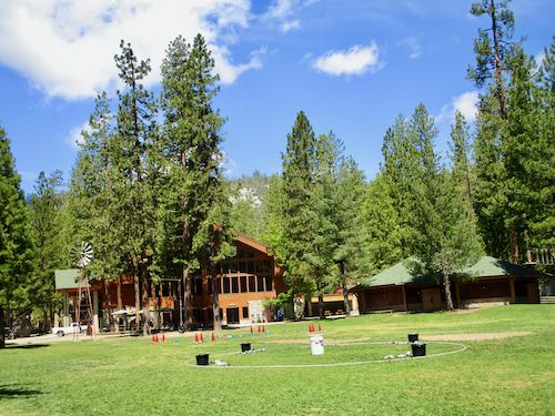
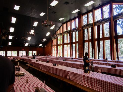
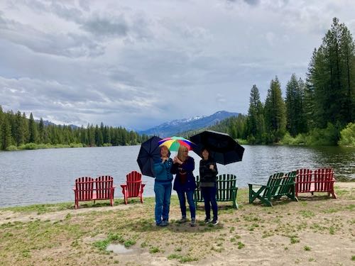 My sixth annual friend reunion at Hume Lake was a week or two ago (time flies). It was a little odd to go to someone else’s cabin before spending time at my own. It was also the first time we didn’t rent some sort of watercraft, and the first time I actually wore long pants. Summer has been slow in arriving this year in the Sierra Nevada.
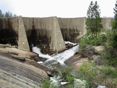
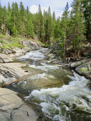
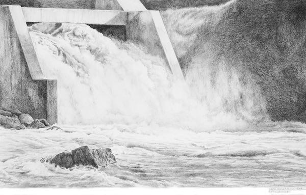
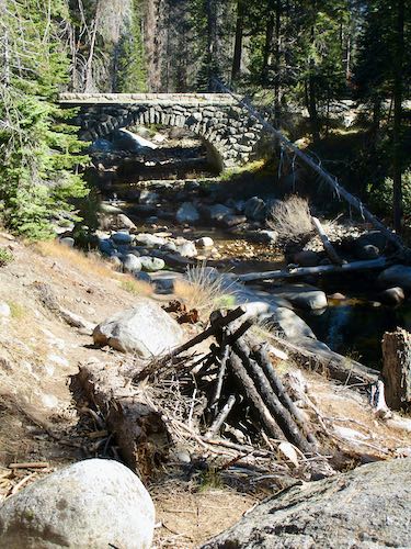
 This walk was after it rained hard so the water is coming over the spillway in addition to the normal release pipes (channels? culverts? tubes?).
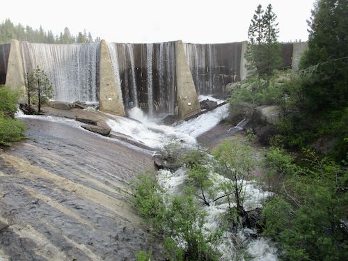
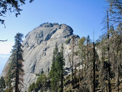
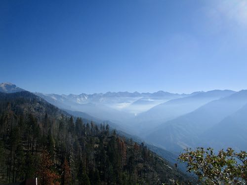
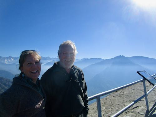
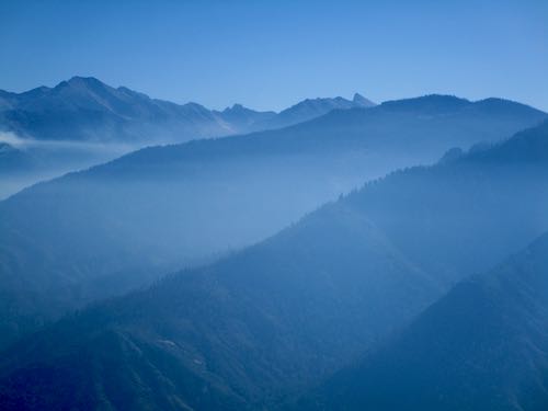
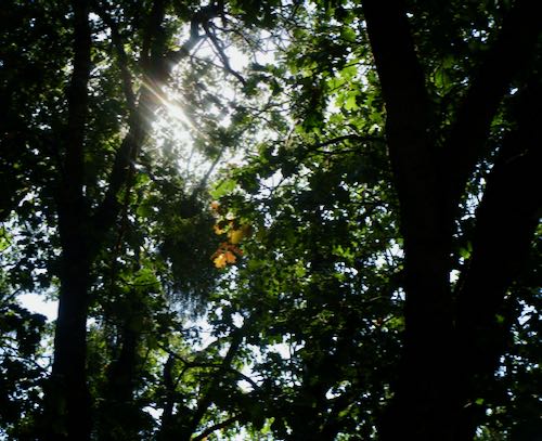
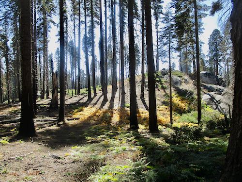
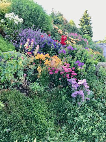
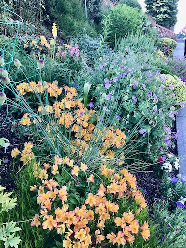
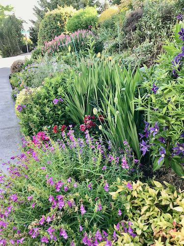
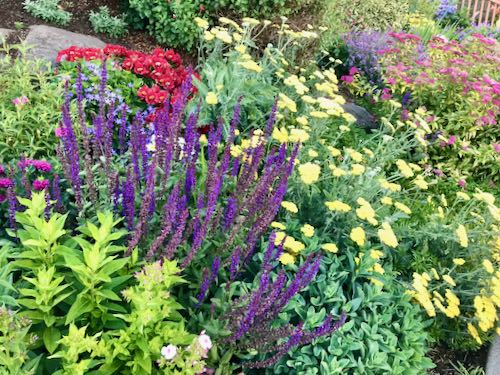
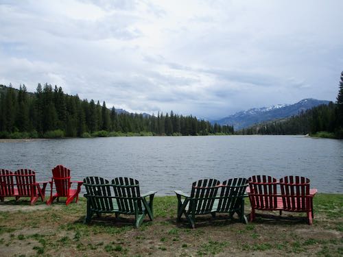
 The morning I left, it was brilliant, just fabulously brilliant.
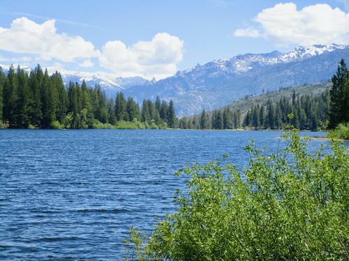
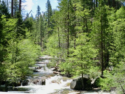
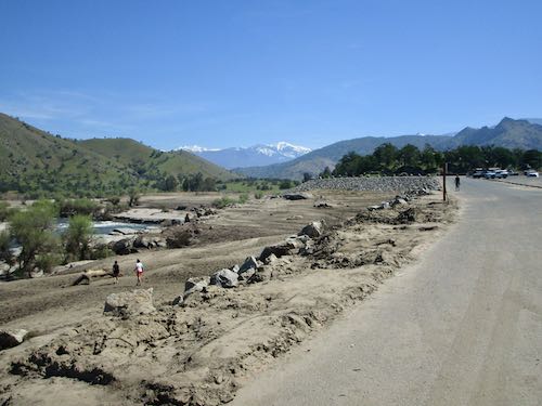
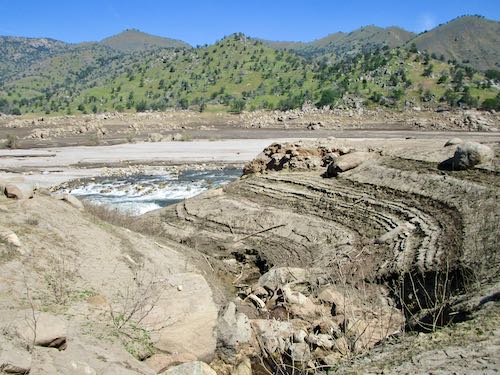
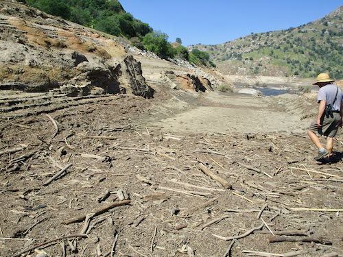
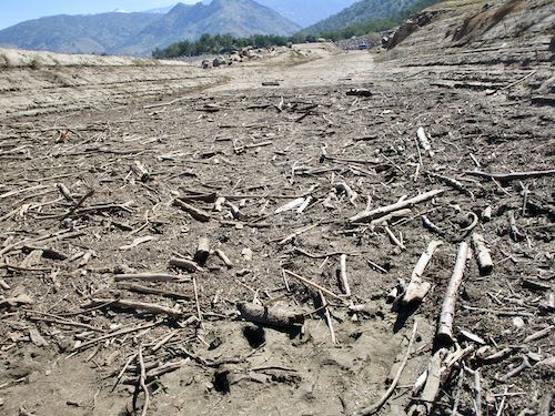
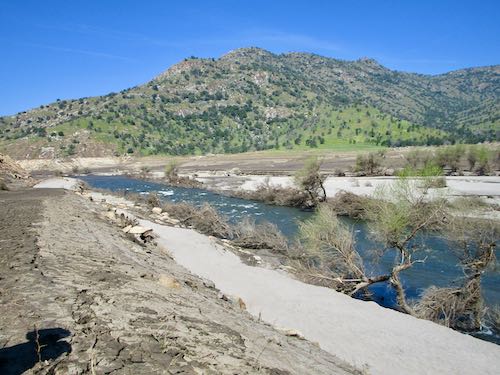
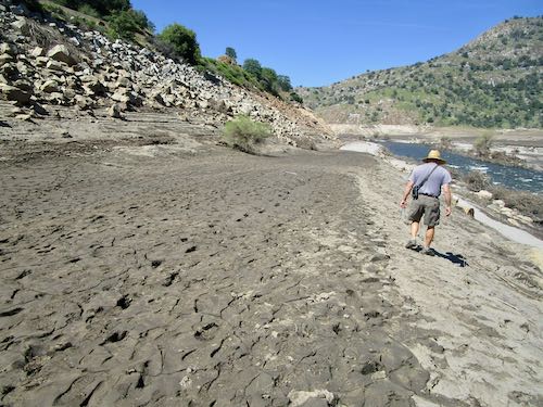
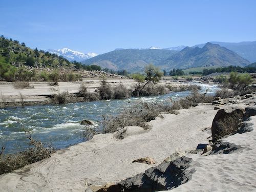
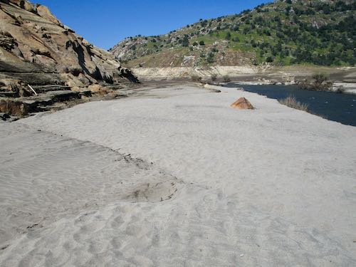
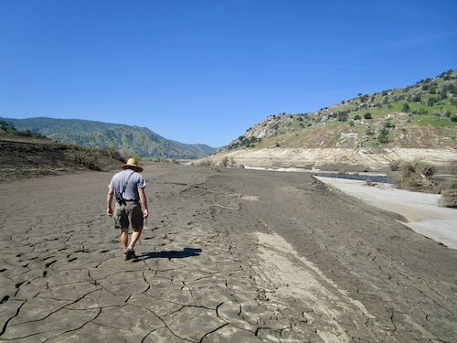
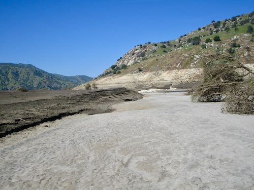
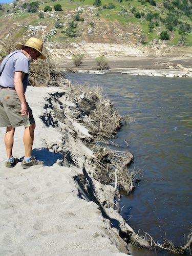
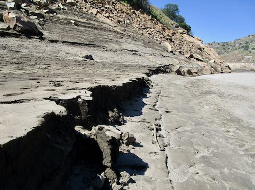
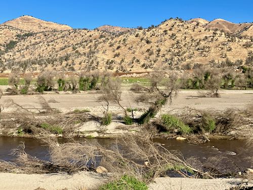
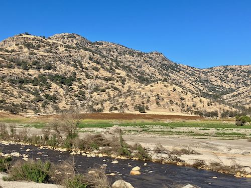
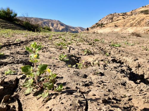
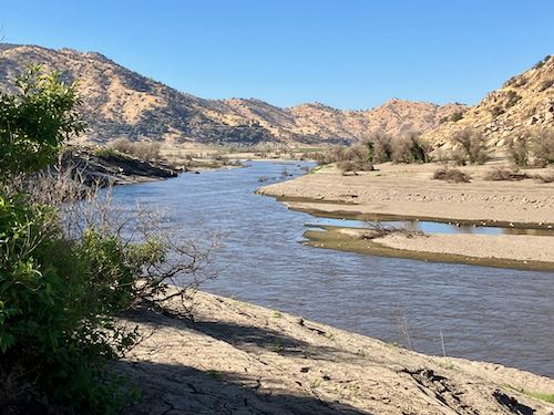
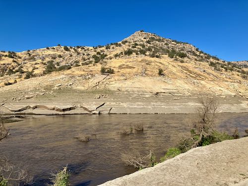
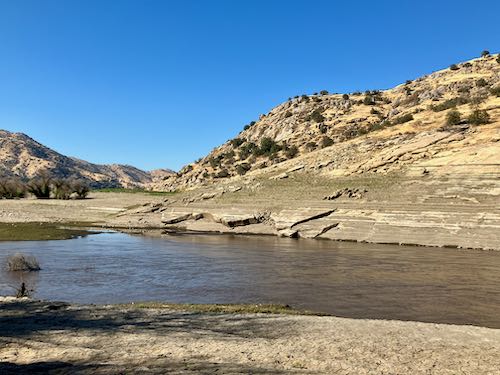
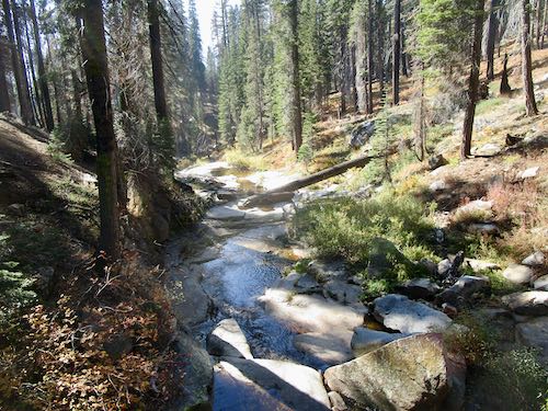
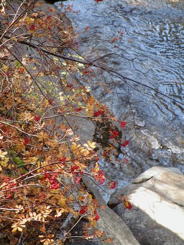
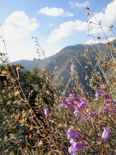
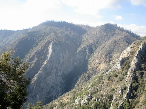
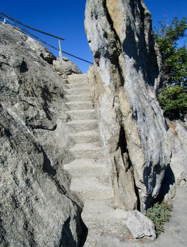
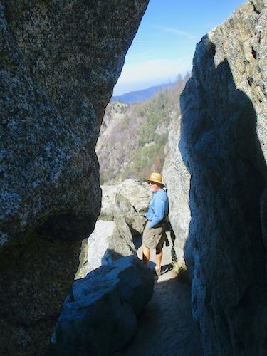
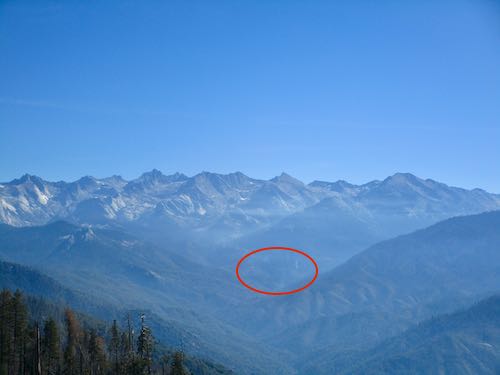
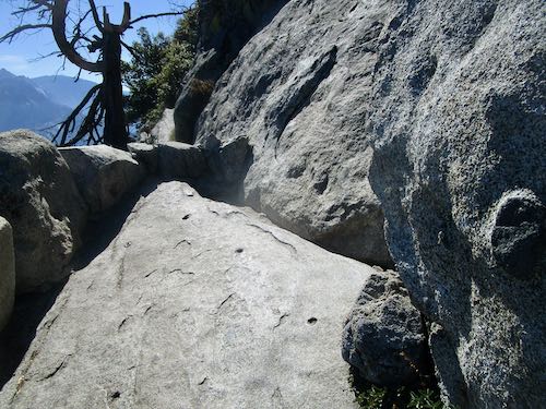
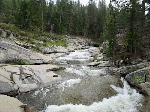
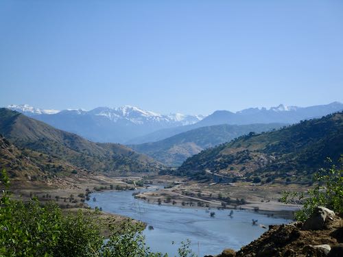 You may recall that there was some serious rain this winter in Three Rivers. I was fascinated by all the rushing water and posted a few times about it in March.