If you receive these posts in email and the pictures in the post don’t show for you, tap here janabotkin.net. It will take you to the blog on the internet where the photos will show.
Sunny Day
Monday was a sunny day, with bright colors, and warm temperatures.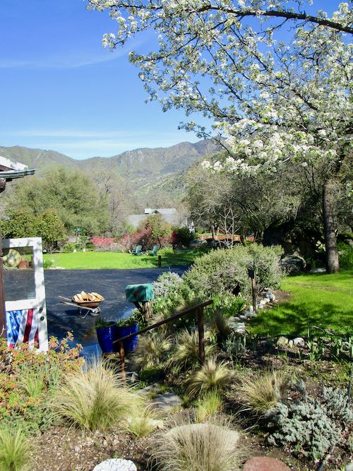
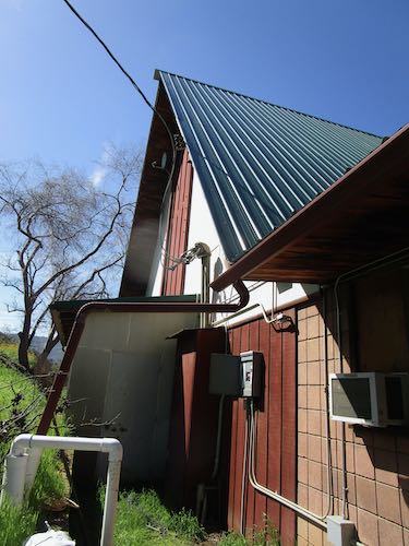
We went to church to deal with a flooded office, broken gutter, and misbehaving water flows.
Then we headed down to Kaweah Lake to see how high (and muddy and full of debris) it looked.
Looking west toward the dam, which is now too far away to see, around a corner.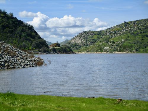
Looking east at Blossom Peak (hill with 3 points)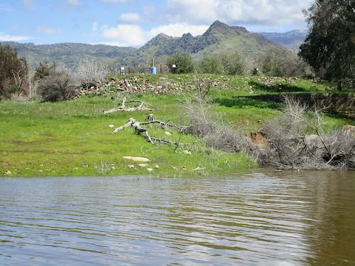
Looking northeast toward Moro Rock and Alta Peak, which isn’t visible under the clouds.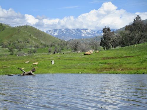
The parking lot at Slick Rock is blocked.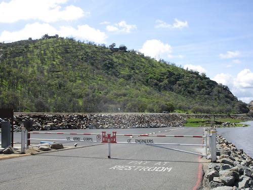
Later I went walking with a neighbor. So very very green, blue, and white!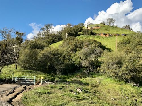
Bush lupine with poppies.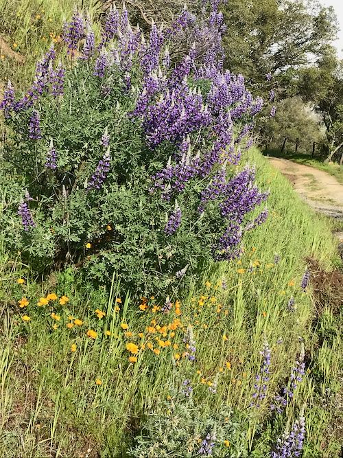
Two more kinds of lupine with popcorn flowers. We just hung out, soaking sunshine and bright colors for awhile. (It was steep, so maybe we needed to catch our breath a little too.)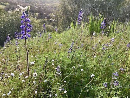
Rainy Day
Tuesday was so different from Monday that it was hard to believe the two days were in the same month, much less the same week. This is how Kaweah Lake looked when I pulled over at the normal view point on my way down the hill to teach drawing lessons.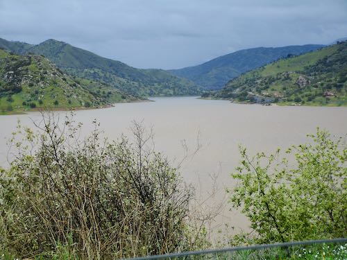
A few roads were narrowed, a main road was closed.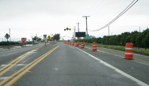
It rained all the way back home.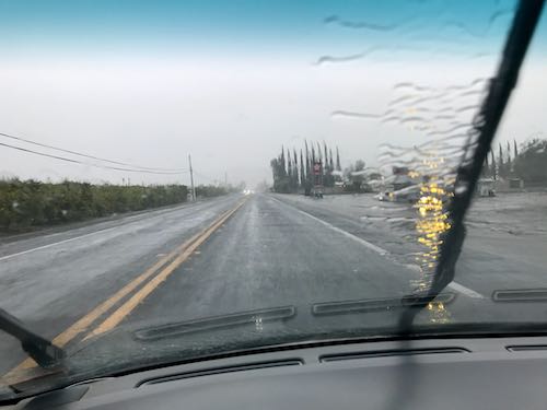
This is the Yokohl curve, where the normally dry Yokohl Creek occasionally flows. Nope, I didn’t pull over in the rain to photograph the water. I focused on my driving, while holding up the camera and hoping to capture something without looking at it. (You’re welcome).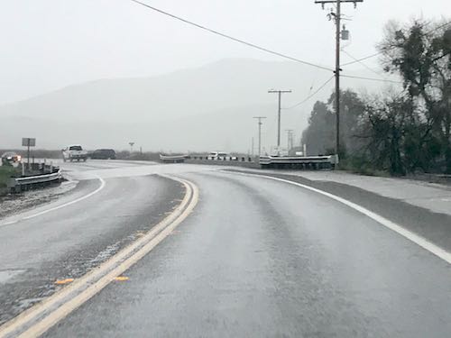
I pulled over next to this grove of pistachios, put down the passenger window exposing the leather seat to rain, and took a few pictures. When it was planted about 7 years ago, I asked the farmer if he had a plan for planting in what is historically a pond during wet years. He thought the pump could handle it. Apparently he overestimated the pump’s capacity.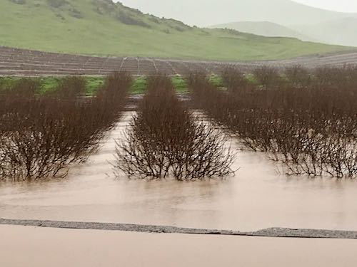
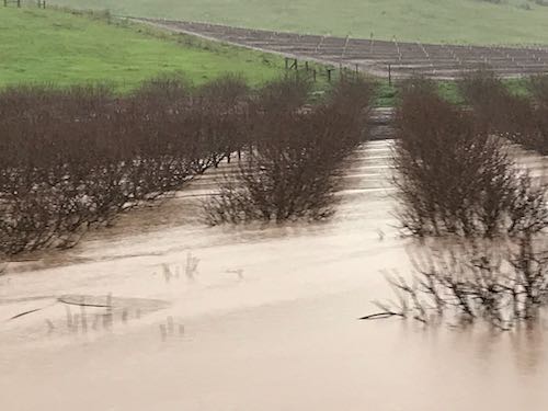
Excuse the blurriness. I just wanted you to see how tall the trees are so you can estimate how deep the pond is. 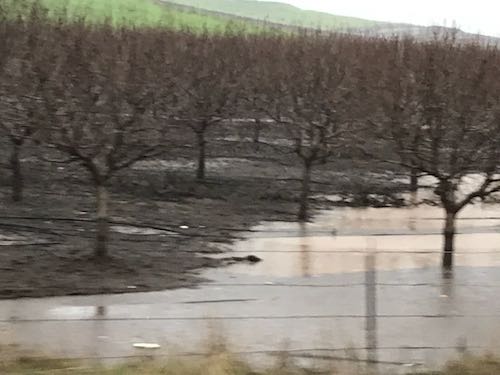
So far we have gotten about 9″ of rain at our house since this series of storms began last Thursday. It ain’t over yet, folks. . . keep your LLBean boots handy!
Maybe we can talk about making art tomorrow.
P.S. Nothing new to report about the Mineral King Road or other road closures or flooding in Three Rivers. Your photojournalist only reports on what she sees with her own eyes.
2 Comments
What a beautiful day of respite on Monday! And it looks like Kaweah Lake is at capacity (at the highest water mark). I haven’t seen that in years!
I heard NPS was going to fly a ‘copter over the MK Valley this week to check for any structure damage. I hope they include photos in their report! From the road photos I’ve seen, it’s going to be a long haul getting it passable by vehicle again. *sigh*
Sharon, yesterday Kaweah was at about the same level as before the dam was raised several (10? 20?) years ago and still had some capacity.
There has been a lot of air traffic in the last several days, both fixed wing and helicopters. Not sure who is flying what or for what reason, except that everyone wants to see what has happened.
Comments are closed for this article!