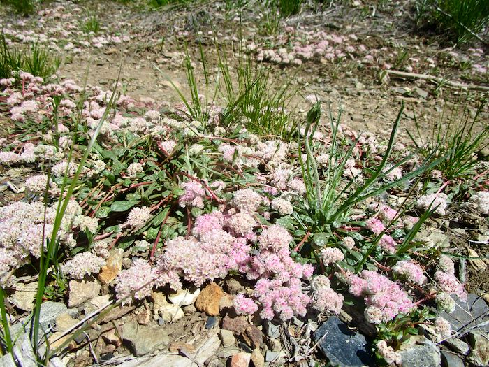
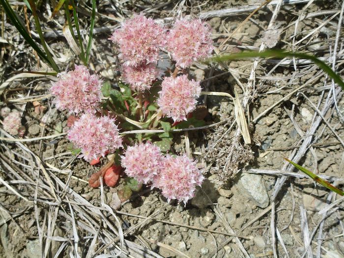
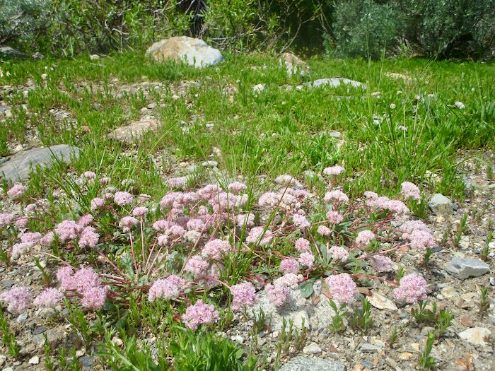
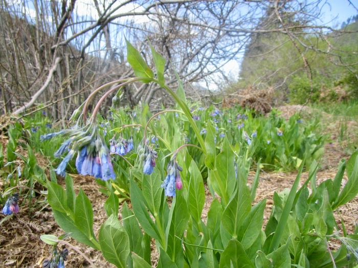
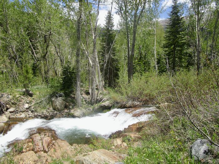
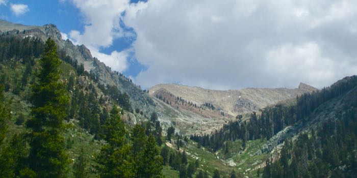
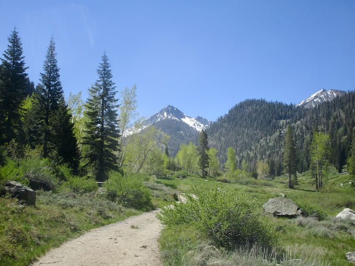
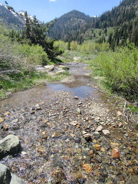
This post will be photo heavy, with some captions for clarity, since a few folks among my tens of readers have never been to Mineral King. (It’s a special part of Sequoia National Park accessed by its own road.)
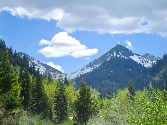
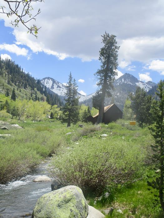
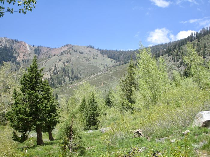
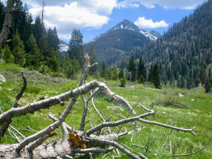
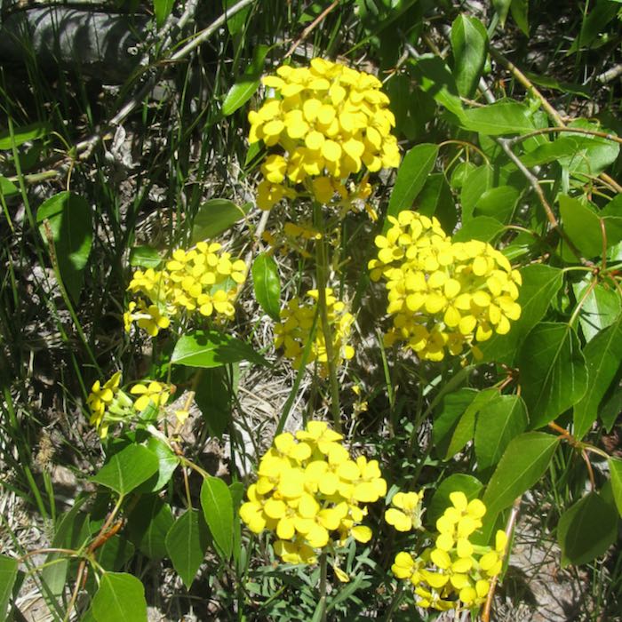
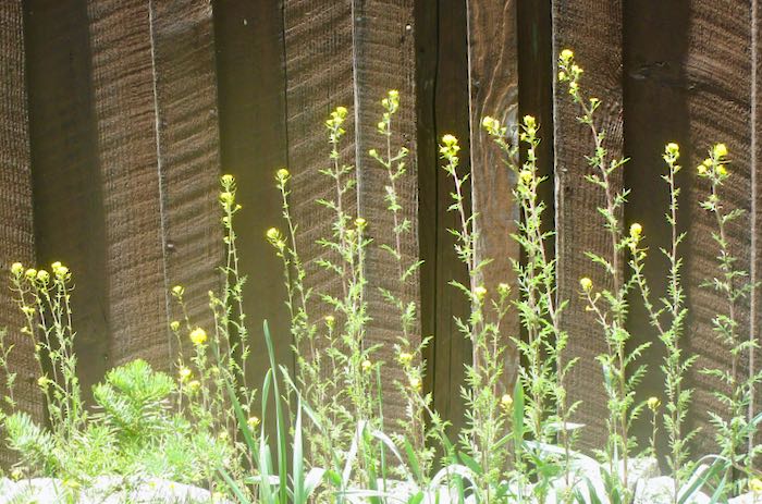
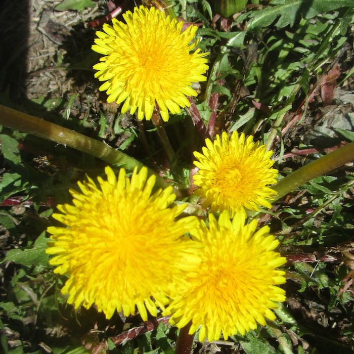
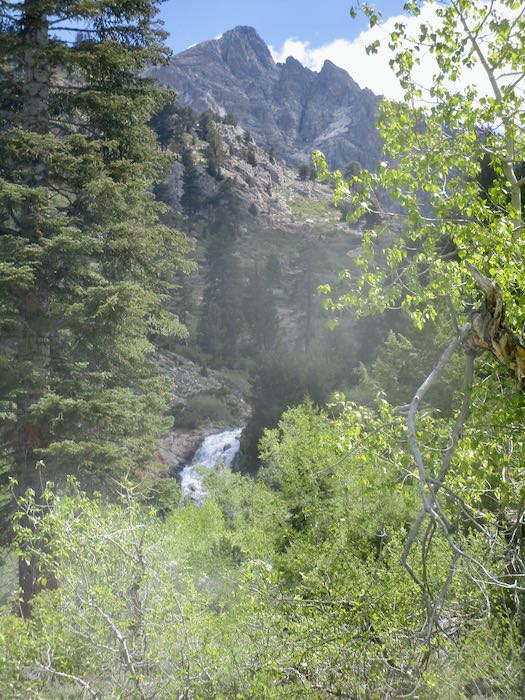
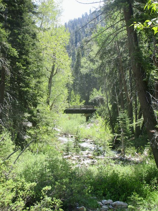
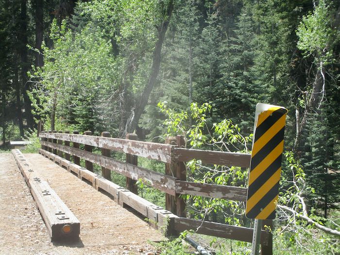
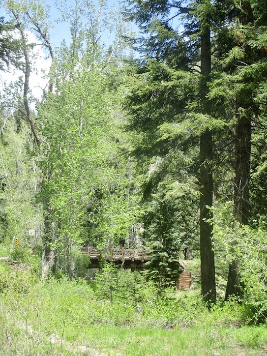
Cold Springs Campground is closed for an undisclosed reason (hazard trees?) but you can walk through on your way to the Nature Trail. The bridge desperately needs painting, but your park entrance fees and wilderness permits and other tax dollars are going to other needs things.
It was a weekend of catching up with old friends, splitting wood, taking walks, reading, knitting, and eating. So many people brought us food: focaccia, pizza, dark chocolate (my vice), wine (someone else’s vice), carrot cake… never mind watching the blood glucose when surrounded by generous friends!
The Road
The lower 8 miles of county road is worse than ever, thanks to the heavy trucks and equipment working on the park section. The next 10 miles are utter perfection—thought I was on the wrong road, or perhaps dreaming. It reverts to mess briefly right below Slapjack, and again around Redwood Canyon. I think the new pavement stops above Redwood, but since it was in fits and starts for awhile, I lost track. The upper dirt sections have a new layer of roadbase, which has been graded. However, it won’t take long until those sections deteriorate into corduroy. Those sections extend a mile above Silver City, and then the road becomes its old familiar mess of ruts, potholes, dirt, rocks, etc. Just go slowly and your car will be fine. (Fernando would love the new road. Sob.)
4 Comments
What a beautiful place! It must be exciting to get back up there after being away for so long.
Michelle, “exciting” isn’t quite right. Comforting, like returning home, is closer. Dang, that makes me sound like a snob.
Thank you for posting these iconic Mineral King Valley scenes, Jana. They truly almost make me feel I am actually there. I’ll be looking at this post often!
Thank you, Louise. There will be more. . . stay tuned!
Comments are closed for this article!