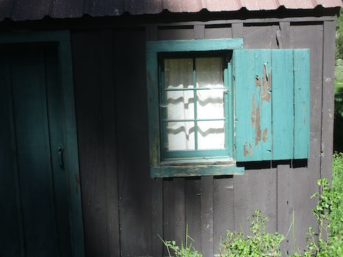
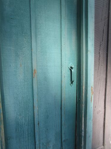
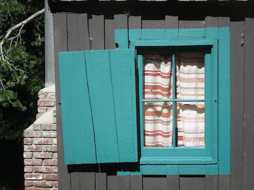
There is always work to be done on cabins; I’m the self-appointed Chairman of the Neighborhood Beautification Committee. As such, I said “I can” when a neighbor asked if I knew of anyone who could paint the trim on his cabin. The very faded and peeling trim.
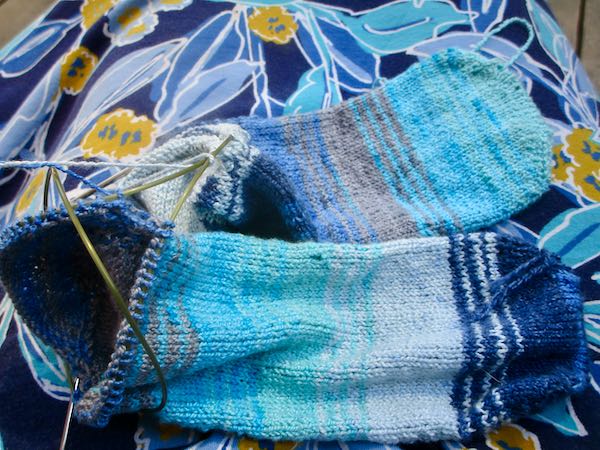
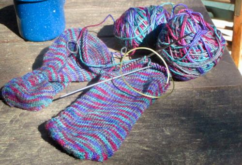
A new pair of socks is on the needle (yeppers, one pair at the same time on one needle).
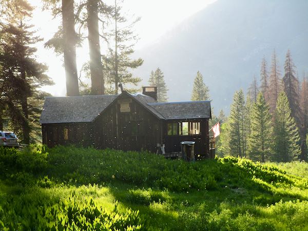
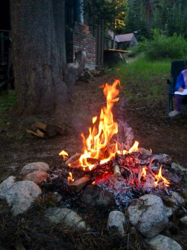
There was a lovely evening time around a fire with neighbors who are cherished friends. We choose to hang out with our neighbors, and time up the hill is always enhanced by their presence.
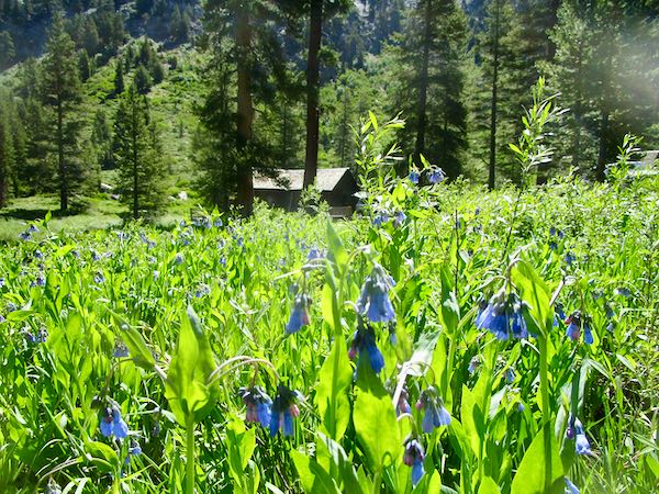
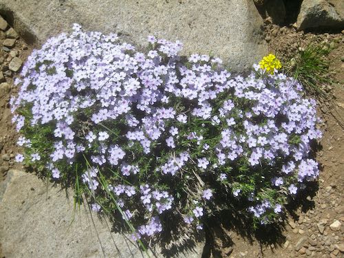
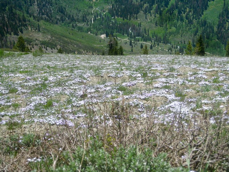
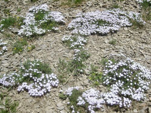
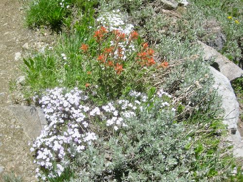
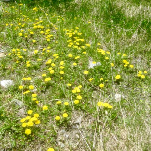
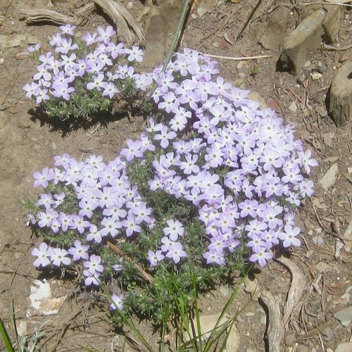
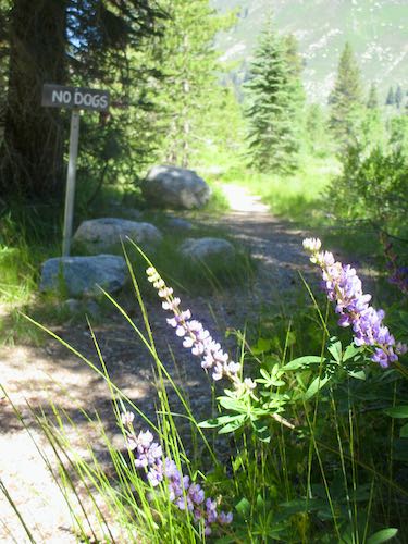
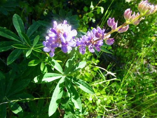
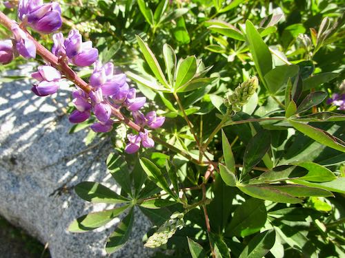
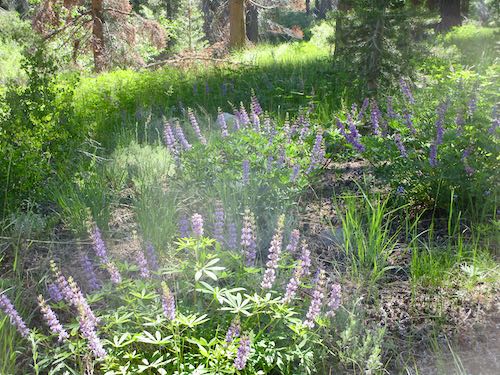
I took a short (very short) walk to see what is in bloom. The lupine are profuse.
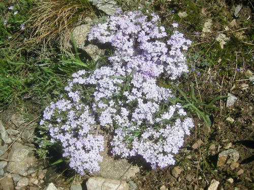
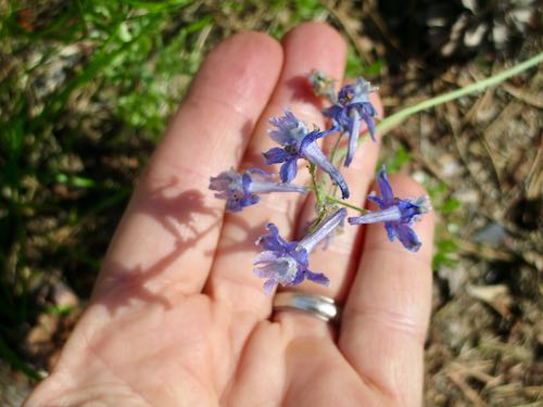
There is more larkspur than in the past, and it is very small.
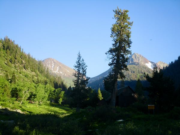
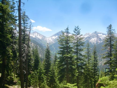
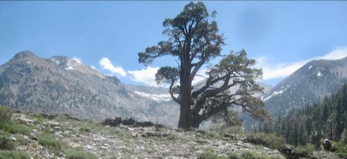
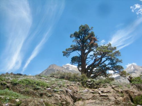
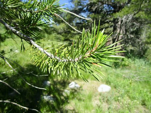
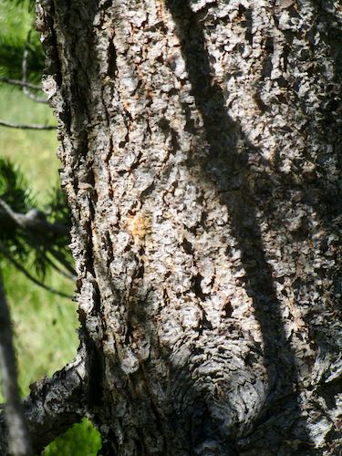
In my ongoing efforts to learn trees, I stopped to photograph this lodgepole pine. Did you know that lodgepoles are the only 2-needle pines? That means the needles grow in pairs. Duh.
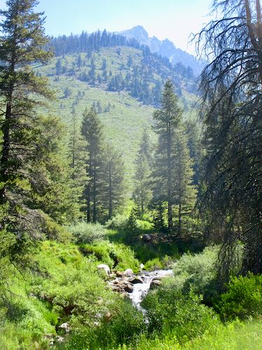
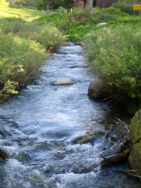
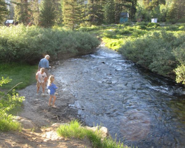
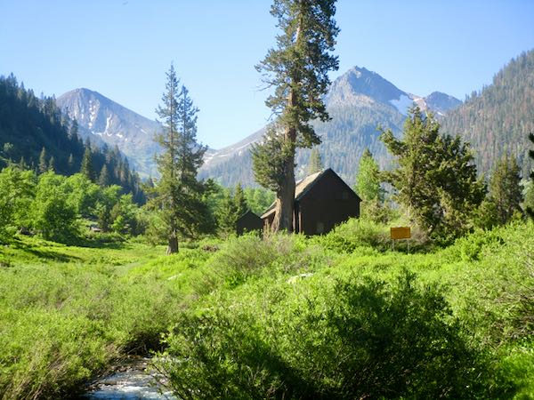
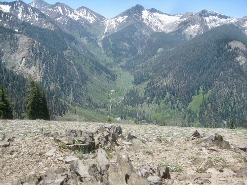
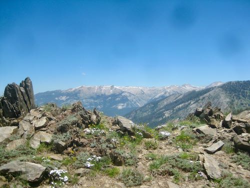
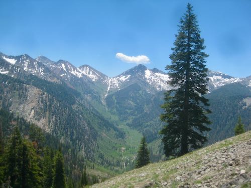
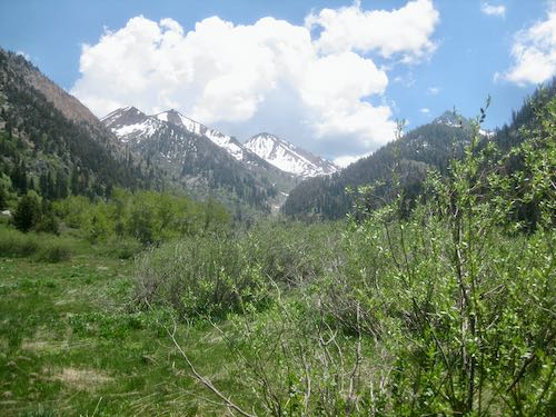
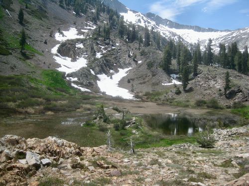
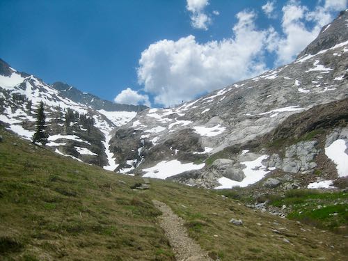
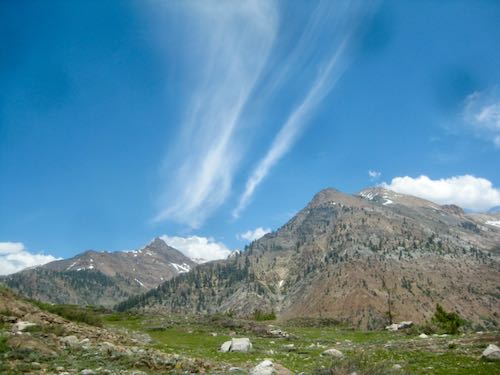
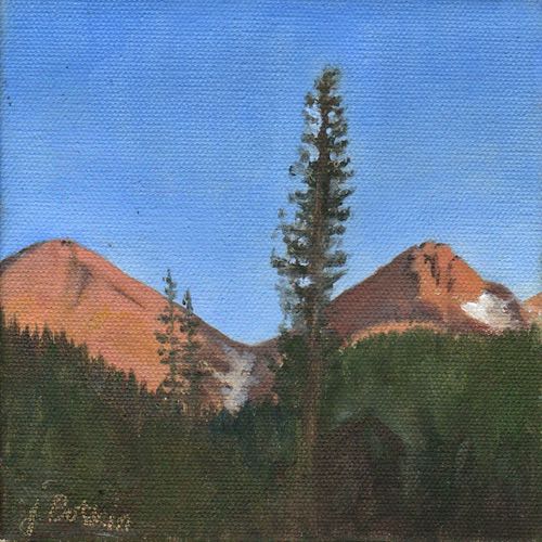
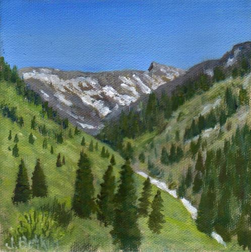
There is still whitewater, and yes, that is smoke obscuring the rock outcropping on Empire. There are multiple fires in the Sierra Nevada foothills right now.
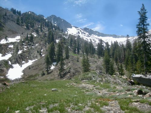
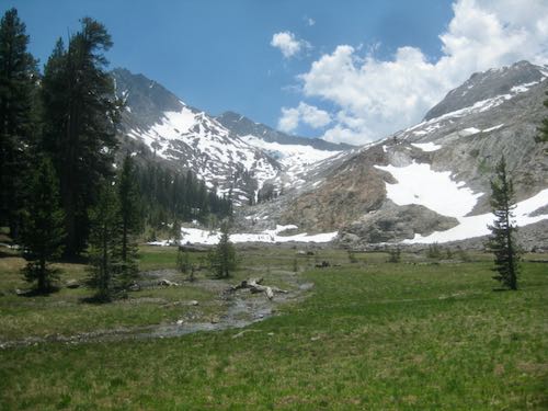
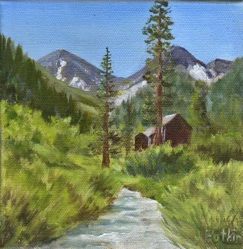
It was so very green (if I ignored the smoky sky and the dead trees.)
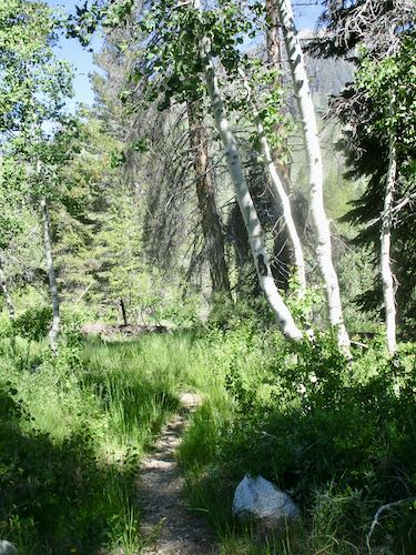
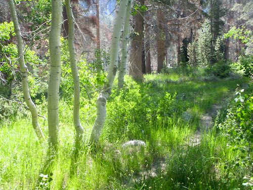
Heading back, I was struck by how different this little group of aspens looked with the sunlight behind. (It is the same group of four shown in the previous photo.)
Thus, we conclude another few days of hanging out in Mineral King, keeping occupied without hiking.