‘splorin’

Three Rivers is a very spread out community with the Middle Fork, South Fork, North Fork and East Forks of the Kaweah River flowing down long canyons. (Yes, I know this is four rivers; I don’t think the town namers were paying full attention).

Trail Guy and I went exploring; we wanted to find a road and see if it connected to another road. (Vague enough for you? Gotta protect privacy. . .) We found the road, but our key didn’t fit the locks, so we kept driving up South Fork. There is a campground that is part of Sequoia National Park at the end, and we hadn’t been there in many years.

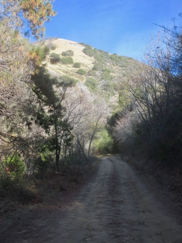
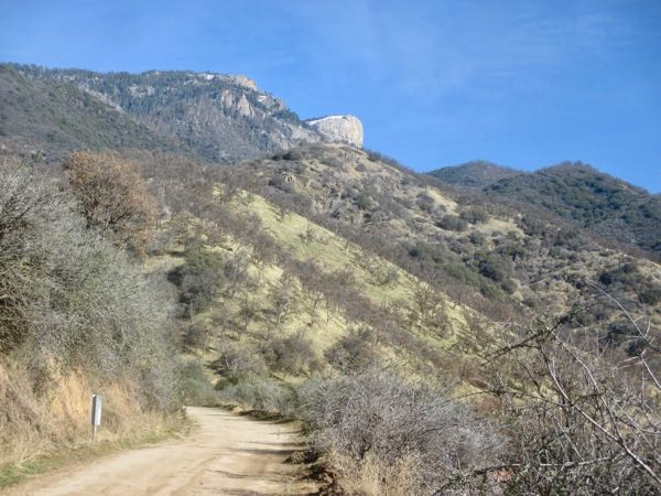
The road is terrible. Truly terrible. Rough, rutted, rocky. Unmaintained.

This isn’t the rocky rutted part; it was too messed up to pull over, get out and photograph in those places.
There’s a view of Homer’s Nose that makes it look deceptively accessible.

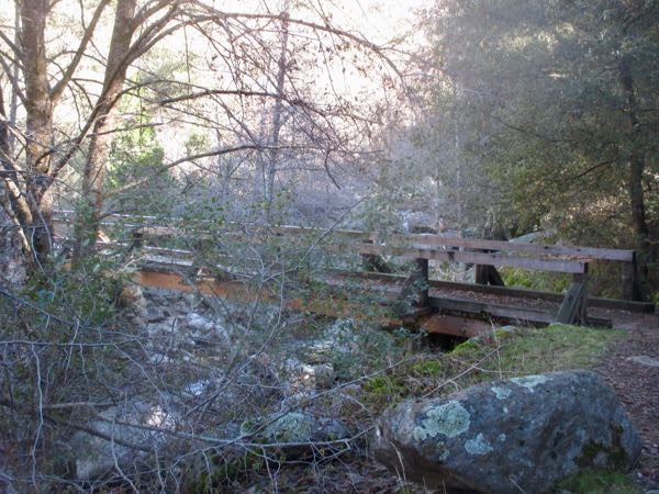
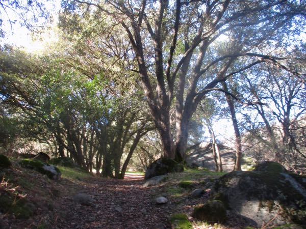
In the campground is the trail to Garfield Grove, Giant Sequoias 2.9 miles away. And a footbridge, across which is the trail to Ladybug and to Clough’s Cave (with a gate across the opening).

The footbridge was icy. Trail Guy crawled underneath to see if it was the same one he helped build back when the Earth was young.
Brrr, I’m heading to the sunshine.
Good thing I went walking this morning already, because I only want to sit on the tailgate and contemplate things in the sunsine.

We ran into someone we knew from Three Rivers, just home from a yearlong assignment in Macedonia. As we were catching up with him, some people came off the trail, overheard us, and came over to say that one of them got home from Macedonia yesterday. What?? This sort of thing just gobsmacks me. Ever been gobsmacked? It is sort of fun.

South Fork

Maybe March is my favorite month instead of February. It is so green and the redbud are in bloom, along with lupine, poppies and a great variety of other wildflowers. Michael and I drove up South Fork Road, which follows the South Fork of the Kaweah River (hence, the name). Something that always just twists my sense of geography is the clear view of Homer’s Nose from the upper end of that road.

We stopped 4 miles from the end of the road and unloaded our bicycles. It was a long slow pull to the campground, but oh so very pretty.

There were lots of choices.

We stashed our bikes and headed toward the water.

Clough’s Cave is on the other side of the river and used to be open to the public. I had never seen it, and Michael had described its location to me at some time in the past. We followed our noses (and a trail of litter), which led to getting sort of bluffed-up and no cave. We slid back down, thought it out, and found the abandoned trail to the cave. It is slippery with oak leaves and acorns, and several places made me question the wisdom of following it to a closed-off cave. A few cave-wreckers have caused the Park to seal the cave off from the public.

If you climb some rocks and then lie on the ground, this is what is visible. If you turn around, this is what you see:

Lots of textures, snow on the peaks, the canyon winding its way upward, and even a belt of black oaks still without leaves. Tulare County is so large in acreage, so vast in its variety of terrains, with far more to explore than I have days off!