Hiking In Mineral King (Trail Guy, Not the California Artist)

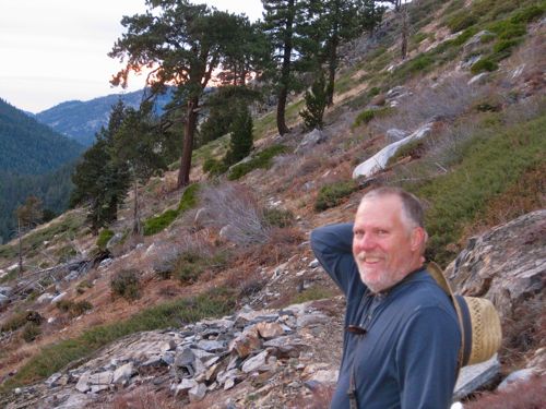
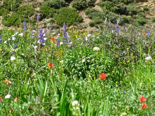
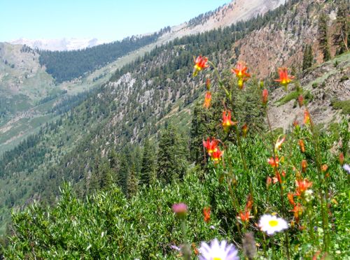
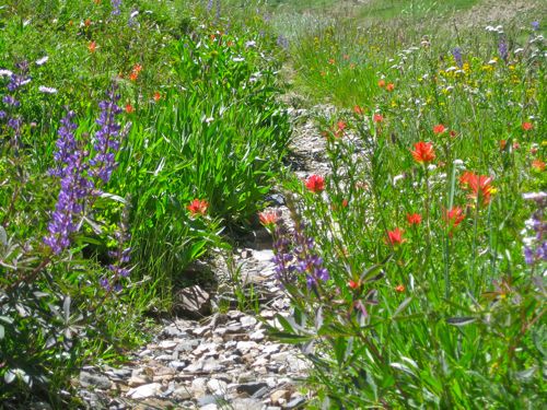
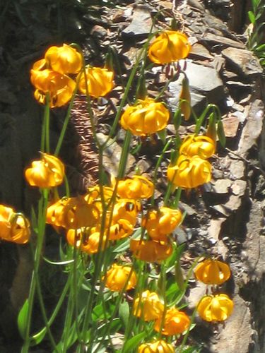
Trail Guy, AKA The Retiree, does a tremendous amount of hiking in Mineral King while I’m in Three Rivers trapped on the phone with AT&T because my email doesn’t work. But I’m not bitter. I enjoy his photos, and then you get to enjoy them. These will mostly be without comments. All you need to know is that they were all taken along Mineral King trails (and in between, because Trail Guy don’t need no stinkin’ trails!)

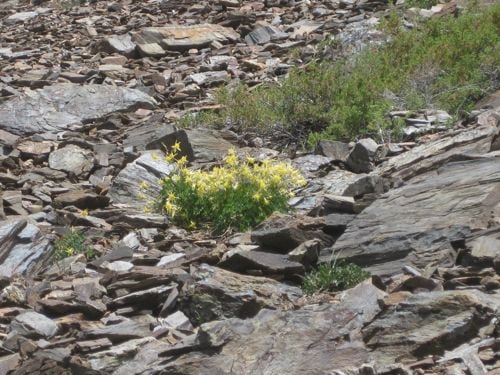
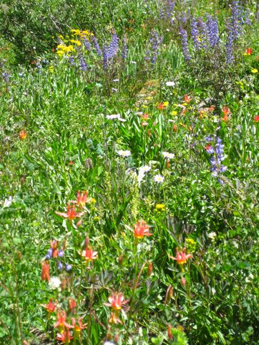
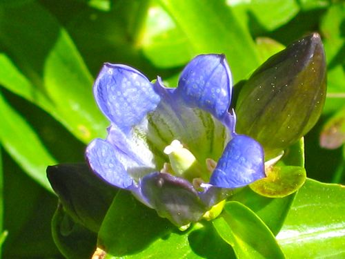
Pride of The Mountains

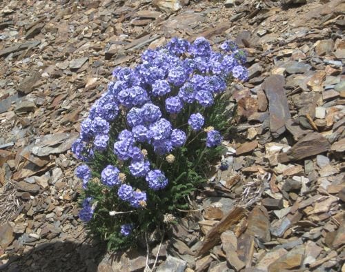
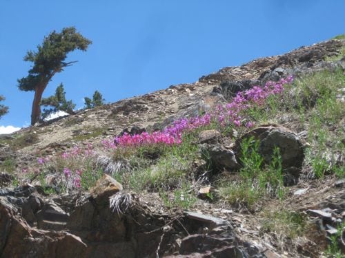
Sky Pilot

Sierra Columbine

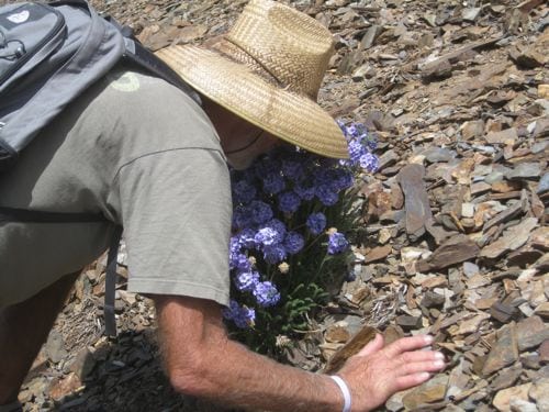
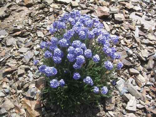
Sky Pilot

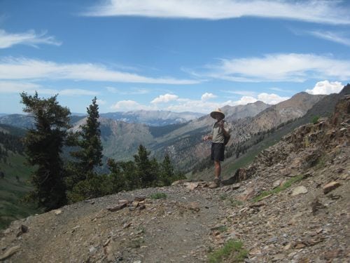
Steven in Farewell Gap

This is our dear friend Steven who walks 12 miles a day and gets paid for it. These trails were no problem for this guy!

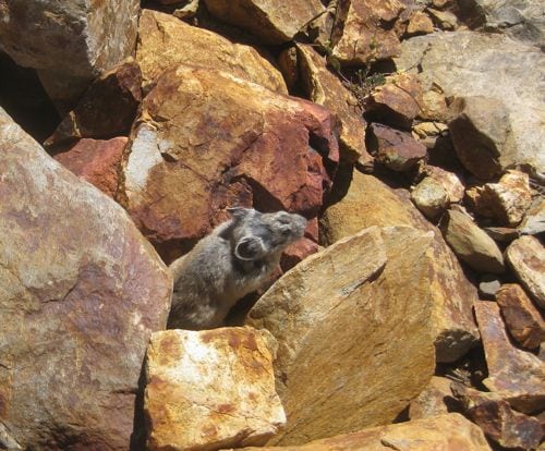
pika

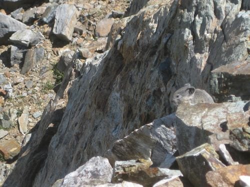
This is a Pika, pronounced “PEE-ka”.

pika

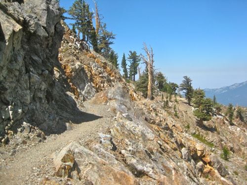
Monarch Lake Trail


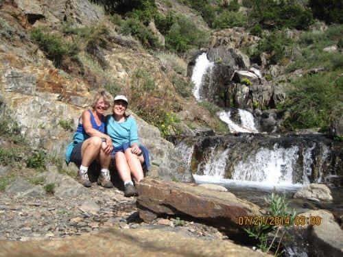
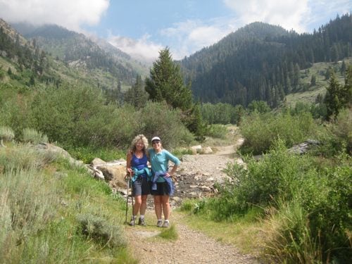
Friends in Mineral King

There is something very unique and special about cabin communities. The friendships go on for life and through generations. Instead of yammering on and on, have a look at a very special Mineral King friendship.

Friends at Franklin Falls

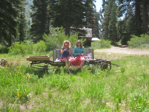
Friends knitting in Mineral King

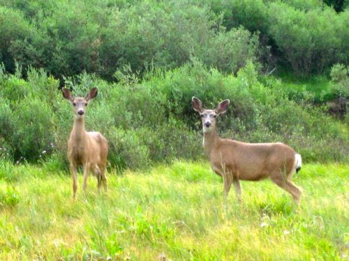
Mineral King Deer

I’m not close friends with these guys, but they might be close friends with one another. At least they aren’t eating my geraniums in Three Rivers.

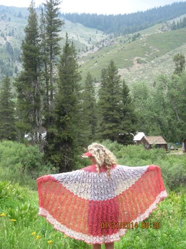
friends in Mineral King

I knit, my friend helps me weave in the ends, and she models for me: a perfect blend of skill between Mineral King friends.

What Do We Do In Mineral King?

Sometimes in Mineral King we just hang around the cabin, knitting, splitting wood, reading, playing a game called Mancala (I don’t like games but this is a tradition with my annual guest PC, and besides, the marbles are really beautiful), and baking pies in a wood stove oven.

Then we say, “What are we doing?? It is a beautiful day, and we could be out on a trail!”

Sometimes, a hike is just too much trouble. Pack up food, water, be prepared to be gone the bulk of the day, find a walking stick, do you need a poncho or parka, which camera shall we take, can I fit in this knitting in case I’m just sitting around?

So, we opt to not take food or water and just go for a walk.

Look Ma, no packs! It is just a walk, not a hike, after all.

A mighty steep walk. Some parts of the trail to White Chief are so steep that I have to do them on my tip-toes, because it is hard for my feet to bend at the angle of the trial.

As we were heading up the trail, I kept wondering, “Who Moved My Chief?”

Okay, that’s far enough. Can we go back now? It looks sort of as if it might rain.

Good camouflage, Miss Deery.

Weird sky, weird glowing light on Sawtooth, which is behind the darker peak that we call “Sawtooth’s Shadow”, even though its real name is “Mineral Peak”.

Final view of the trail as we hurried back to the cabin – aren’t those walking sticks interesting? Handy if you are heading out, but they won’t keep you dry in the rain.

PC LOVES the rain! I can tolerate it if I have a decent parka or poncho, and Trail Guy HATES to be caught out in it. The whole gamut of rain opinions resides in our cabin, but we are all immensely grateful for any water that falls from the sky.
 

Hike to Empire, Part 2

We left our eight hikers at the bunkhouse ruins just below the Empire Mines in Mineral King.

There are four different mining holes. (Are they called that?) I don’t know if they are separate mines, or entries to the same mine. Some might be enterable, but not unless you have ropes and know what you are doing!

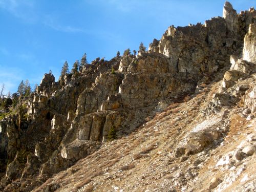
See the rock spires above? Up there are a couple of air shafts that drop down into the mines. Only Scott, the youngest on our hike, ventured up there. He didn’t have to save his knees for the descent as the rest of us older duffers had to do.

Not much to see in there.

The rocks are very interesting at the mine entrances. This particular mine hole was closed with dirt by the Forest Service back when this was their jurisdiction. They didn’t want people falling down the hole. Sheesh!

This is the New England Tunnel. The New England Tunnel and Smelting Company was involved in the mining of Mineral King. I read Louise Jackson’s Mineral King history book twice, and I still can’t remember the details.

There’s nothing to see here, folks – keep moving.

But it looks so cool from the inside out!

Actually, it looks pretty neato from the outside in.

After the mines, we got on the old road. There is a road up there. Really!

We followed the road toward Timber Gap, and encountered about 6 or 7 more people. Turns out we knew them, and right there on the old wagon road that was built by miners, the descendants of some of the miners met up with their cabin neighbors. It was really fun!

Here is the final relic of the day. There was a gate between 2 trees on Timber Gap. These hinges and some wire remain.

Trail Guy Led a Hike to Empire in Mineral King

One Saturday a.m., it was raining like crazy in Mineral King. Too bad. We geared up, and headed over to the Sawtooth parking lot to see if there were any hardy souls who wanted to visit the Empire mines. We found 2 people in flip-flops, and said, “Nope, not those shoes”. They knew that but were just checking to see if we were going to proceed as planned. Four others appeared, it stopped raining, and we headed up the Sawtooth/Timber Gap trail. (Okay, you can call it the Monarch/Crystal Lakes trail too if you prefer). We figured that if it started raining again, we could either wait it out or head back down. Day hiking is easy like that.

We began as a group of six and eventually the 2 flip-flop wearers caught up (wearing hiking boots.)

Relics can be found around various historic sites. I don’t know what these things are, but they are interesting.

This is the corner of a tram tender’s cabin. Maybe.

Trail Guy referred to the Mineral King History book by Louise Jackson to figure out some of the historical sites. If you love Mineral King, you need that book! Louise used to lead this hike, but asked Michael to take it this year.

Yep, a tram went through here. It hauled buckets full of ore down to the stamp mill. The ore was quite disappointing, and mining didn’t succeed in Mineral King. Now, we love to look for the relics of the past.

We left the trail and headed up to the old bunk house ruins in the fog.

Alice and I got to talking and climbed a bit too high. That is the ruins of the miners’ bunk house down there. I think it is remarkable that we can stand there in the very spot where these old guys lived while searching for gold. (That’s why I am remarking on it!)

Ick. What sort of relic is this?

Ooh, maybe we should have gone to White Chief so we could be in the sunshine!

To be continued. . .


Walk in the Park

Today that animal I am married to is turning 59. We did a stroll in The Park. Anything feels like a stroll after attempting Monarch Lake on the old “trail” last week. We stayed in the foothills, and almost wished for shorts and were annoyed by the face flies. Hard to believe it is January. (Are you praying for rain? You need to be!!) Anyway, I talk too much, so have a look at some nice photos. These fall under the broad category of Sources of Inspiration, which also means things I might want to paint someday. Oh, and if Mr. Google is paying attention, this is the blog of a California Artist who paints Sequoia National Park, Tulare County and Three Rivers.

P.S. I am an animal too, if banana slug counts as an animal.

Weird Winter Walk, part 3

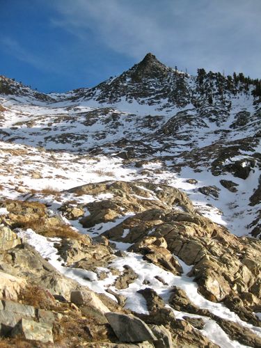
As we descended the non-maintained trail from Monarch, this was our view of Sawtooth Peak. If you aren’t familiar with it, the view here might help you.

Michael referred to this as the “moonscape”.

“. . .miles to go before I sleep.”

Nice light, eh?

Sometimes we lost the trail because we were avoiding stuff like this.

When I told Michael to look at the way these spires were lit, he said, “I’ll fall over if I look up!”. Speaking of falling, I did fall a couple of times. This is the first time in my memory that my knees and ankles just spontaneously buckled.

In the summer, we rarely choose to use the Sawtooth/Timber Gap trail. It is steep, hot, and dusty. On our trip down from Monarch, it was the most welcoming and comfortable part of the day. Because of freeze-thaw, the trail bed was a little spongy and not dusty at all. It wasn’t steep compared to the rest of the hike, and such a nice flat place to put one’s feet! Good thing, because we were on the edge of running out of daylight and needed to pick up the pace.

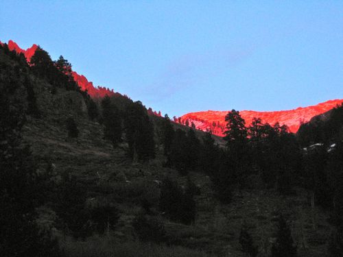
Michael took this photo of Empire and Sawtooth Pass while shouting at me to hurry up in the outhouse. I did hurry, but not soon enough to run down the icy slick road for a better view of the entire peak. It was truly this red, and only lasted about 1 minute.

Dang. That was a hard day. Michael asked me what the best part was, and I said “the sunset”.

Weird Winter Walk, part 2

Yesterday I left you with the information that I am married to an animal. He went to within view of Monarch Lake, and then returned to me for the camera, which I gladly handed over, then resumed my semi-comatose state of gathering strength in the sunshine for the “walk” down.

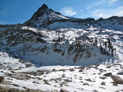
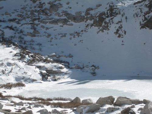
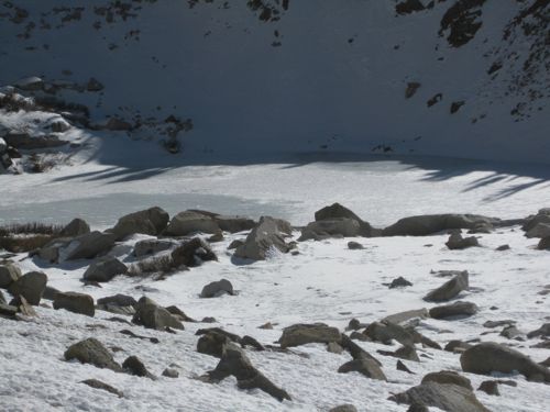
Can you see the lake? It is beneath the peak sometimes referred to as “Sawtooth’s Shadow”. I think the real name is Mineral Peak. Anyone know for sure what this guy is called?

Here is the left side zoomed in.

And the right side.

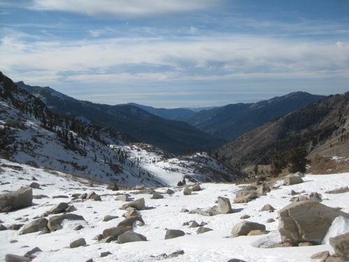
And the view out to the Coast Range.

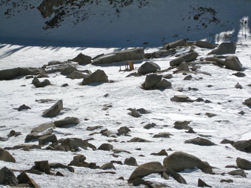
Did you know there is a sorry excuse for an outhouse at Monarch Lake?

See the 2 foxtail pines? They were just “right there”, but might as well have been in Rome for all my ability to reach them. You can see the shelf where the lake is just behind them. I didn’t care.

To be continued. . .

Weird Winter Walk

On January 2, Michael and I drove to Mineral King. That is weird for this far into the snow season. The drive up was seasonless – is this late October? early May? Then we walked to Monarch Lake on a mostly dry trail. That is immensely weird.

Okay, I lied a little bit. Michael went to Monarch Lake. I climbed and struggled and finally say “I’m done”.

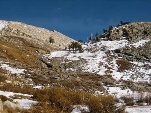
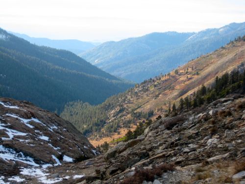
You can see the lack of snow, but what was there was glistening on Farewell Gap at 9 a.m.

We chose the old trail beneath the spires of Empire. It isn’t maintained, sometimes isn’t visible, is overgrown, disappears under rockslides, splits into multiple choice, but eventually gets you to the destination.

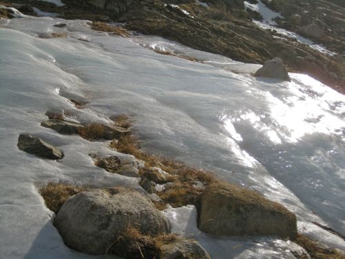
Can you pick out the new trail over there in the ice, snow and shade? That is why we chose the south-facing old trail.

Monarch lake is beneath Sawtooth. Nice “trail”, eh?

As I struggled along, I entertained myself by devising a numerical system to rate walking. #1 is going out to my garage. #10 is “I’m done”. This walk began at a 6-7, which is “this is sort of hard but I can do it and it is even sort of fun”. It became a #8 after about 2-1/2 miles when we were on the non-maintained trail for about a mile. This number is “this is hard and it isn’t fun anymore”. I decided #9 was “this is almost too hard but I can do mind over matter” and that when I hit #10, I’d quit. Gotta save some juice in my legs to get back to the parking lot!

I hit #10 just below the lake. When I emerged from my semi-comatose state, I was able to enjoy the sunshine and this view. I am married to an animal, and he proceeded on toward the lake. He said it was “only 5 more minutes” and I said, “not for me!”

To be continued. . .

WALKING AGAIN!

Excuse me. Didn’t mean to shout at you with that title. Okay, pants-on-fire, I DID mean to shout! I’m happy!! After receiving a boatload of stuff from a podiatrist, along with the reassurance that walking won’t permanently injure my foot, I’m back on the trail. A little huffy-puffy, but I can work back into it.

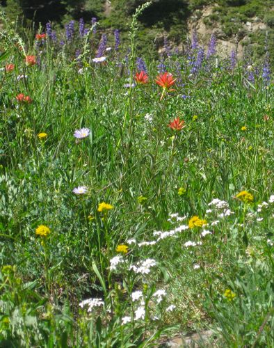
The best flowers in Mineral King aren’t usually in Mineral King. They are 4 miles above it, where the trail splits to go to Farewell Gap or Franklin Lake and Pass. This year’s flower season is condensed, due to the late start. These photos are a week old, because I was so into that Daily Painting thing that I delayed showing you.

Michael’s favorite

My favorite