Hiking Mineral King – Empire Area

To get to the area of the Empire Mines, it is best to leave early in the morning. The lower part of the Sawtooth/Timber Gap trail is HOT and STEEP; with its exposure, morning is the only sensible time to walk it. We met our friends at 8:30 on the bridge, which is early in Mineral King.

Those trees are Timber Gap.
The tram tender’s cabin ruins are visible from the trail just before leaving the trees (one more switchback to go!)
Jessica was on duty – making visitor contact, learning about trails, answering questions – she is an expert and a joy to hike with! This father/son team was hiking from Lone Pine (below Mt. Whitney) to Yosemite. Yes, you probably do have a car, but on foot is the another valid form of transportation. 
What happened to this tree?? Inquiring minds need to know.
Trail Guy found the remains of a cabin near Timber Gap. One reason for our hike was to show the area Archeologist.
The Archeologist has very specific rules, tools and methods.
The Ranger surveys her territory.
This Foxtail was another reason for our hike.
In case you can’t read the faint writing scratched in at the bottom, it says “10-19-67”. Largest Foxtail Pine on the ridge? In Mineral King? In Sequoia? In California? In the whole world?? It measured 25′-27″ around, probably bigger than in 1967.
The top splits into three, a Biblical tree, perhaps?
Our plans were thwarted by the threatening sky, and although 3 of us made it to the bunkhouse ruins below the Empire Mines, it was a hasty visit. We got a little bit wet, but no one melted.


Hiking Mineral King – Three Falls Below the Gate

About 1-1/2 miles below the end of the Mineral King Road, you can see a roaring section of falls over the edge, waaay down there. Trail Guy and I went exploring, following a friend’s vague instructions: “I just drop off those rocks below my cabin”. Oh yeah? I followed Trail Guy and trusted him to get me there and back in one piece. He did not fail.

Umm, yeah, we’ll just drop off this rock.
Hey Trail Guy, where is a trail??
A big snow avalanche came through here. The tall tree is missing branches very high up. The lower shelf is dirt-covered snow.
I came all this way to have a dead tree in my view??
Very powerful water – cool mist, scary edge, thundering roar.
Can you see the snow shelf here?

There were some flowers to take the edge off.

Some variety of Bro-dee-uh (spelled brodeaia or some such reckless combo of vowels)

White Chief is the Best Hike in Mineral King

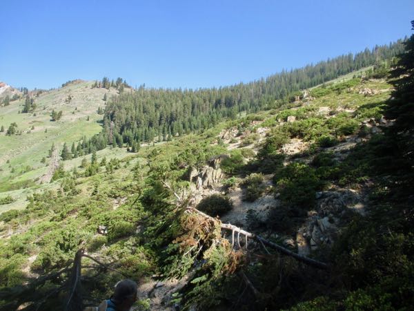
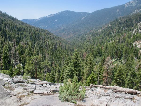
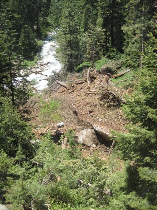
It is steep, really really steep, but White Chief canyon/bowl/valley begins only about 2-1/2 miles out of Mineral King. It has so much variety – you can go short or far, there are natural caves and historical mining tunnels, and a zillion kinds of rocks, sink holes, a lake, some sort of ponds, and even some cabin ruins.

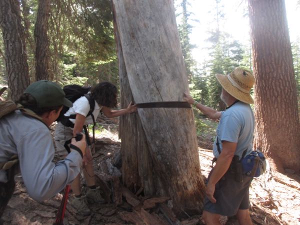
In August, there was an official hike to White Chief led by the experienced and well-studied Laile DiSilvestro. She is from a long time cabin family, so in addition to the facts that she studied, she has rich history passed down through the generations. She brought along great photos, and I learned more from her than I have learned in all my years of hiking to and around White Chief.

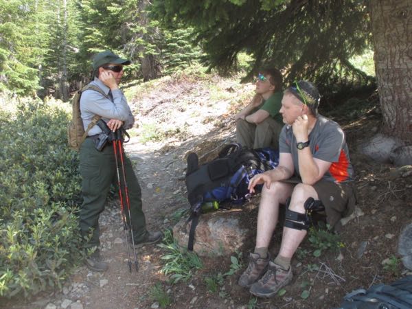
There were 9 of us all together. (Nice to meet you, Dan, Sandy, Lindsey, Rich, Dana,  and Bryn!)

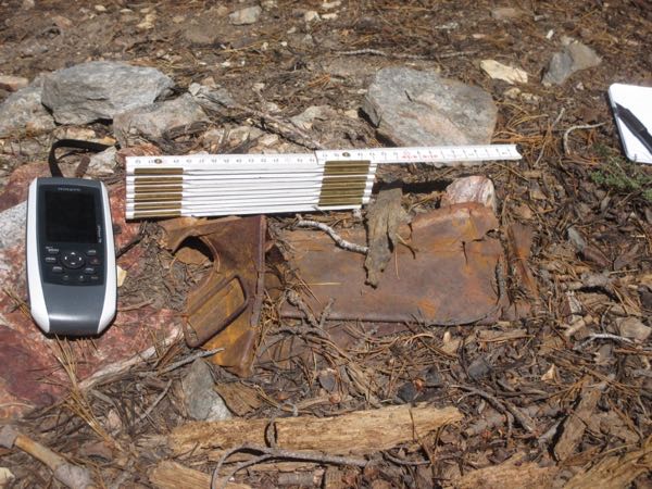
This is called “galina” and it is what got miners excited. They cooked it in smelters to determine which, if any, precious metals remained.

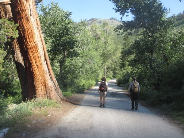
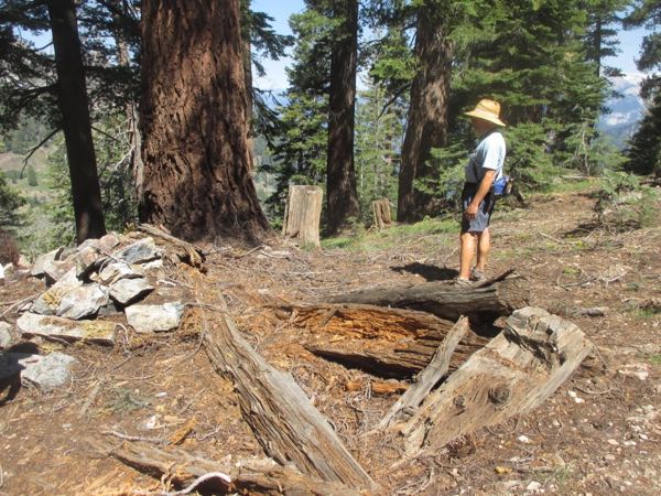
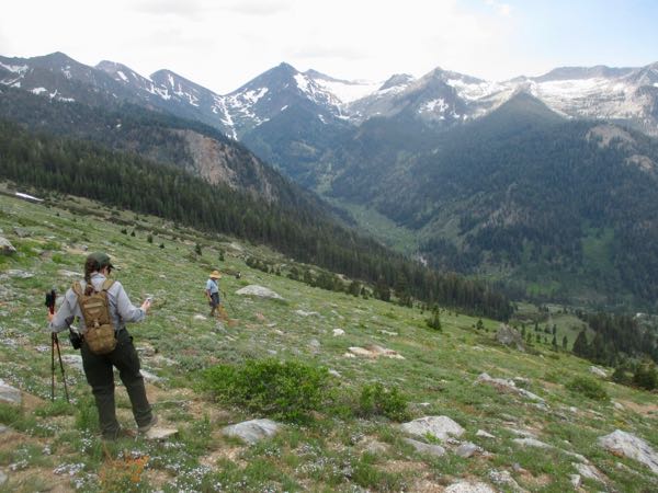
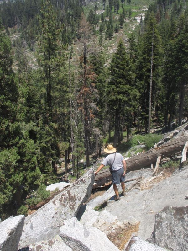
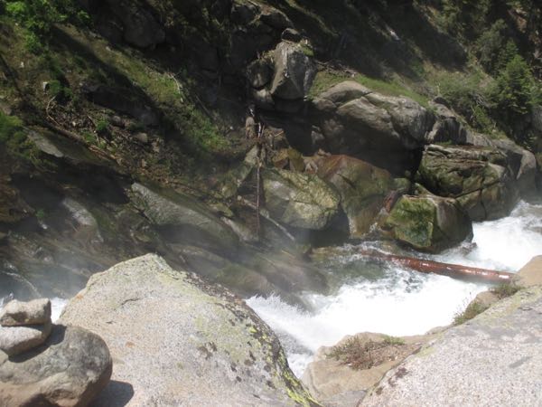
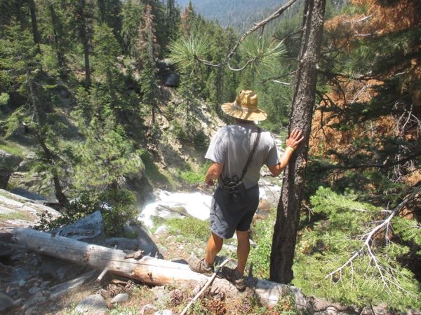
This is where we turned around on a simple walk to White Chief back in August. This time it was a real hike, with packs, food, water and walking sticks.

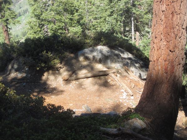
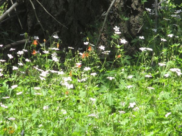
There are many holes in the ground, both man-made and God-made. The variety of rocks is wonderful! Some folks are drawn to shapes, others to texture, some to patterns, and me? Color, of course!

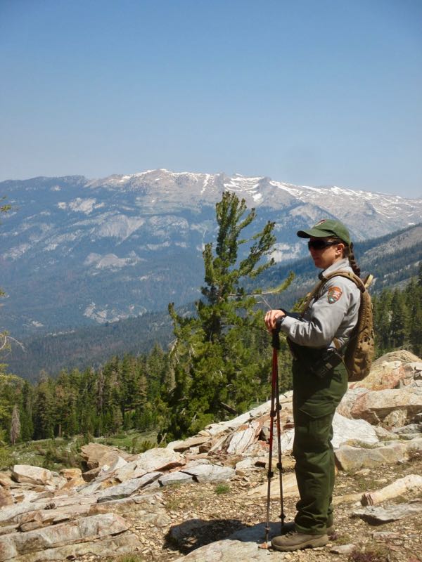
This is quite high in the White Chief canyon/bowl/cirque/whatever you want to call it. I’ve taken 3 different friends there, and each one got a Big Fat Headache (Hi Robin, Lisa and Carol!) Guess this isn’t a very friendly hike, and I’ve stopped dragging people there because I could run out of friends this way.

This is not a chunk of snow – it is marble! REALLY! I’m sorry I don’t have anything next to it for size, but maybe it is like an ottoman (but a very uncomfortable one).

We are the group in the upper photo.

This image is courtesy of the Crowley Collection and is included in “Mineral King: The  Story of  Beulah.”

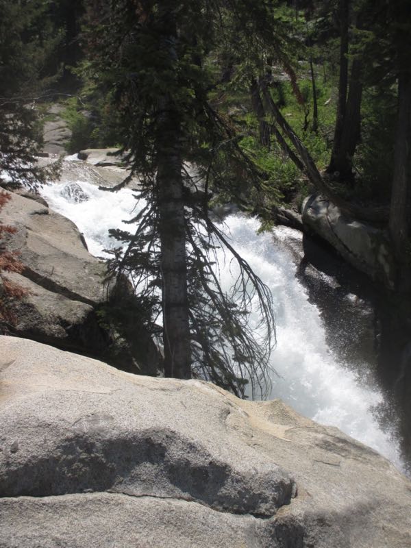
Bryn and I sat here for awhile and visited while I soaked my foot. (Yes, just one of them.) This is an area that confuses me – in my memory it is ponds. At this time it was a slow moving creek. Hmmm – the altitude messes with my memory? Prolly.

P.S. Why did no one on the hike notice that Trail Guy and I were wearing our very special and available Trail Guy tee shirts with a custom Mineral King design??