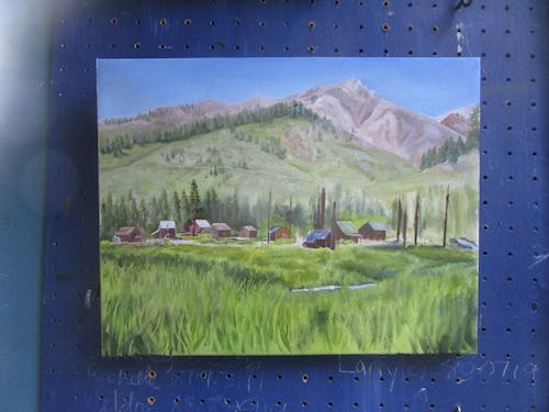
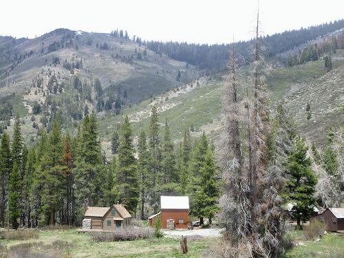
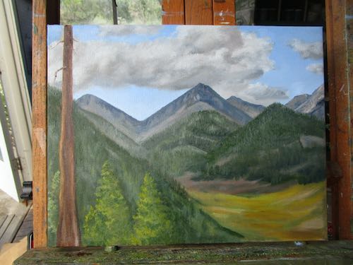
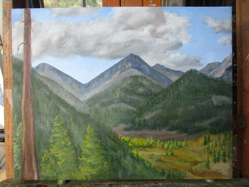
There was a fair amount of puttering, cabin maintenance, hanging out with neighbors, a few short walks, and some painting on my most recent stay in Mineral King.
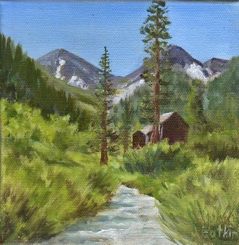
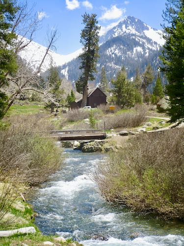
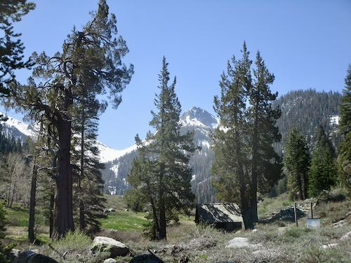
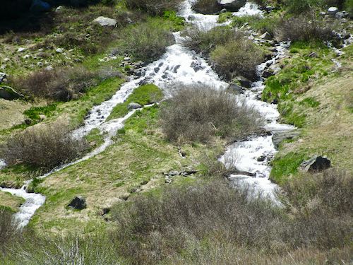
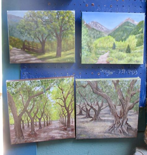
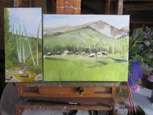
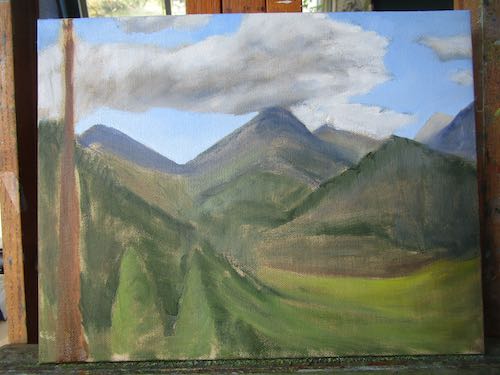
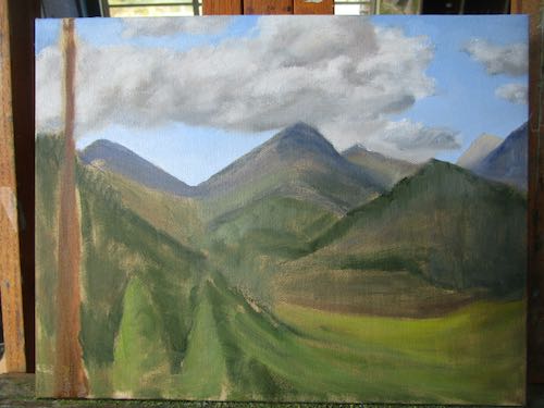
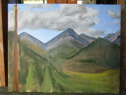
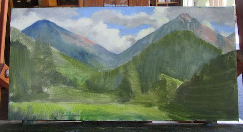
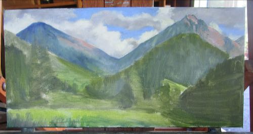
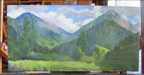
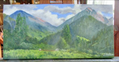
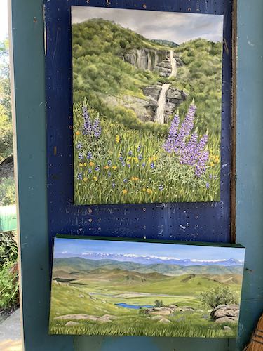
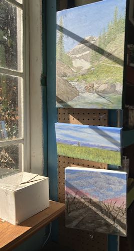
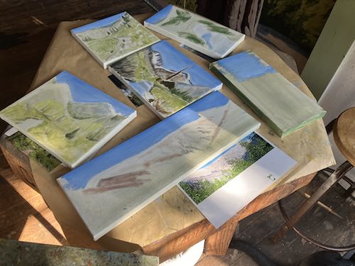
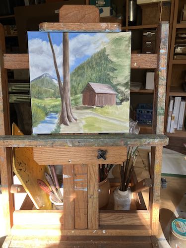
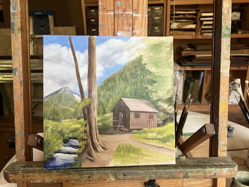
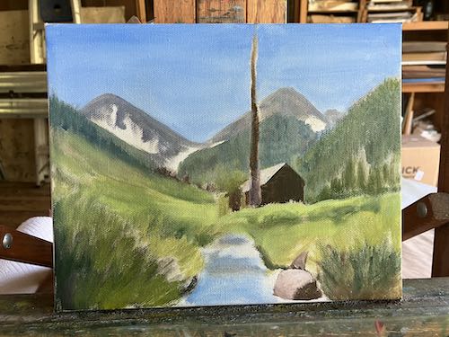
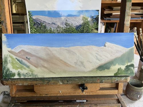
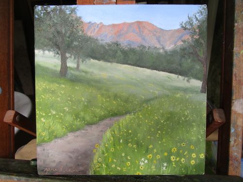
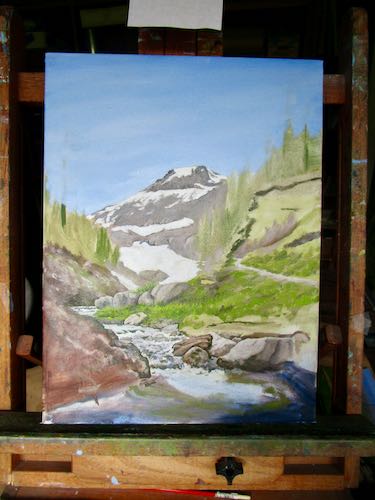
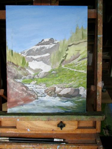
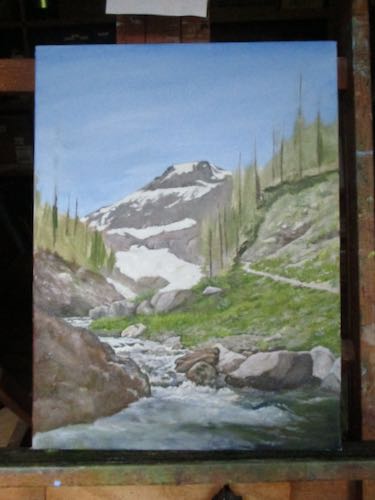
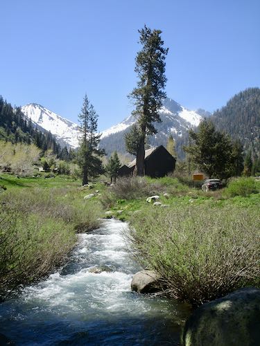
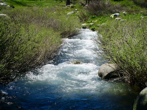
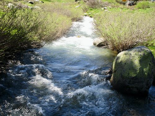
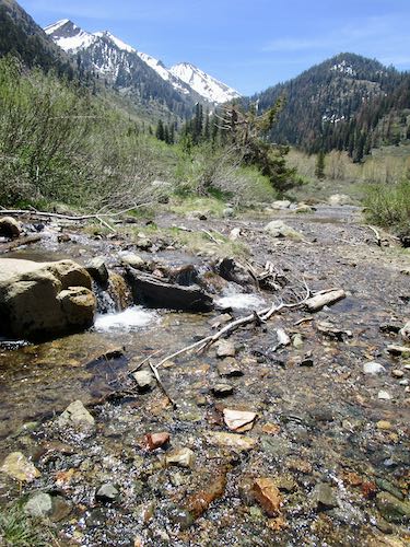
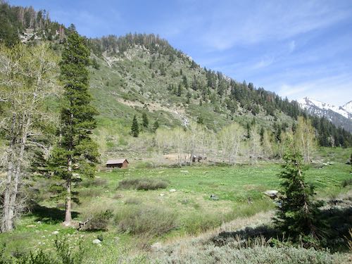
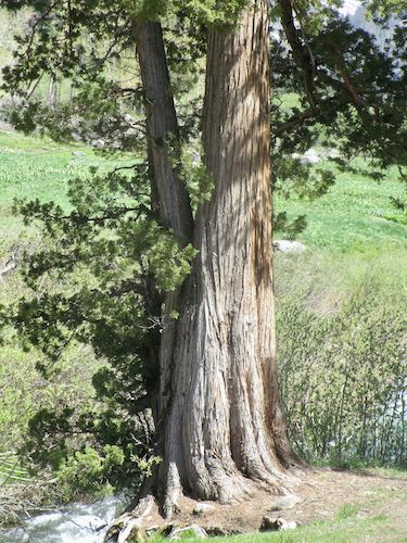
Because I needed to complete two more paintings of the iconic scene of the Crowley family cabin with the stream and Farewell Gap, I spent some time studying the water and a few details that often elude me. Customers don’t care or notice, but if I can’t get it right after painting the scene well over 60 times, then I am a little concerned for my own ability to pay attention.
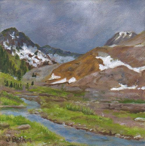
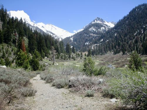
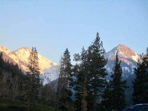
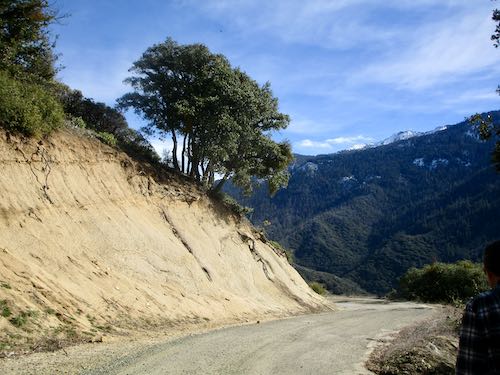
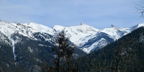
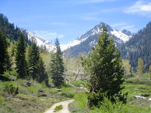
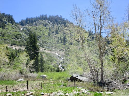
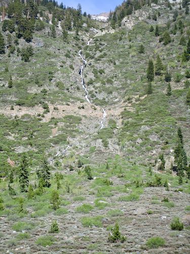
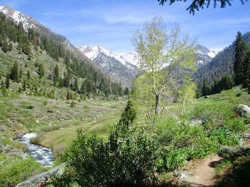
The snow was holding on the peaks and passes. We strolled up the valley toward Crystal Creek.
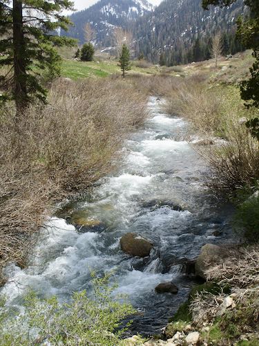
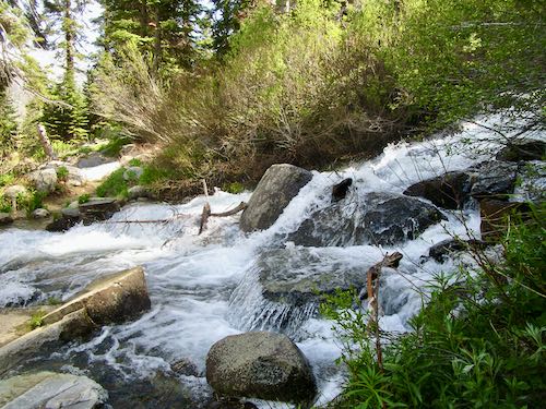
Crystal is very wide, but easy to cross, especially if you do it my way, which is to just walk right through.
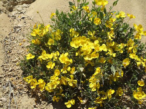
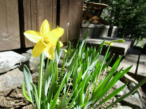
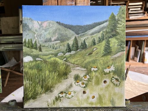
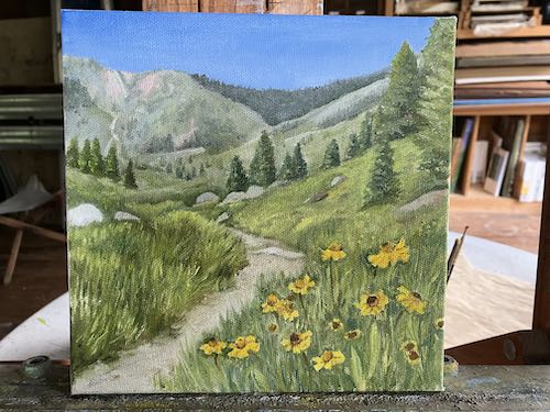
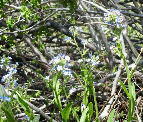
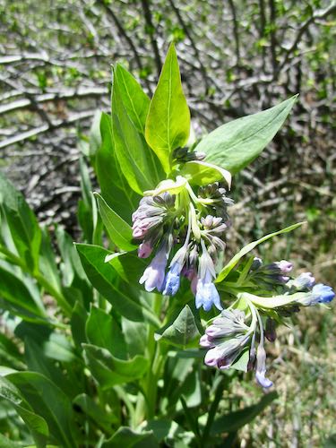
The early flowers are showing now.
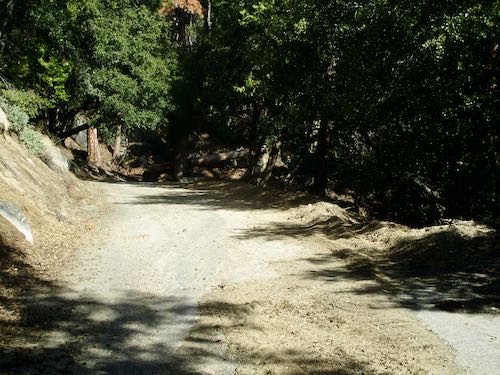
Chihuahua Creek was running strong. This is a seasonal creek that races down the pack station road most years. The trail crew put in a very effective water bar last fall, so now the mud on the road is due to seepage, rather than an errant stream.
Speaking of the pack station, someone asked me about it last week. The short version is that the last concession packers in Mineral King got sideways with the Park, there were lawsuits, and then silence. It was a long time ago (15 years? 20?) No more horse rentals. Now the Park brings up stock as needed to resupply trail crews or just to get the critters out of the heat. They have a tack shed, and there are two abandoned buildings from the previous packer. That’s all I know.
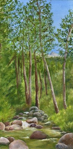
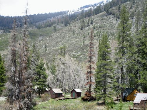
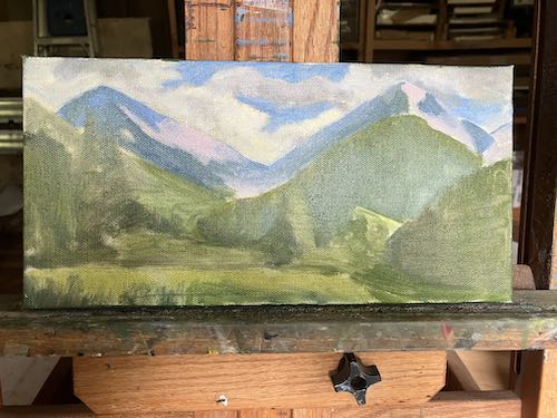
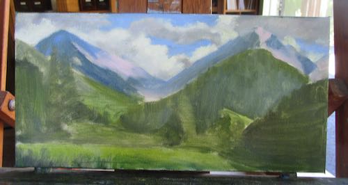
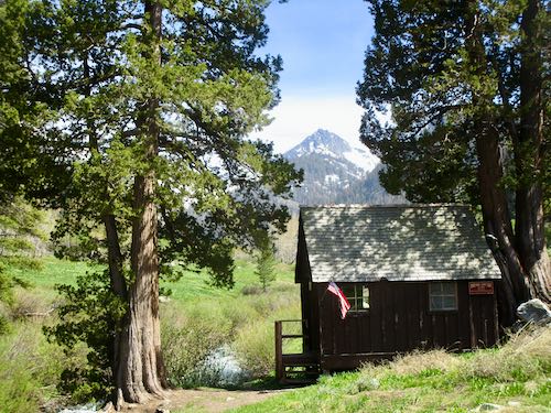
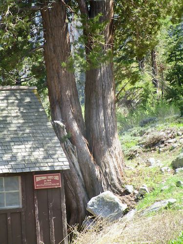
In addition to studying the water at the bridge, I photographed the trees on either side of the Honeymoon Cabin, a mini-museum maintained by the Mineral King Preservation Society. The cabin is the second most popular subject that I paint of Mineral King, so it behooves me to know the details.
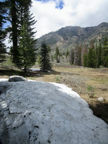
I took a short walk up to Spring Creek. There is a very appealing curve in the stream below, but I will have to do some rearranging in order for it to make a nice painting.
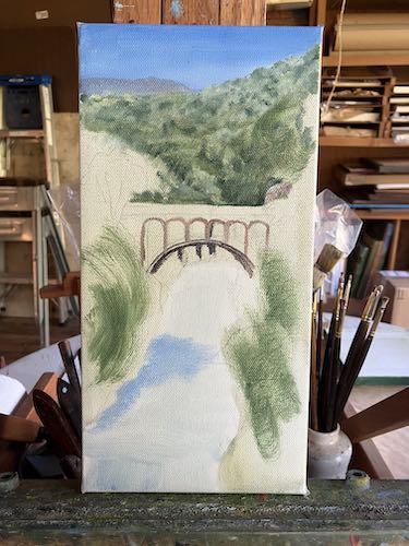
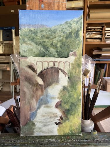
The bridge was not in, but on the way home on Monday, June 3, we passed a couple of Park guys on their way up to place the bridge.
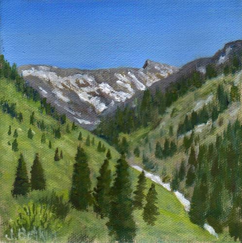
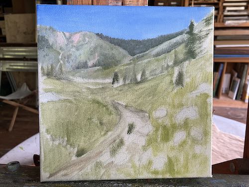
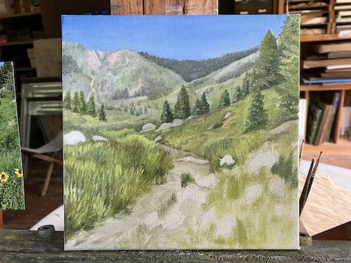
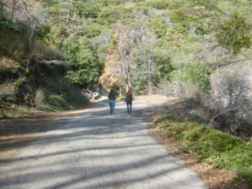
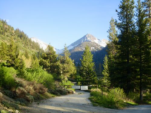
We took a stroll one evening to enjoy the late light, cool temperatures, beautiful views, and quiet.
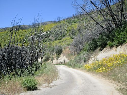
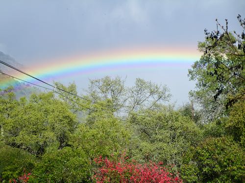
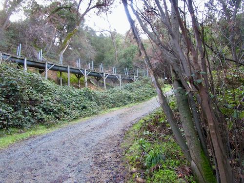
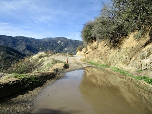
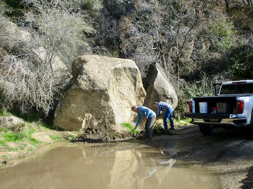
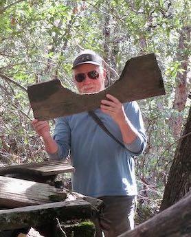
On the way down, we encountered this:
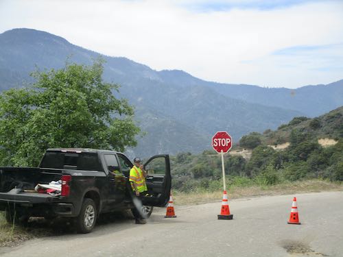
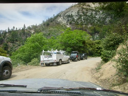
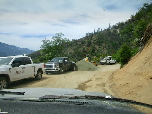
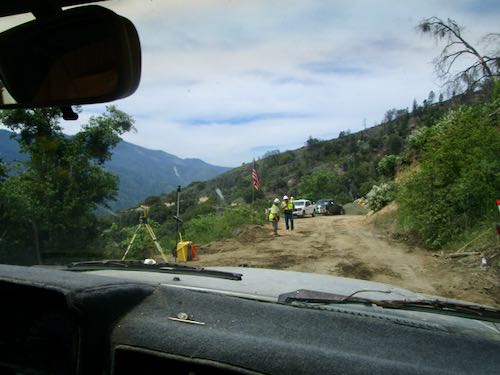
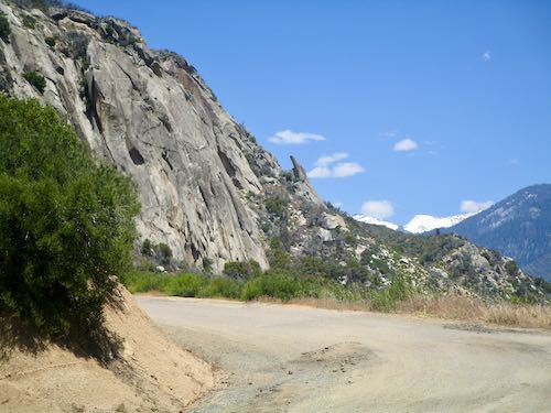
The road has great wildflowers, lots of dirt sections, and is quite passable. BUT, you should be prepared to wait, and be prepared to meet 10-wheelers and other construction vehicles.