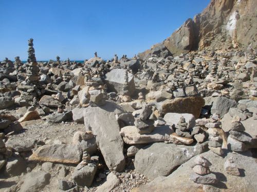
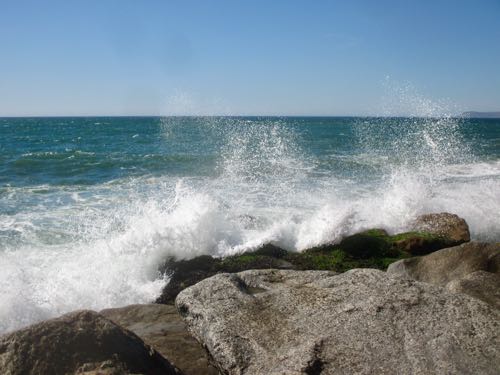
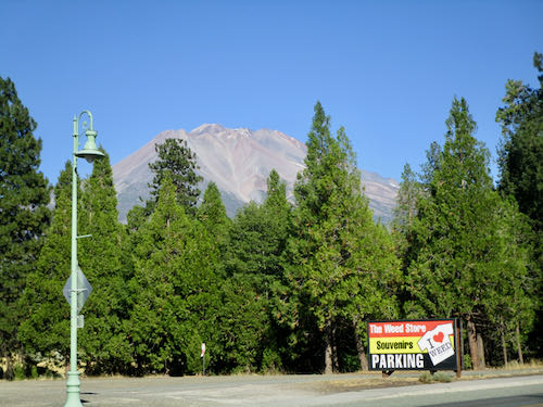
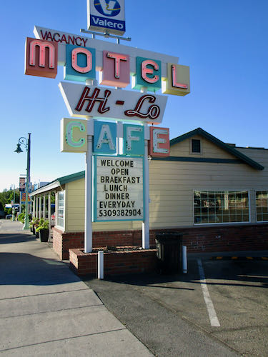
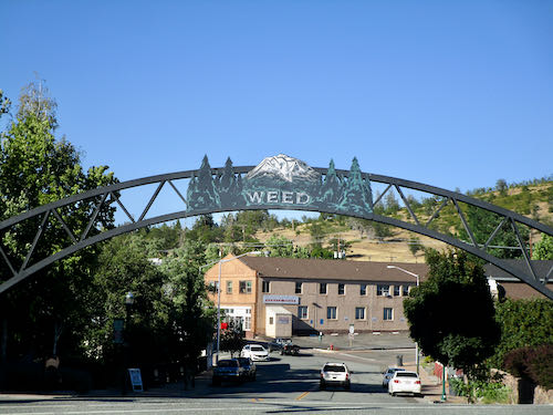
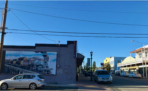
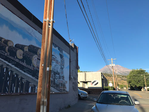
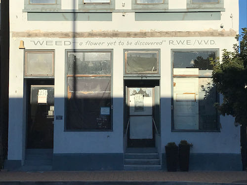
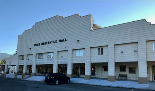
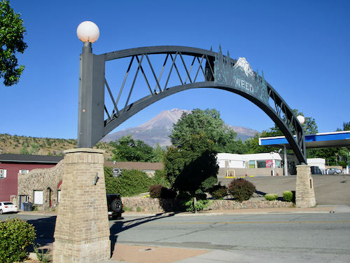
If you can’t see the photos, go here: cabinart.net/blog. Does anyone else find it hard to sleep in a motel? I was dying to open the window, but it opened onto a walkway where other occupants passed by, and who knows it someone would crawl in?? So, that, along with the road buzz, made sleeping a bit of a challenge after my 500 mile driving day. “Road buzz” is my description of that inner vibration from being so alert for all those hours. Even my long walk around Weed didn’t completely obliterate the inner hum.
So, I was back on the road by 5:15 AM.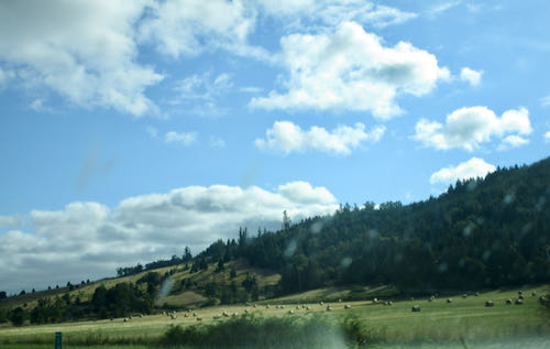
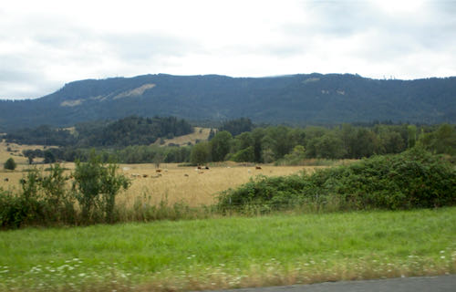
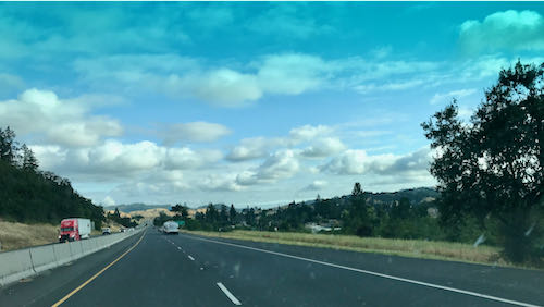
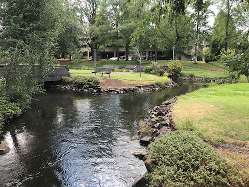
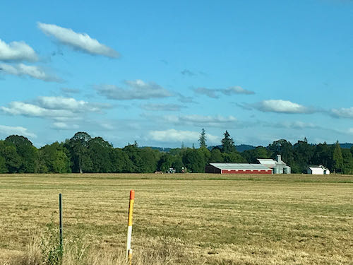
Holy guacamole, Oregon is so very beautiful. Even though the hills are becoming golden, the dried out look is offset by all the greenery surrounding it. Maybe it seemed extra beautiful because it wasn’t hot.
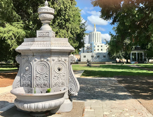
Upon arrival, my people had an appointment in downtown Salem, the capitol of Oregon. So, I went along but took a walk, in search of the capitol building. There were so many pretty parks, and beautiful old homes. No photos of the homes, because I was on a quest.
The talking lady on my phone sent me around in circles, telling me for about 3/4 of a mile, “go one quarter mile and turn right”. That right turn never arrived, so finally I shut her off and just followed my instincts.
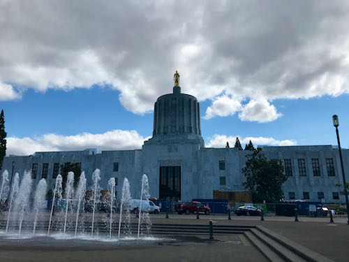
Instincts? This was based on a vague hand wave indicating “it’s that way”, and eventually, seeing the tip of a gold idol way above the other buildings.
Idol? A statue in gold reminds me of things mentioned in the Old Testament. It also reminded me of all those Moroni angel statues on top of Mormon temples in Utah. I’m not sure who Oregon has commemorated on their capitol.
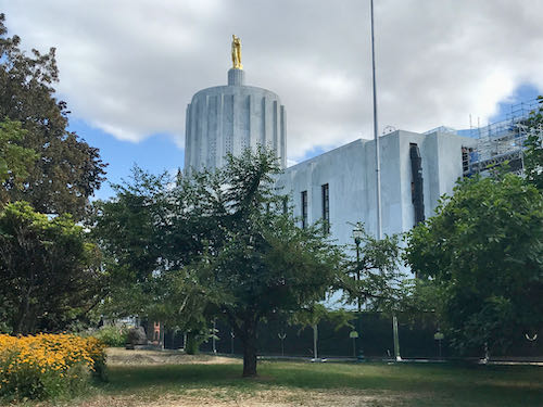
Turns out that I walked 3-1/2 miles in the middle of an August afternoon. What a thrill to be somewhere that doesn’t cause one to just cower inside the air-conditioning! (I’m sure they do plenty of cowering indoors during the winter, because everything is a trade-off of some sort.)
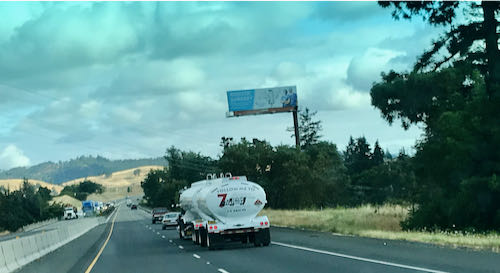
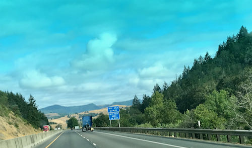
Look at the scenery on the drive back. I was a passenger, so the photos aren’t quite as wonky as the ones from when I was driving.
 What a beautiful state!
The next few days will be spent in family activities, probably not photoworthy, so tomorrow (Friday) we will return to a Mineral King post.
Next week? More will be revealed in the fullness of time.
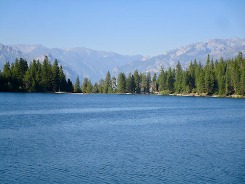
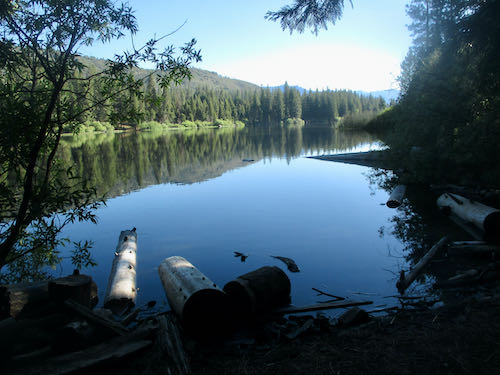
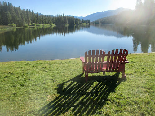
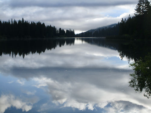
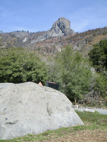
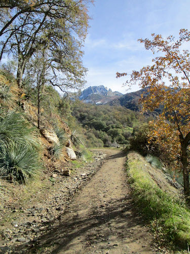
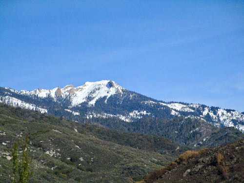
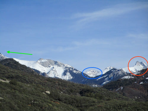
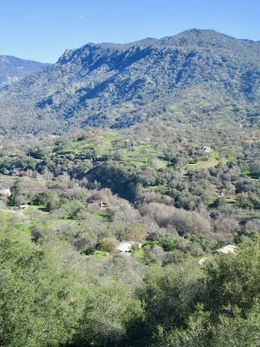
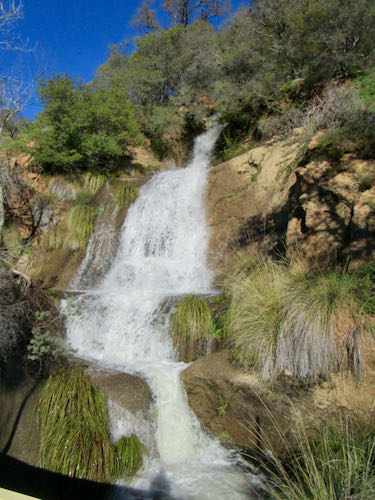
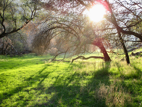
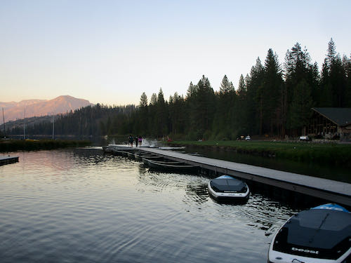 It looks different at different times of day, always picturesque.
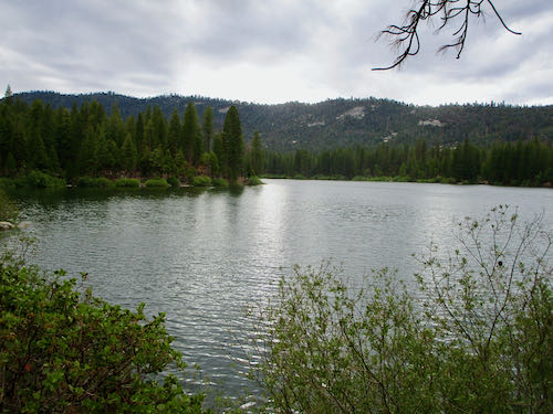 The dam which creates the lake is highly unusual. It was built in 1908, and the lake was created for transporting logs.
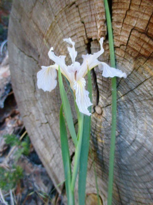
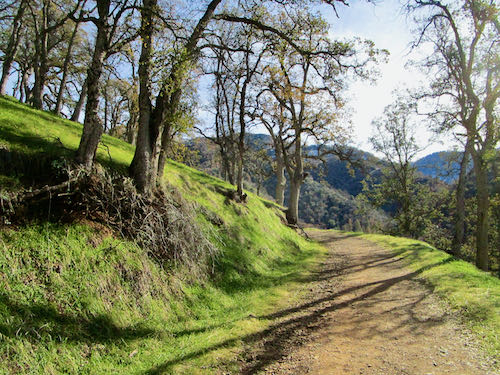
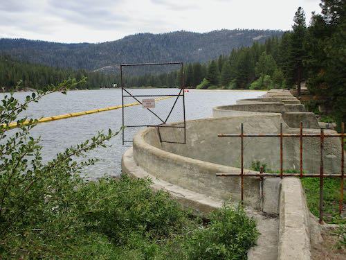 My favorite part of the trail is below the dam where it is green green green.
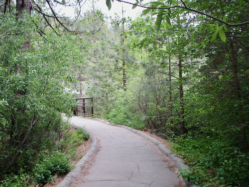 Or wait—is my favorite part of the trail where the wild iris bloom?
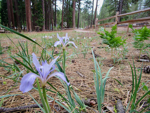
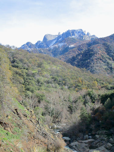
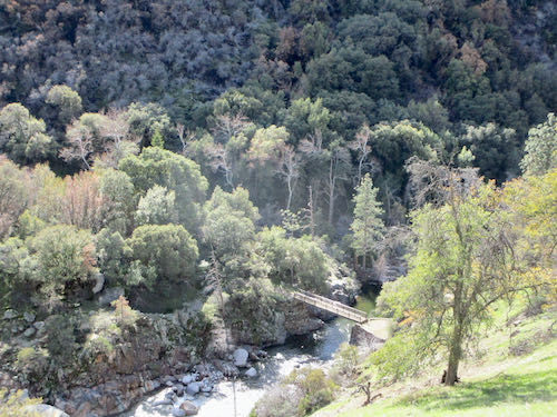
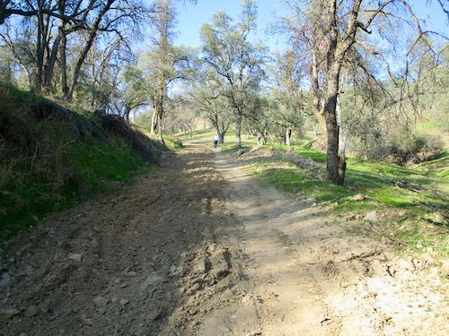
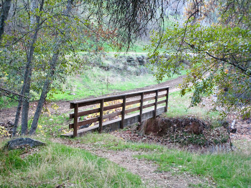
 I like the view from the bridge that crosses Ten Mile Creek.
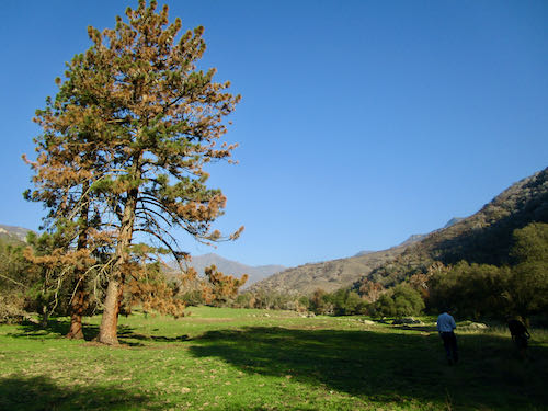
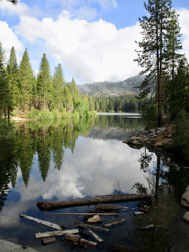 We like to walk to the top of the hill, and were blown away by the potential lumber. These folks believe in mechanical thinning, in managing their forest. Could this be why they have escaped the wildfires through the years?
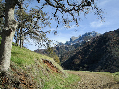
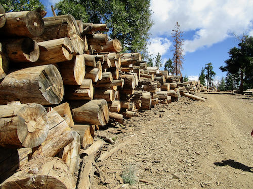 The view from Inspiration Point was somewhat obstructed by clouds this year.
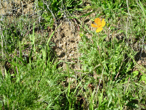
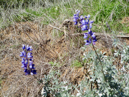
 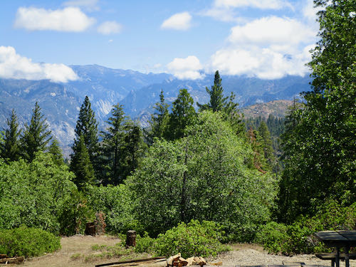 And finally, this year our visit coincided with the elusive and magical red mariposa lily! (My friends may have been concerned for my mental balance when I insisted that we look for it, amazed that I spotted it, and puzzled by my enthusiasm, but one of them took this photo for me.)
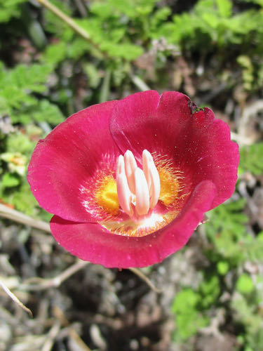
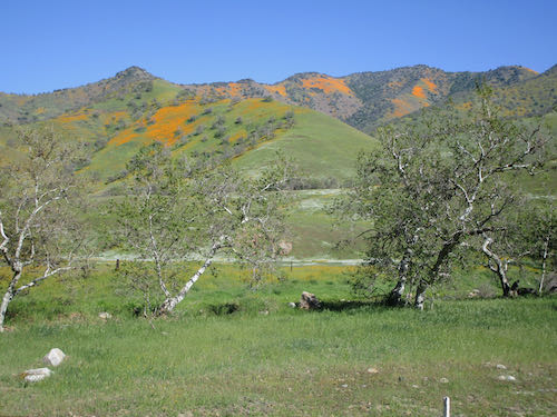
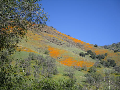
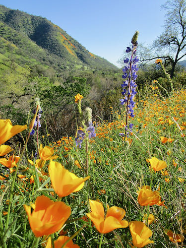
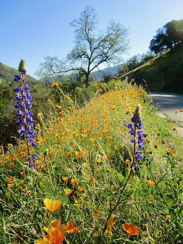
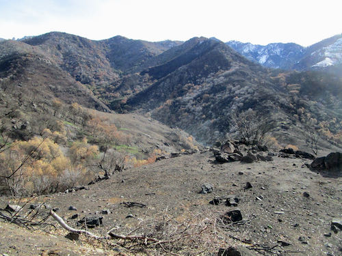
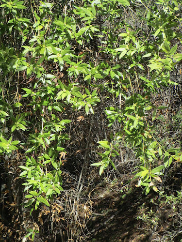
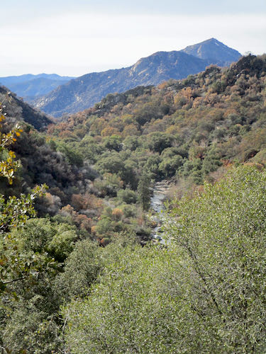
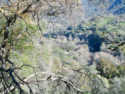
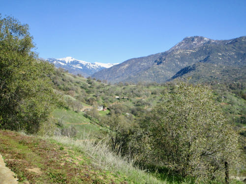
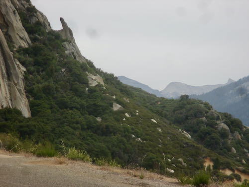
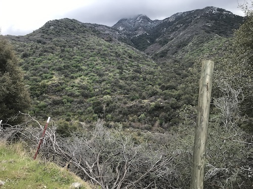
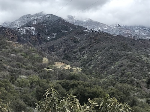
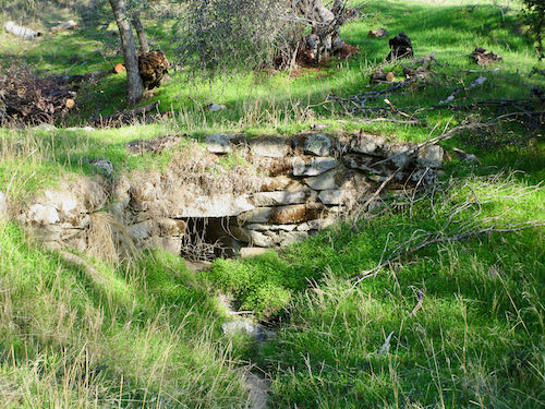
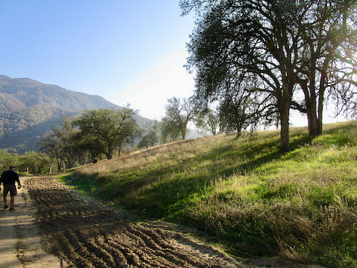
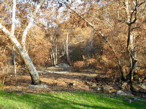
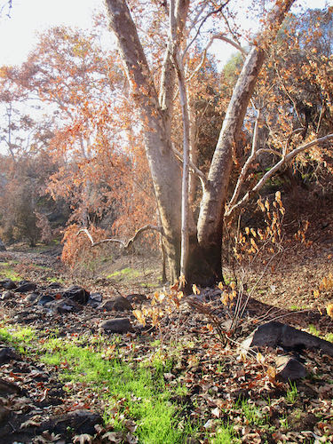
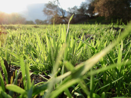
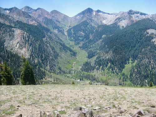
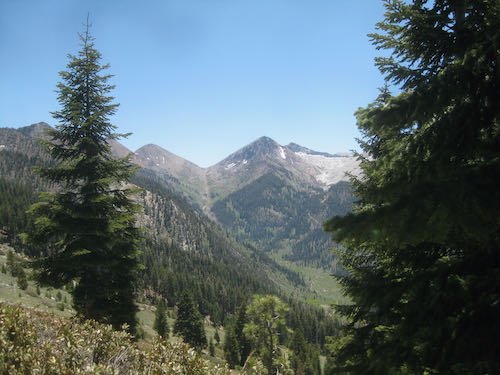
 Looking down canyon, you can see the air quality deteriorates. But oh my, the GREEN!
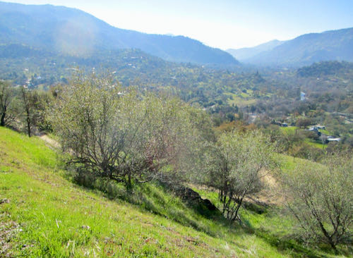
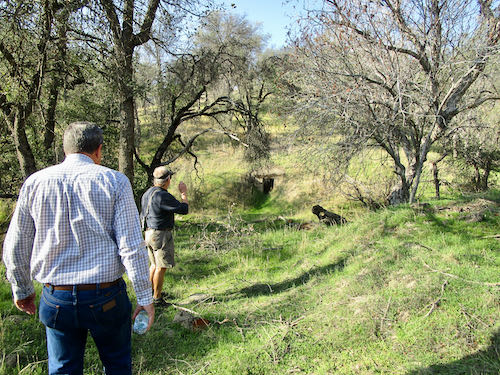
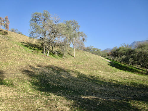
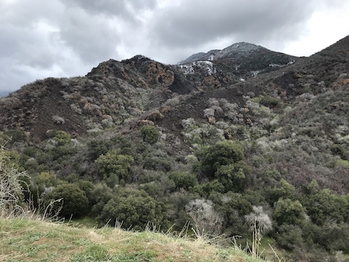
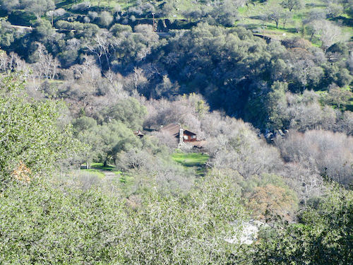
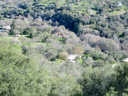
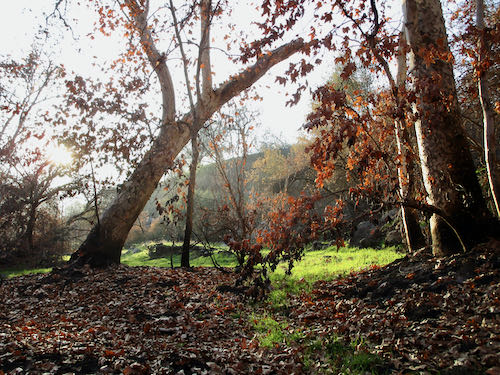
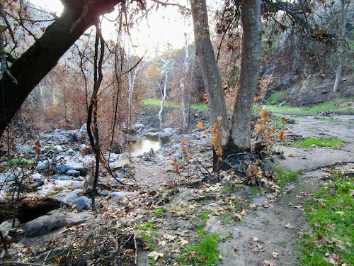
 We headed over to a big flat area, known as Grunigen’s Flat, a former homestead or cattle ranch or commune or something.
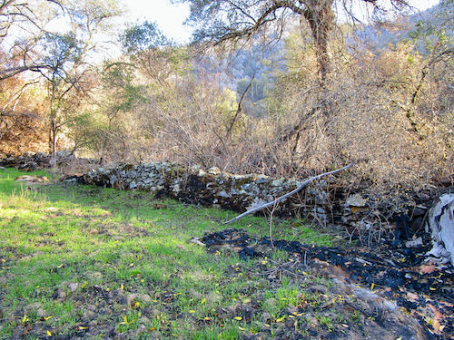
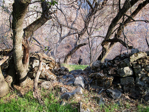
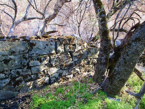
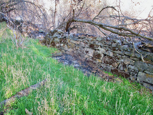
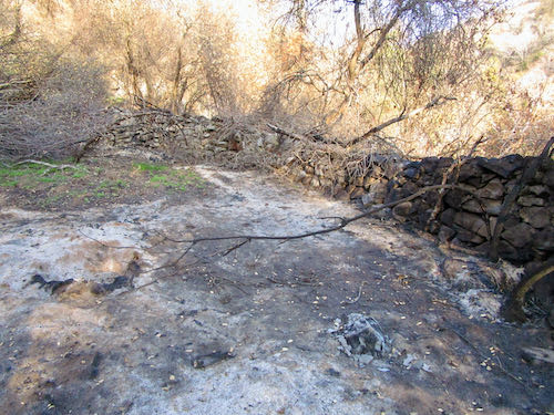
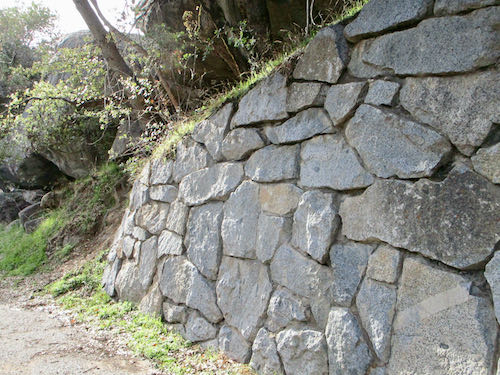
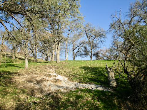
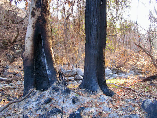
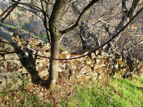 I kept expecting to come to a granite slab with Indian grind-holes. Sure enough, we did, but I didn’t photograph it. I was too absorbed in the sycamores, stone wall, and the green.
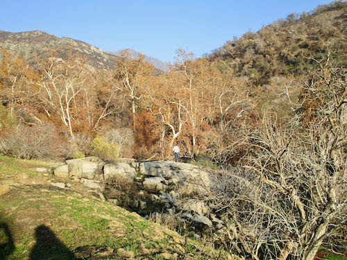
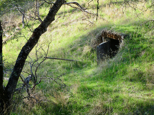
 I don’t know the laws about ashes, and I didn’t participate, so let’s say that they are allegedly in that location.)