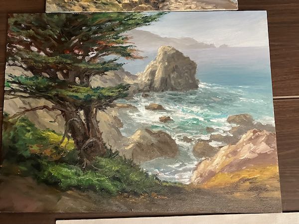
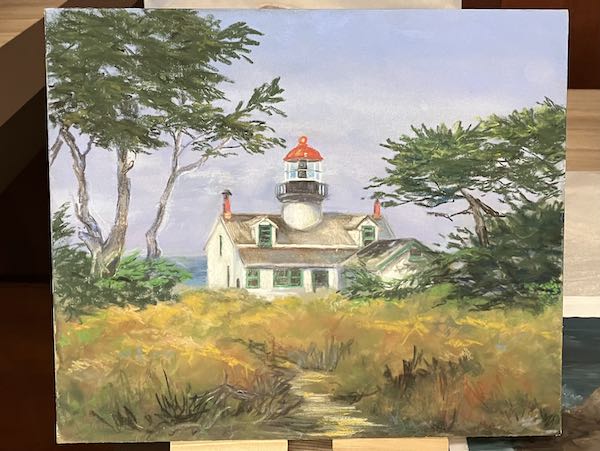
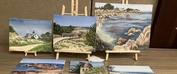
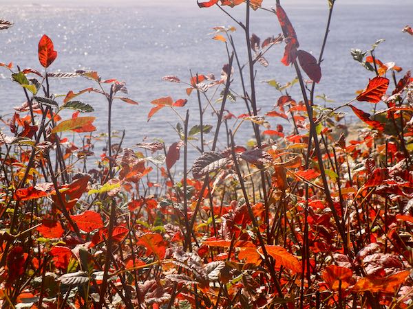
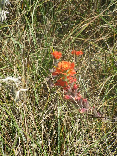
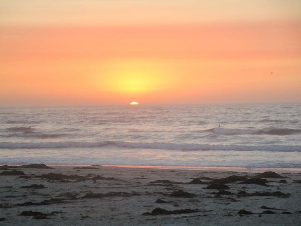
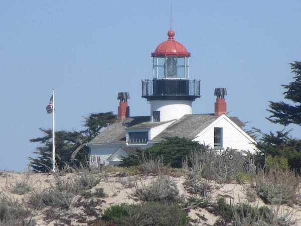
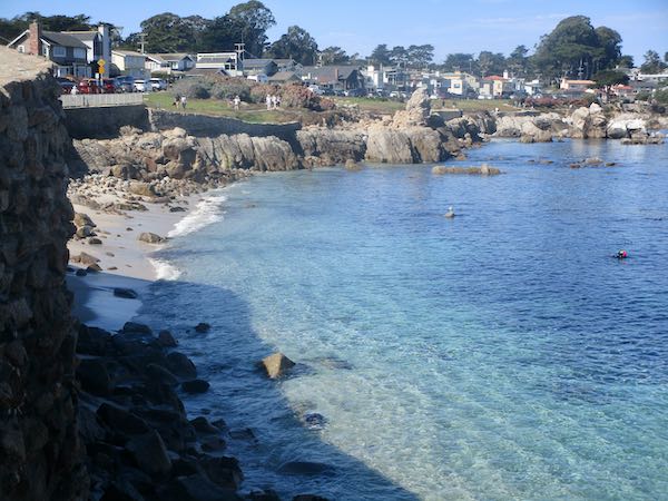
Piños Point Lighthouse was pulling me, just like that Rocky Creek Bridge. I love architecture and really like to paint (and draw) a blend of man-made and God-made subjects.
The trouble was that the lighthouse has very limited hours. By the time I finished painting at Lover’s Point Park, there were only 1-1/2 hours hour left when the lighthouse would be open. Since it cost to get in, I didn’t think such a limited time was worth the money—by the time I got set up and really into the painting, it would be time to go. So, I drove around looking for a few different views.
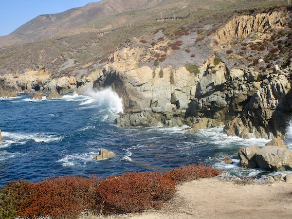
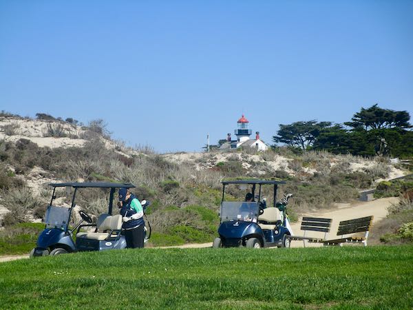
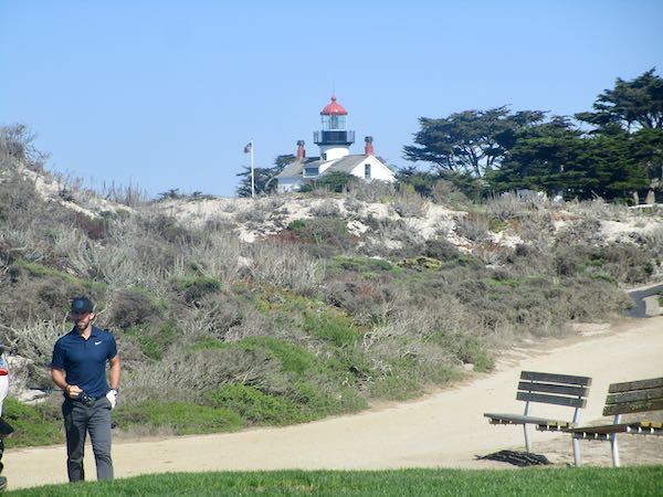
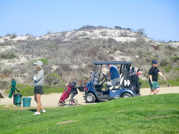
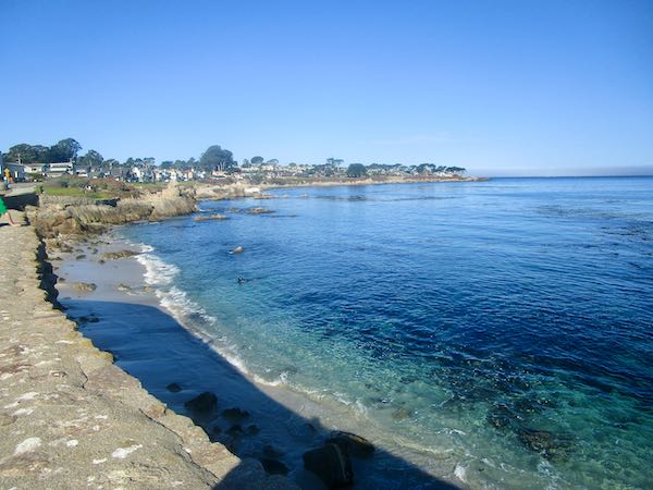
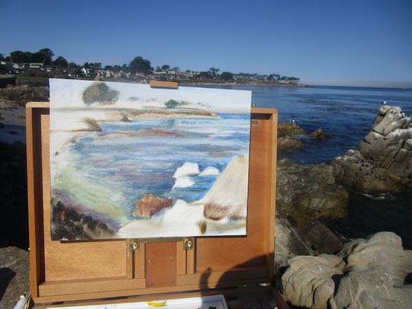
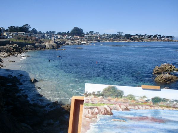
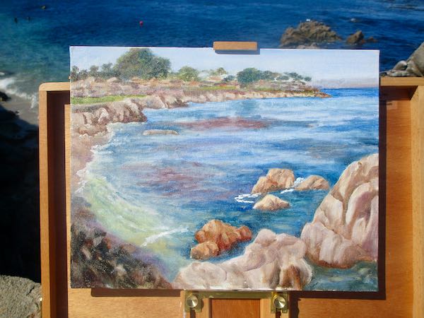
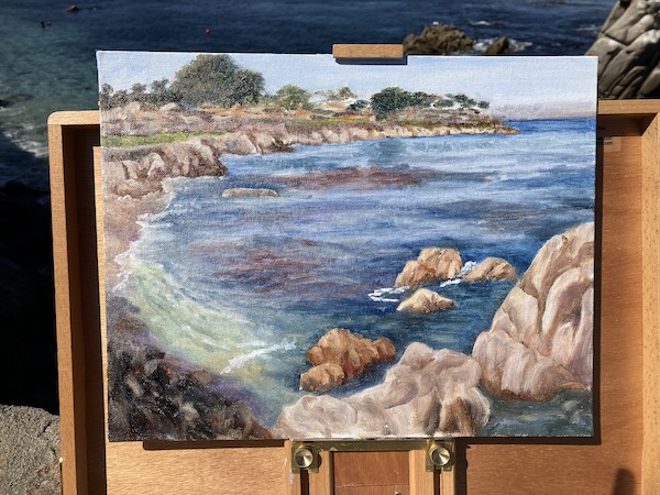
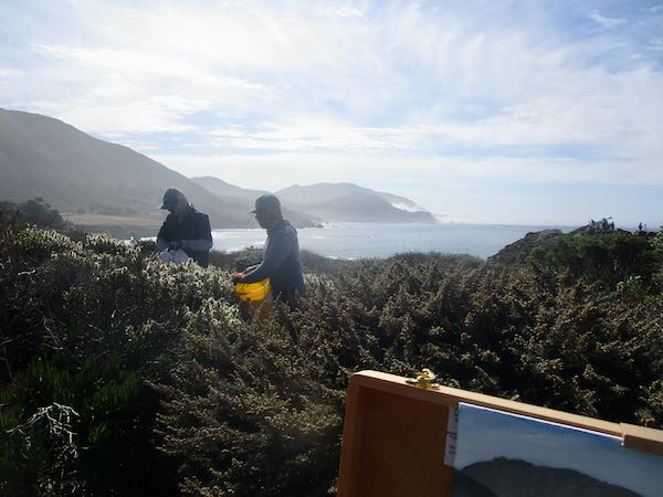
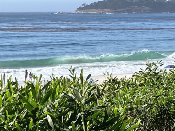
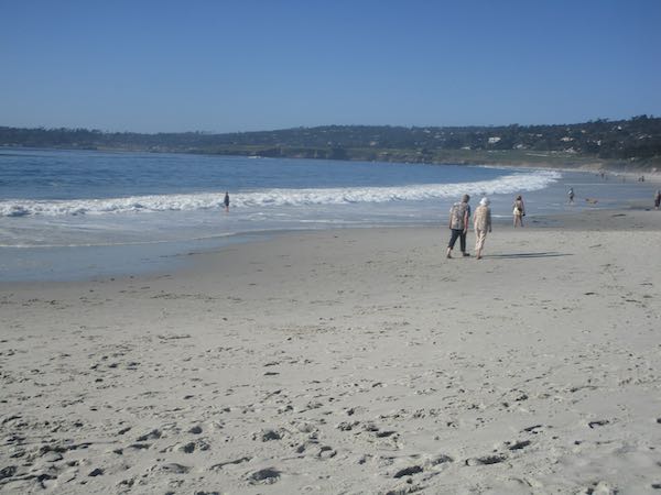
I finally found a place next to the adjoining golf course with the lighthouse in the distance. It isn’t perched on the cliffs, but is back a ways. You can see it isn’t ideal, but sometimes an artist has to do what she has to do.
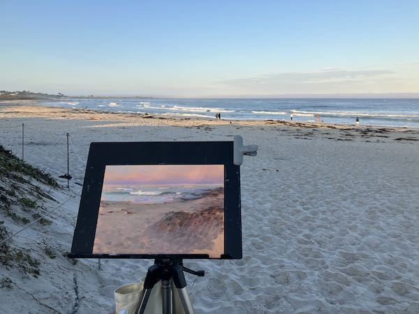
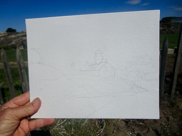
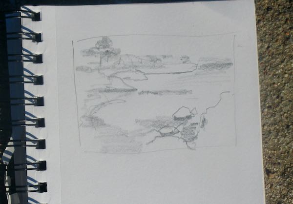
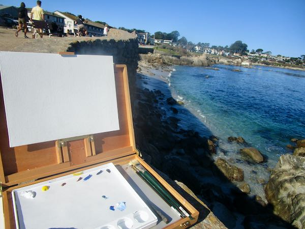
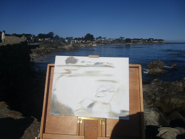
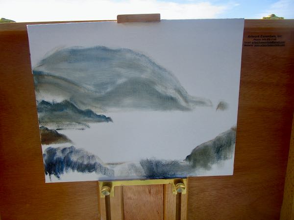
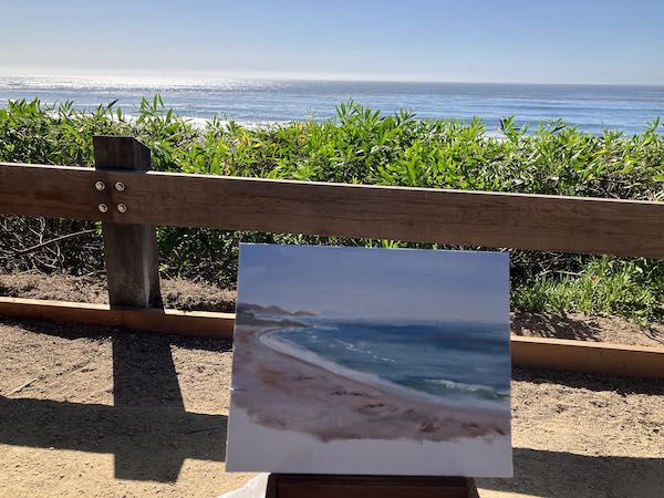
This time I decided to draw directly on the canvas panel, to save some time.
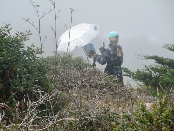
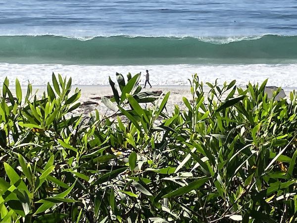
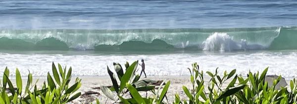
Now, where will I put my little stool? There is no space, and it makes me too low. My main limitation (besides finding a parking place) was that when I sit, there are often shrubs blocking the view. In this case, it was a picket fence.
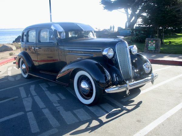
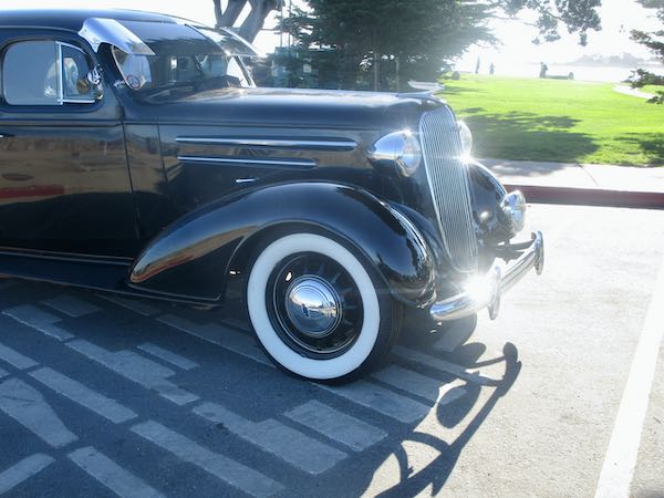
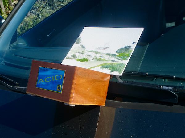
AHA! I will sit on Fernando’s hood, a less than ideal situation, but remember, sometimes an artist has to do what she has to do.
I got a few basics down, and realized it was ridiculous to paint that way. The slant of the hood (“HEY! Get back here, paintbrush/palette knife/palette/paper towel!”) along with the wind raging from the ocean behind me made it untenable. So, I took some photos to use later.
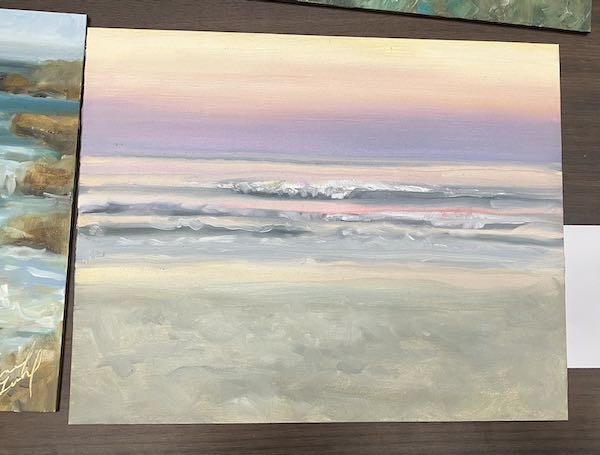
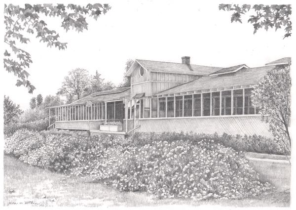
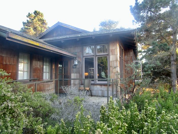
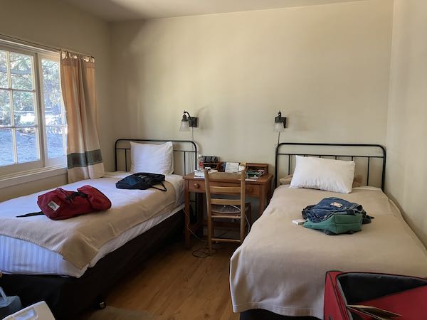
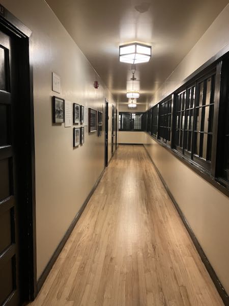
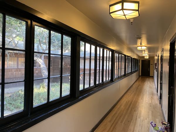
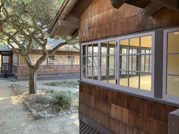
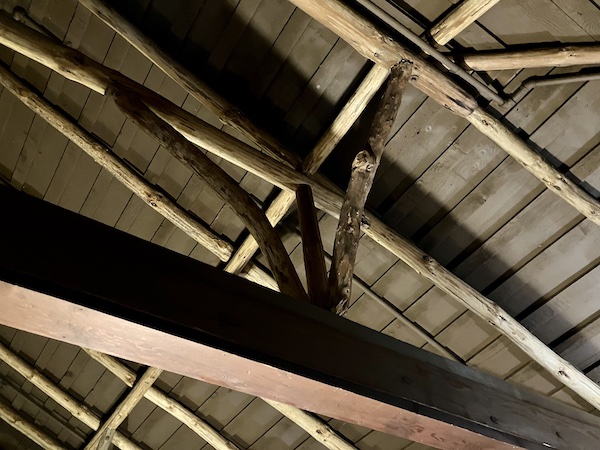
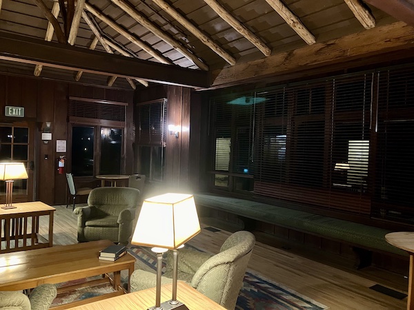
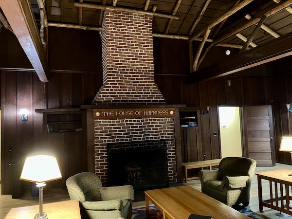
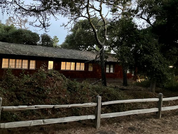
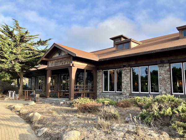
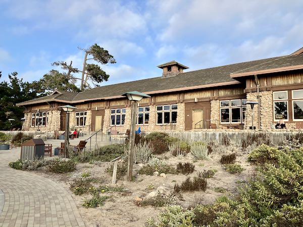
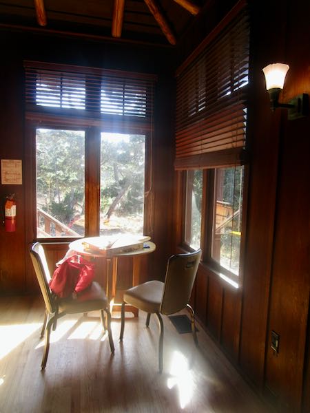
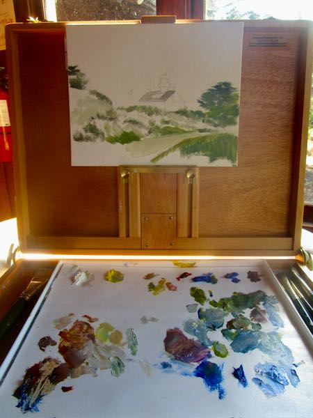
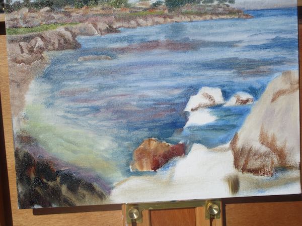
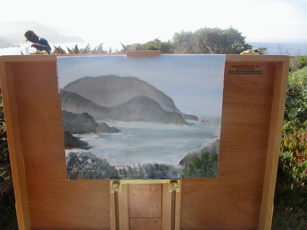
Forget this. I am a studio painter, and I need to sit quietly and look at my photos to complete this painting. I returned to Asilomar and set up in the living room of the lodge where I was staying.
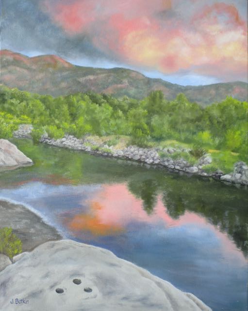
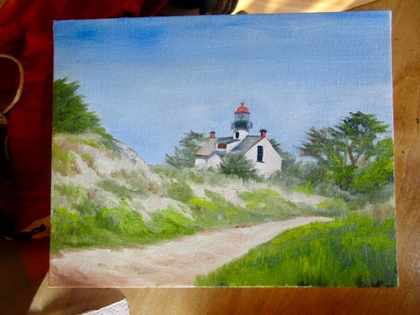
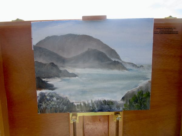
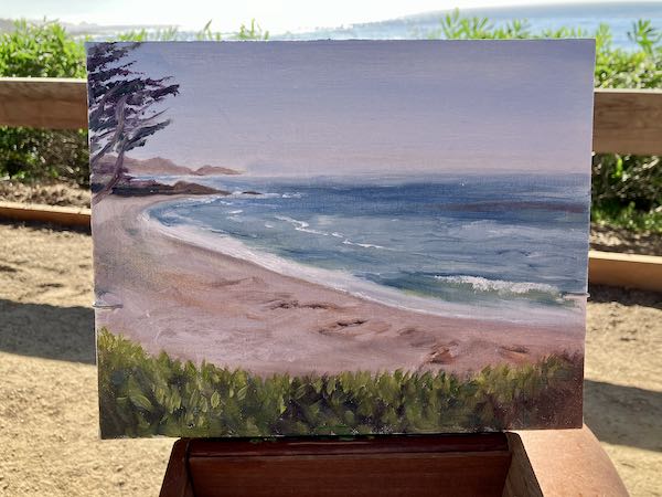
Alrighty then! I like this, and will like it better when I detail it to pieces.
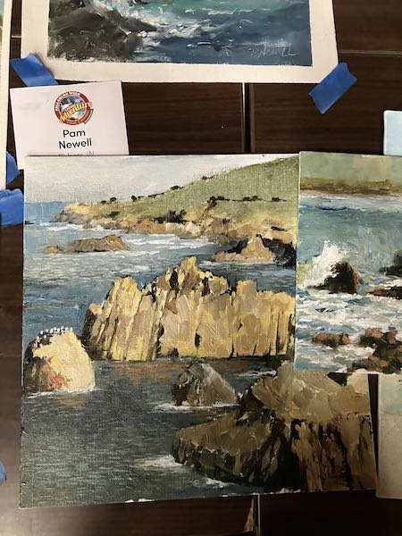
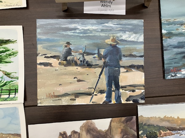
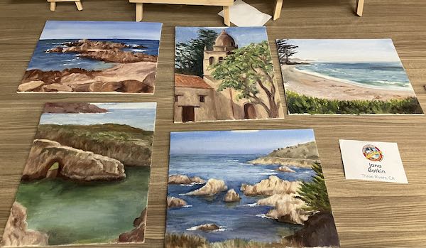
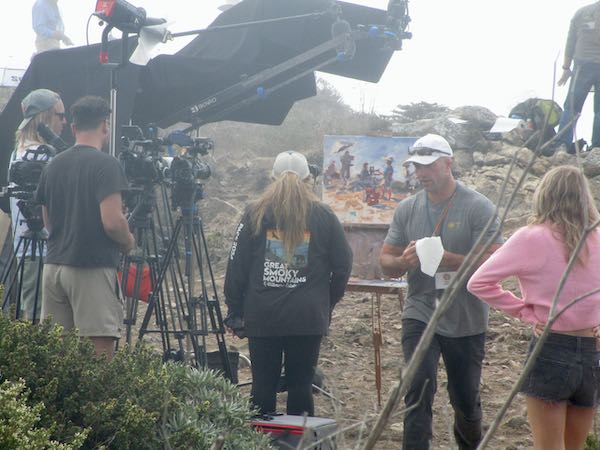
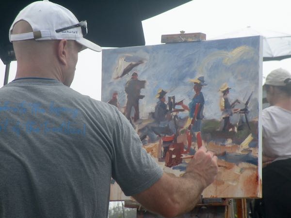
This was a good way to end my 6 days of painting at Fall Color Week at Asilomar. I will show you some other parts of the week in a few more blog posts.
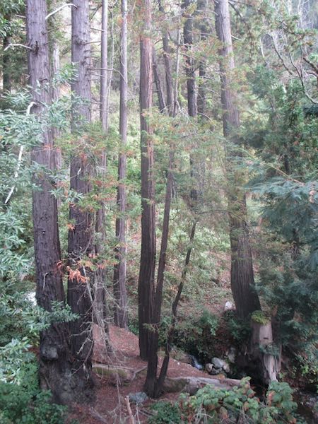
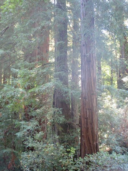
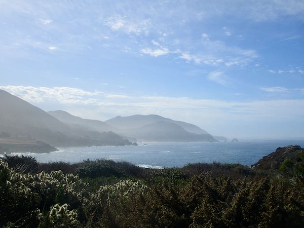
Meanwhile, back at the ranch. . .