My first blog post was April 15, 2008. Since then, I’ve posted over 4000 times, and my “media library” has around 19,000 pictures.
Tech is continually updating, which is just a euphemism for “complications”. Stuff that used to be easy becomes more difficult. Companies that used to sell products (virtual products in this case) outsource their services to other countries, where people can work from home on the phone, while practicing their English. Services that used to come with the virtual products now cost money.
Programs that used to be bought on a disk to get installed in your computer became available only through the interweb airwaves. Then, they became outdated, stopped functioning, and updates started to cost money. Next, you have to subscribe instead of owning the program (now called “apps”, short for “applications”). The price starts out small, but incrementally increases.
The pressure to buy continues to increase, often built on the fear that you might lose your information.
This is happening with my website. I’ve had four or five web designers, and each one either quit working for him/herself* and went to work as an employee of a company that charges 2-3 times as much, or quit to have a baby.
Now I have to pay to get help, pay to protect my information from getting stolen, pay to store my information, and pay to protect from getting invaded by anonymous creeps.
IT’S ALL TOO MUCH!!
So, I am now deleting all my old photos and old posts. Nobody cares, so why am I keeping it stored in some virtual cloud, paying some mysterious company full of advertisers, fear-mongers, pushy sales people, and strangers from even more companies to protect it all?
So, here I go. . . trash, delete, trash, delete.
I wonder if anyone will notice? I wonder if anything will improve on my site? I wonder if I will be able to back it up without getting an error, a message that I don’t have enough space, a warning that my whole site might “crash”, and someone with a difficult-to-understand accent telling me I will need to rebuild my entire website from scratch?
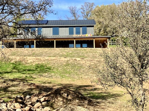
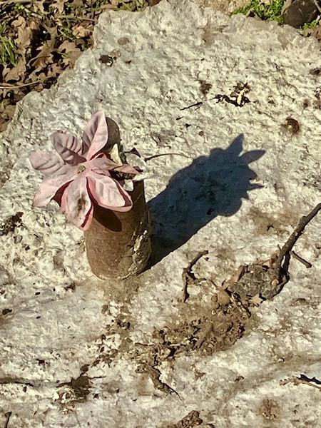
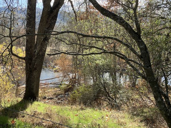
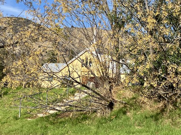
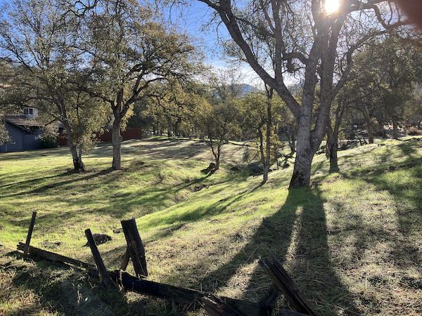
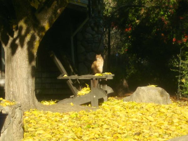
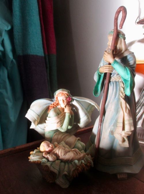
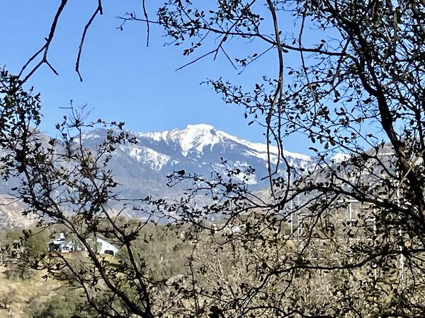
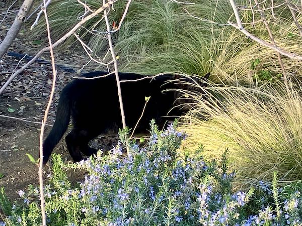
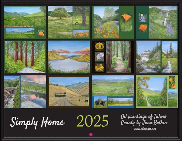
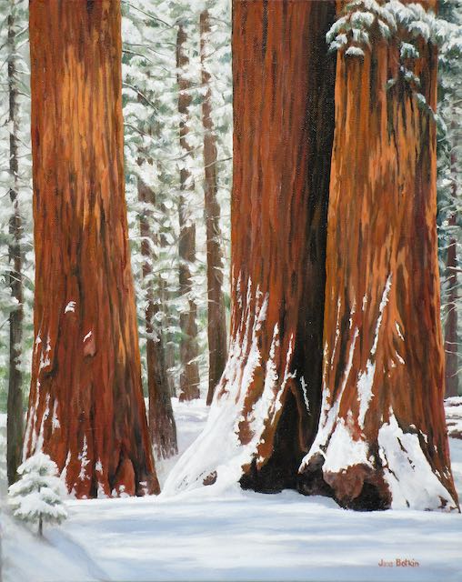
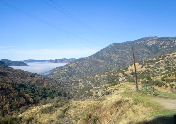
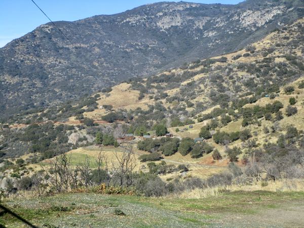
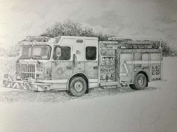
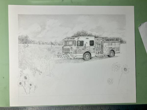
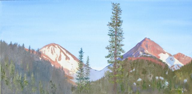
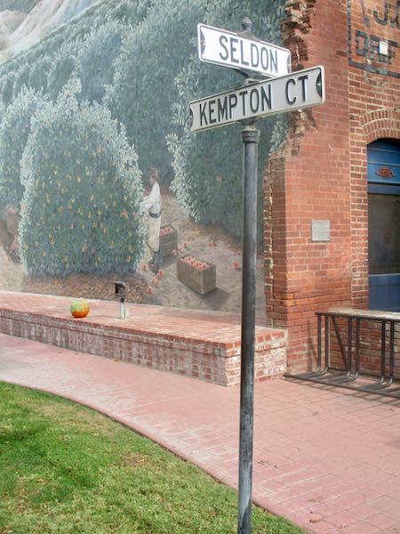
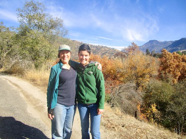
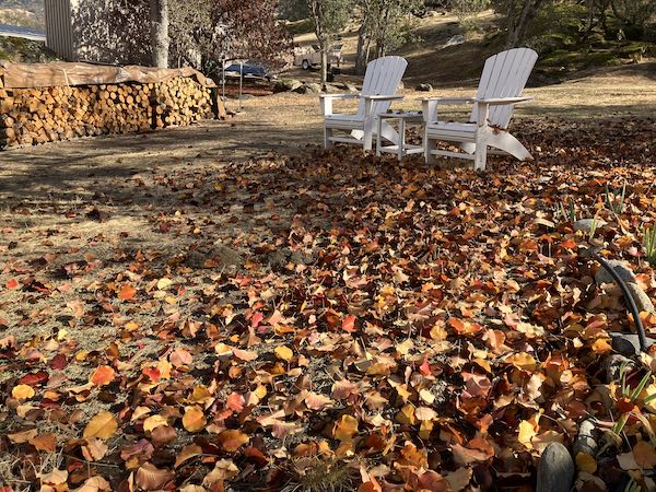
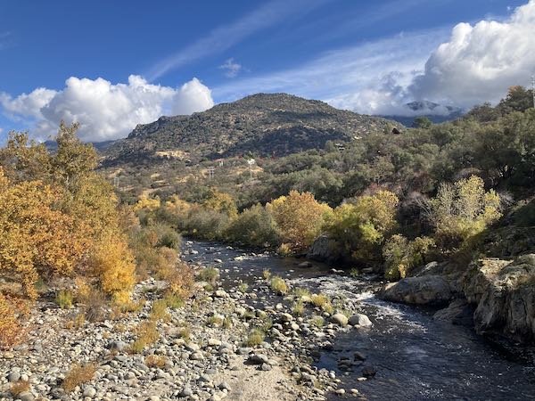
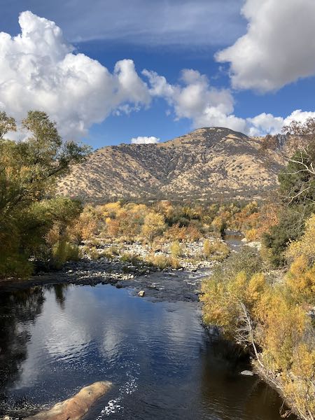
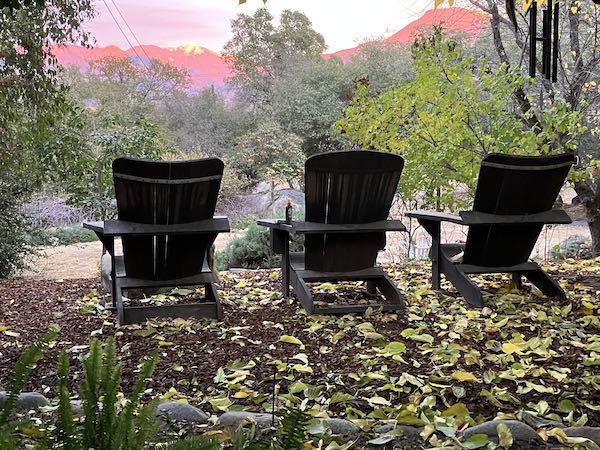
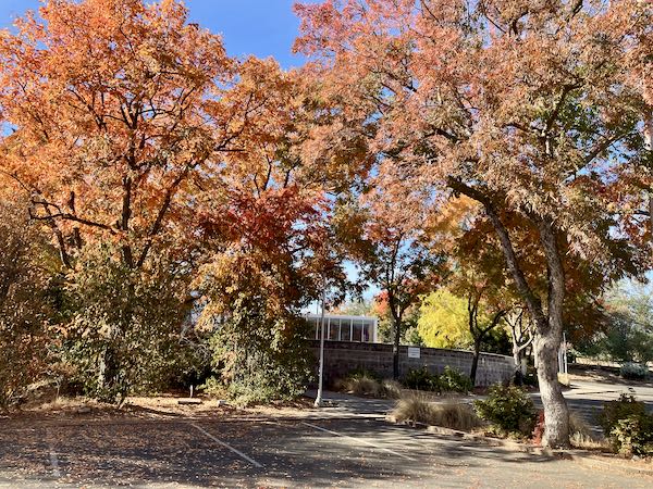
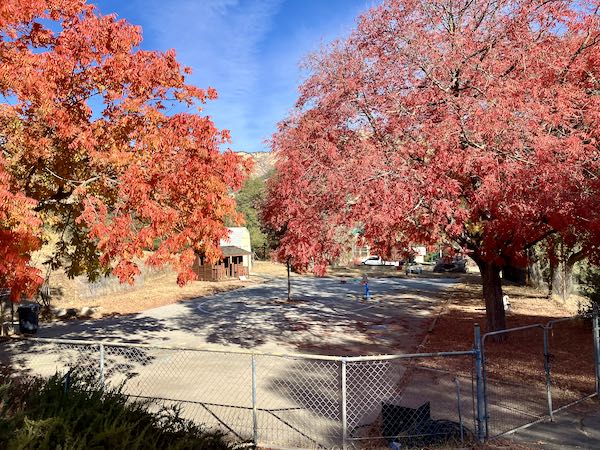
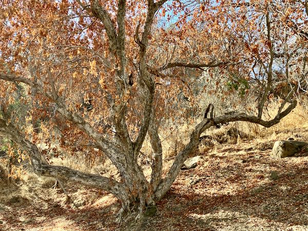
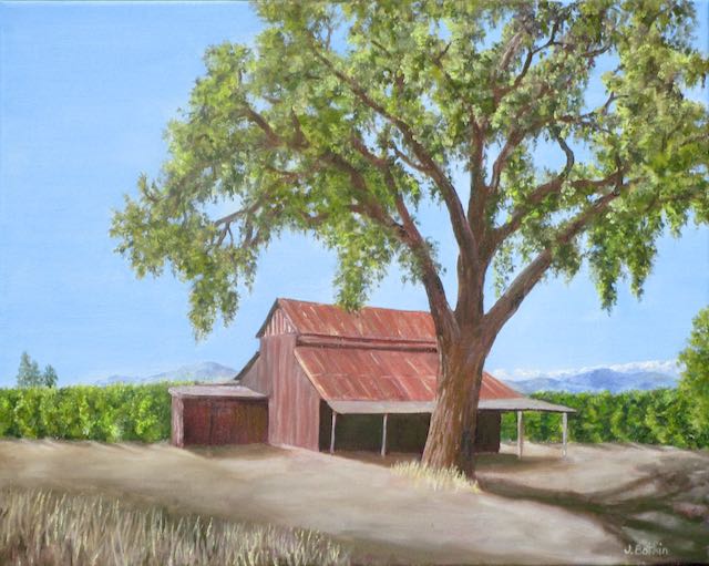
I just came here to be an artist, to depict the things and places that we know and love, and to show and tell you about them.
Okay, back to the virtual dump. . . thanks for showing up today and listening to all this.
*Nope, not going to use a plural pronoun for a singular situation.