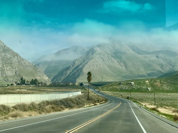
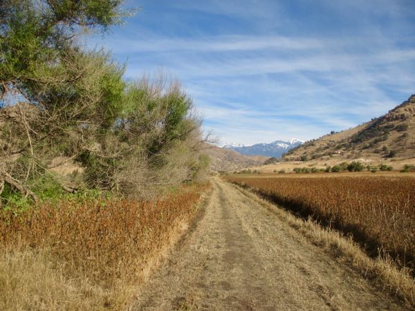
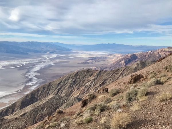
After Sidewinder Canyon in Death Valley, we took the long drive to Dante’s View. Dante was an Italian poet in the 1200s who wrote something called “The Inferno”, an appropriate sort of name for anything associated with Death Valley. Many places there refer to death and other unpleasant sorts of things, which is fitting when one considers that most things in the desert are designed to stab, kill, or poison the visitor. And almost everything in Death Valley National Park is a long drive.
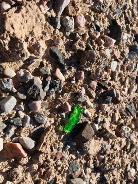
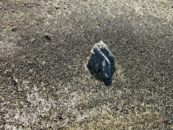
I found a very pretty rock, but experience tells me that rocks turn meh when they get home, so it was a Leverite – “Leave ‘er right where you found ‘er”.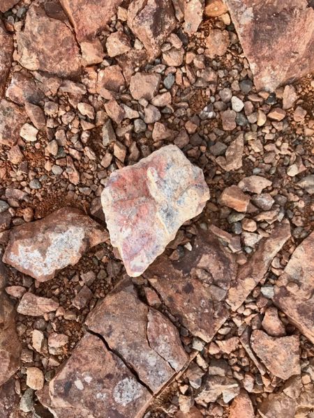
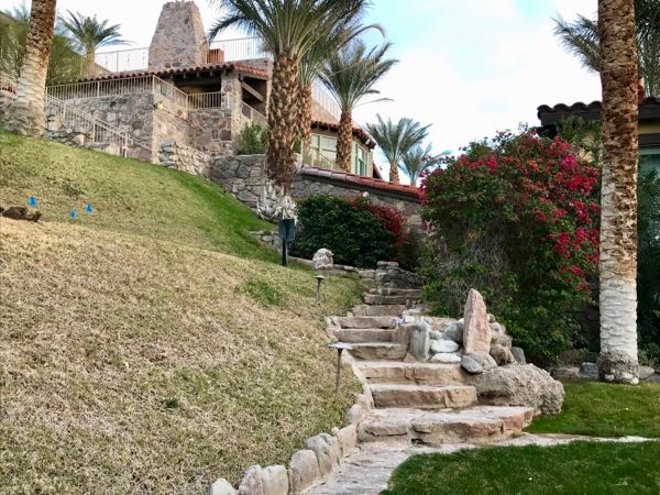
After Dante’s View, our hostess/tour guide/dear friend showed us a magical place, appropriately called The Inn at Death Valley. It was opened in 1927, and it was truly beautiful.
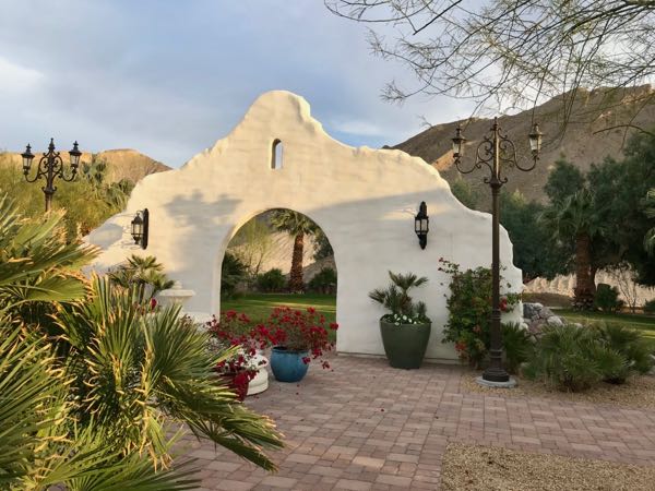
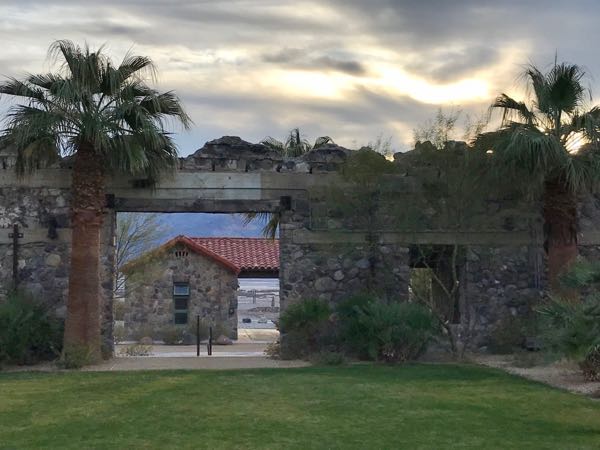
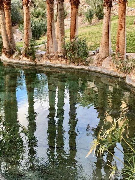
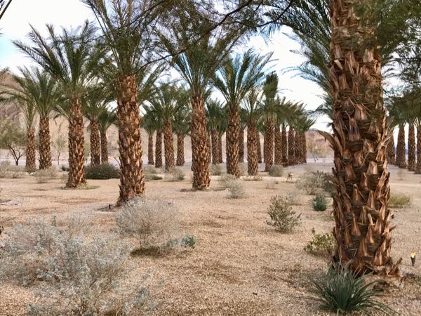 There was a burned out building that got turned into a beautiful garden, ponds surrounded by palms, stone steps and paths, classic architecture, and a mysterious palm orchard, for which I can find no explanation. These aren’t date palms.
I have questions. Always.
And maybe you have a question for me. Ask away!
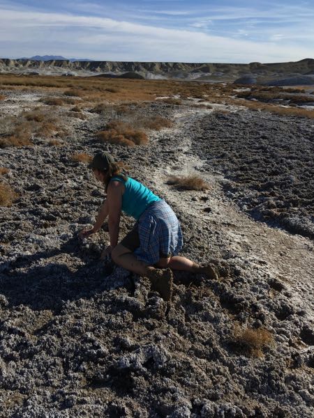
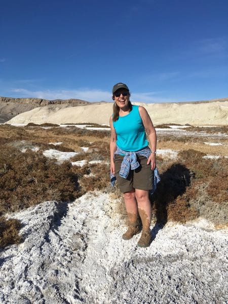
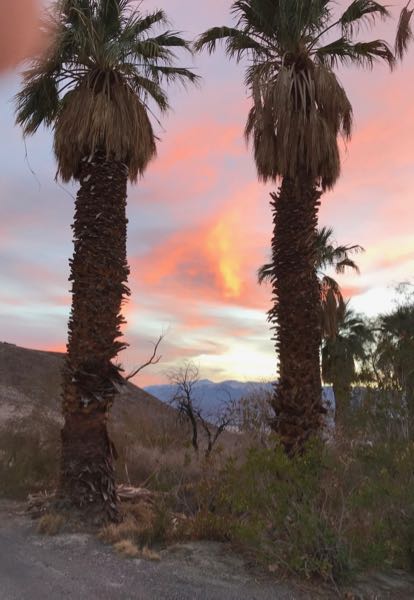
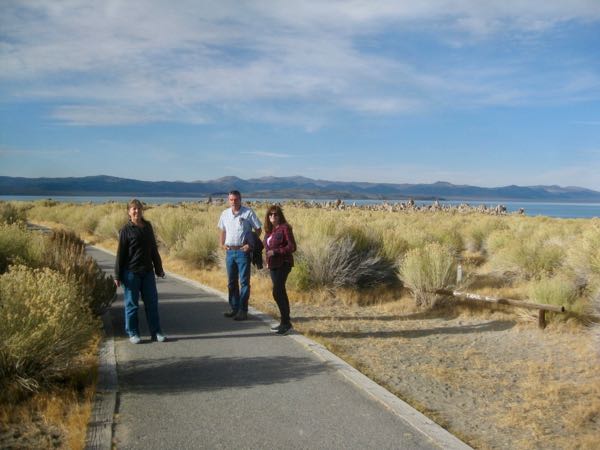
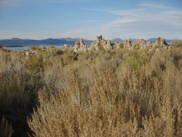
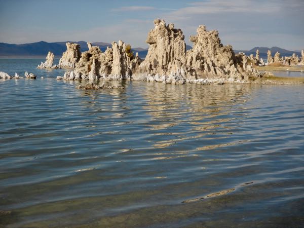
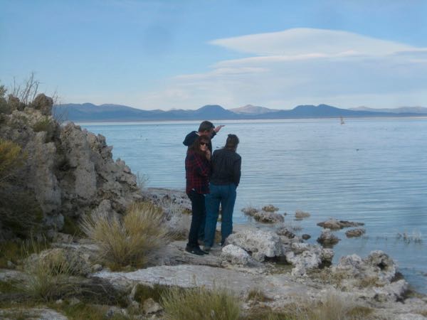
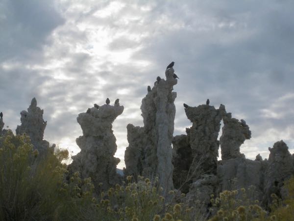
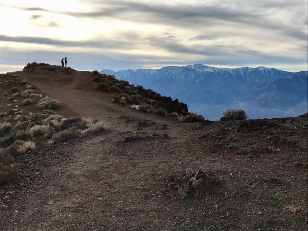
Okay, just two more photos.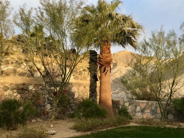
And thus we conclude another road trip with the Central California artist, with the hopes that some seed of new creativity lodged in her inquiring mind.
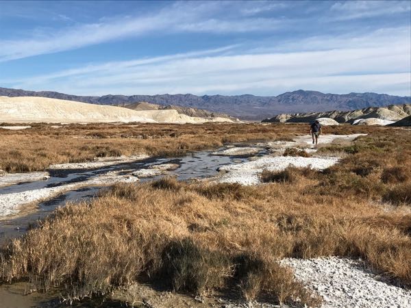
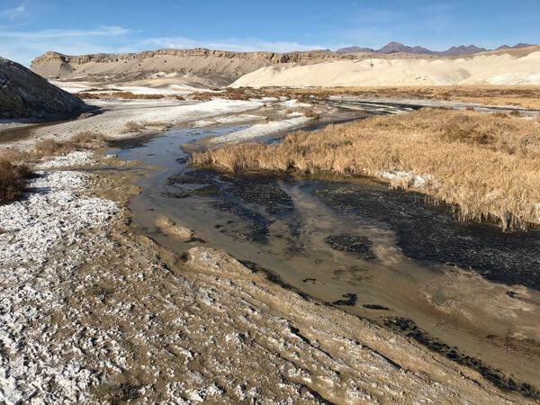
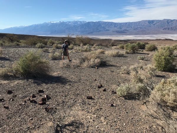
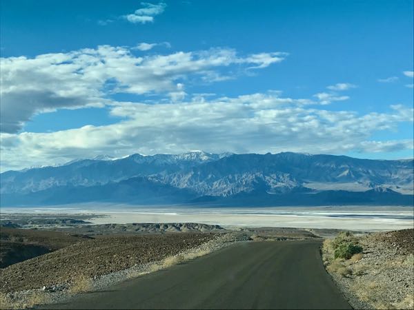
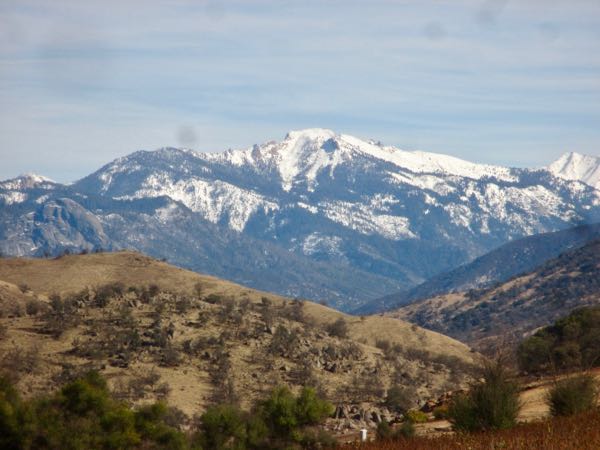
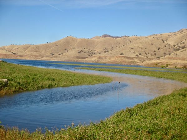
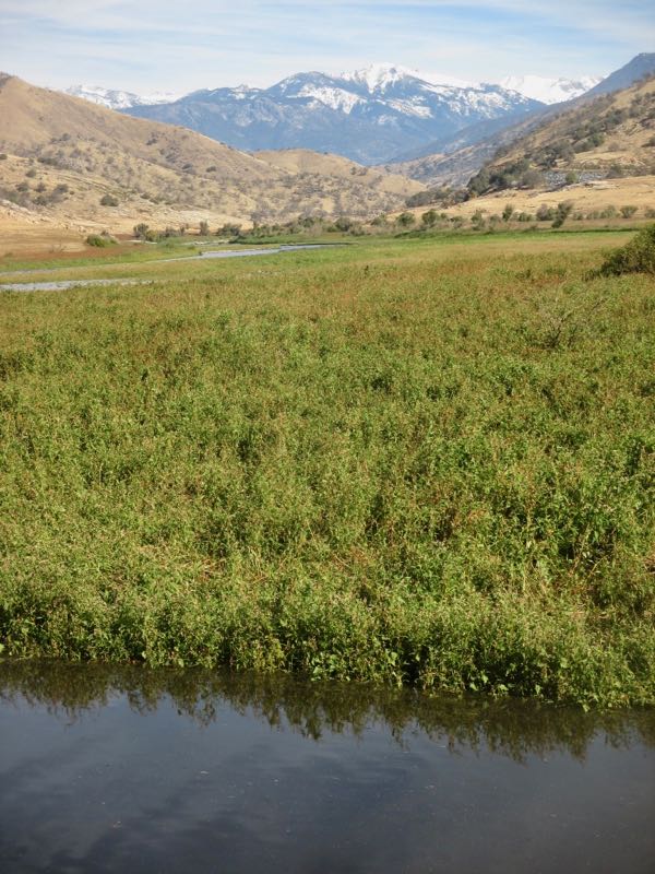
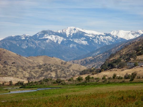
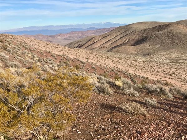
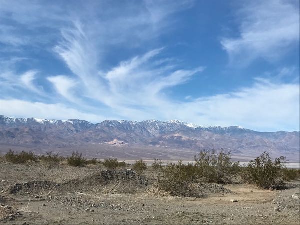 This is the view looking back across the valley before we headed on foot up the canyon. The Valley. Death Valley.
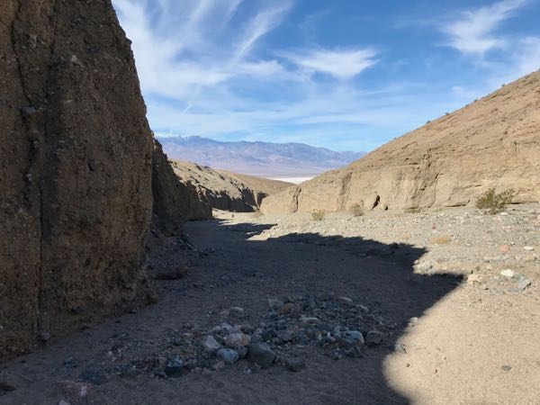
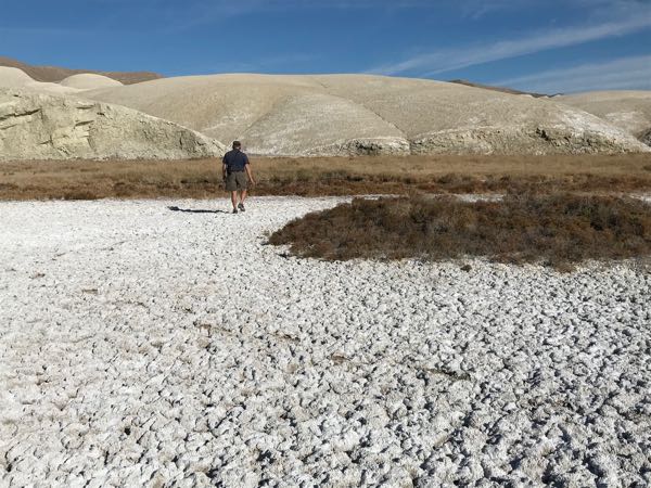
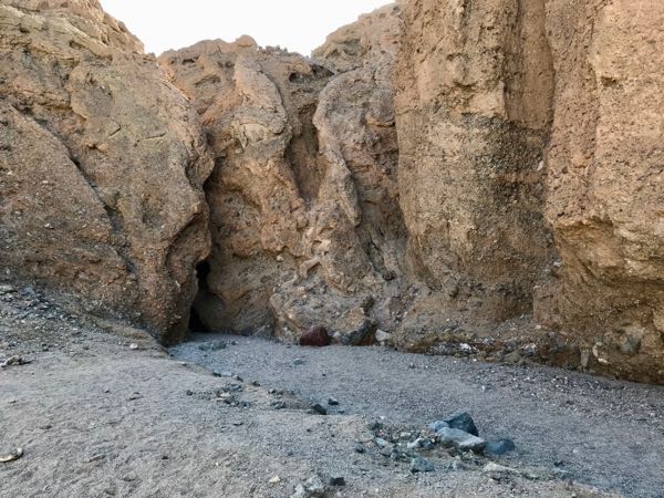 That crack in the wall is our destination.
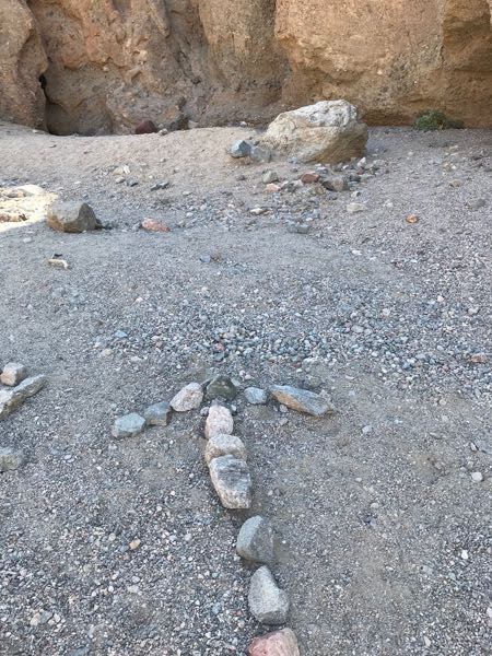
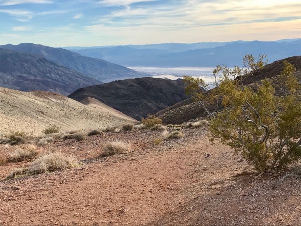
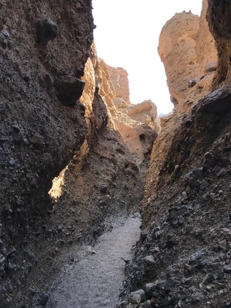 Looking ahead.
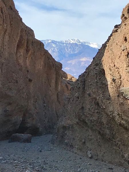 Looking back.
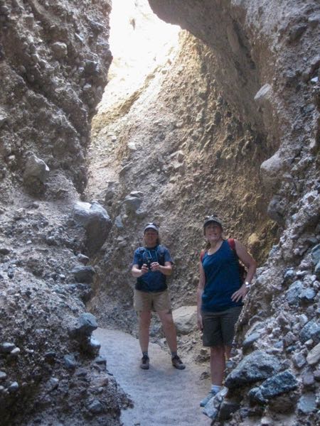
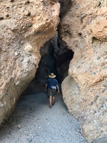
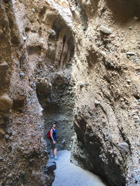
 Trail Guy helped me up the steep steps.
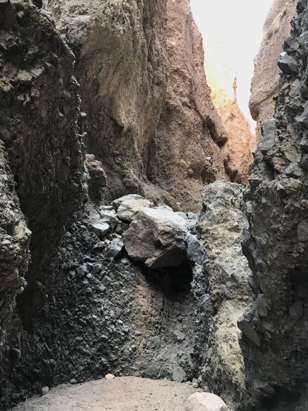
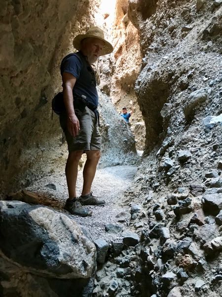
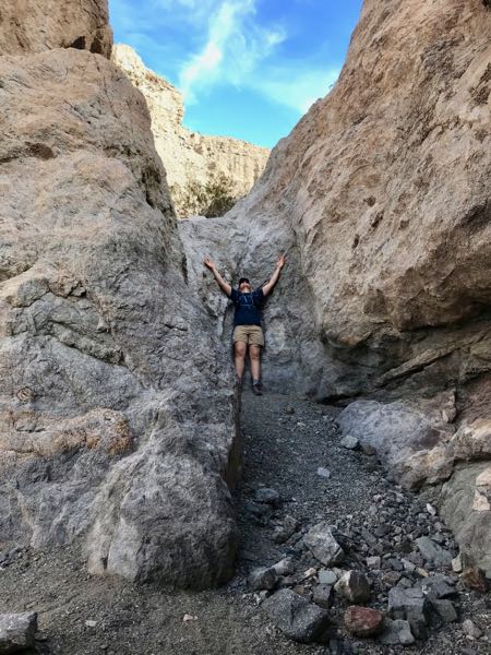 Then we reached a wall. Time to head back.