Ever been to Marble Falls? Until one week ago, I hadn’t. It is in the foothills of Sequoia National Park, and I’ve heard it is steep and hot; it isn’t that steep, and in January, it was pleasantly warm (low 70s) and very green. To get there, go into the Potwisha campground and drive to the far end where there is parking for a few cars at the trailhead. Walk along an interesting old flume for 1/4 mile, and then, don’t get so interested in the flume that you fail to notice the small “TRAIL” sign to the right.
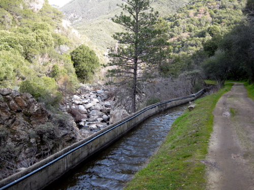
This flume borrows water temporarily from the Marble Fork of the Kaweah, uses it to make electricity near Ash Mountain for Southern California Edison, and sends it right back into the river. Clean, established, historic, good!
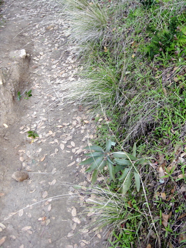
Here is a photo of looking down while hiking – if you are prone to tripping or stumbling, sometimes it is wise to watch your feet. However, there is something else in this photo. Look at it here:
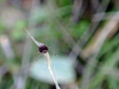
This is a tick. (Weird word in English – tick-tock, that ticks me off, this tick will bite you if given a chance, the worry of getting bitten is giving me a tic under my left eye, etc.) These little critters sit on the ends of grasses and branches just waiting to hop aboard an unsuspecting body as it passes by. The hike to Marble Falls needs to include stopping to do Tick Checks from time to time!
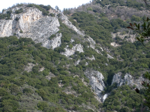
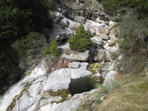
On the photo above, see the white near the bottom right that looks like a falls? It isn’t. Really! It is marble, but it isn’t water!
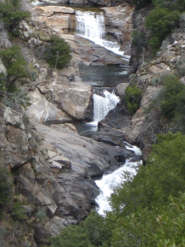
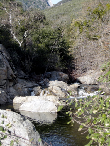
(photo above) These are falls along the Marble Fork, but they aren’t Marble Falls either.
This is Marble Falls, 3.9 miles up the trail. Couldn’t find a place to take a decent photo! The falls are most impressive if you are sitting on the marble at the top and seeing the water fall off into space.
The falls are below Eleven Range Lookout on the Generals Highway on the east, and at the base of Admiration Point on the west. This is off the Colony Mill Road (that you can no longer drive on), which connects the Crystal Cave Road to North Fork Drive.
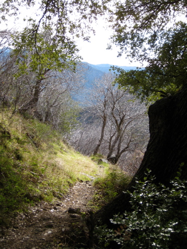
And finally, here is a view of the trail on the way back and one more of the river back near Potwisha.
Comments are closed for this article!