Skip to content

Field Trip up the Mineral King Road

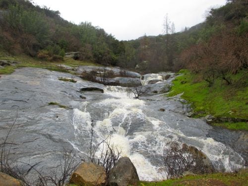
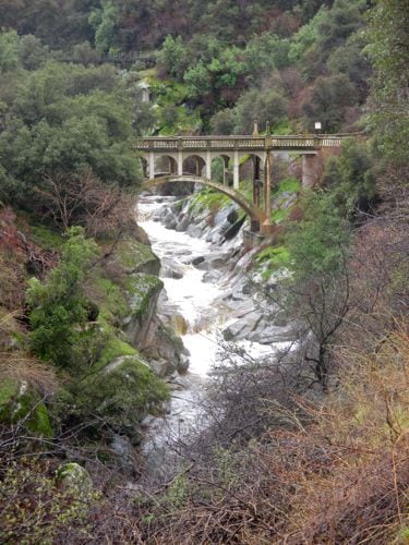
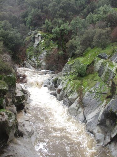
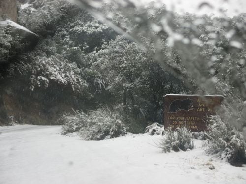
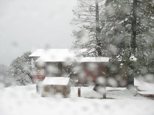
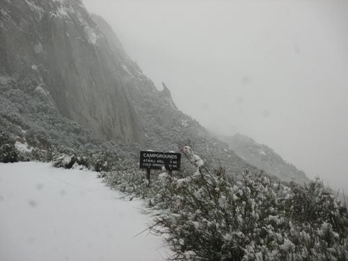
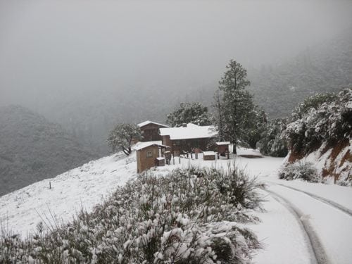
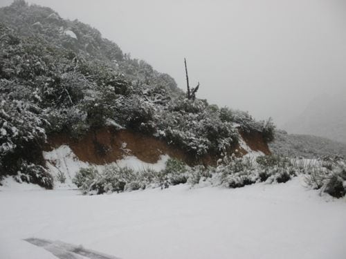
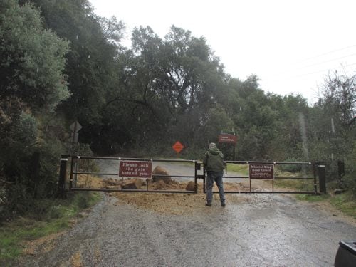
One day while I was painting the Oak Grove Bridge, Trail Guy said he wanted to drive up the Mineral King Road and see how things looked. I put down my brushes and put on my boots.

The bridge was the first stop.
All that muddy water obscured the boulders and rock formations that I have been struggling to decipher in the photos.
Through the windshield after the we reached the snow.
Lookout Point, through the windshield.
I got out of the truck to lock the hubs. Glad I wore those LLBean boots.
Lookout point after I locked those hubs.
Lookout Point after I locked those hubs.
We didn't make it very far. This is at the asphalt pile turnout. The snow was about 3" deep there.
We didn’t make it very far. This is at the asphalt pile turnout, maybe 10 miles from the bottom of the road. The snow was about 3″ deep there.
Trail Guy closed the lower gate. Bit of a slide there, but it is easy to drive around.
This is Squirrel Creek, near Lake Canyon, AKA Mitchell Ranch, AKA Sweet Ranch, AKA Way Station. It goes dry in many summers.


2 Comments

  1. What fun! And the snow level is quite low.

    Is “Squirrel Creek” where the “potholes” are? It’s hard to tell with so much water running over the rocks. Glad to see that!

    Thank you for taking us on your little adventure.


Comments are closed for this article!